Pete's Walks - Buckland Common, Cholesbury, Chartridge (part 1)
If you are considering walking this route yourself, please see my disclaimer. You may also like to see these notes about the maps and GPX files.
I did this walk of about 12 miles on Tuesday 23rd October 2007. It was a much colder morning when I left home today, only 3-4C. I started the walk at Buckland Common, where I had started my penultimate walk on the Chiltern Way this Spring. In fact, for the first mile or so I followed the route of the Chiltern Way northwards (indicated by waymarks).
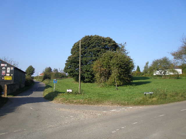
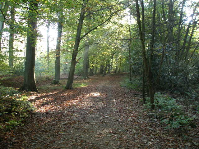
Buckland Common - the route starts along the lane on the left
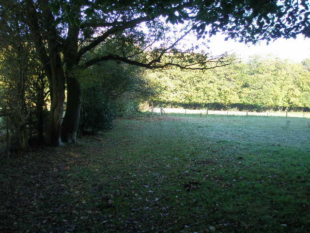
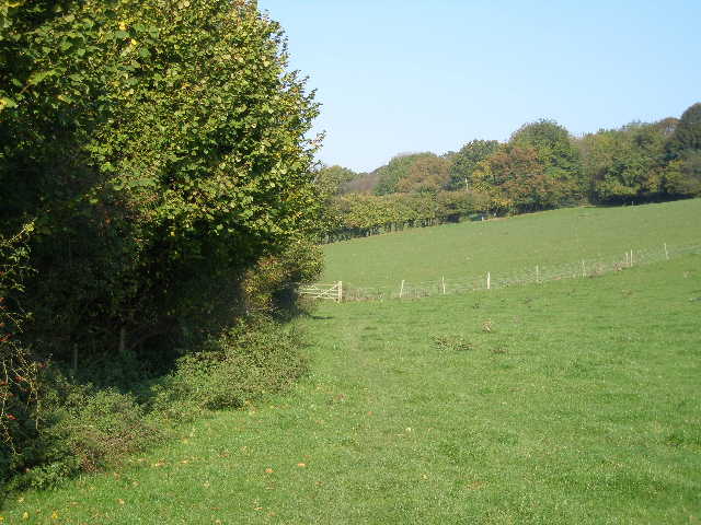
From the small car park by the post box in Bottom Lane, Buckland Common, I took the no-through road shown in the photo above. I took the second footpath on the right, which crossed a field to reach a drive or track. Across this the path followed the left edge of a triangular paddock or pasture. In the next field I turned right and followed the field edge to where the footpath left it. The path ran beside some paddocks that usually contain Alpacas, although there seemed to be only three or four of them here today. There was no sign either of the two pigs that were on the path when I came this way in the Spring! But I did see a Muntjac deer here.
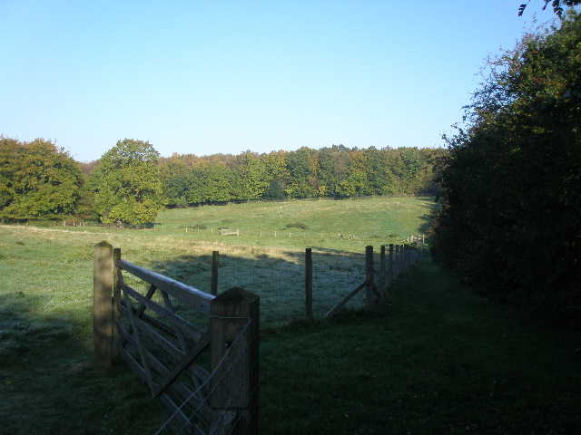
The path beside the Alpaca paddocks
I carried on through Drayton Wood (continuing ahead when a path joined from the right and then when one joined from the left) and crossed Shire Lane, part of the boundary between Buckinghamshire and Hertfordshire. I went through a small wood, with a lot of holly bushes, and took a path across a field corner towards the left-hand end of a line of trees. Here I turned right (I'd been here on my previous walk three days ago) and walked through the belt of trees following Grim's Ditch, an ancient earthwork shown here by a small ditch on my right. At the end of the tree belt I turned right onto Brown Lane, an ancient green lane (it's possibly Brown's rather than Brown Lane - it's not marked on my map, and the Chiltern Way guide book is inconsistent in what it calls the track).
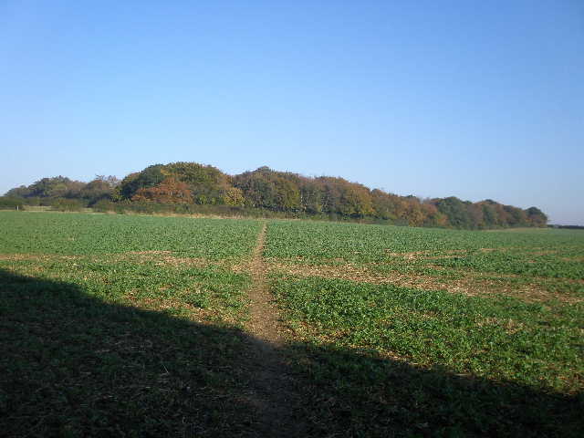
Path heading towards Grim's Ditch, which runs along the line of trees. Brown Lane crosses Grim's Ditch at the right-hand end of the line of trees.

The path alongside Grim's Ditch
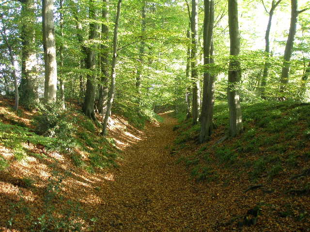
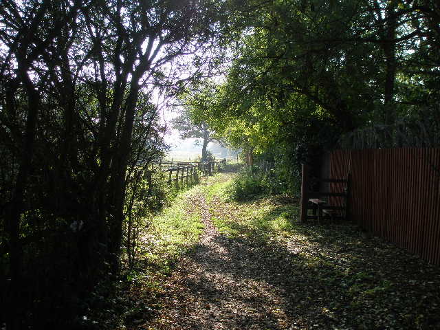
I had now left the Chiltern Way and was entering what was new territory for me. Brown Lane was a pleasant stony-surfaced track between hedges, with ploughed fields either side and woods visible in most directions. I soon entered High Scrubs Wood and continued through it for about half a mile.
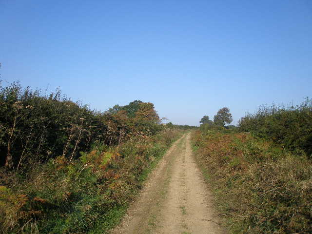
Looking back along Brown Lane
The Bridleway through High Scrubs Wood
After a while there was a large grassy field visible on my right, and at the end of it I turned right on a crossing path, leaving the wood and following a hedgerow on my left. The grassy field had several fences and other features for show jumping, as did the field on the left of the hedge. In fact there were three jumps where horses could jump through the hedge, so anyone using this path needs to listen out for thundering hooves approaching from the other side of the hedge!
At the end of the field I crossed a road and took a path almost opposite (slightly left). This ran between a garden boundary on my right and some stables or outbuildings on my left, then through a wood with paddocks to my left. At a path junction I went left to cross the end of two paddocks beside a hedge and then entered another small wood.
Looking back across the paddocks from the entrance to the wood
Just beyond the wood I reached Cholesbury Camp, the most impressive of the Iron-age hill forts in this area. Most of the original oval enclosure remains, the village of Cholesbury only encroaching in the southwest corner, and most of the way round is a very large ditch with tall banks each side where beech trees grow. In fact there were originally two ditches, and this can still be seen at the western end. Inside the enclosure now are some small paddocks and the church of St Laurence, which dates to the 13th or 14th century but was largely restored in the 1870's. Excavations have shown that Cholesbury Camp was in use from about 300BC to 50AD, but was only sparsely and intermittently used, possibly only being made use of in times of danger.
Part of the ditch and banks surrounding Cholesbury Camp
I had been here before, making a slight detour from the Chiltern Heritage Trail to see it, but I now wanted to explore it in more detail. So I turned left and followed the path that goes all round the camp, initially along the bottom of the ditch, then along the inner bank on my right. It then cut across the paddocks inside the enclosure and went through the churchyard, before returning along the outer bank to my starting point on the north edge of the fort.
While I was walking through the churchyard on my way round the fort I got talking to the church warden, who very kindly told me some of the village history and showed me an interesting grave in the churchyard. David Newton had served as a Royal Marine on HMS Revenge at the Battle of Trafalgar and lived to the ripe old age of 99, but he was in great poverty towards the end of his life until the vicar approached the Admiralty on his behalf and he was awarded a pension. There was a lot of poverty here in the 1800’s, and Cholesbury became the first parish in the country to go bankrupt, because it could not afford to support the poor of the parish.
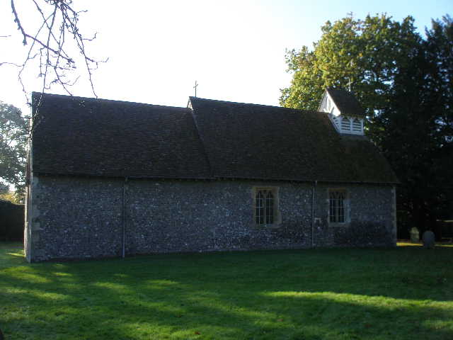
St Laurence's church, within Cholesbury Camp
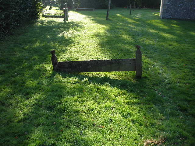
A 'Hertfordshire Bedstead' grave marker at St Laurence's church
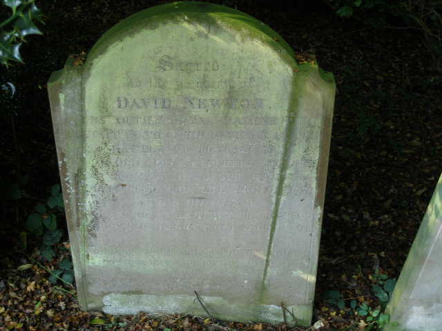
Grave of a survivor of the Battle of Trafalgar, St Laurence's church
I then took the path straight across the middle of the fort to reach the village of Cholesbury.
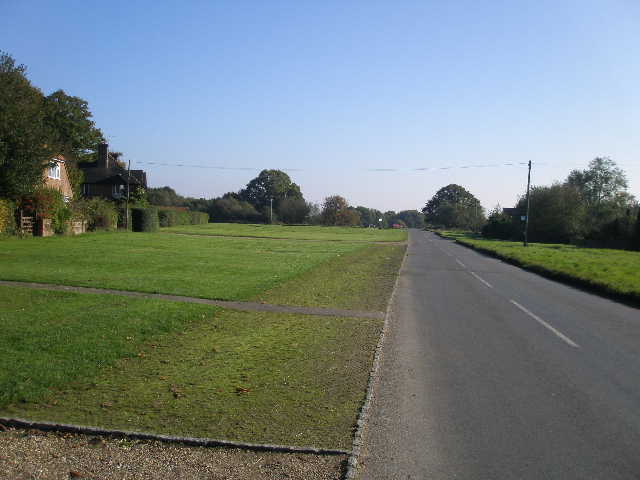
Cholesbury
I crossed the road and took a path almost opposite (slightly right), running between gardens to reach a large field, where I followed a hedge then fence down into a valley. I turned left alongside a fence in the valley, with Hawridge Windmill visible above the trees ahead of me.
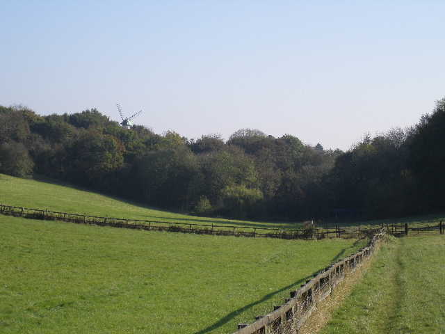
Path near Cholesbury, looking towards Hawridge Windmill
I crossed a road and continued straight on down the valley, passing a house and then going trough a wooded area before following a right-hand hedge through a series of pastures, some quite overgrown. I was now in White Hawridge Bottom, part of the Chiltern Heritage Trail which I walked about a year ago.
Looking back along the path through White Hawridge Bottom
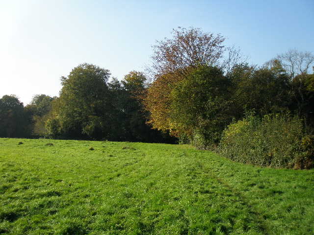
I followed the valley for about two miles, crossing a few other rights of way but not seeing any sign of habitation. There were cattle in one of the overgrown pastures, and evidence that they'd been in some of the others. I had to re-plan my route slightly - the bridleway past the Ostrich pens at the far end of the valley (which I remembered from the Chiltern Heritage Trail) was impassably muddy, so I took the bridleway up through Ramscoat Wood instead (I turned right on entering the wood). Alpacas and Ostriches on the same walk - I really must start up a Chiltern Safari company!

Bridleway through Ramscoat Wood
At the top of the hill, the bridleway turned right along the edge of the wood. Where it then turned left, I went further left, over a stile and along the left of a hedge, turning left at the next field corner. I followed a hedge on my right, with the wood now across the field on my left. The path then ran along the back of garden fences and hedges, with some paddocks on my left. I passed the junction where the path I'd originally planned on taking came in on the left, and shortly after reached a road (just yards from the outskirts of Chesham).
Path behind garden fences, Bellingdon
Across the road I followed a farm drive and where it went left into the farm I continued ahead through a sequence of gates and across a meadow to enter Captain's Wood, where I turned right.
Path to Captain's Wood