Pete's Walks - Chesham and Chartridge (part 2)
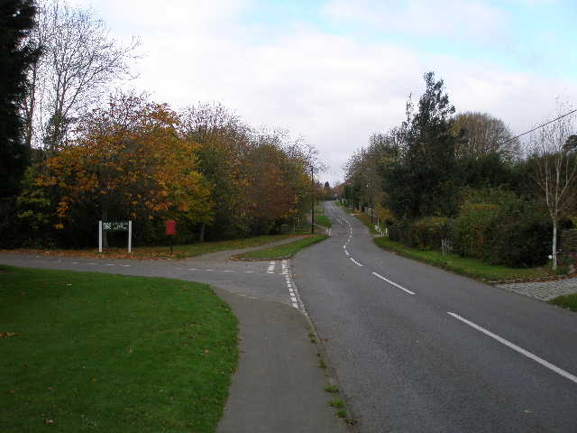
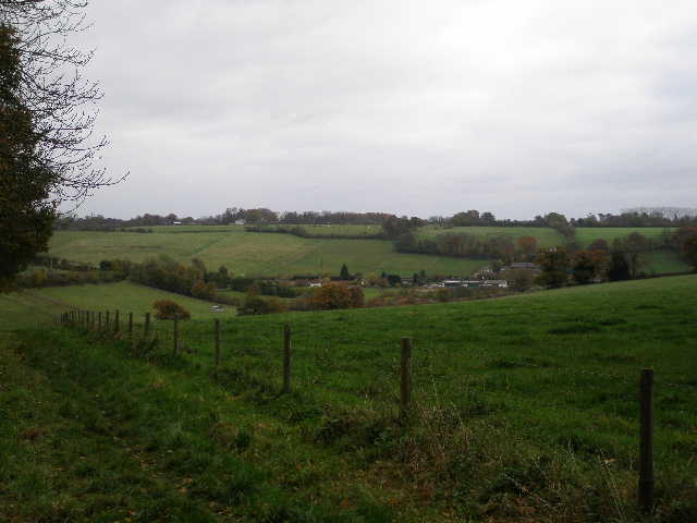
Looking back along the road through Chartridge
I turned right and followed the road through Chartridge for about three quarters of a mile, then turned left down Buslins Lane going steeply downhill. This turned right along the valley bottom, then went left to reach a road. Across this, I followed a farm drive and then a bridleway going back uphill into Captain’s Wood (where I’d been on that Buckland Common walk). The bridleway almost immediately turned right in the wood, but I continued straight on along a footpath. Near the far side of the wood I turned left when the path ended at a path T-junction. I then took the second footpath on the right, leaving the wood and passing close to Mount Nugent Farm to reach the edge of Little Hivings, a ’suburb’ of Chesham.
Buslins Lane
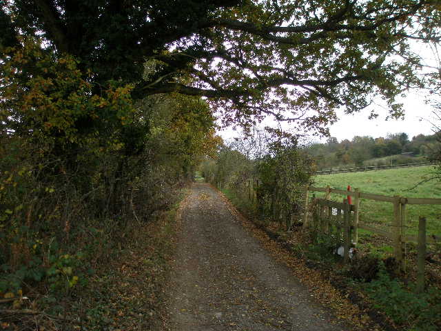
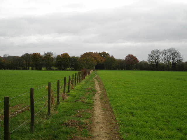
The farm drive and the bridleway heading to Captain's Wood
Across a minor road, a path led between some garden fences and some small enclosures on my right. After three or four hundred yards I took a path on the right that took me through Ramscoat Wood and down to the Ostrich farm in White Hawridge Bottom. Here I turned right and followed a byway to another road, running through a valley called Chesham Vale. I was now due north of the centre of Chesham.
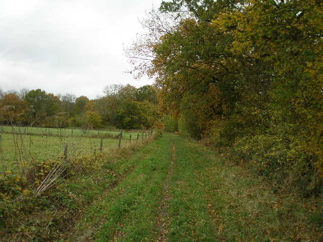
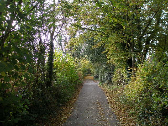
The path heading to Ramscoat Wood
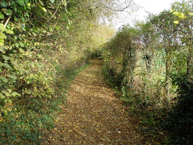
The path from Ramscoat Wood descending into White Hawridge Bottom
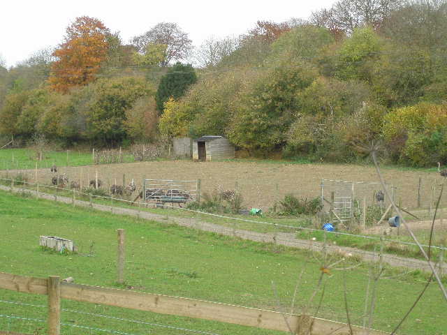
Ostrich pens in White Hawridge Bottom
I crossed the road and continued westwards on a path through Little Pressmore Farm, then uphill again across a couple of fields to reach the A416 Berkhamsted-Chesham road, south of Ashley Green.
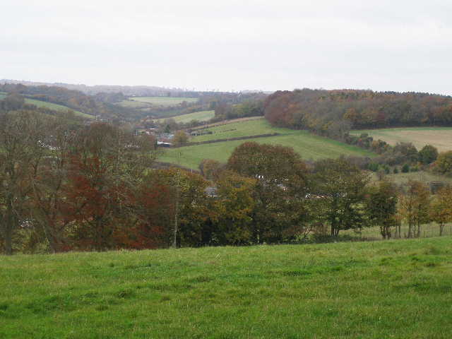
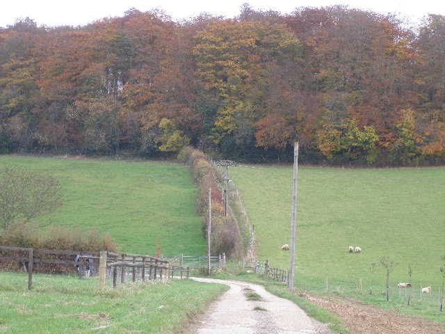
Looking north along Chesham Vale from above Little Pressmore Farm
I continued the other side, along a hedge and then across a field of winter wheat, following tractor tracks. The path was then enclosed between hedges for a while, before I turned right down a similar path to reach a road in Lye Green.
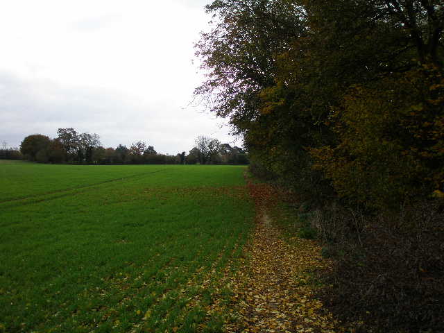
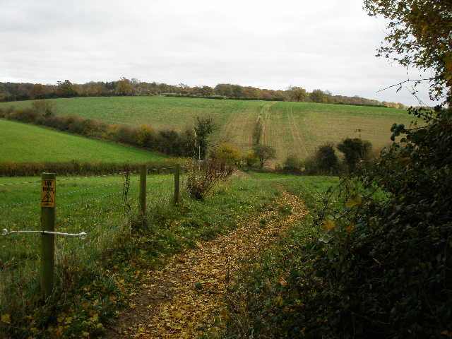
The path from the A416 to Lye Green
I went a few yards left, then took a path on the other side of the road, at first alongside a fairly new residential area, then across a large pasture to another minor road. Again I went a few yards left before taking a path on the other side of the road, where I continued alongside field boundaries to another farm drive and a road in Botley.
The path heading towards Botley
I turned right, then went left down a lane, turning right at the bottom of a hill into Bottom Lane. The tarmac surface soon ended and it became a green lane between hedges, running along the valley bottom. Where a footpath crossed, I turned right. I was now on the final section of the Chiltern Heritage Trail (which I walked last year), heading back into Chesham. At the top of a slight rise, I stopped to eat my lunch on a stile.
The start of Bottom Lane
Looking back along Bottom Lane
Looking back to Bottom Lane (running left to right along the valley)
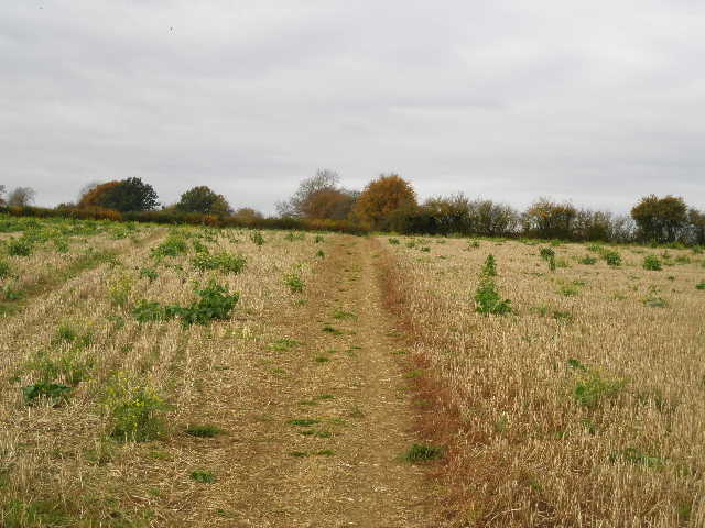
I then continued across a large fallow field that spread across the top of the hill. I followed the path for some way beside the grounds of a school on my right (very noisy as it was the kids’ dinner break). I crossed over a farm drive, and walked across a paddock. Through a kissing gate on the far side, the path turned right between a fence and hedge on the right. I then turned left through another kissing-gate, and followed a hedge on my right. In a field corner I went through another kissing-gate and went half-right through a field of stubble. The ground was sloping down ahead of me, and I could see a few valleys radiating away from Chesham. I was disappointed that the cairns had disappeared from the this field - when I first came this way, the route across the field was marked by small piles of flints, like the cairns marking paths in the Lake District.
The path to Chesham, heading towards the school grounds
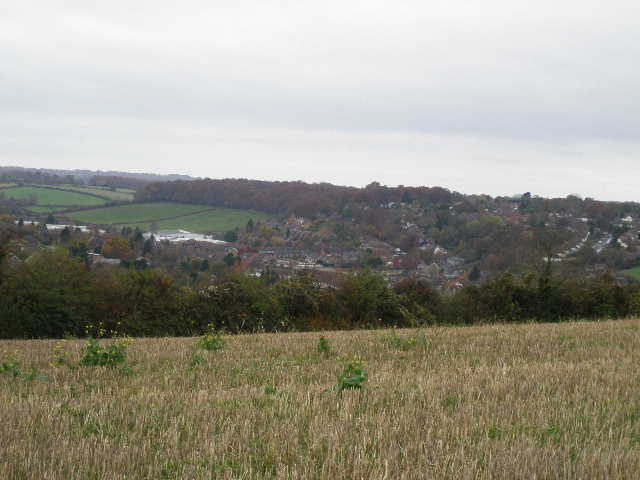
Looking north over Chesham, from what was once the 'cairned path'
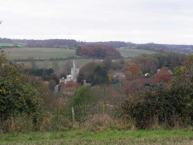
Chesham church, from what was once the 'cairned path'
Beyond the field, the path dropped downhill steeply. I crossed a footbridge over the railway line, and turned right to pass the station and return to the car park. It was only about 1.45pm, a very early finish for me. It had been a pleasant but unspectacular walk, certainly one that I’d be quite happy to do again.