Pete's Walks - Cowleaze Wood and Turville Heath (part 1)
If you are considering walking this route yourself, please see my disclaimer. You may also like to see these notes about the maps and GPX files.
Google map of the walkDownload GPX file of the walk
NOTE (6/11/2025): Parking at Cowleaze Wood is no longer free, there is now a cashless payment system. To see details, click here and then click on the 'Parking and prices' tab.
If you are interested in walking this route yourself, click here to see the route description (but only if you have already read my disclaimer and notes regarding route descriptions).
This is one of my absolute favourite walks in the Chilterns Hills. It is a circular route, about 11 miles long, starting and finishing at Cowleaze Wood, which is just south of the M40 at Stokenchurch. It passes through Christmas Common, Turville Heath, Ibstone and the Wormsley estate. It is basically the same walk as Walk 16 of my Chiltern Chain Walk, shortened slightly to miss out Ibstone church. These pages and photographs describe my experiences on the walk on Monday 2nd March 2009.
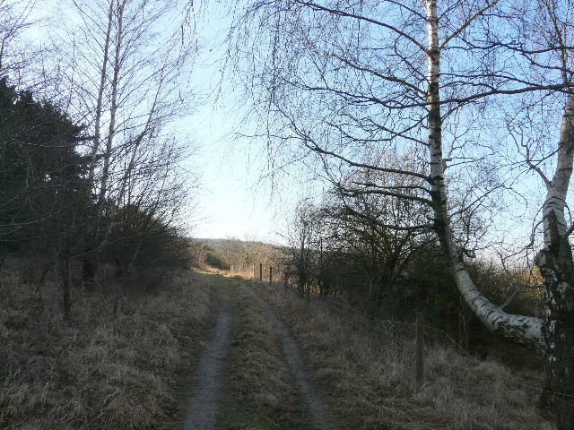
I had chosen a lovely day for it, as there wasn’t a cloud in the sky as I drove to the start of the walk. I started walking from the car park in Cowleaze Wood at about 9.50am - straight away I could see some Red Kites nearby. I walked through the car park with the road to my right, followed a short path through trees and then took the second of two paths on the other side of the road (on the far side of a tree belt). This footpath went diagonally across a large empty pasture and downhill through a belt of trees. The next section was one of my favourite paths in the Chilterns. The path gradually descended down the side of Shirburn Hill, with a glorious view ahead over the Oxfordshire Plain. About half a dozen Red Kites flew low overhead as I went downhill, and near the bottom of the slope I saw three Buzzards and a Kite together.
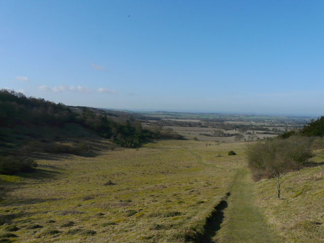
The path descending beside Shirburn Hill (to the right), looking out over the Oxfordshire Plain
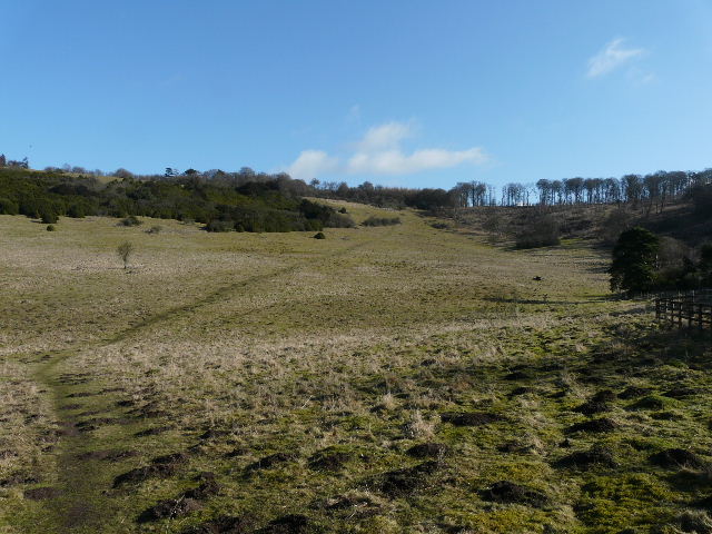
Looking back at the path down Shirburn Hill
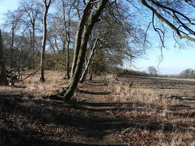
The path then went through a gate, turned right and followed the foot of the steep Chiltern escarpment, with flat ploughed fields beyond the fence on my right. The slopes on my left were wooded, initially with mainly coppiced Hazel, later with Beech.
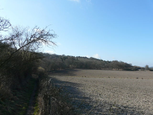
The path along the foot of the Chiltern escarpment
The path along the foot of the Chiltern escarpment
The path approaching Pyrton
The path then went through some scrubby bushes to reach the route of the Oxfordshire Way long-distance path, on a lane or drive near Pyrton. I turned left, and at the end of the drive continued along a path rising steeply up Pyrton Hill. Near the top of the slope I forked right, the new path crossing a couple of sheep pastures to reach a road near Christmas Common.
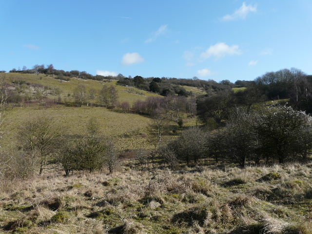
View from the path rising up Pyrton Hill
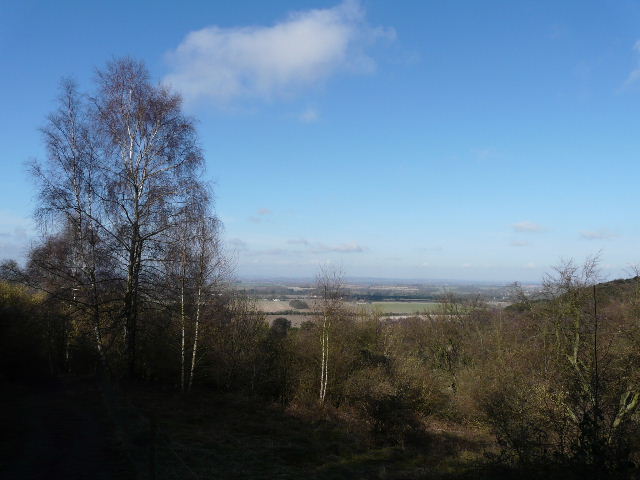
View back over the Oxfordshire Plain from the path up Pyrton Hill
The path through the sheep pastures to Christmas Common
I turned right and walked through part of the attractive village, ignoring road junctions first on the left and then the right. After passing the pub on my right, I took a path on the left beside the former church. This path took me through Queen Wood to Hollandridge Lane on the edge of the village. I followed the lane right for a couple of hundred yards, but then took a bridleway on the left (again part of the Oxfordshire Way). This descended through Beech trees into a valley, where I went right at a junction, to follow a bridleway along the valley bottom for about two miles.
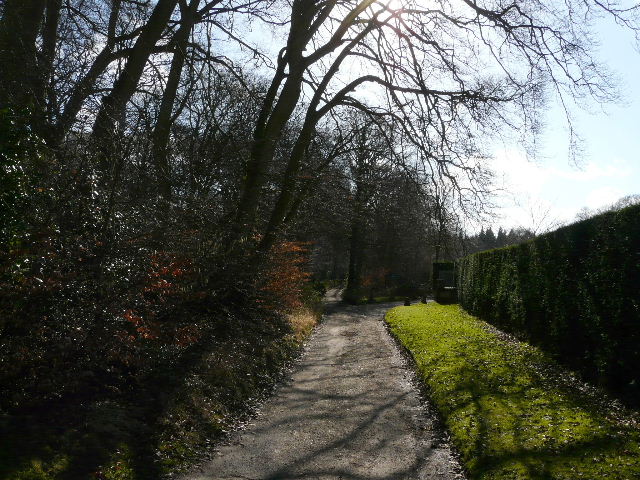
Hollandridge Lane, leaving Christmas Common
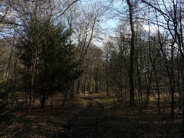
The start of the long bridleway from Christmas Common
The valley was wooded, in some parts with broadleaved trees such as Beech, but more often it was mixed woodland, with a mixture of Beech and Fir or Pine trees. After some distance I reached a path crossroads where I crossed the Chiltern Way (the Oxfordshire Way went right here). The bridleway continued down the valley - at some point I heard and saw a Buzzard overhead. Eventually the bridleway left the woods and followed the valley as it curved right.
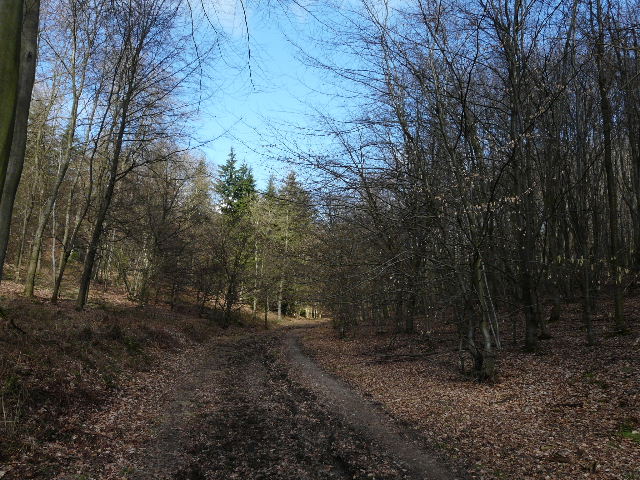
Looking back along the bridleway
Looking back along the bridleway
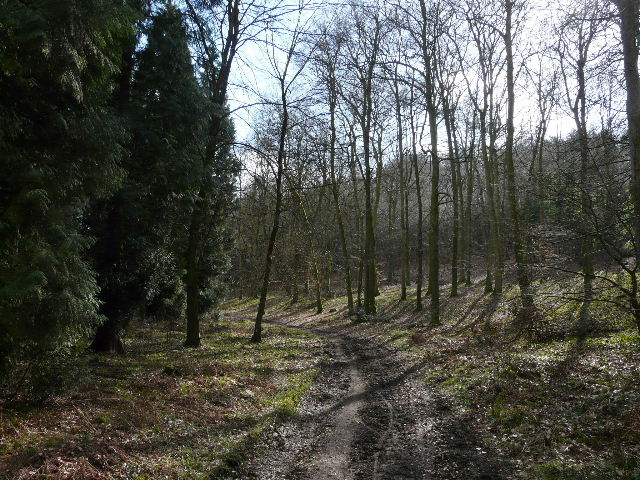
The long bridleway
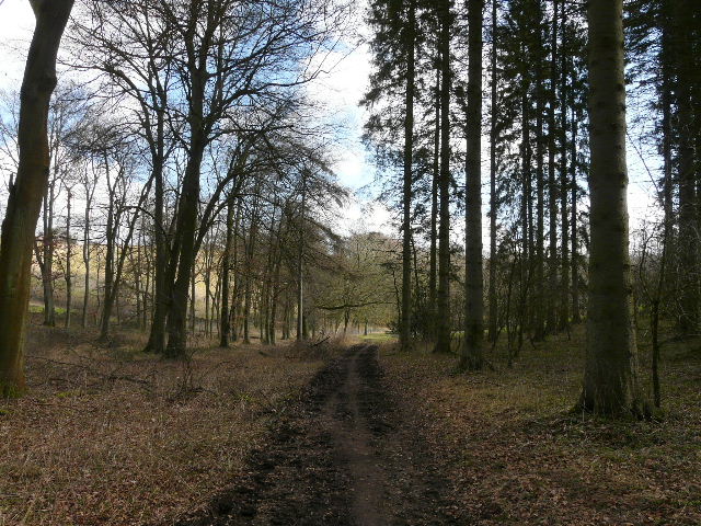
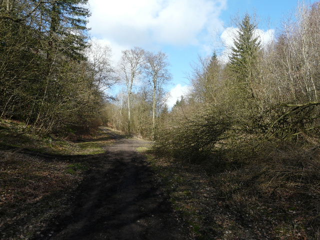
The long bridleway, shortly before exiting the woods
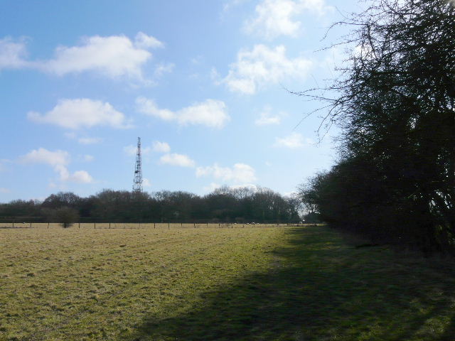
I passed Turville Park Farm, where there were a large number of tiny calves in the open sheds, and continued between fences and then alongside a hedgerow. After a few hundred yards the track switched to the left of the hedge, with ploughed fields either side.
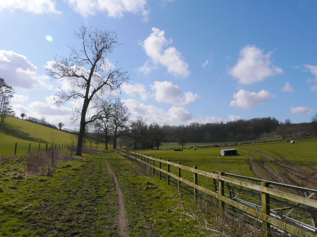
The path just beyond Turville Park Farm