Pete's Walks - Hambleden, Bovingdon Green, Frieth (page 3 of 3)
Eventually the path went over a tiny bridge over an even tinier stream, and then crossed a more open area with a couple of cottages on my left to reach a road. I crossed the road and followed a path through a small bit of wood, turning left at its end along a track or drive for a few yards to a kissing gate on the right. I had to make a decision as to my route here - I could have chosen a shorter way back to Hambleden, along paths I'd not walked before, but chose to leave that for another time (as I've another route I intend to do from Hambleden). Still on the route I'd done just once before, I picked up a footpath going northwest (right), initially beside Moorend Wood (on my right) and then across an empty pasture to reach the southeastern corner of the village of Frieth. A few yards left, I continued in the same direction as before along a village street and then a track, with nice views to my right, to reach Moussells Wood.
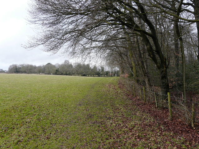
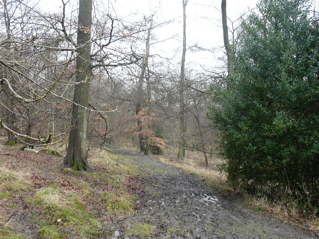
Path from Moorend Wood to Frieth
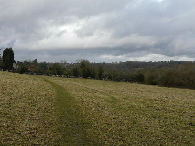
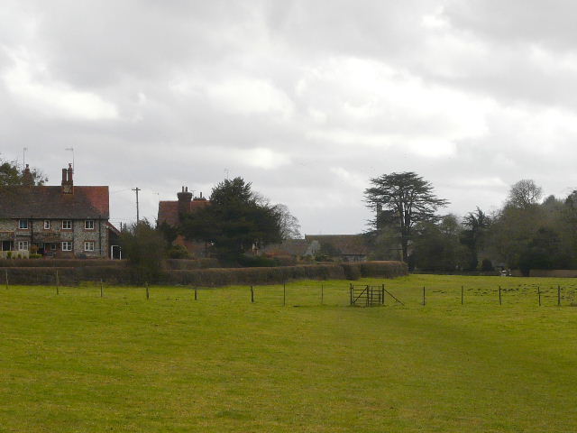
Approaching Frieth
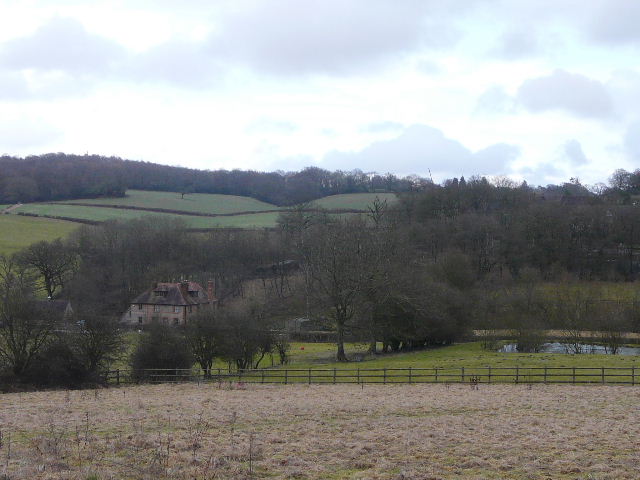
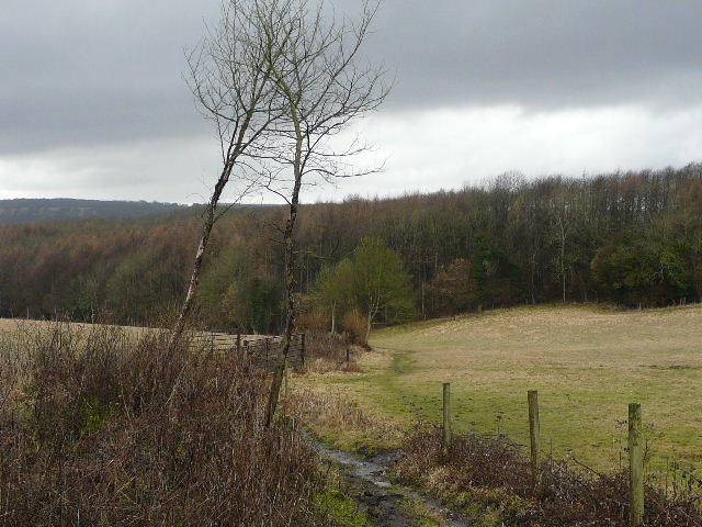
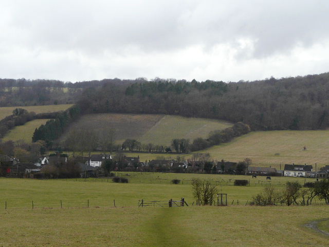
View northeast from the northern edge of Frieth
The path almost immediately turned left to head westwards through the wood, with a steep slope going downhill on my right, to a large valley with Hanover Hill on the far side (which I visit on Walk 14 of my Chiltern Chain Walk, between Fingest and Lane End). It was raining again now, quite heavily, so I couldn't take too many photos here. After about half a mile I emerged from the wood at a path junction - I had a moments panic, as I didn't recognise where I was and briefly thought I'd gone completely wrong, before a careful study of the map showed that I was exactly where I should be. I'd come along the path on the right from Adam's Wood when I'd walked this path the other way round a couple of years ago, but on a whim I decided I'd go ahead a short distance and then turn right to reach the wood, thus walking the two sides of a small rectangle that I'd not walked before. I was glad I did, because even in these dark and wet conditions there were some good views, far better than if I'd gone the way I'd originally planned.
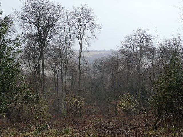
View north from Mousells Wood
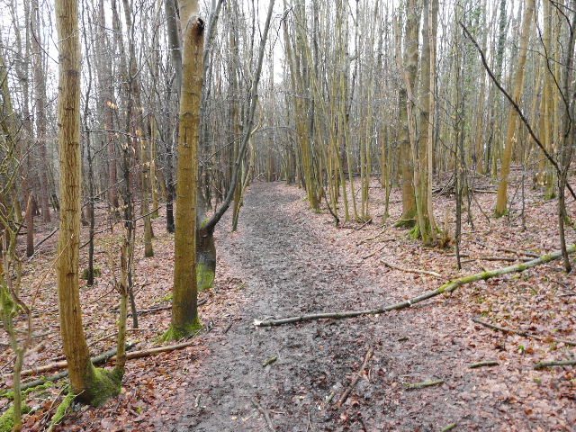
Path through Mousells Wood
Bridleway to Adam's Wood

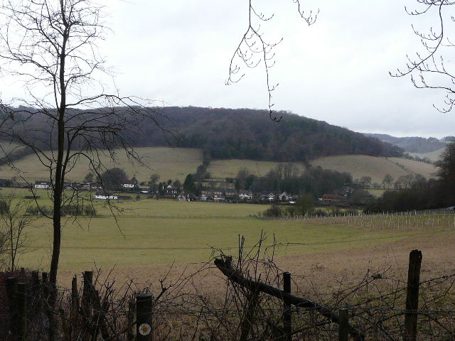
From the same point, looking southwest to the Hambleden valley
A short distance into Adam's Wood I came to a junction where I turned left, joining the familiar route of the Chiltern Way which I'd follow all the way back to Hambleden. The path headed southwest through the trees, descending slowly. The slope steepened slightly as I left the wood on a track, then eased again as I went through a gate and crossed a couple of pastures to reach the edge of Skirmett, nestled in the northern end of the charming Hambleden valley. My route turned sharply left along the far side of the second pasture, rather than entering the village, though I did pass a few cottages as I then turned right down a lane for a short distance, before continuing southwards (left) on familiar paths down the valley (still following Chiltern Way signs). The heavens really opened for a while here, with a few hailstones amongst the rain, but it soon passed. I saw a large number of deer, about 80 I think, across the valley to my right - I'd seen them in more or less the same spot as I'd driven past this morning, and once saw a herd of 180 here on a previous walk about three years ago.
Path through Adam's Wood
Skirmett, in the Hambleden valley
Approaching Skirmett
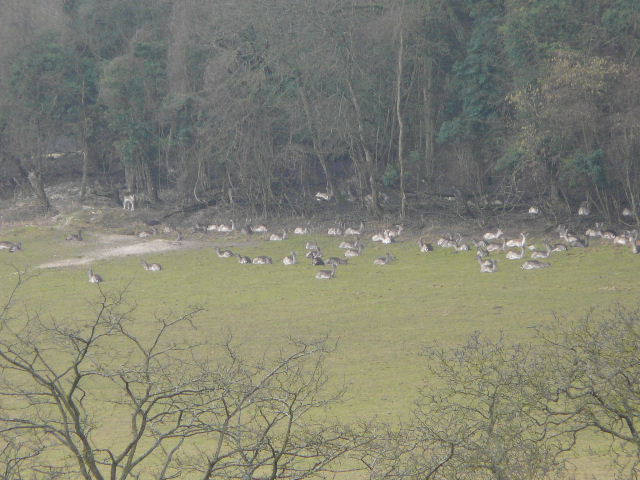
Fallow Deer, on the western slopes of the Hambleden Valley - going by this and the other shots I took, there were about 80 of them
The pleasant route passed close to Arizona Farm and on to the hamlet of Colstrope. I continued ahead on the lane through this hamlet, and took a path starting near where the lane turned right. There were plenty of Red Kites about, and I saw another Buzzard too. The paths continued down the valley to reach another hamlet, Pheasant's Hill. The path continued straight on here, and as I left the hamlet I was pleased to see the topiary face in a hedge that I first saw when I walked the Chiltern Way in 2005. It was then a short distance through a paddock and across a couple of flat pastures (going slightly right in the second one) to return to the picture-postcard village of Hambleden. I turned left along a village lane, passing the church on my left, and crossed the square in the centre of the village to return to the car park.
The path through the Hambleden Valley, between Arizona Farm and Colstrope

Approaching Colstrope
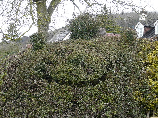
Topiary face at Pheasant's Hill
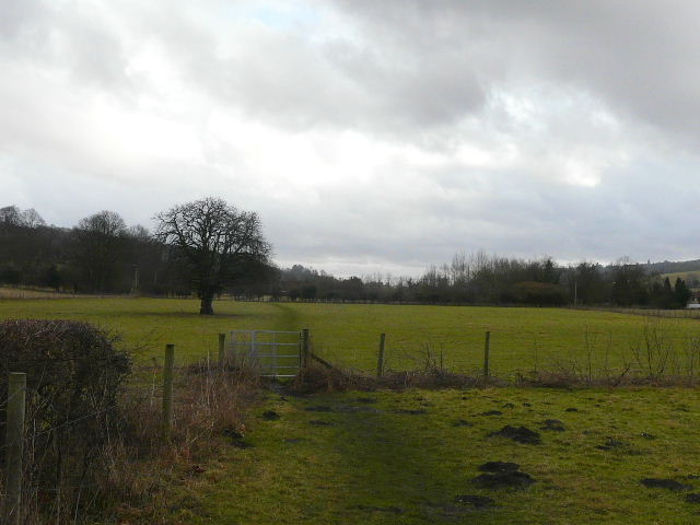
Approaching Hambleden - the path goes almost half-right beyond the kissing-gate
Despite the wet (and very muddy) conditions, I enjoyed this walk very much. It included some of the most attractive bits of the whole Chiltern Way, a few paths that were new to me and some that I'd only walked once before. There was a nice mixture of fields and woods, several ups and downs, and a few pretty hamlets and villages, several with typical Chiltern cottages of brick and flint. There were Red Kites almost everywhere, which are always a joy to see and greatly add to the pleasure I get from a walk.
I'd certainly like to come back and do this walk again on a nicer and sunnier day, but then I might extend it slightly and include a short section to the west of the Hambleden valley. The walk today took me 5 hours and 25 minutes, which was very slow for 12.7 miles. In less muddy conditions, I'd probably want to walk a little further.