Pete's Walks - Hambleden, Stonor, Frieth (page 1 of 4)
If you are considering walking this route yourself, please see my disclaimer. You may also like to see these notes about the maps and GPX files.
Google map of the walkDownload GPX file of the walk
NOTE: You now have to pay to use the car park in Hambleden. I usually manage to park along the village street to the west of the church (looking at the church from the village centre, take the street on the left and follow it round to the right).
UPDATE 21/01/11 I have now done this walk in the opposite (anti-clockwise) direction, and think that the walk is better that way round because of the good views as you approach the villages of Fingest, Turville and Stonor (though there is a longish and steep hill out of Stonor). For a description of the walk in that direction see here.
I did this 11.7 mile circular walk on Saturday, 6th March 2010. This walk started at Hambleden, the same as my previous walk a week ago, but this time I would be exploring the area to the north-west of the village rather than the north-east. About half the walk would be new to me, with a very pleasant section of the Chiltern Way making up the remainder.
I took a different way out of Hambleden today. From the car park (grid reference SU 785866) I followed the short street back to the village square and went half-left, going south-west through the attractive cottages to the minor road that runs through the Hambleden valley. On the other side I took a rising path through the trees of Ridge Wood, then descended to meet a bridleway running along the southern edge of the wood. Turning right here, I was now briefly on the route of my Chiltern Chain Walk, but after turning right at a bridleway junction by a cottage I left it at a second junction a few yards further on, where I turned left and headed uphill again to reach part of Great Wood.
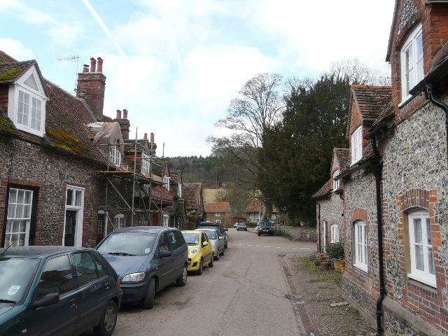
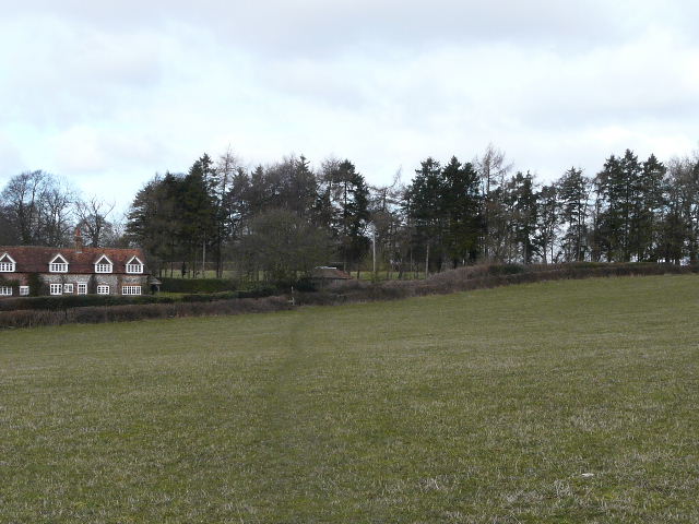
Hambleden
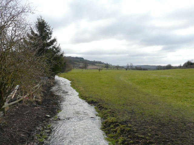
The Hamble Brook on the edge of the village, flowing towards the Thames about a mile away
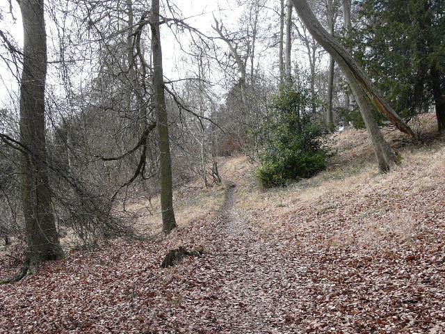
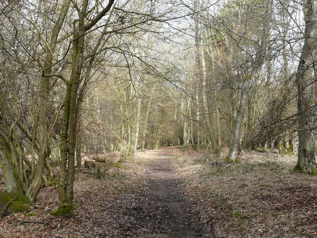
Path through Ridge Wood
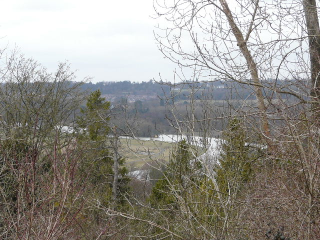
The river Thames from Round Wood
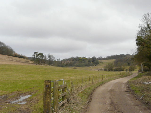
This is the way I usually go, towards Great Wood ...
... but today I turned left and followed this bridleway instead
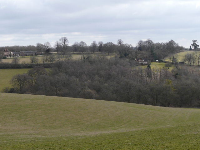
It was a very pleasant mile-long section through Great Wood, over Pallbach Hill and then Red Hill. I heard a Buzzard at one point, and saw it land on top of a nearby tree (just too far off and a little obscured for a photo, unfortunately). Beyond the large wood, the path continued on a good track to Roundhouse Farm, with good views over the valley on the left.
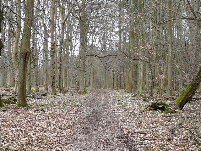
Path through Great Wood
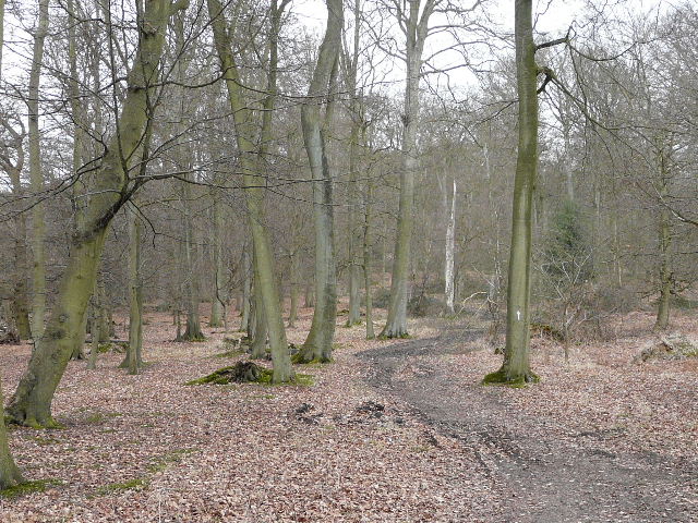
Path through Great Wood
Path through Great Wood

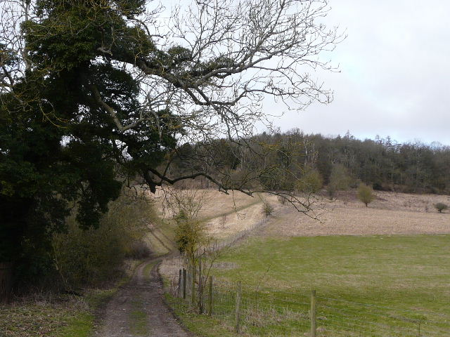
Path just beyond Great Wood, heading towards Roundhouse Farm
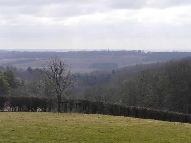
View southwest, from the path to Roundhouse Farm
At Roundhouse Farm I turned right down a lane for a quarter of a mile or so, then continuing on a footpath where the lane bent right. The path descended quite steeply into a small valley, rising more gently up the other side beside a line of telephone poles. There were several Red Kites nearby as I made my way through this large empty pasture, and I saw some Speedwell here (just about my first wildflower of the year). A track led on to Bosmore Farm, beyond which I followed the farm drive to the right for a couple of hundred yards. I then took a footpath on the left, initially through a young plantation of Fir trees and then across a ploughed field and a small empty pasture to reach a lane by some cottages (this place isn't named on the map, the nearest identifiable building being Coxlease Farm).

The path to Bosmore Farm
Looking back, from just before Bosmore Farm
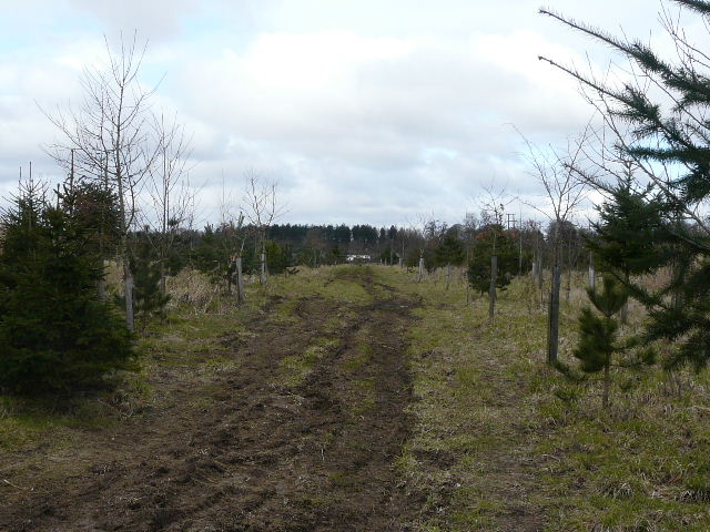
Path through the young plantation, just after Bosmore Farm
Approaching the lane near Coxlease Farm