Pete's Walks - Kensworth to Toddington (part 1)
If you are considering walking this route yourself, please see my disclaimer. You may also like to see these notes about the maps and GPX files.
I did this walk on Tuesday 7th April 2009. It was a walk I'd wanted to do for some time - Toddington is about 10 miles from my home in Kensworth, and to walk there and back seemed a reasonable challenge. I have got accustomed to walking 12-15 miles, and a 20-mile walk would get me out of my 'comfort zone'. The route was quite straightforward - once I'd reached Dunstable Downs, just a couple of miles from Kensworth, the rest of the way was along part of the 'northern alternative' of the Icknield Way, which I'd walked before on Day 8 of my Berks-Essex Walk.
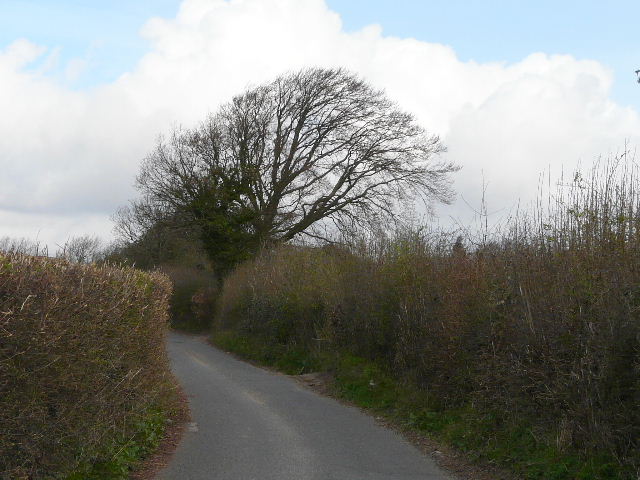
Isle of Wight Lane, Kensworth
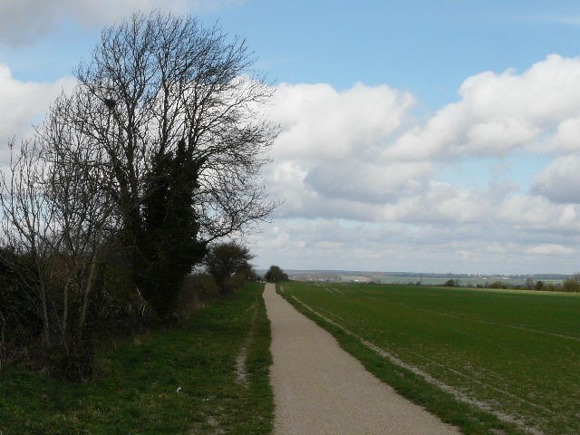
There were a lot of dark grey clouds about as I set off about 9.50am, but there were a few small patches of blue sky too and fortunately the forecast for a dry day proved accurate. I walked up Common Road, Kensworth, in a northerly direction, until the road narrowed and became Isle of Wight Lane (no, sorry, I don't know the reason for the name, though there is also an Isle of Wight farm at the southern end of the lane). On my way back I noticed some Wood Anemones growing near the start of the lane. The quickest route to Dunstable Downs would be to simply follow the lane there but, rather than walk on tarmac all the way there, I turned right immediately before the isolated Downs House. In a couple of hundred yards the path ended at a junction with the long path round Kensworth Quarry, where I turned left. The path soon switched to the left of a long narrow belt of trees, and then crossed the drive to the quarry. A short distance further on, I turned left through some trees, and then turned left again along a footpath beside Dunstable Downs Golf Course.
The quarry path, Kensworth
Path beside Dunstable Downs Golf Course
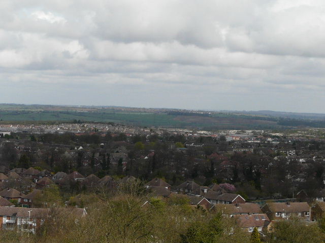
I crossed the main road that runs over the Downs, and walked through the old car park (the old visitor centre was here, before the Chiltern Gateway Centre was opened a couple of years ago). I walked right, along the top of the Downs, parallel to the road, with good views over the Vale of Aylesbury on my left (it was still fairly grey, so the views weren't at their best).
Dunstable Downs
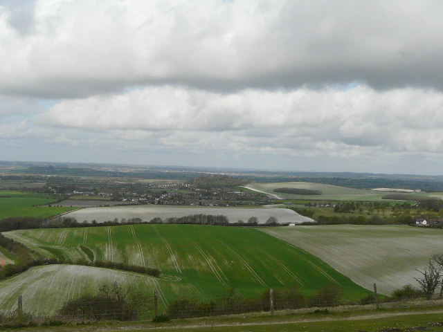
View over Totternhoe and the Vale of Aylesbury from Dunstable Downs
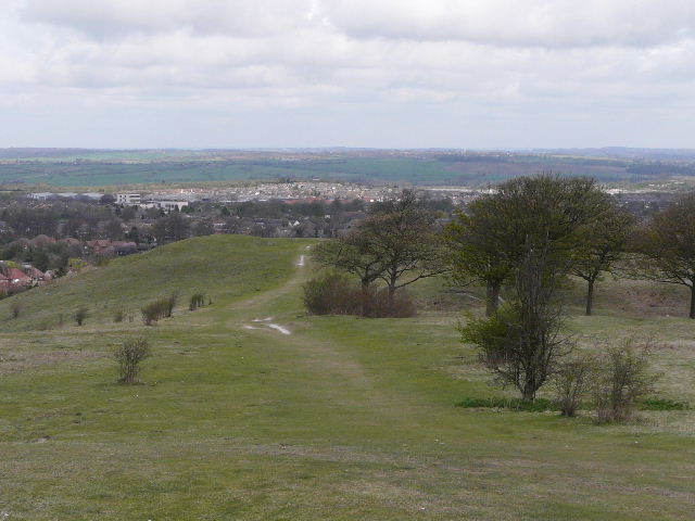
As I approached the Five Knolls ancient burial site, there was a view ahead over Dunstable towards my destination of Toddington.
Approaching Five Knolls on Dunstable Downs
View over Dunstable towards Toddington from the end of Dunstable Downs
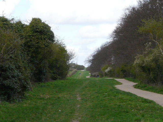
I descended the steep grassy slope to reach the roundabout at the end of West Street, Dunstable, and continued on down Green Lane. This is an old drove road, literally a green lane between hedgerows, but has been marred recently by the introduction of a gravel cycle path which I think is a bit of an eyesore.
Green Lane, Dunstable
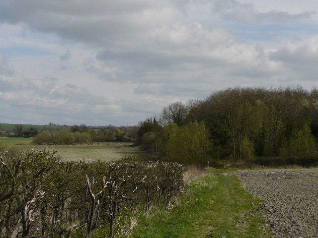
The green lane soon left the environs of Dunstable, and I turned right at a crossroads of paths. This part of the walk was very familiar, being my usual route when I walk to Totternhoe, as well as being part of both the Icknield Way and the Chiltern Way. The new gravel path continued this way, but there was still a grass section on the left that I could walk on. The path turned left, passing close to an iron-age hillfort called Maiden Bower, and then went downhill. At the bottom of the slope I turned right, passing under an old railway line (the disused railway is now a cycle route) and continued on along the lane through the hamlet of Sewell.
The path to Sewell
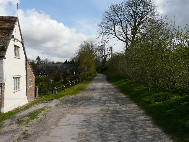
Sewell
A path on the left ran between fences next to a large garden, turning right and leading to a stile into a large paddock. Across that, I went over another stile and turned left, the path running amongst bushes beside the paddock. The path soon emerged onto the edge of an arable field where I turned right and continued alongside the hedgerow. After a few hundred yards, I came to the steep embankment carrying the A5 north from Dunstable. I turned right alongside it for a hundred yards or so, then went up a very steep flight of steps to reach the road. Safely across, I went right for a short distance into the hamlet of Chalk Hill, descended the far side of the embankment, and continued on another footpath that soon took me back into the countryside.
Path beside the paddock, Sewell
Path from Sewell towards the A5 embankment at Chalk Hill
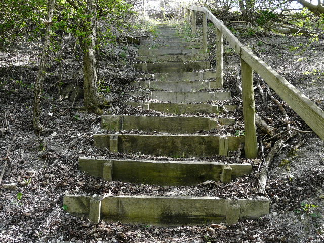
Steep steps up the A5 embankment at Chalk Hill (as always, they are steeper than this looks). The photo was taken about two thirds the way up.
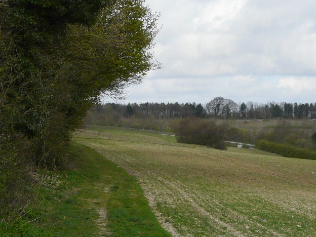
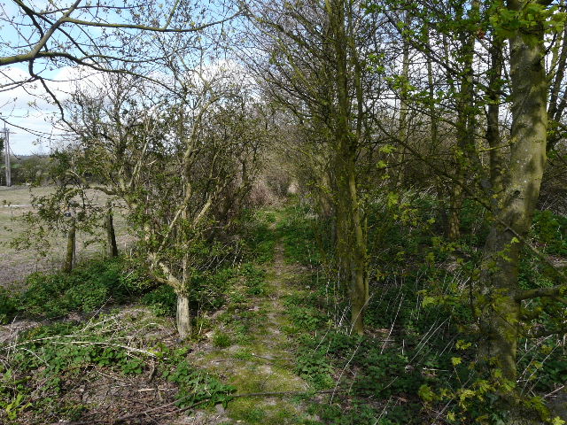
There were nice views northwards, when there were gaps in the hedge, while a short distance to my right was an old chalk quarry. I soon passed Houghton Regis waterworks, the village being a short distance up the hill to my right. At the end of a long chalky ploughed field, the path entered a small area of trees - as always, this was the muddiest part of the whole route.
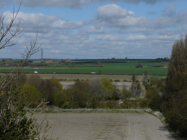
Looking north, from just past Chalk Hill
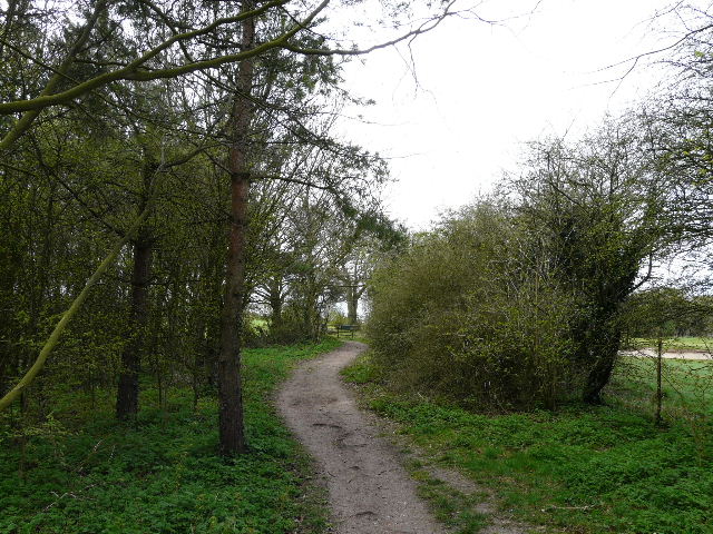
Path from Chalk Hill towards Bidwell
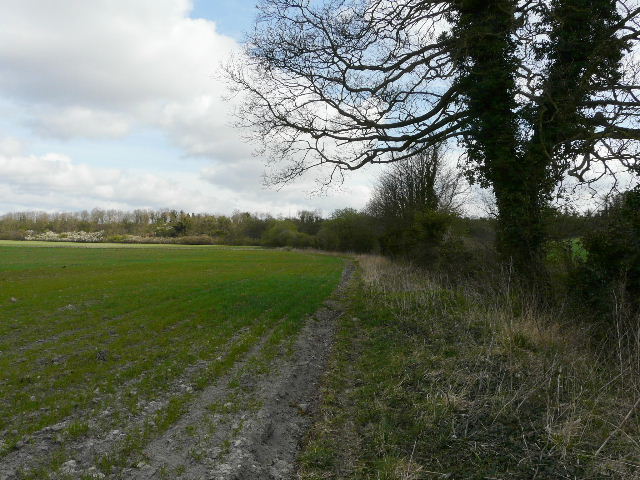
Beyond the trees, near the hamlet of Bidwell, I turned left on a path across a large arable field that had the green shoots of a crop just emerging. Annoyingly, the path had not been reinstated (a recurring problem on this walk, as I would discover), so I just made a bee-line for a waymark on a post. Again there was no sign of a path in the next similar but much larger field - instead of making my own route, I followed farm tracks that went half-right and then half-left to take me to roughly where I wanted to be on the far side of the field. In the next arable field, there was a narrow headland that formed the path most of the way across.