Pete's Walks - The Chiltern Way (2)
About the Chiltern Way
The Chiltern Way is a long-distance path that follows a circular route through the Chiltern Hills of southern England, passing through the counties of Bedfordshire, Hertfordshire, Buckinghamshire and Oxfordshire. It was created in the year 2000 by The Chiltern Society as its Millennium project. The original route of the Chiltern Way was 133 miles long, but in 2003 Northern and Southern extensions were added to bring the total distance up to 172 miles. Each extension leaves the original route at one point and rejoins it later, thus omitting part of the original route – if these omitted sections are also walked, the total distance is 192 miles.
The Chiltern Way can be walked in either the clockwise or the anti-clockwise direction (it is always sign-posted both ways). The Chiltern Society deliberately decided that there would be no official start or finish point, so that walkers may start at whichever point on the route they choose (the guide book starts and finishes at Hemel Hempstead railway station, as this is the nearest mainline station to the route).
The route is covered by the OS Explorer maps 171, 172, 181, 182 and 193. Some, if not all, of these maps have been recently republished (in 2006) and I believe they now show the route of the Chiltern Way. It was not marked on the older versions of the map that I used on my walk.
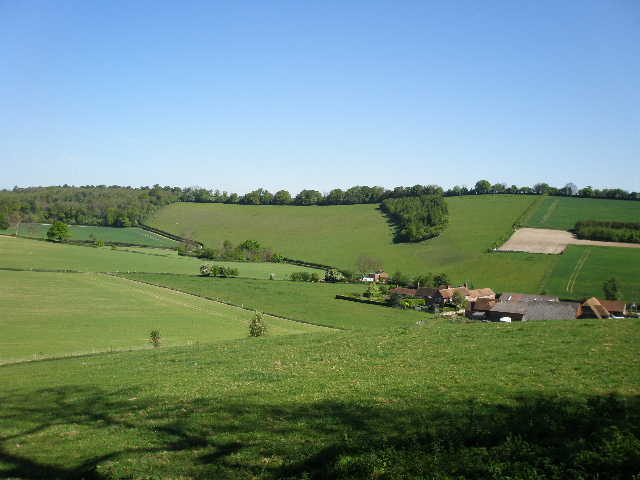
Bix Bottom, Day 17
There is an excellent guide book for the Chiltern Way – “The Chiltern Way and Chiltern Way Extensions” by Nick Moon, ISBN 978-0-904148-49-7 (this number is for the 2023 version, which incorporates the many changes to the route since I walked it in 2007, including temporary changes necessitated by HS2 - the changes to the route are also shown on the Chiltern Society's website). Having walked a dozen or so long-distance paths in the last couple of years, I have to say that this is easily the best guide book I have come across. The descriptions of the route are very good, with hand-drawn maps covering the entire walk – there were only two or three places throughout the entire 192 miles that I walked where I thought the description could have been a bit clearer. There is a lot of historical information provided about the places and buildings that the Chiltern Way passes (most of the information I give in this journal is taken from this source). From my point of view, the big plus with this guide book is that Nick Moon has divided the walk into a very large number of very short sections, from 0.3 miles up to 3.0 miles in length, each section having its own detailed route description and information on possible parking places. There is a table at the front of the book listing all the sections and their lengths. This makes it relatively easy for people to divide the Chiltern Way into chunks that are the sort of distance they like to walk (7.5 miles in my case). If only all guide books were this helpful!
Click here to see a very rough map of the Chiltern Way (but only if you have already read my disclaimer and notes regarding maps).
Note: I have numbered each photograph (in red) and inserted the same number in the text to show where in the walk the photo was taken.
Note: In 2010, a few years after I did this walk, the Chiltern Society celebrated the 10th anniversary of the Chiltern Way by opening a further extension to it, through the part of the Chiltern Hills Area Of Outstanding Natural Beauty that lies in Berkshire. Click here to read about my subsequent walk on the 'Berkshire Loop'.