Pete's Walks- West Wycombe, Fingest and Horsleys Green (page 1 of 7)
If you are considering walking this route yourself, please see my disclaimer. You may also like to see these notes about the maps and GPX files.
Google map of the walkDownload GPX file of the walk
PLEASE NOTE: The very large car park in West Wycombe used to be free. When I came here on 15th January 2022 I found it is now a pay and display car park, only free if you stay less than one hour and costing £4 if you stay more than 2 hours. I think you have to pay by credit card, I don't think the machine takes cash.
I did this circular walk of about 14.1 miles on Saturday, 21st January 2017. When I set out, it was meant to be a repeat of a walk I last did in December 2012 (Walk 14 of my Chiltern Chain Walk, going clockwise) but as I did the walk I decided to make three slight variations and try some paths I'd never walked before.
I parked in the car park in West Wycombe (grid reference SU 826947) - it's now named the Hell Fire Caves car park, I think it used to be called the 'village' car park. Starting walking about 10.05am, I turned right from the entrance to the car park, and then went right again to follow the A40 out of the village. After two or three hundred yards I turned left and followed Toweridge Lane steadily uphill to the hamlet of Towerage. Here I stayed with the lane as it turned left, and soon passed an equestrian statue in the grounds of West Wycombe Park.
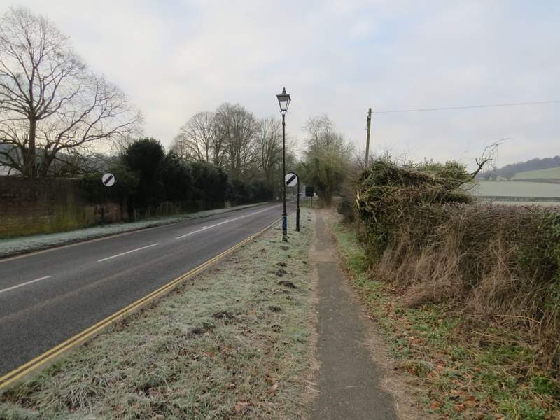
The A40 heading southwest out of West Wycombe
Toweridge Lane
View back from where Toweridge Lane reaches the trees
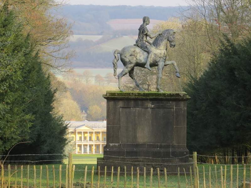
Equestrian statue in the grounds of West Wycombe Park, seen from Toweridge Lane after it turns left through Towerage
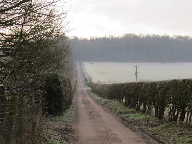
Previously I have always then turned right on a footpath leading to Hellbottom Wood, but today I continued along Toweridge Lane, which was now a track rather than a tarmac lane. The track soon turned right and passed a house called Druid's Hutt on the left. Beyond this house, Toweridge Lane turns left as a footpath, but I stayed on the track which was now a bridleway, running between high hedges either side. The track soon started to descend, and at a couple of places I got a view of West Wycombe's football ground, Adams Park, down in the valley to my left. After a while I had Hellbottom Wood on my right. When I reached the corner of the wood, when it turned right, I could clearly see where the bridleway continued, following tractor tracks going half-right across part of a very large arable field.
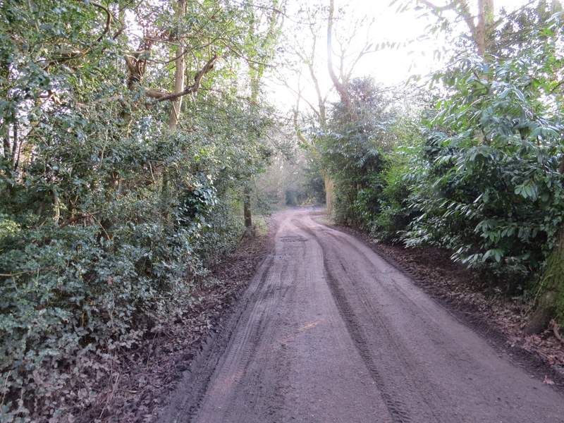
Toweridge Lane in Towerage
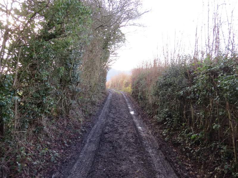
The bridleway that continues south from Towerage Lane
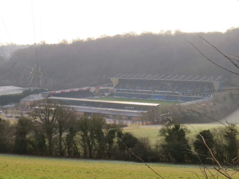
Adams Park, home of Wycombe Wanderers - later in the day they would be playing here against my local team Luton Town (it ended 1-1).
The bridleway going south from Toweridge Lane
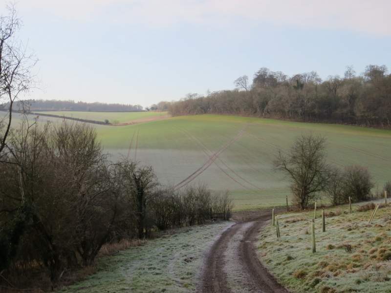
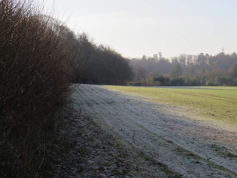
The bridleway going south from Toweridge Lane - it continues along the tractor tracks going diagonally across the field
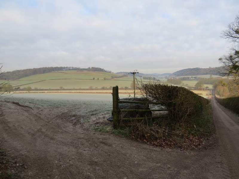
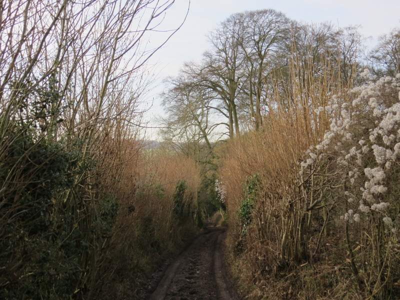
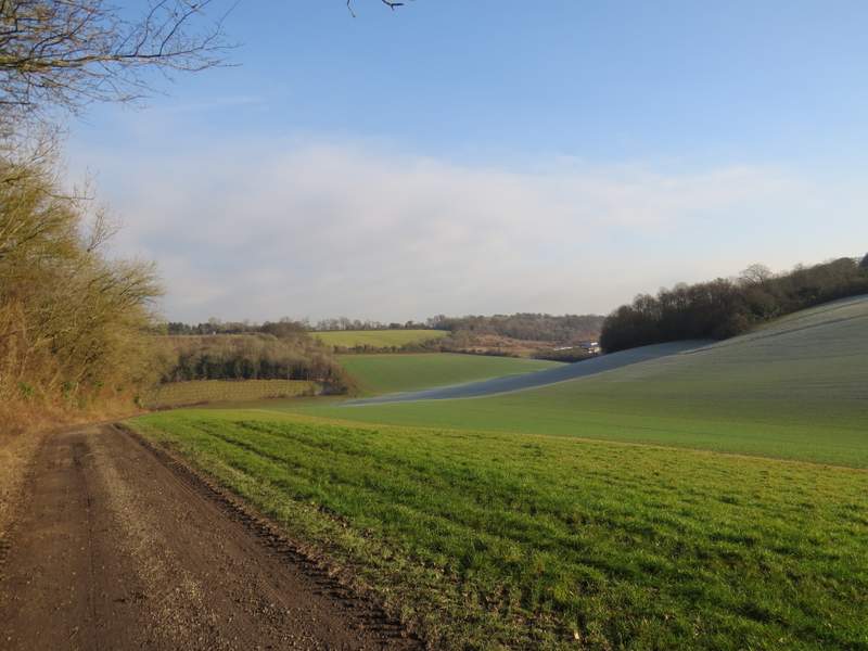
On reaching the far side of the field, I turned left along another farm track beside another part of Hellbottom Wood. As I passed the end of the wood I rejoined the route I'd originally planned to take. The track led gently uphill to reach Fryer's Farm, where it turned left but I went straight on along a footpath. This followed the right edge of a paddock, and where this boundary turned right the path also turned right to reach a stile in the opposite hedgerow. Over the stile the path went left, alongside the hedge and then beside Sandage Wood.
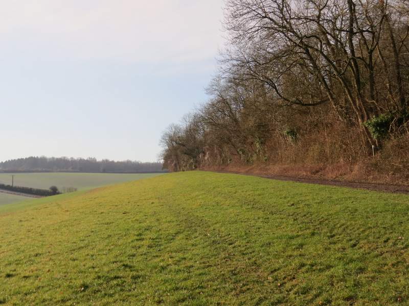
This is where the bridleway reaches the far side of the field seen in the previous photo - it continues left along the farm track beside the wood to reach Fryers Farm
Looking back from the bridleway as it passes the wood (Adams Park is hidden by the trees on the right
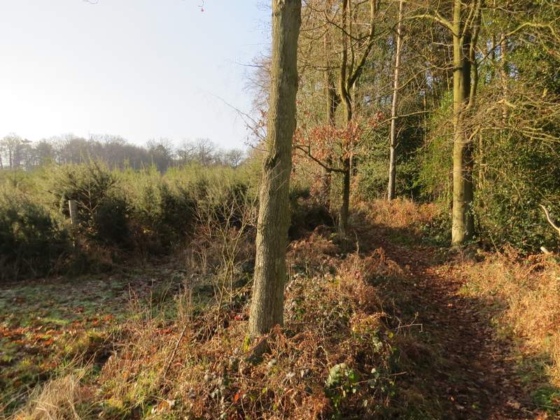
The start of the path from Fryers Farm - it follows the fence on the left, turning right where the fence does
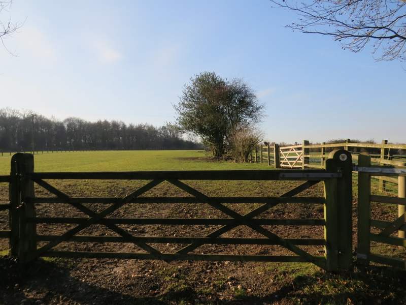
On reaching a road, I turned right and almost immediately crossed a bridge over the M40. A footpath then started a few yards left along a drive (road signs pointed to a 'Shooting Area'), the path running through part of Widdenton Park Wood. There was initially an area of gorse and young conifers on my left (this area was cleared a few years ago, between the first and second times I walked this path I think), then the path turned right through an area of mainly oak trees.
The path approaching the edge of Sandage Wood - this shows how cold and frosty it was this morning
Near the start of the path through Widdenton Park Wood
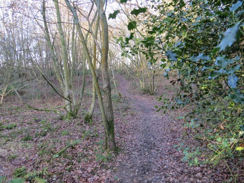
Widdenton Park Wood