Pete's Walks - Maidensgrove and Turville Heath (page 1 of 4)
If you are considering walking this route yourself, please see my disclaimer. You may also like to see these notes about the maps and GPX files.
Google map of the walkDownload GPX file of the walk
I did this walk of about 8.9 miles on Saturday, 16th December, 2017. I had intended to do a variation on my Maidensgrove, Ibstone, Middle Assendon walk, shortening it by going straight back to Maidensgrove from Stonor, but when I got caught in an unexpected snow shower I decided to shorten the walk even further. As a result I walked a path I'd never walked before, and was rewarded with a fine view towards Fingest and the start of the Hambleden valley.
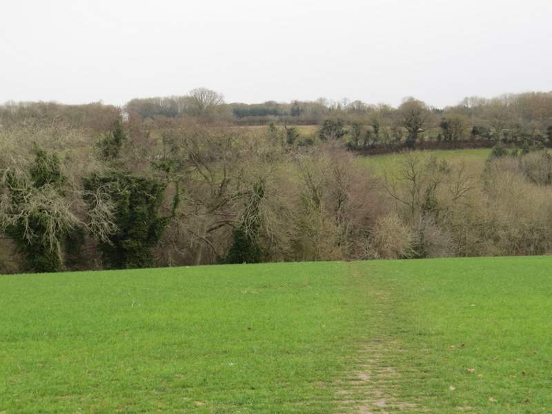
I parked on Maidensgrove Common where the lane crosses it (grid reference SU 717886), and started by following the lane into Maidensgrove (so the largest part of the common was to my left). Where a lane came in on the right, I took a private road or drive on the left, immediately passing a pond in a corner of the common on my left. At the end of the drive a footpath continued a few yards into Pishillbury Wood to reach a bridleway, where I turned left. The bridleway continued through the wood, and after a few hundred yards dropped quite steeply downhill. It left the wood near the bottom of the slope, continuing beside a hedgerow on my right and soon rising up the other side of the valley. It then joined a drive and then a lane to reach Pishill Church.
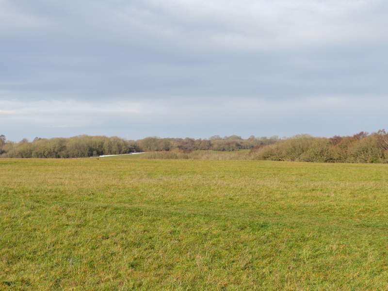
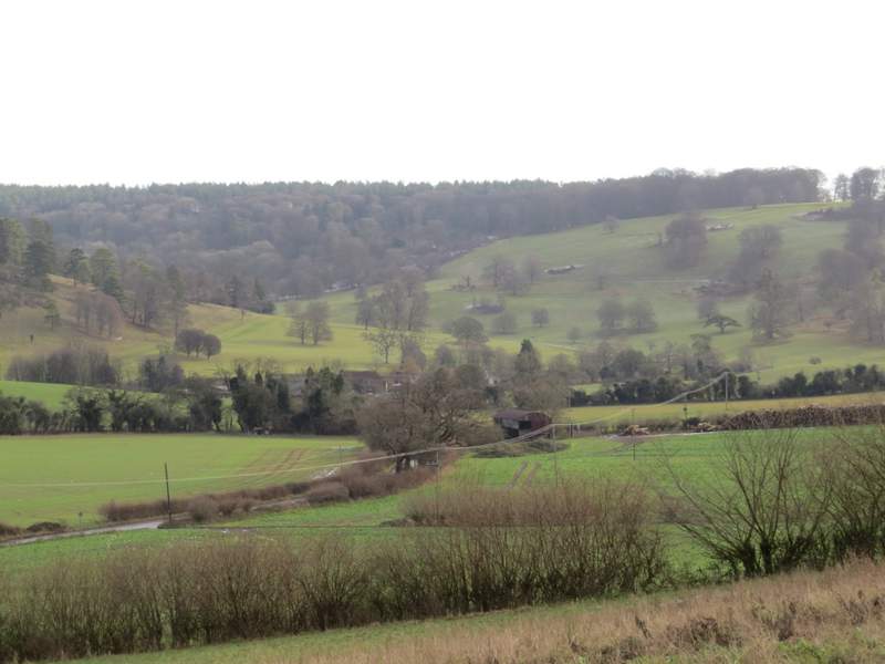
Maidensgrove Common
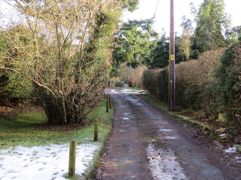
The private road or drive at Maidensgrove
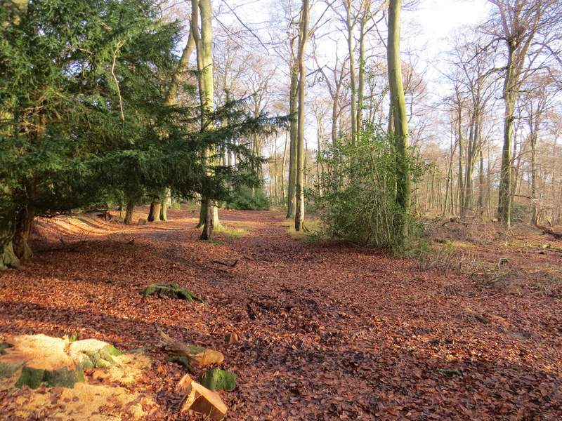
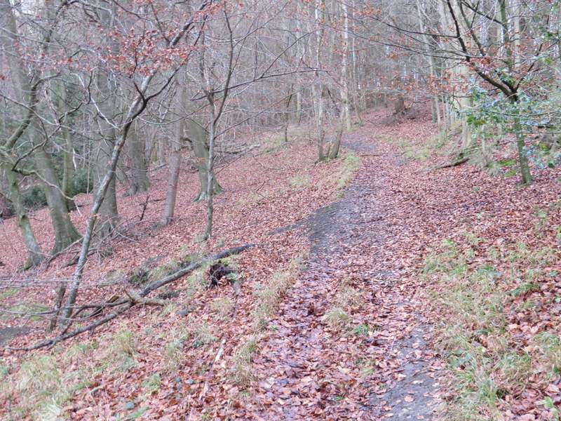
The bridleway through Pishillbury Wood
The bridleway through Pishillbury Wood
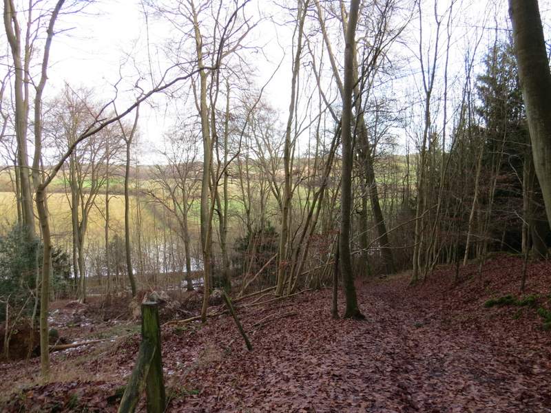
The bridleway through Pishillbury Wood
The bridleway continuing from Pishillbury Wood, heading to Pishill
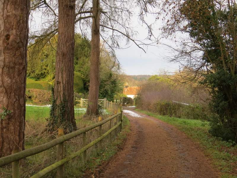
Approaching Pishill church
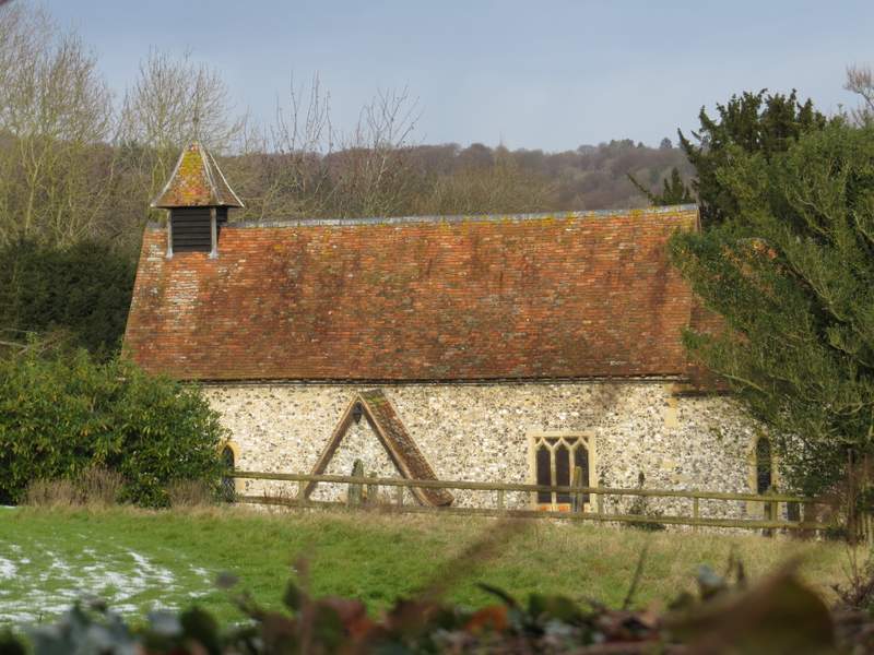
Pishill church
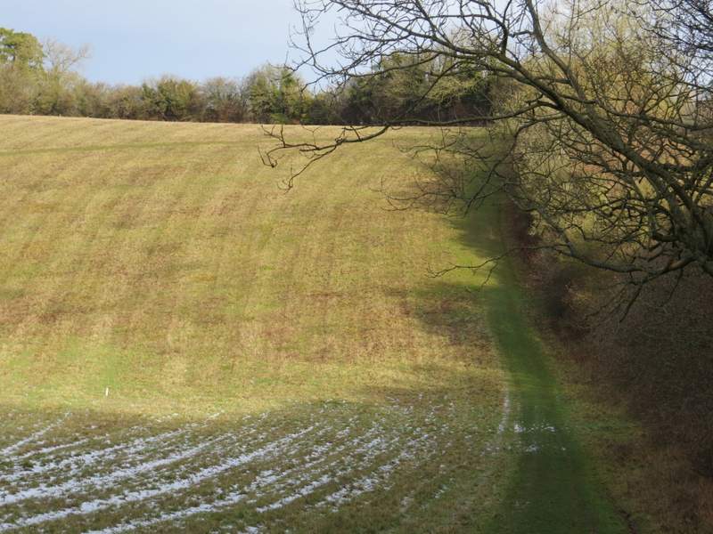
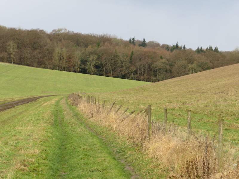
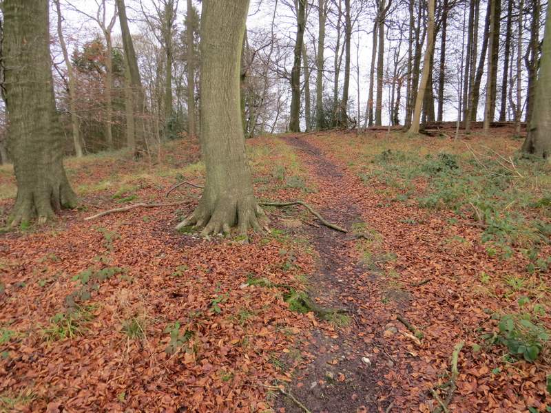
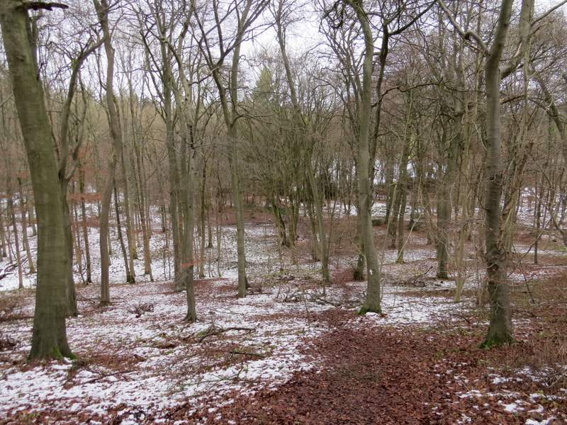
I continued to the end of the lane, then turned right along a minor road. Where this soon turned right, I took a footpath going left. This was soon following a fence line along the bottom of a valley, and after a few hundred yards reached College Wood. Almost as soon as the path entered the wood, it turned half right to gradually rise up that side of the valley. Towards the top of the slope, the path turned right and steepened for a few yards, before turning left, now close to the edge of the wood over to my right. Eventually I came to a path junction and a stile at the edge of the wood.
View towards Stonor deer park from Pishill church
The path to College Wood
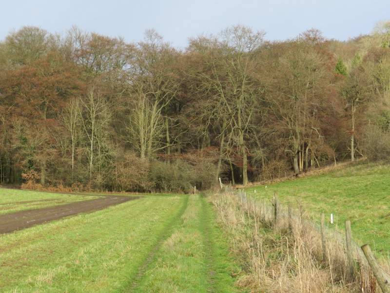
Approaching College Wood
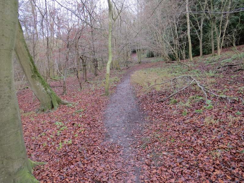
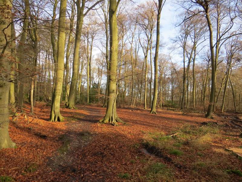
The path through College Wood
The path through College Wood
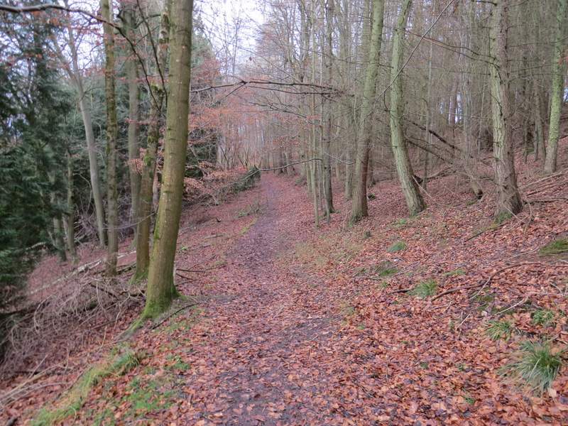
The path through College Wood
The path through College Wood
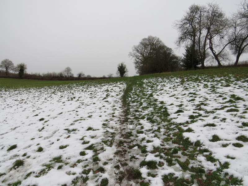
I crossed the stile and followed a path across a meadow (still with a lot of snow from last weekend - we had had 4-6 inches of snow in Kensworth) to reach a track named Hollandridge Lane. There was a slight snowfall here, and the skies were entirely grey - I was rather concerned as this hadn't been forecast, and it looked like it could last some time. Annoyingly I couldn't get a signal on my phone to check the forecast, so I decided it would be sensible to not go too far from Maidensgrove in case the snow got worse. So after crossing Hollandridge Lane, and following a path that soon turned slightly left to descend quite steeply through an arable field to reach Fire Wood, I turned right when I reached a crossing bridleway, instead of going straight on as I'd originally planned.
The path from College Wood to Hollandridge Lane
The path between Hollandridge Lane and Fire Wood
The path in Fire Wood, descending to meet the bridleway