Pete's Walks - Woburn to Ampthill and back
I did this walk on Thursday, 2nd April 2009. A few years previously, I had walked the Greensand Ridge Walk across Bedfordshire. The ‘guide book’ for this long-distance path consists of five leaflets, one for each of five sections of the walk. As usual, I walked each section there and back, doubling the distance. The second section is 10 miles long, and rather than walk this both ways in one go, I chose to split it into two walks of five miles each way. I felt a bit of a ‘wimp’ chickening out of a 20 mile walk, and have long wanted to go back and walk the full 10 mile section both ways. That is what I finally did on this walk.
It was definitely a day of two halves. I was disappointed that it was grey and misty as I set off from Woburn about 9.45am - I couldn’t even see Woburn Abbey as I walked past through its park. It was also cold, and I had to put my lightweight waterproof jacket on over my warm shirt. The sun eventually started to break through the clouds about 1pm, and from 2pm on it was a beautiful sunny afternoon (so most of the photos were taken as I returned to Woburn).
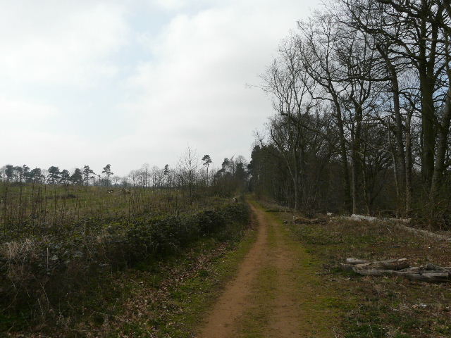
Beyond the park and estate around Woburn Abbey, I passed through Church End, one of the thirteen ‘ends’ or hamlets that make up the village of Eversholt. I then followed a long and pleasant bridleway, a ‘green lane’ between hedges either side. I reached the M1 (where I had split the walk when I did the Greensand Ridge Walk) surprisingly quickly - I hadn’t stopped for any photos in the grey and gloomy conditions.
The mist had now lifted, but the low cloud remained. I passed on, going over the wooded Jackdaw Hill and continuing between a golf course and the Millbrook Proving Ground (where cars are tested out). I passed the church at Millbrook (like the one I’d seen at Eversholt, made out of the local Green Sandstone). A little further on I passed some paddocks, but was disappointed that there were no longer any Alpacas there (as well as on the Greensand Ridge Walk, I’d seen them here on the John Bunyan Trail which shares the same route between the M1 and Ampthill). It was then a fairly short distance through Ampthill Park - I turned round at the road on the far side about 12.25pm.
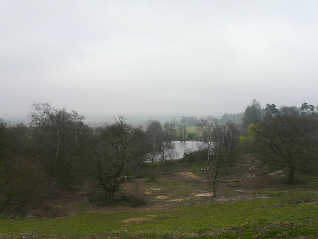
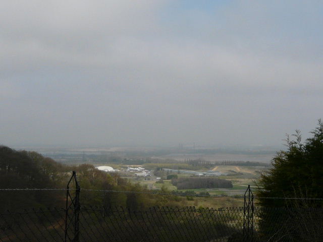
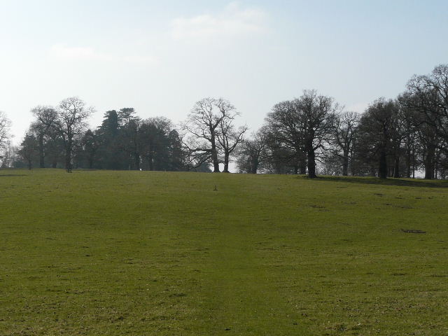
The grey conditions limited the normally expansive view north from Ampthill Park
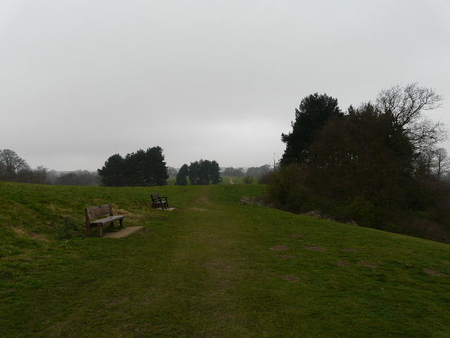
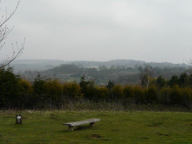
Ampthill Park
Another restricted view north from Ampthill Park
It was still grey and gloomy so the view north from Ampthill Park was disappointing. I stopped for lunch about 1.30pm by the Millbrook Proving Ground, when the sun was starting to make its presence felt. Shortly after Jackdaw Hill I had to take my jacket off, and from then on it was a glorious warm and sunny afternoon.
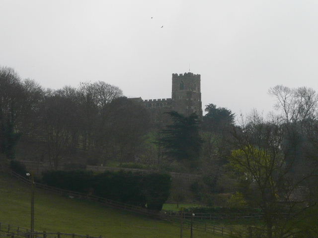
Millbrook church
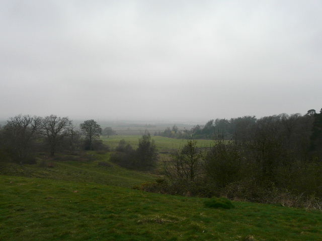
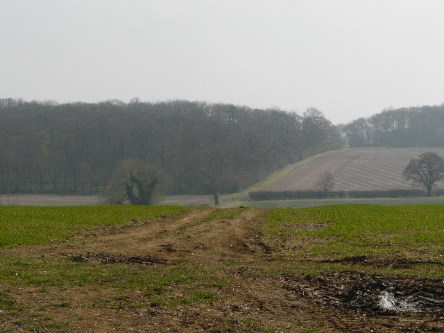
Looking out across the Millbrook Proving Ground towards Stewartby and the valley of the river Great Ouse
Looking back from Millbrook Proving Ground along the Greensand Ridge
Path along Jackdaw Hill - there is a very steep drop through the trees on the right
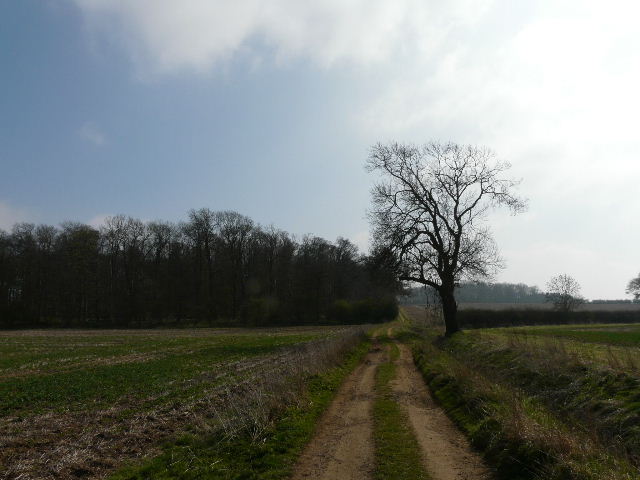
Looking back from the path to the M1 bridge, near Ridgmont
When I got back to the M1 I’d walked my usual distance of 15 miles, but still had 5 more to do. My legs felt a bit stiff and tired, but not too bad as I carried on back to Eversholt and on through the Woburn estate. As it was sunny now, I did stop for a few photos, or maybe they were an excuse to give my legs a break. I got back to the car about 4.05pm - allowing 10 minutes for my lunch stop, 6 hours and 10 minutes isn’t too bad for a 20 mile walk.
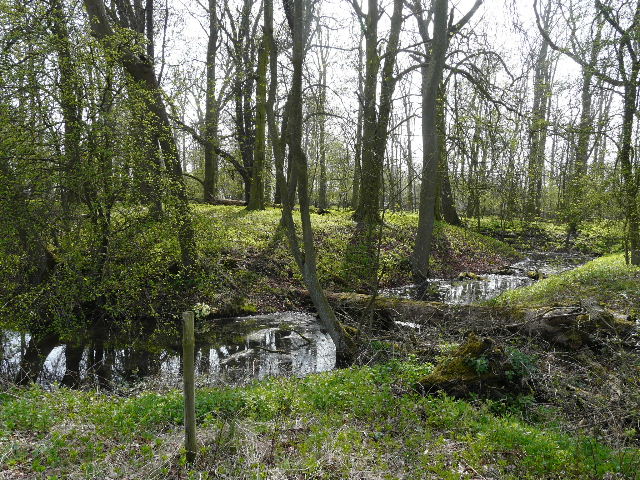
Moated site in wood near Segenhoe
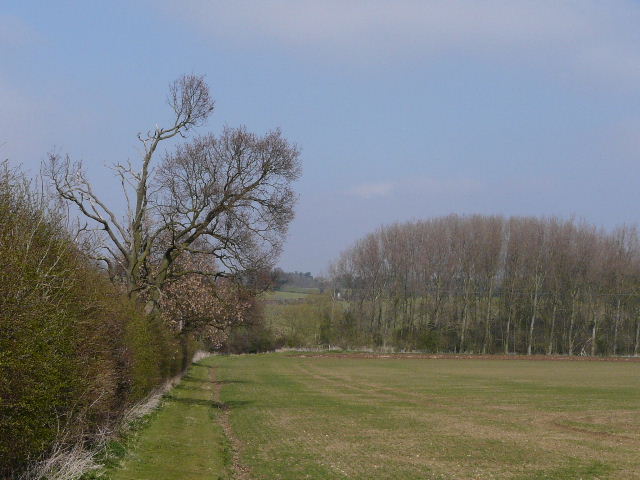
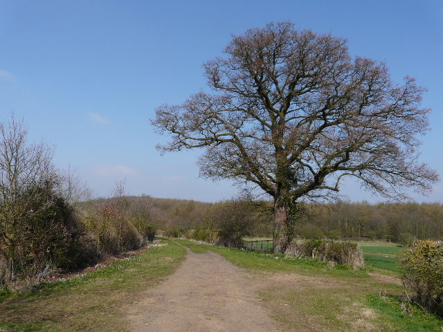
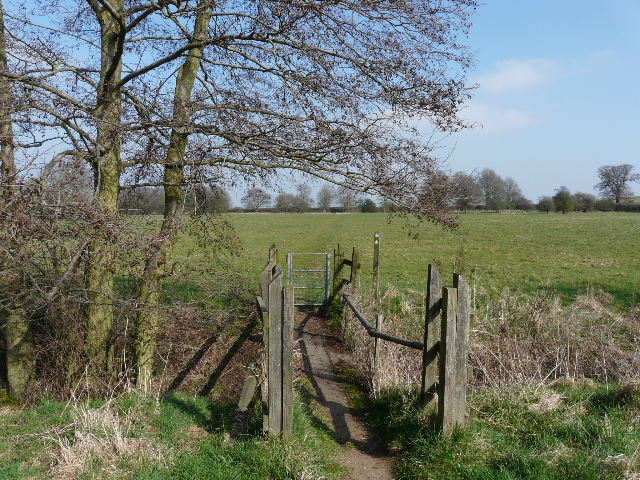
Heading back to Eversholt
Path back to Eversholt
Bridleway near New Water End, Eversholt
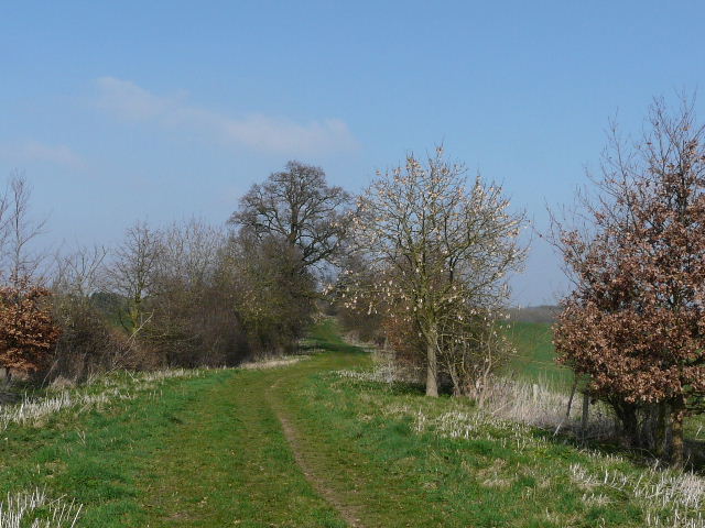
Bridleway near New Water End, Eversholt
Path through the estate around Woburn Abbey
Path through the parkland around Woburn Abbey