Pete's Walks - Marsworth canal walk (part 1)
I did this walk on Friday 24th April 2009. I've never been too keen on canal walks - all the ones I've done have seemed somewhat flat for some reason! :) But I must admit they are growing on me, and I decided to do one just for a change. I'm very glad I did, as in terms of nature sightings it was one of the best walks I've ever done. It was also a beautiful day weather-wise, warm but not hot, and sunny throughout, just about perfect for walking. The walk was about 9.3 miles long, starting and finishing at Marsworth (somewhere between Tring and Aylesbury, I was never quite sure whether I was in Herts or Bucks). Near Marsworth, two side-shoots branch off the Grand Union Canal, the Wendover Arm and the Aylesbury Arm (I'll leave you to guess where they go!), the two running almost parallel to each other. It was therefore quite easy for me to plan a roughly rectangular walk where three of the four sides were along canal towpaths. Starting at Marsworth in the north-eastern corner of the rectangle, the eastern edge of the rectangle was part of the Grand Union Canal, the long southern edge was part of the Wendover Arm of the Grand Union Canal, the western edge consisted of paths that were part of the Aylesbury Ring long-distance path, and the northern edge was part of the Aylesbury Arm of the Grand Union Canal, which took me back to Marsworth.
I started out from the car park at Marsworth about 10am. Almost straightaway I saw a Grey Heron just yards from me on the opposite bank of the Grand Union Canal. As I followed the towpath, for the first few hundred yards I had Marsworth Reservoir to my right - the first section of the reservoir looks unnatural and clearly man-made, whereas a bit further on a section was fringed with reeds and looked more like a natural lake. Marsworth is one of four reservoirs here, collectively known as the Tring reservoirs - they are not used for drinking water, rather their purpose is to supply water to the Grand Union Canal as this is the highest point on its course.
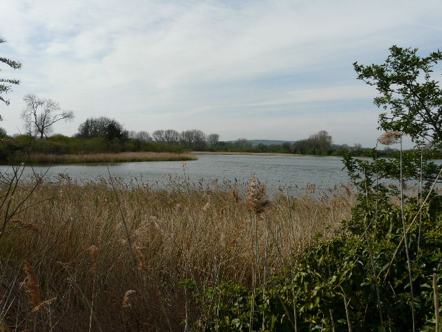
Marsworth reservoir, from the Grand Union Canal
I saw a number of Common Terns flying over the reservoir, and then I heard a warbler in the reeds on my right. I got a brief glimpse, and I'm fairly sure it was a Reed Warbler (rather than a Sedge Warbler). At one of the the first locks I came to I saw a Grey Wagtail, and finally managed to get some (very poor) photos of this charming grey and yellow bird - they used to be mainly restricted to mountain streams, but in recent years they seem to have become reasonably common by waterways all over the country.
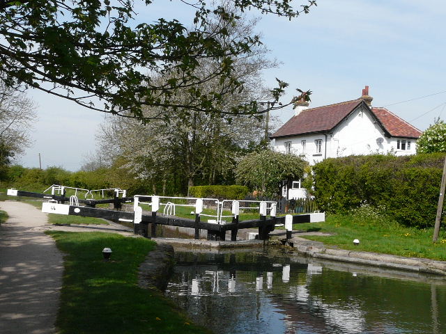
Looking back at a lock on the Grand Union Canal
After a mile or so, I reached the canal junction where the Wendover Arm of the Grand Union Canal branches off westwards. I had to go over a bridge over the start of the Wendover Arm, then turn sharp left and left again to go under the bridge, now with the canal on my right. The Wendover Arm is now only navigable for about the first 1.5 miles, there is then a disused and dry section for a few miles, and then the rest of the canal (to Wendover) holds water but is far too shallow for navigation. A keen action group is currently hard at work at restoring the canal.
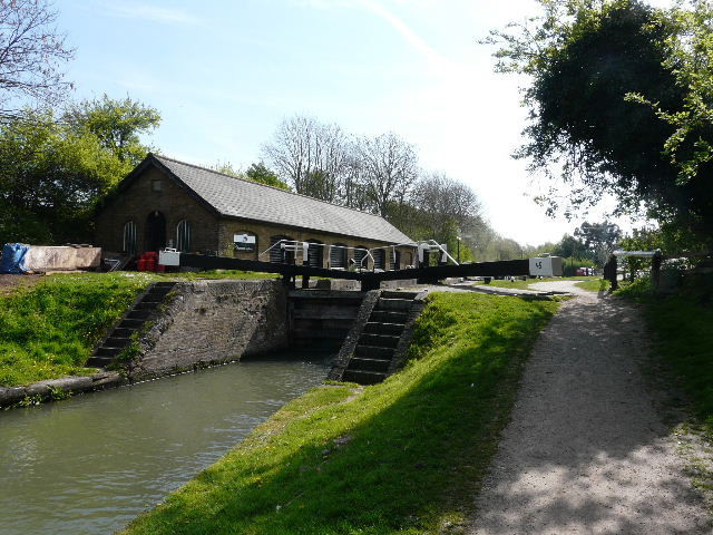
Lock near Marsworth just before the junction where the Wendover Arm goes right
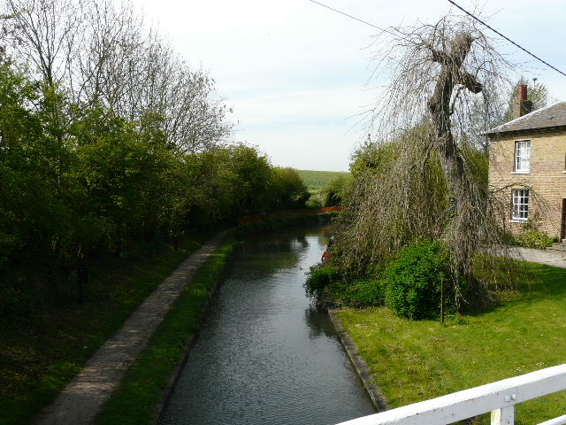
The start of the Wendover Arm of the Grand Union Canal
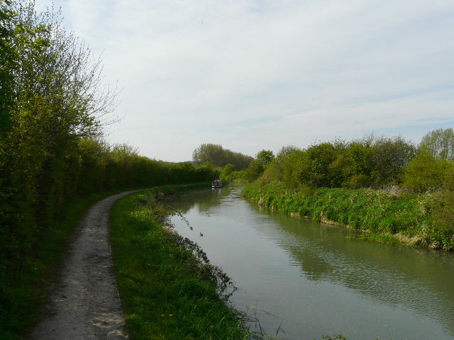
The Wendover Arm of the Grand Union Canal
The Wendover Arm passes Tring Wharf on the edge of Tring - there was obviously still a lot of activity at the warehouses beside the canal here, though they no longer make use of the canal. The towpath switches to the right (north) bank here, and within a few hundred yards the canal was back in open country again. There seemed to be a profusion of Dandelions here, as almost everywhere else on this walk, and I started to see Orange Tip butterflies, the butterfly I would see the most often today.
I knew from the map that the navigable part of the Wendover Arm would soon end. I came to a bridge, where a notice board about the restoration showed a path continuing alongside the canal all the way to Wendover, so I carried on along the towpath. In fact, after a quarter of mile the canal turned right and ended - a wire fence and warning notice blocked the way ahead. I followed the path on the other side of the canal back to the bridge - at least this little detour enabled me to see Swallows swooping down and drinking from the canal.
The Wendover Arm of the Grand Union Canal, just after Tring Wharf

The end of the navigable section of the Wendover Arm - I shouldn't have come this far, I needed to turn right at the previous bridge
I followed a lane north (right) from the bridge for about quarter of a mile (UPDATE 9/02/2016: there is now a short footpath to the right of the road, after a few cottages, which is obviously safer than walking on the road), then took a footpath on the left. Almost immediately this was back on the towpath on the northern side of the Wendover Arm, which was now just a muddy channel showing the tracks of many large vehicles, presumably those involved in restoring the canal. I soon came to a short stretch that I was familiar with, as I'd used it a few times when I'd been bird watching at Wilstone Reservoir, which was now a short distance to my right. There was clear evidence that the canal was being restored - I passed two impressive new wooden footbridges over the canal, and came across a section where it looked as if a new lock was being put in.
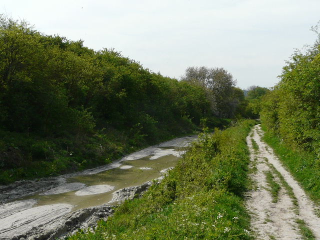
A dry section in the middle of the Wendover Arm

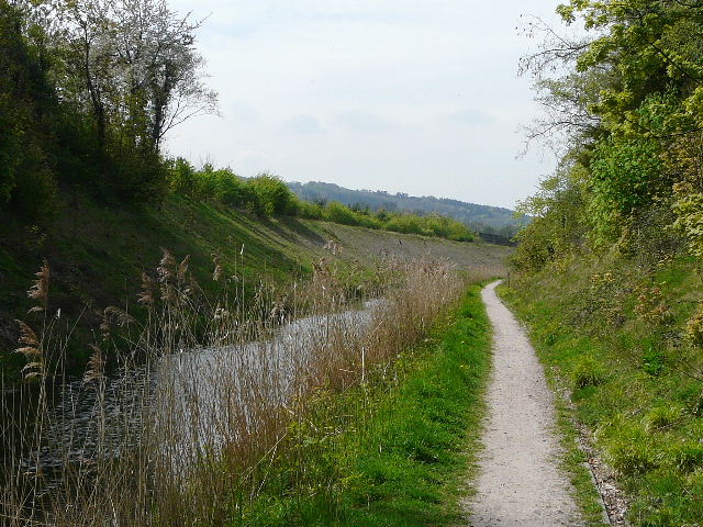
Wilstone Reservoir, from the Wendover Arm
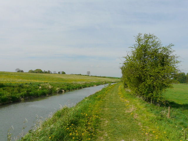
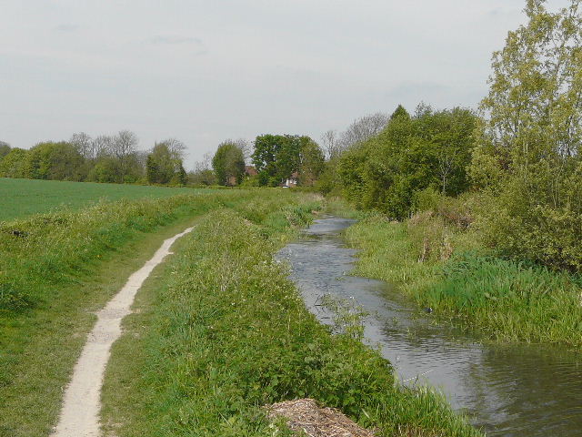
Near the village of Drayton Beauchamp the dry section of the canal ended. The water in the canal was far too shallow for boats, but this section of the canal is charming for walkers and great for wildlife - in fact the rest of the canal to Wendover is like a long thin wildlife corridor. I saw a bright yellow flower alongside the canal - the first Marsh Marigold I have discovered since I became interested in wildflowers. I also saw some Green Alkanet here, a garden escapee that is rapidly becoming naturalised.
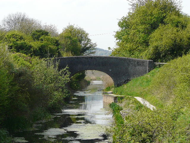
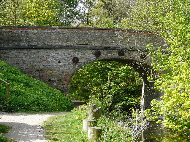
Bridge over the Wendover Arm, near Drayton Beauchamp
The Wendover Arm near Drayton Beauchamp - there where lots of Marsh Marigolds along this section
Further on I passed under a bridge carrying the new A41 dual carriageway that bypasses Aston Clinton. The bridge was built in 2003 and is called Saxon Way Bridge - a plaque says that the grave of a Saxon Princess was discovered nearby. Just past the bridge I spotted a family of Coots with their young. I soon had to cross a road, the original A41 before the bypass, before the towpath resumed now on the left of the canal, with the houses of Buckland Wharf on the opposite bank. Here I spotted some young Moorhens.
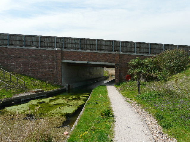
Bridge carrying the new (2003) A41 bypass around Aston Clinton over the Wendover Arm
Path near Buckland Wharf
The Wendover Arm of the Grand Union Canal near Buckland Wharf
A few hundred yards further on, I reached a road bridge where I left the canal and turned right, heading towards Aston Clinton. I was now following a section of the Aylesbury Ring, a local long-distance path that I walked a few years ago (in fact I had followed the rest of the canal to Wendover as part of that walk).
Bridge over the Wendover Arm at Aston Clinton, where I left the canal