Pete's Walks - Four Hills Walk (part 2)
I now decided that as I was going up Coombe Hill, Beacon Hill and Whiteleaf Hill, I might just as well include Pulpit Hill in the walk. I'd only been to the top of it once before, on a walk when I was researching possible routes for the Chiltern Chain Walk. So I left the Ridgeway at a kissing-gate near Chequers Knap and turned left to follow a bridleway running up the east side of Pulpit Hill. Looking at the footpaths on the map, there was no convenient route to the top of the hill, nor down the other side, but where a footpath came in on my left, a clear path continued to my right which soon took me to the top of the hill. There is an iron-age hill fort at the summit, though the banks and ditches are a little hard to spot. It is nowhere near as impressive as the one at Cholesbury Camp, a few miles away (see Walk 6 of the Chiltern Chain Walk).
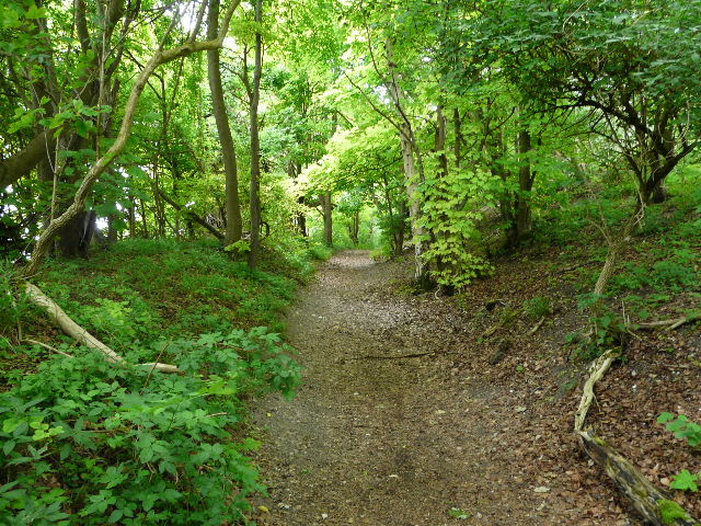
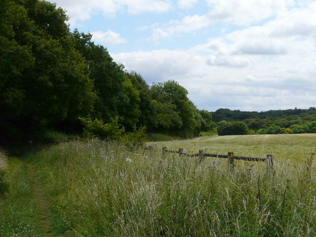
The bridleway going up the eastern side of Pulpit Hill

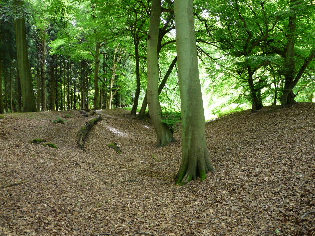
Path near the top of Pulpit Hill
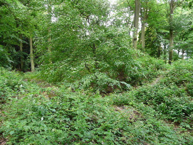
The bank and ditches around the iron-age hill fort on Pulpit Hill
The bank and ditches around the iron-age hill fort on Pulpit Hill
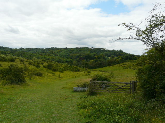
There was no convenient path shown on the map to take me down the western side of the hill, but I found a clear path heading along a bit of the hill jutting north (going right, from the path that led to the fort). But this then turned east, descending just as steeply as the path down Coombe Hill, again causing pain for my rather dodgy knees. At the foot of the steep slope I came out of the trees into an open area, and went a short distance left to rejoin the Ridgeway just a couple of hundred yards or so from where I'd left it near Chequers Knap. I'll have to come back this way, and see if there is a path down the western side of Pulpit Hill (there is one on the OS map, but it' goes quite a way south before heading back north). UPDATE: There is now a better alternative shown on my Google map.
The good thing about taking the path I did, was that at the foot of the slope I spotted a couple of huge snails. These were Roman Snails, also known as Edible Snails - they were introduced to Britain by the Romans and are the Escargot cooked and eaten by the French. I had seen plenty of their empty shells round here before, but had not previously seen the snails themselves. there was another one on the path as I made my way along the Ridgeway towards the hamlet of Cadsden.
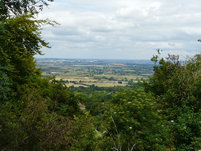
View out over the Vale of Aylesbury from Pulpit Hill

Near the bottom of the very steep descent from Pulpit Hill
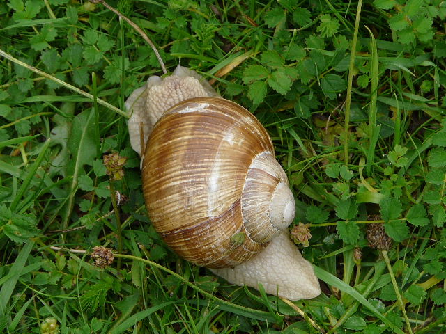
Roman Snail (also known as Edible Snail) on Pulpit Hill
The Ridgeway Path, approaching Cadsden and Whiteleaf Hill
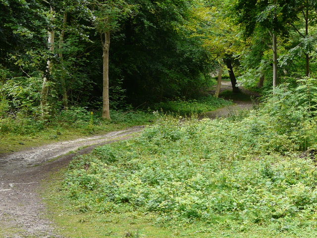
I continued along the Ridgeway, going straight on over a crossing bridleway and continuing through a nature reserve. The Ridgeway then went right, through a gate, following a garden hedge to a road. A few yards left along the road I forked right to reach The Plough at Cadsen. I turned right here, soon forking left through a gate and climbing the long steepi path to Whiteleaf Hill. I only stopped briefly to admire the views and take a couple of photos and then continued on my way. I followed the Ridgeway southwards on a new gravel track, but only for a short distance before turning left onto a bridleway (thus finally parting company with the Ridgeway). The bridleway ran just inside the edge of another beech wood, with a large field a few feet to my right. Initially the trees on my left were on a steep slope descending into a wooded valley. Where the field eventually ended, I turned right, the path through the trees again staying close to the field on my right. I soon came to a junction of paths on the edge of the wood, and turned left, on a bridleway between the wood on my left and another large arable field on my right. Again, at the end of the field I turned right, on another woodland path staying close to the edge of the field. The path then went through a garden to a road, where I turned left. After a few hundred yards I took a bridleway on the right. This ran between a wood and a field, and then turned left near the field corner. It continued through woods for about half a mile to reach a short drive in Parslow's Hillock. Here I turned left, then right for a few yards along a road to reach the Pink and Lily pub.
The path up Whiteleaf Hill

The Neolithic Barrow on Whiteleaf Hill.
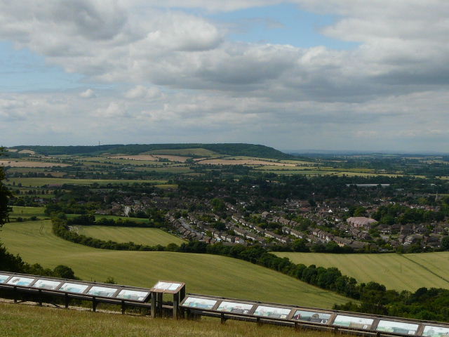
View from Whiteleaf Hill across Princes Risborough towards Bledlow Cop - note the long line of very informative notice boards that tell the long history of human activity here.
Path between Whiteleaf Hill and Parslow's Hillock

The Pink and Lily pub, Parslow's Hillock
I continued on along my usual route, taking the lane beside the pub for about a third of a mile. I turned left along a drive by a cottage, then turned right and followed a long path just inside the edge of Monkton Wood. On eventually reaching a fence where a bridleway crossed, I turned left (with the fence on my right) and followed it through the wood to where two roads crossed. I took the leftmost of two paths that started diagonally opposite me, which led through Hampden Coppice to Hampden Common. I stopped for lunch at the cricket pitch here, and while munching away I looked at my maps to see if I could vary the route anymore. I spotted an alternative path between Great Hampden and Little Hampden, and decided to go for it.
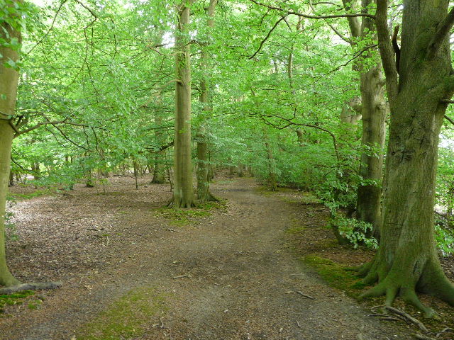
Monkton Wood