Pete's Walks - Ashridge Estate Boundary Trail (page 1 of 3)
If you are considering walking this route yourself, please see my disclaimer. You may also like to see these notes about the maps and GPX files.
Google map of the Ashridge Estate Boundary Trail
I did this 16-mile circular walk on Saturday, 12th September, 2009. I have done this walk many times before, both clockwise and anti-clockwise - click here to see my journal for this walk. Today I chose to do it anti-clockwise (the opposite direction to that journal), and started at the Bridgewater Monument in the centre of Ashridge.
It was a beautiful morning as I started walking about 9.45am, and would remain warm and sunny throughout the day. I took the track descending towards Aldbury, but soon branched left off it, following another recently re-surfaced bridleway contouring near the top of the wooded slopes above Aldbury.
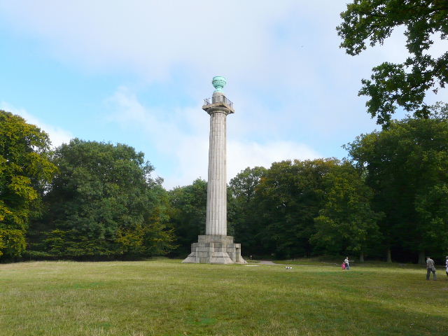
The Bridgewater Monument, Ashridge
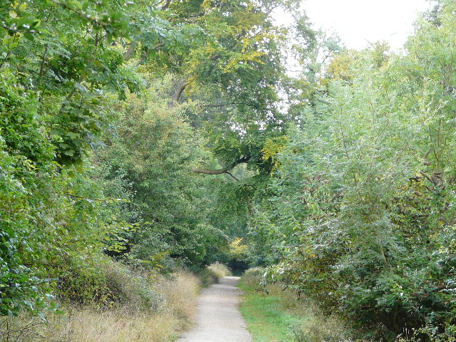
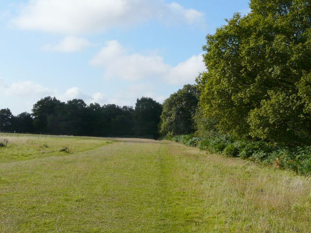
Bridleway through Ashridge, above Aldbury
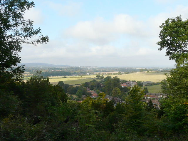
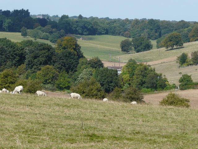
Looking out over Aldbury and beyond
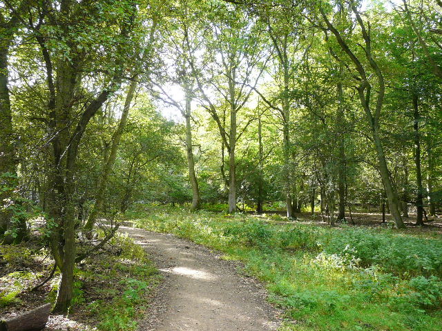
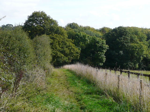
I saw my first two Fallow deer of the day near an isolated cottage in the woods, and shortly after I crossed a road that went past Tom's Hill to my right and down to Aldbury. The well-surfaced bridleway continued pleasantly through the trees for some distance, before I eventually branched off and took some paths across Northchurch Common. These led on to a path on the edge of the woods, overlooking Northchurch in the Bulbourne Valley to my right. I turned left along a private drive, then went right to cross the Ringshall-Northchurch road and to then reach Northchurch Farm.
Bridleway through Ashridge, near the road to Tom's Hill
Path on Northchurch Common
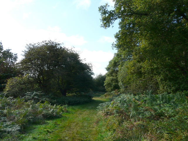
Path on Northchurch Common
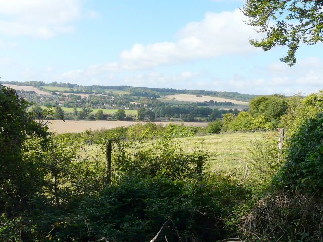
Looking out over the Bulbourne valley and Northchurch
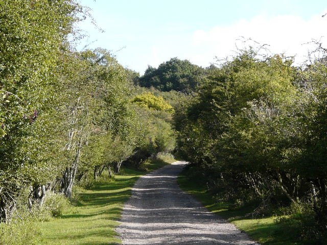
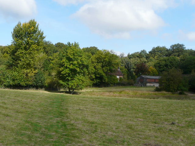
Private drive near Northchurch - rather unusually there were no Fallow deer here today
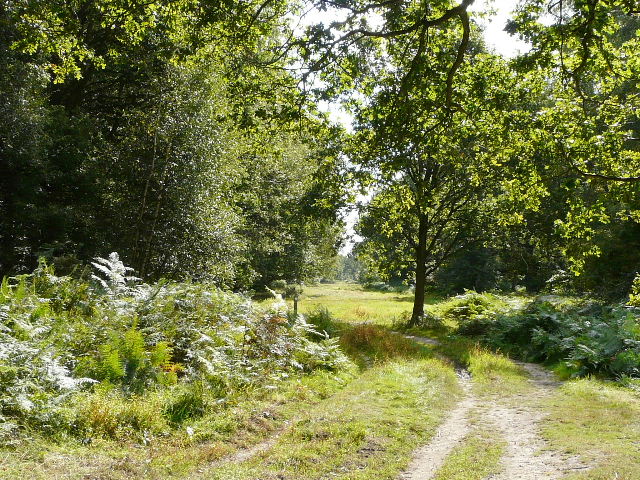
Beyond Northchurch Farm the footpath crosses a Polo pitch, and then continues on good field-side tracks for almost a mile to reach Coldharbour Farm, on the edge of the woods again. I passed two solo walkers along these tracks, the first of numerous other walkers I would see on this beautiful Saturday.
The path to Coldharbour Farm, just after the polo pitch
Approaching Coldharbour Farm
From Coldharbour Farm I took a bridleway going right. This ran through the trees, passing just left of a huge open expanse of grass with a small copse in it (with Frithsden Beeches on the far side), and continued as a very wide grassy track to reach Berkhamsted Golf Course. The path then continued through a belt of trees between fairways, crossed a minor road and ran along beside another fairway. It then turned left and ran between garden fences through Frithsden. It continued through another wood, where I glimpsed two Fallow Bucks, crossed a minor road in Frithsden again, and went uphill to reach a large sheep pasture with a splendid view towards the Golden Valley.
The path heading towards Berkhamsted Golf Course
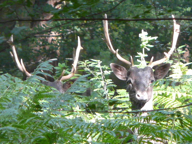
Two Fallow bucks near Frithsden
The Golden Valley, from near Frithsden