Pete's Walks - Cowleaze Wood and Radnage (page 2 of 3)
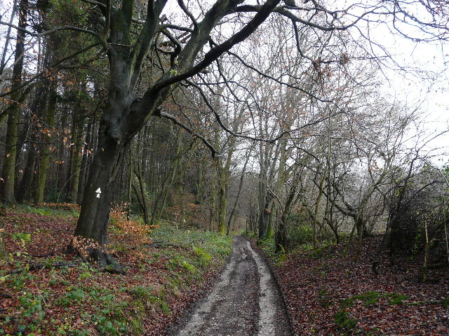
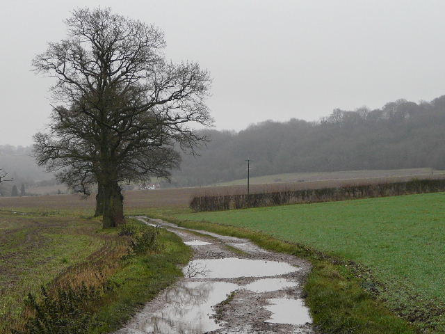
The bridleway initially ran along the edge of Kingston Wood, with paddocks or pastures a few feet to my right. After all the recent rain (one of the wettest Novembers on record, I believe) the bridleway was very muddy, as were most of the paths on today's walk. My route swung round from east to southeast as the bridleway continued into High Wood and then Lott Wood.
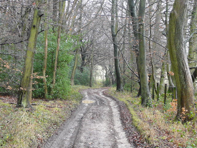
The bridleway along the edge of Kingston Wood
The bridleway along the edge of Kingston Wood
The bridleway continuing through High Wood
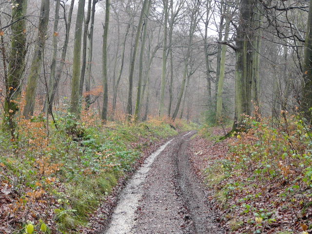
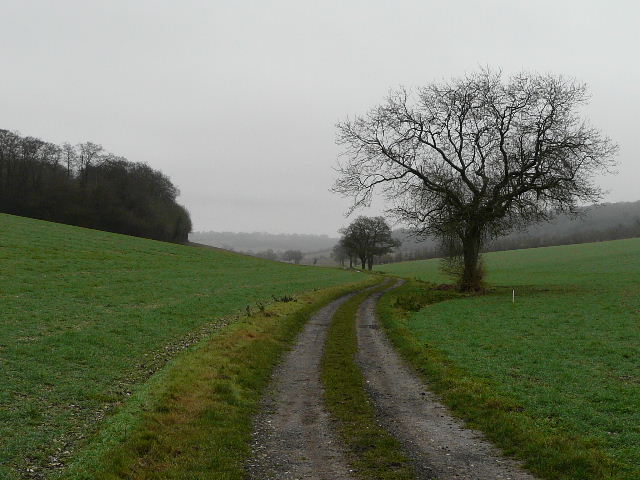
Emerging from the sequence of adjoining woods at last, the bridleway soon joined Collier's Lane, now a farm track but once part of a route used for transporting Welsh coal to London (info courtesy of the Chiltern Way Guidebook!). The track ran along the bottom of a valley, with occasional mature trees dotted along the way.
Collier's Lane
Collier's Lane
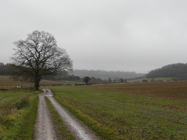
Collier's Lane (the wooded slope in the distance is Bledlow Ridge, Pophley's Wood is on the right)
After three quarters of a mile or so I joined a lane (Grange Farm Road). After just a few yards I turned right, following a bridleway along a track that soon entered Pophley's Wood as it rose out of the valley. At the top of the hill I passed a cottage and reached a minor road. As I turned right along the road, I joined the route of a walk I did when I was planning my Chiltern Chain Walk (on that occasion I'd come up a path a little to the left, which I think was one of the steepest I've ever come across in the Chilterns). The road soon took me into Waterend (there were some Redwings in a holly bush here), where I turned left at a road junction. I passed a pond in Waterend, and had to squeeze into the hedge on my right to allow a car to pass as the narrow lane descended towards Beacon's Bottom.
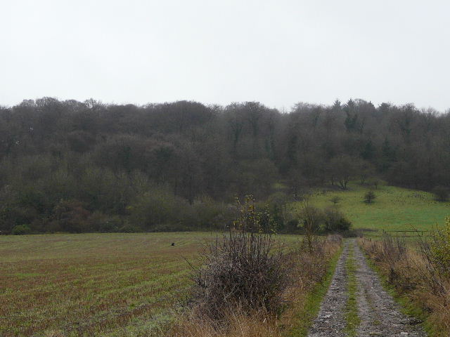
The path from Collier's Lane to Pophley Wood
Looking back along the path through Pophley Wood
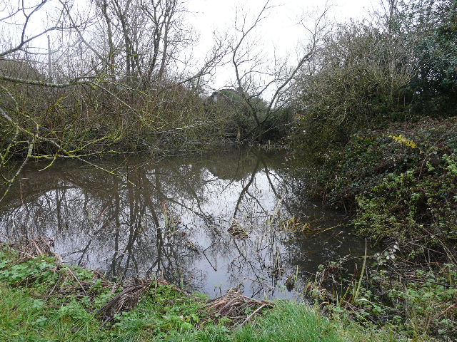
Pond in Waterend
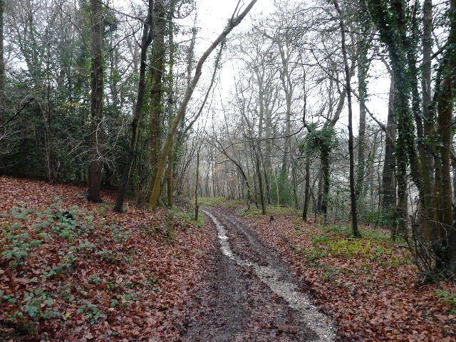
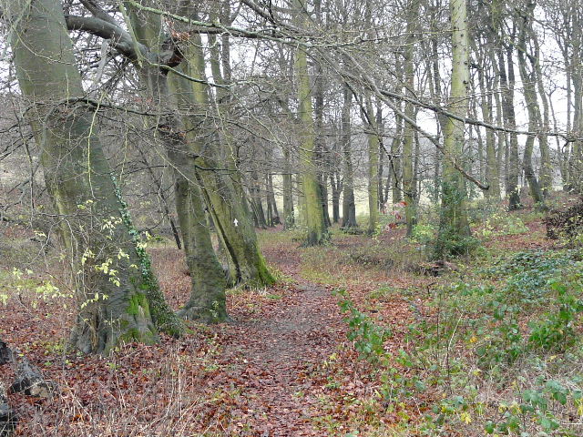
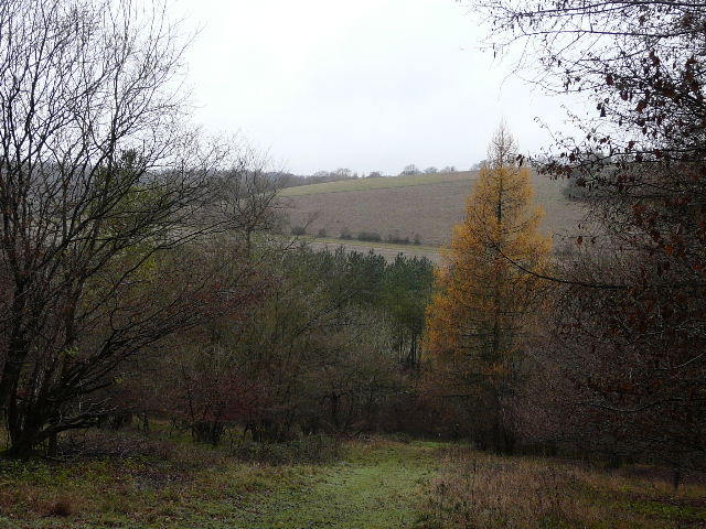
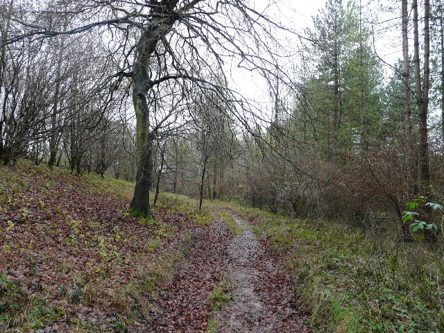
As I reached the edge of Beacon's Bottom I turned right on to a footpath, which ran through a small copse and then followed a fence line up to the A40. Across the main road a stile led into East Wood, the path staying close to the east edge of the wood, until a path junction where it turned right to head into the centre of the wood. The path now led towards the head of a valley, where it turned sharply left and followed a grass strip through the trees. Further on through the wood I kept a careful eye out for the white arrows on trees that marked the route, as I remembered having a problem here last time. Fortunately I recognised where I'd been confused before - just after passing the bottom of a slight descent the right of way forks right off a wide track onto a narrow and hardly visible path, but the arrow on the tree at this point appears to point along the track. If I hadn't been carefully looking for the junction I'm sure I'd have missed it again.
Copse on the edge of Beacon's Bottom
Path through East Wood
Path through East Wood
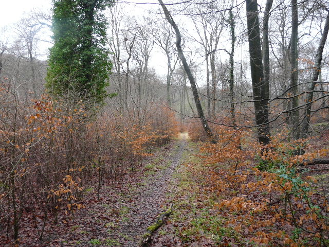
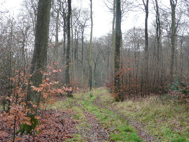
This path carried on through the trees, before joining a surfaced drive for a few yards to reach a minor road just south of Stokenchurch. I turned left along the road as it crossed over the M40, then I turned right on a path through the pastures around Penley Farm. Signs warned of a possible bull in the fields (one reason why I didn't include this route in my Chiltern Chain Walk), but I only saw a couple of cattle over by the farm sheds, some way off. The path ran between a hedge and a fence, before going straight on through a couple of kissing-gates I then followed a fence on my right as far as a fingerpost, which marked where I had to turn half-left across a pasture to reach a gate into Penley Wood. The path descended steeply through the trees, to reach a bridleway running along the valley bottom where I turned left.
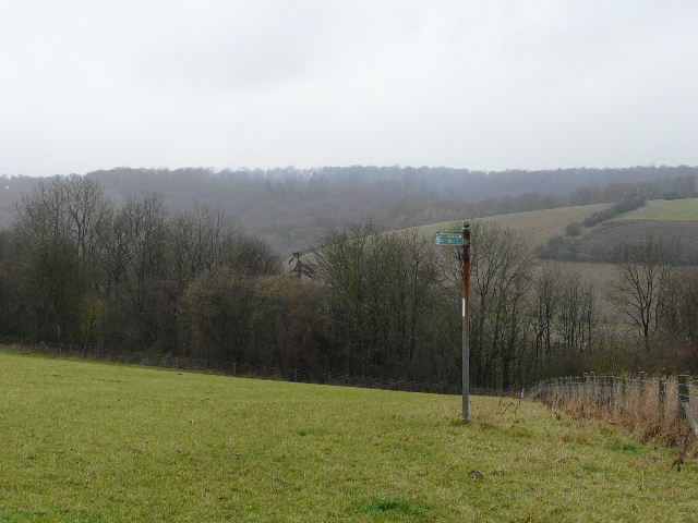
Signpost indicating where the path through Penley Farm turns left
The path descending steeply through Penley Wood
The bridleway along the valley bottom in Penley Wood