Pete's Walks - Walk from Maidensgrove (page 2 of 3)
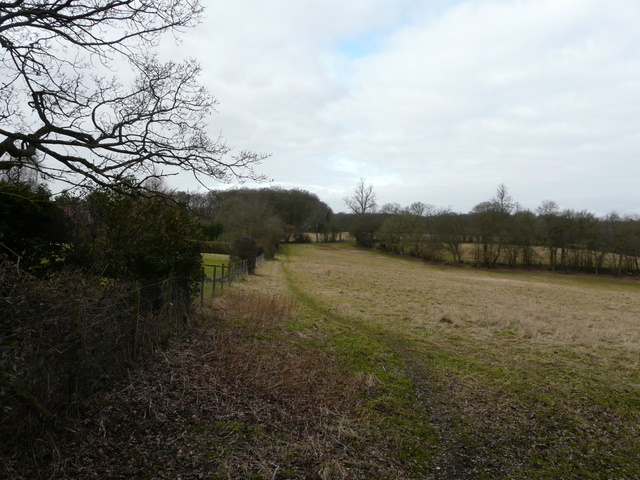
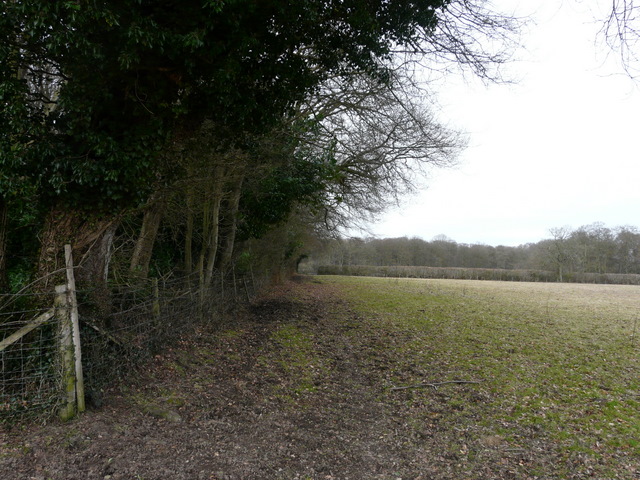
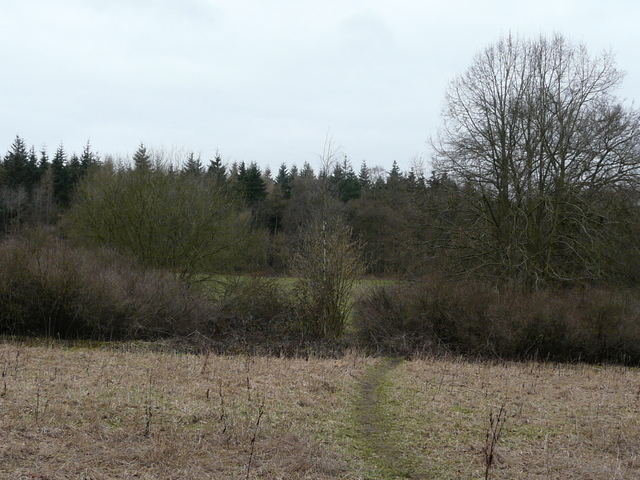
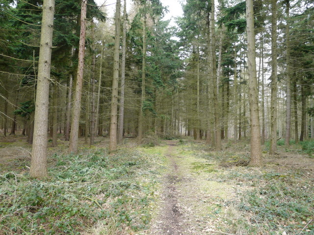
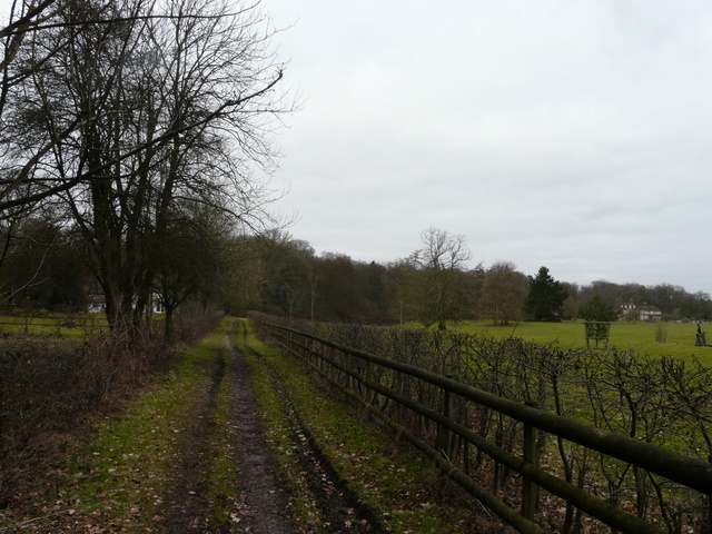
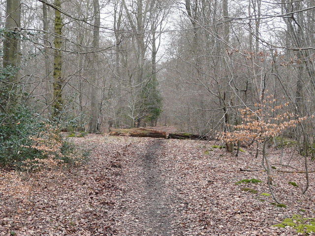
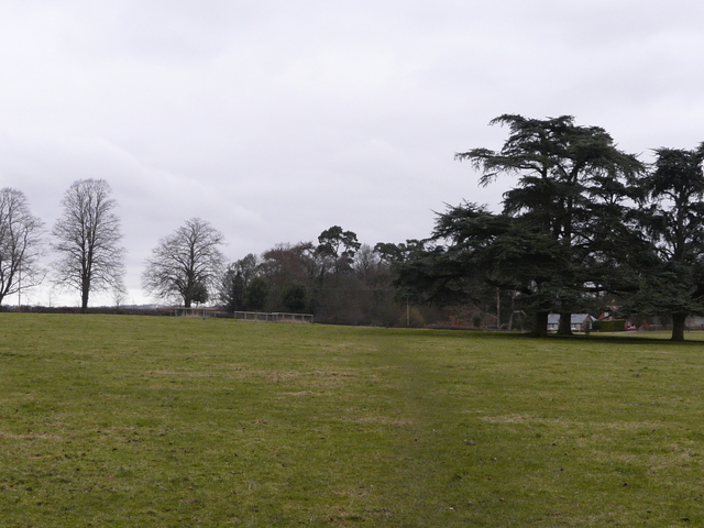
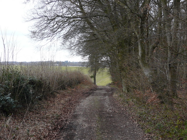
I kept to the right of the green in Shepherd's Green (beside a gravel drive), and continued on a path starting in the corner of the green. On entering a field I turned half-left (another path went half-right here) along the edge of the field, beyond which I had fences either side as I passed between two pastures. The path then went through a small copse (near the village or hamlet of Satwell), then continued again between fences to reach Padnell's Wood. A short way into the wood I initially missed a turning to the right here, and had to turn back a few yards. I then spotted the first Treecreeper I have seen for ages - funny how so often I spot something of interest after going wrong.
Near the start of the path from Shepherd's Green
The path from Shepherd's Green, near Satwell
Approaching Padnell's Wood
The path in Padnell's Wood, after I turned right
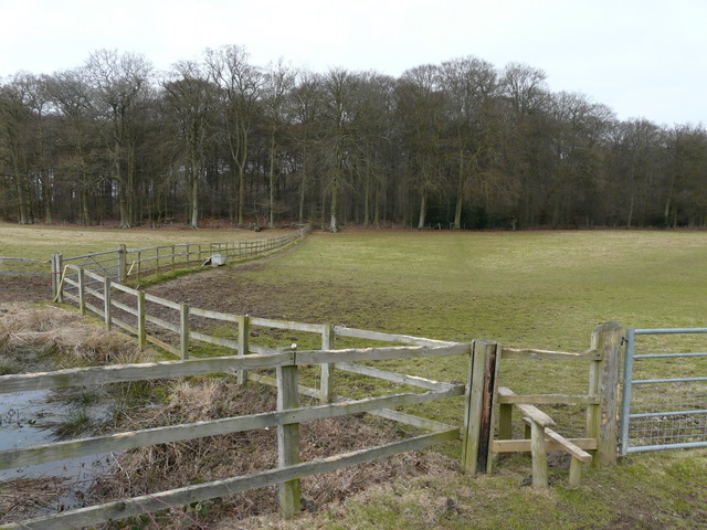
On the far side of the wood I re-crossed Rocky Lane, soon going through some trees and bushes then crossing a field to reach a much larger wood, Holly Grove. I roughly remembered the way here from when I walked here about 2.5 years ago, but kept an eye on the map just in case. I soon went right at a path T-junction, then after maybe a 100 yards or so the public footpath turned left (a clear path continued straight on, but this is not an official right of way). After a few hundred yards I reached a path T-junction where I went right, and at the end of this path I turned left onto a bridleway. Unusually some of this section was through an area of Rhododendrons. As I took a photo of a pond I was startled by the sudden appearance of two Mountain Bikers.
The path to Holly Grove, from where I re-crossed Rocky Lane
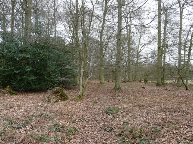
The path through Holly Grove
The path through Holly Grove
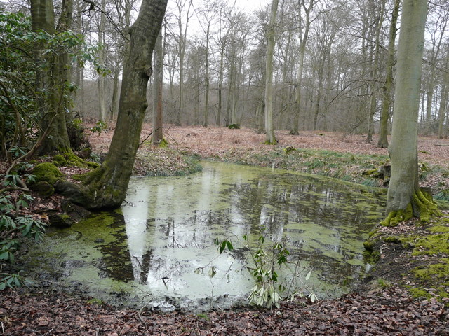
Pond in Holly Grove - I had to leap out of the way of two Mountain Bikers as I took this photo
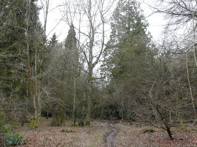
Beyond Holly Grove the bridleway continued along a track that passed a cottage on the left, and then at a crossroads of tracks and drives I turned right along the drive to Merrimoles House. When I reached a T-junction of drives just after this big house, I took a path that continued straight on through Highmoor Common Wood. At a path junction after several hundred yards (white arrows on tree) I turned right, fairly soon crossing a public byway in the woods, and continuing on along what the map now shows as a bridleway. After a while this turned left, right and left again to reach a main road (A4130) just east of Nettlebed. Across the road I took a lane leading through Catslip and on a few hundred yards to Crocker End.
Leaving Holly Grove and heading towards Merrimoles House
Start of the path beyond Merrimoles House
The lane between Catslip and Crocker End
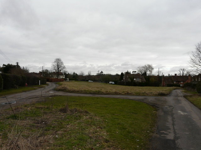
Crocker End
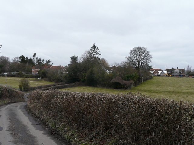
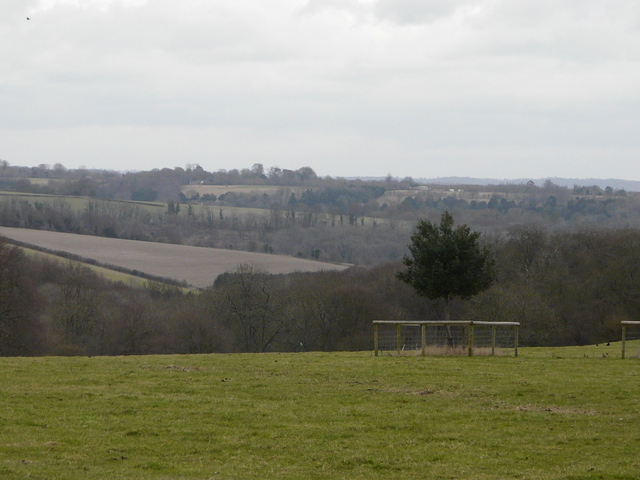
I kept left at a lane junction in Crocker End, and then took a footpath starting almost opposite the end of the lane. Heading north from Crocker End I was back on the Chiltern Way, or at least its southern extension. There was a fine view eastwards (right) as I crossed the parkland around Soundess House (possibly once the home of Nell Gwynne). On the far side I turned right along a drive, then turned left along a track past Soundess Farm on my left. A wood called Stockings Plantation was on my right, and the path continued with this wood on my right as it next went along the edge of a large corn field. After a few hundred yards a post with waymarks indicated where the path turned half-right, running between trees on the right of an empty pasture, with the wood still a few yards to my right. Finally the path went half-left across an empty pasture, dropping downhill to a major path junction in the valley of Upper Bix Bottom (where the southern extension branches off the original route of the Chiltern Way).
The path leaving Crocker End
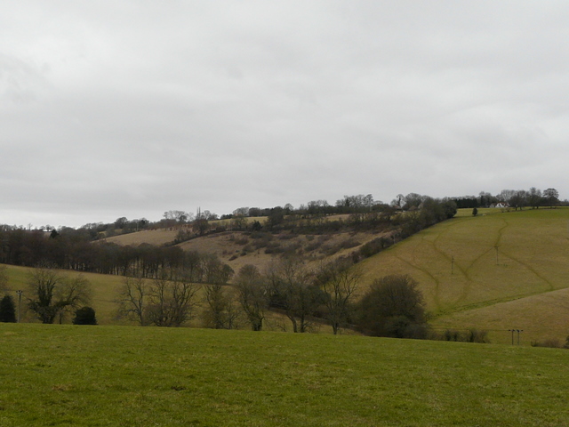
View eastwards from near Crocker End
Path near Soundess Farm
The path descending into Upper Bix Bottom