Pete's Walks - Old Amersham and Beaconsfield (page 2 of 3)
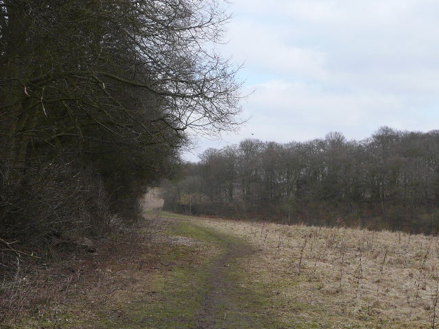
Beyond Birchen Spring, it took me a couple of minutes to cross the surprisingly busy A335 (the main road south from Amersham to Beaconsfield). On the other side, I went past a lodge and joined a tree-lined drive (to a large property called The Grange, according to the map). Where the drive turned right after a few hundred yards, I joined a footpath that was soon continuing ahead, following a hedgerow on my right through a large arable field to reach Brown's Wood. The path continued through the wood (largely beech with some holly as usual) to eventually reach some garden fences on the north-eastern edge of Beaconsfield where I turned right (this was the first time I'd walked anywhere close to the town, though drove through it when I walked the Beeches Way last year and remember visiting the model village of Bekonscot here when I was a child). A very short distance further on, I turned right (north) on another path, roughly along the border between the adjoining Netherlands Wood and Brown's Wood (now on my right). After about half a mile, at a T-junction of paths, I turned left, the new path eventually leaving the woods and running alongside the edge of Knotty Green (a northern 'suburb' of Beaconsfield). I soon turned right at a path junction, following the left edge of a ploughed field with more houses now to my left.
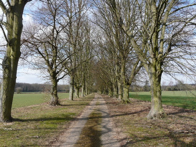
The drive to The Grange
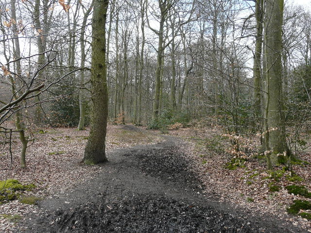
Path through Brown's Wood
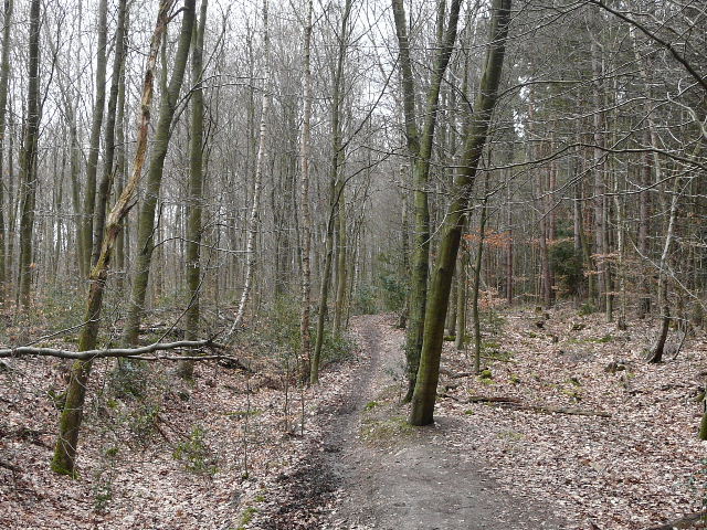
Path through Netherlands Wood
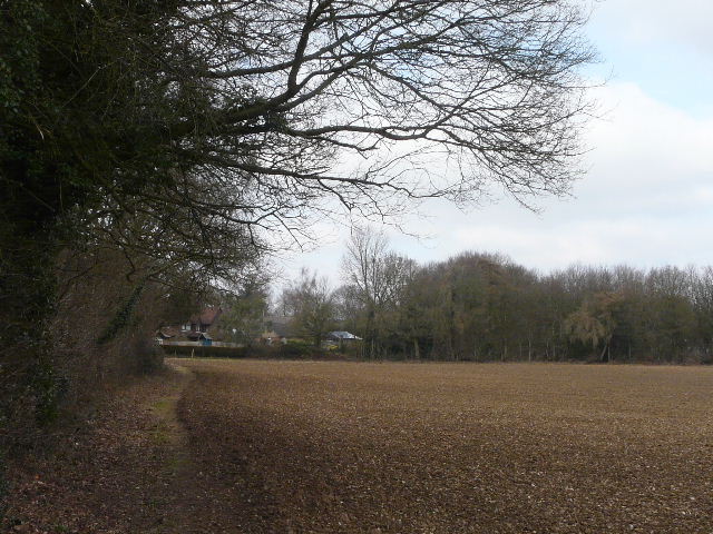
Path along the edge of Knotty Green
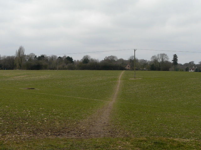
The path then followed the edge of a small copse for a while, before crossing a ploughed field (the path had not been re-instated here, but there were several footprints to follow) to reach a corner of Sandels Wood (which was connected to the previous woods I'd walked through). A good track now led north or northeast to Seagrave's Farm, where a nice view opened out over a valley, looking ahead towards Winchmore Hill and Penn. I followed the drive from the farm down into the valley bottom, to reach a sharp bend in Fagnall Lane. I now had about a mile of lane walking, as I followed Fagnall Lane straight on, gently uphill towards the village of Winchmore Hill. There was very little traffic, and the scenery was quite pleasant so that this section wasn't too much of a drag.
Path from Knotty Green to Seagrave's Farm
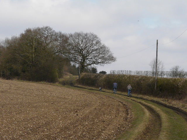
The path to Seagrave's Farm
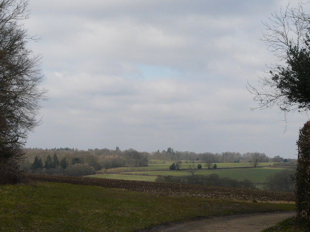
View from Seagrave's Farm, northwest across the valley of Marrod's Bottom
Heading north into Marrod's Bottom along the drive from Seagrave's Farm
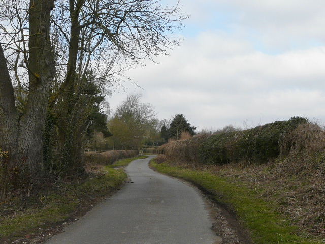
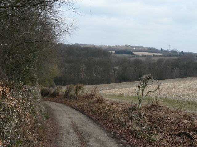
Fagnall Lane, approaching the southern edge of Winchmore Hill
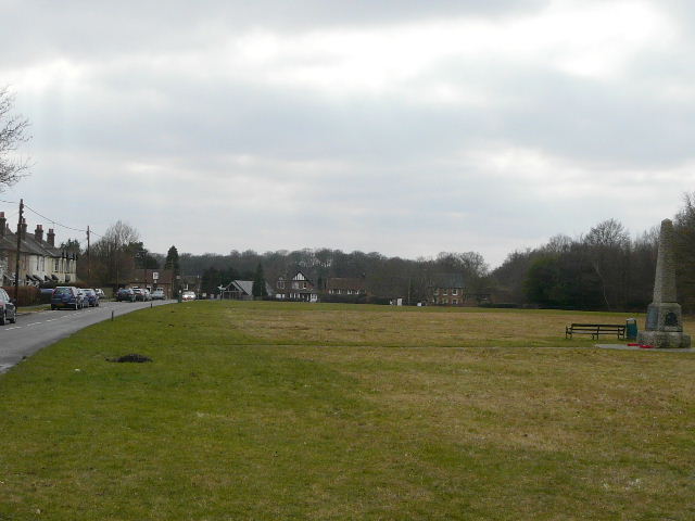
I was back on familiar territory when I reached Winchmore Hill, having been here before on the Chiltern Way and the Chiltern Heritage Trail. I continued straight on through the village, passing a football pitch on the green on my left, and stopped for a slightly early lunch (it was now 12.40pm) on a convenient bench. When another part of the green started on the right of the road, I followed its right edge down to another road (I passed a gentleman with a fork other his shoulder, obviously on his way to the allotments on the other side of the road). Across this road, the path continued between hedges, with the allotments to my left and further on a corn field to my right. It then crossed a field and continued through a wood. Beyond the wood, the path went slightly to the right, across another large field. The path then passed through some bushes, and along a broad drive between houses to reach a road in Penn Street.
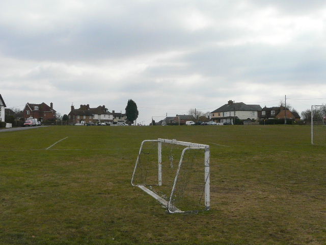
Winchmore Hill
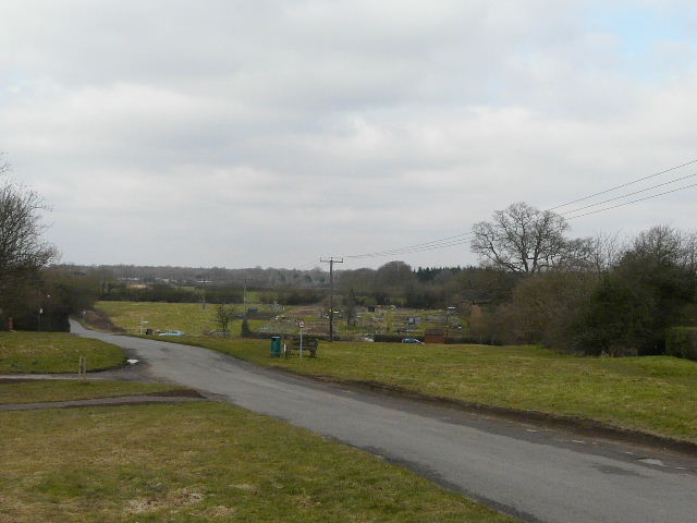
Looking northwest from Winchmore Hill - the route continues just to the right of the allotments
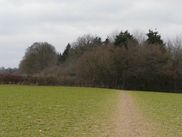
Path from Winchmore Hill approaching Tragoe's Plantation
The path approaching Penn Street
Penn Street