Pete's Walks - Watlington Hill, Cadmore End, Turville (page 1 of 5)
If you are considering walking this route yourself, please see my disclaimer. You may also like to see these notes about the maps and GPX files.
Google map of the walkDownload GPX file of the walk
UPDATE 30/10/2023: You now have to pay (£3 a day, I believe) at Watlington Hill car park, unless you are a National Trust member.
I did this 13.8 mile circular walk on Saturday, 10th April 2010. It proved to be a particularly good walk and I took lots of photographs, so this report is spread over five pages.
This was a beautiful Spring day, with the temperature already 11C as I got in my car and 13C when I started walking. The skies were largely blue with only a few clouds, though it did get slightly cloudier in the afternoon (as forecast). For the first time this year I left my warm Paramo coat at home, just carrying my lightweight waterproof jacket in my rucksack, though I still wore a warm Paramo shirt and my winter walking trousers (both of which I'd later regret as they were too warm on such a nice day). Fortunately I remembered to take my sunhat with me.
I was a little late in setting off from home, and then had to stop to get petrol, so it was just after 10am as I started walking from the car park (grid reference SU 709936) on Watlington Hill (when I started a walk here two weeks ago, a large party of girls with heavy rucksacks were about to start a walk, today there was a group of 18 walkers about to set off). I turned right from the car park and followed the road eastwards for a quarter of a mile to a junction on the edge of Christmas Common. I then turned left for a short distance before taking a path on the right that entered Shotridge Wood. I was already on an unfamiliar path, as I would be for most of this walk. After a couple of hundred yards the path turned left, now in a section of wood that would obviously soon have a good display of Bluebells. I then went right at a path junction before almost immediately forking left in an attractive area of beech trees. I soon spotted a Muntjac deer as I followed the very pleasant path as it gradually descended through the trees.
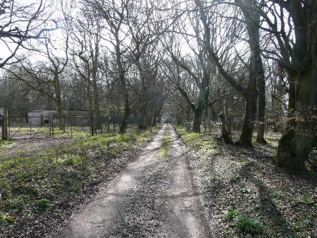
The start of the path through Shotridge Wood
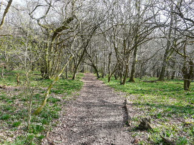
The path through Shotridge Wood
The path through Shotridge Wood, just after the left fork
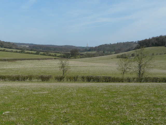
Further on, as the path continued dropping into a valley, the trees were mainly hazel, silver birch and other small trees, with a few slight glades where I saw my first comma and peacock butterflies of the year. At some point the wood became Blackmoor Wood, I think, as the path continued along the valley bottom. I eventually passed a piece of sculpture (I was now in the Wormsley estate, though unusually I hadn't seen a sign where the path entered the estate) and reached a junction where the route of the Chiltern Way came in from my right. A little further on the path ended when I reached a drive, where I went right for a few yards, before forking left on a path that crossed a small sheep pasture. It then crossed another drive and then a much larger sheep pasture - the views here in the Wormsley valley were very pleasant indeed.
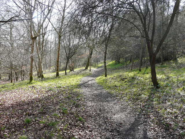
The path through Shotridge Wood (or possibly now Blackmoor Wood)
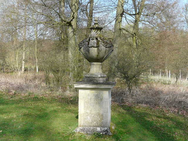
Sculpture in the Wormsley estate (near the junction with the Chiltern Way)
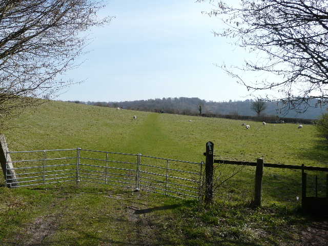
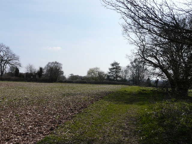
Start of the path through the sheep pastures in the Wormsley valley
The path across the Wormsley valley (the Chiltern Way continues uphill and through the wood to Ibstone, but I would turn right along a bridleway beyond the crossing hedgerow)
Beyond the large sheep pasture I left the Chiltern Way and turned right onto a bridleway, a broad track between a fence and a hedgerow. After a few hundred yards this ended at the drive I'd been on a short while before, where I turned sharply left (between the bridleway and the drive) onto a path across another sheep pasture. This took me to Hale Wood, beyond which was a narrow strip of grass and then the much larger Great Wood. The path now rose fairly steeply through the trees - being very unfit, I was puffing and panting long before I got to the top.
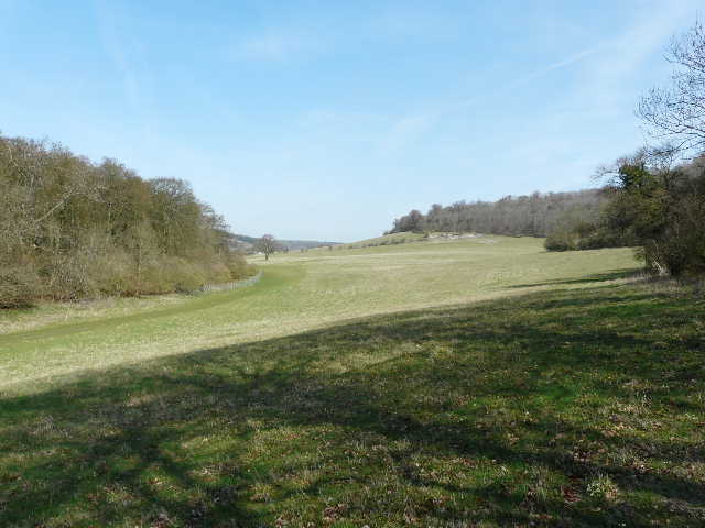
The bridleway through the Wormsley valley
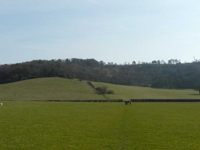
Looking north along the Wormsley valley
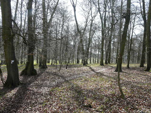
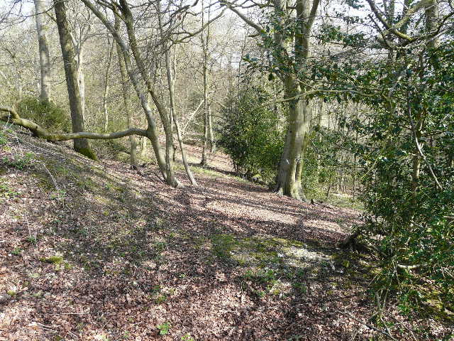
The path through Hale Wood
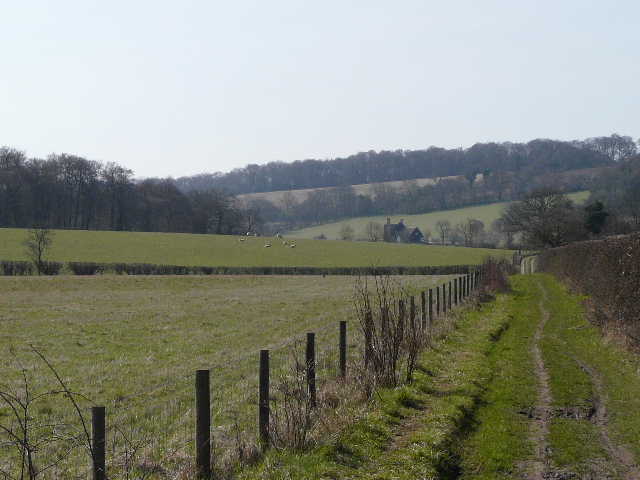
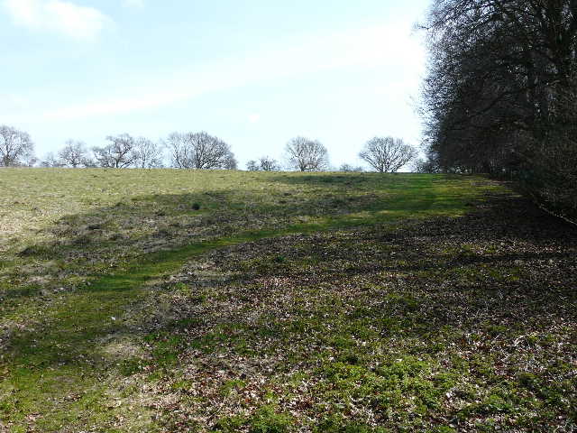
Looking north from near the entrance to Great Wood, with Hale Wood on the left
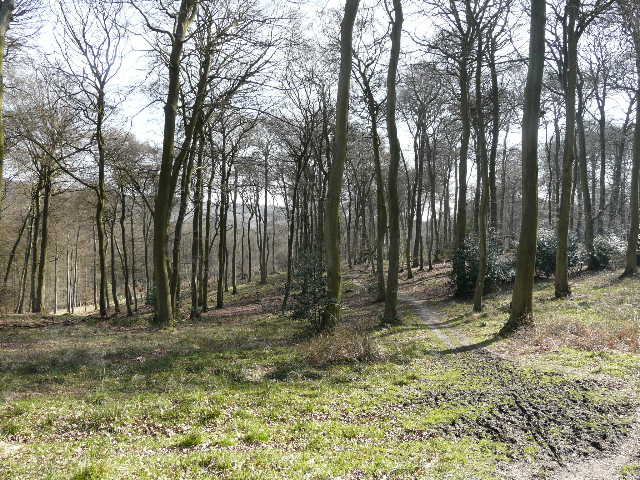
The path through Great Wood
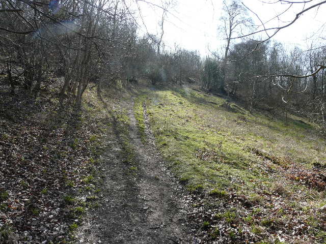
When I finally struggled to the top of the slope, I found the path left Great Wood and continued along the edge of a field, before running between garden fences to reach a lane in part of Ibstone. Almost opposite, I took another footpath, immediately taking a left fork onto a path descending through an unnamed wood. At the bottom of the valley, the path went over a stile into an empty pasture, and followed its right edge steeply uphill (beside another section of the wood) and soon reached the minor road that runs through Ibstone, where I turned left.
The path from Great Wood to Ibstone
The path to the main road in Ibstone
The path to the main road in Ibstone