Pete's Walks - Variation on 'Four Hills walk' (page 3 of 4)
The bridleway eventually ended when it met part of the Ridgeway Path, with the top of Whiteleaf Hill just a short distance to my right. I saw that the protective fencing around the ancient barrow on top of the hill has been removed, though it looked like it was already being eroded away. I took a couple of photos, looking out over the Risboroughs and the Vale of Aylesbury, then continued along the Ridgeway (whit acorn symbols) as it turned right and took the long descent through woods to the hamlet of Lower Cadsden.
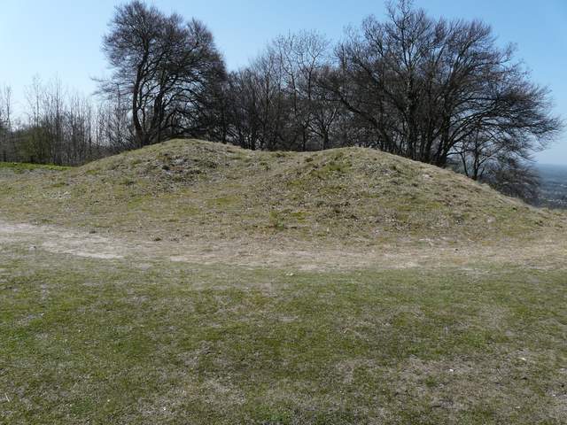
The ancient burial mound on Whiteleaf Hill (it's almost 6000 years old)
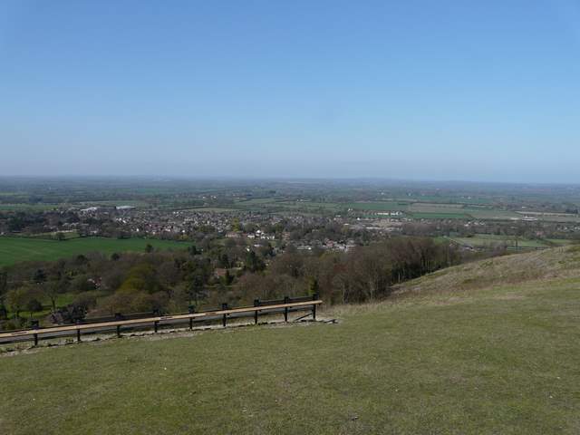
Looking over Monk's Risborough and the Vale of Aylesbury from Whiteleaf Hill
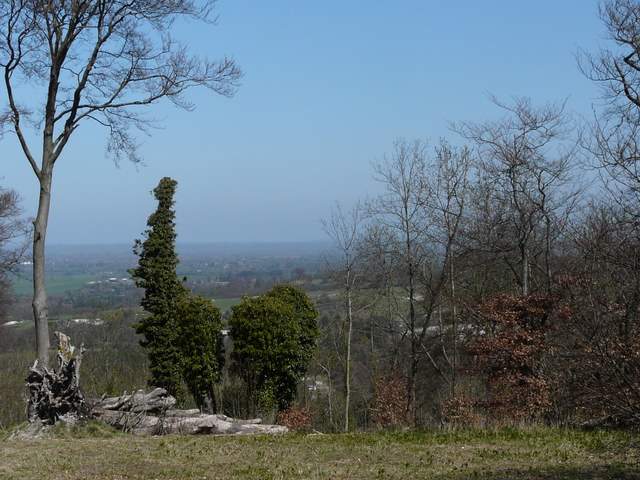
View north from Whiteleaf Hill
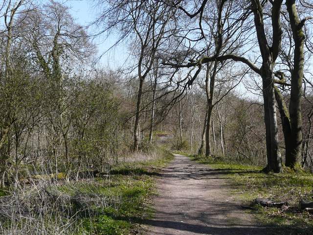
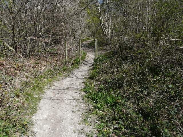
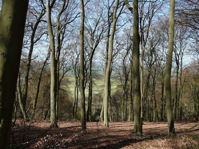
The start of the path from Whiteleaf Hill to Lower Cadsen
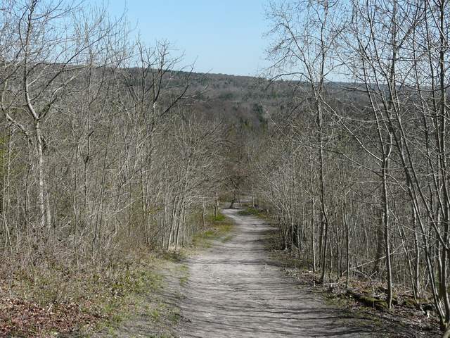
The path from Whiteleaf Hill to Lower Cadsen
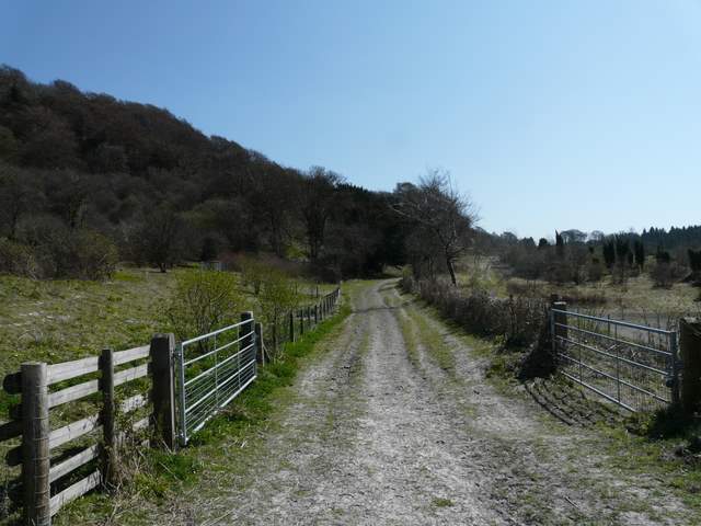
The bridleway took me to the Plough at Cadsden, from where I followed a short street to another road. Across this, the Ridgeway continued through a small wooded area, then went left on entering the more open area of a nature reserve where I saw Primroses and more Cowslips. On the far side of the reserve, I left the Ridgeway by turning right, along a very pleasant bridleway running southeast and gently gaining height, with the steep wooded slopes of Pulpit Hill on my left. The bridleway ended at a car park, where I took a path heading steeply up into the trees. After a short but steep climb, I turned left at a path crossroads onto a path contouring through the trees, and then after a few hundred yards turned right on a short path to reach the iron-age Hill fort on the summit of Pulpit Hill (there's little to see, the banks and ditches being hidden by the undergrowth in places). There was a convenient place here for me to sit and eat my packed lunch, as it was now about 12.50pm.
The path through the nature reserve
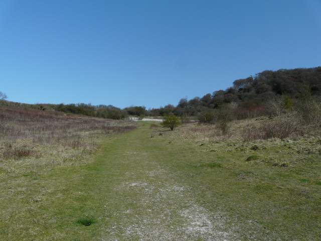
The start of the bridleway alongside Pulpit Hill
The bridleway alongside Pulpit Hill
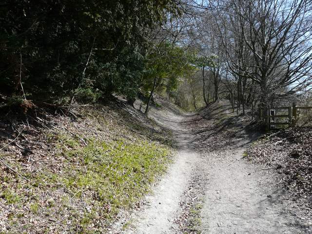
The path up Pulpit Hill from the car park
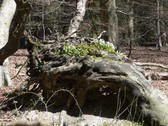
Wood Sorrel growing on a tree trunk on Pulpit Hill
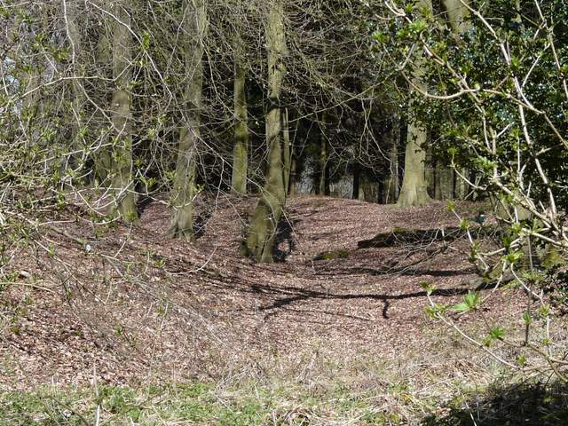
Remains of a ditch and banks of an Iron-age hill fort on Pulpit Hill
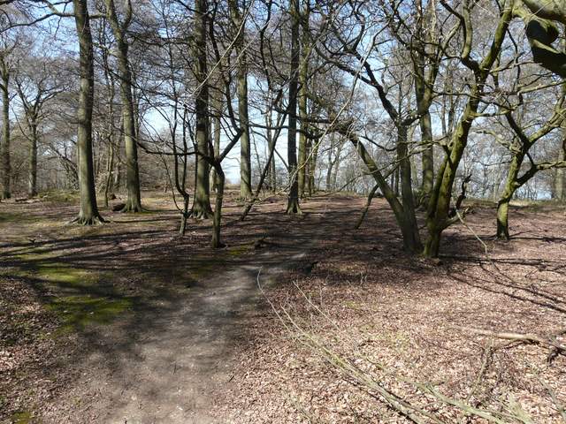
The path through the centre of the hill fort
I continued on a path going right from the far side of the hill fort, contouring through the trees with a steep drop to my left. At a path crossroads, where I usually turn left towards the hillock of Chequers Knap, I decided to go straight on instead - this was cutting a small corner off my usual route, but would be a path I'd never walked before. Almost straightaway I spotted a butterfly, my first Orange Tip of the year. The path led out of the trees (I'd passed from Pulpit Wood to Maple Wood somewhere) into a large pasture studded with trees and bushes where I soon came to a familiar kissing gate in a fence corner, on the 'Cradle footpath' that runs towards Chequers.
View northwest from Pulpit Hill
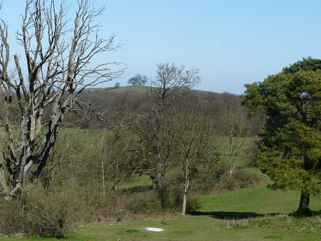
Beacon Hill from near the Cradle Footpath