Pete's Walks - Buckland Common to Ashley Green (page 1 of 4)
If you are considering walking this route yourself, please see my disclaimer. You may also like to see these notes about the maps and GPX files.
Google map of the walkDownload GPX file of the walk
I did this 13.1 mile circular walk on Monday, 3rd May 2010 (a Bank Holiday).
Having recently done a couple of local walks on familiar paths, I thought it was about time I explored somewhere new again. I have been aware for some time that there is a sizable section of the Chilterns south-west of Berkhamsted and north of Chesham that I have hardly touched upon, so this walk was designed to put that right. In planning the route, I especially wanted to follow a two-mile path along the ridge north of White Hawridge Bottom and to visit the ruins of Marlin Chapel.
I took one step out of the back door this morning, and immediately went back inside to change into my warm winter trousers and to get my Paramo coat. After a couple of very warm weekends, today there was a strong and very cold wind that drastically reduced the temperatures. I parked the junction of Parrott's Lane and Bottom Road in Buckland Common (grid reference SP 921071), where I've started a few walks from now, and started walking just after 9.40 am.
I went a few yards to the end of Bottom Road and then a short distance left along the road towards Cholesbury, but then took a path on the right (just after a petrol station). I soon turned left at a path crossroads, following a path through fields along the bottom of a small valley, parallel to the road. The skies were quite ominous now, and for the next ten minutes or so there were a few spots of rain. After following a fence through a couple of pastures I turned left, immediately before a road, following a muddy path (where I saw my first Green Alkanet of the year) up to a road and Cholesbury Common. I went a few yards right here, passing a post marking the boundary between Cholesbury and Hawridge, then forked left on a path across the common that soon turned further right along a valley bottom Here the path followed the Hertfordshire-Buckinghamshire county boundary, passing through an area of trees and then a more open area, part of Hawridge Common. Across a lane, I had difficulty finding the path back up to the road through Hawridge - four paths are shown on the map, but I could only find two. I started up one of the paths, but after a while made my own way across the grass and between the bushes to reach the road. I then wasn't sure if I needed to go right or left to reach the path starting on the other side of the road. Having studied the map and noticed the school just to my left, I decided I needed to go right - of course, as soon as I did so I then spotted the footpath sign just a few yards away!
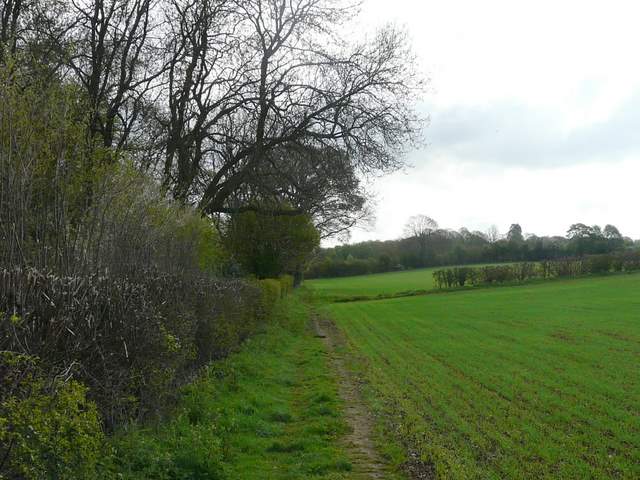
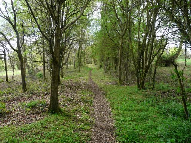
Path between Buckland Common and Cholesbury
Path between Buckland Common and Cholesbury
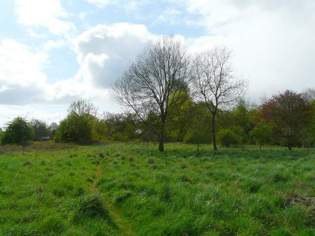
Looking towards Hawridge from Cholesbury Common
This path near Hawridge, heading due east, is on the Herts/Bucks boundary
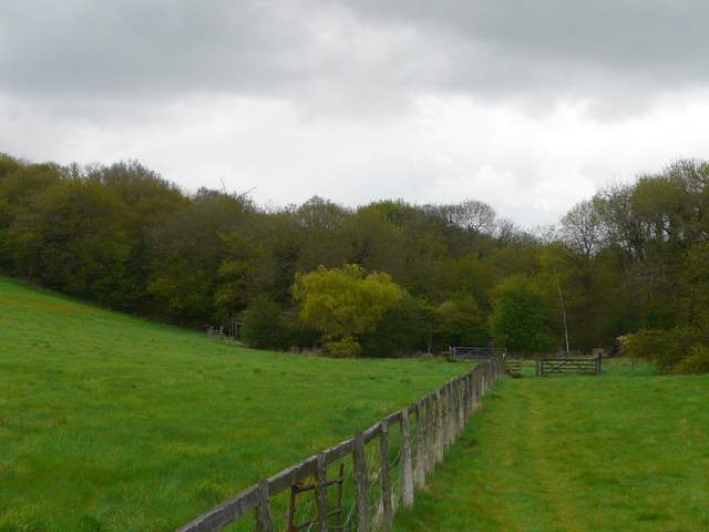
Path on Hawridge Common - I turned off it and made my own way back to the road, but should probably have just stayed on it
This path led between gardens and turned left behind more gardens, before going across an area of overgrown wasteland where I spotted a Muntjac Deer. I went over two stiles in quick succession to enter an area of farm buildings in the corner of a large meadow, where I continued along a hedgerow on my left. Heading southeast, I was now on the footpath I'd deliberately included in the walk, running for about two miles along a ridge north of White Hawridge Bottom (I usually follow the path through that valley, part of the Chiltern Heritage Trail and my Chiltern Chain Walk). The path crossed a meadow before passing to the left of the buildings at Hawridge Place, then crossed a very large pasture where a few cattle were chewing the cud over to my right (they were some way off, but I think they were Highland Cattle - they certainly had very long horns). As I passed to the right of Hawridge Court, I took a short diversion to my left to photograph Hawridge church.
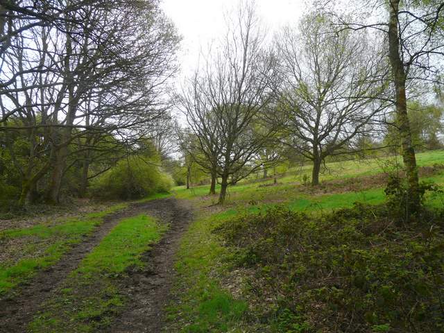
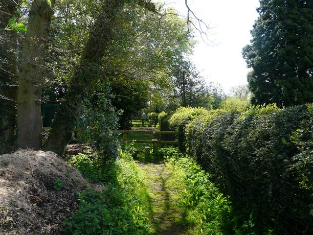
Path through some waste ground behind some cottages in Hawridge, the start of a two-mile long path along the ridge north of White Hawridge Bottom
The path passing Hawridge Place - not a path for anyone with an aversion to stiles!
The path through a meadow, passing Hawridge Court on the left
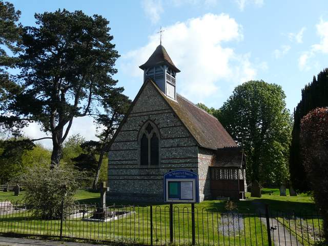
St Mary's church, Hawridge (just off route)
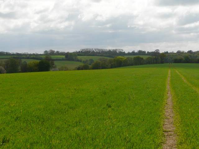
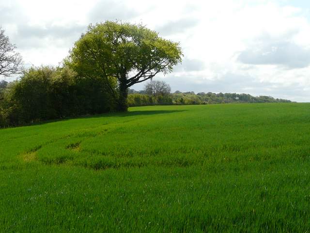
The path continued across a pleasant meadow speckled with dandelions, the ridge now narrowing so that I was aware of the valleys either side. The next section of the walk was very straightforward, as the path followed tractor tracks for about a mile through three huge arable fields, the ridge very slowly narrowing and losing height. The tractor tracks continued through the next corn field too, but the path turned left along a hedgerow, turning right in the nearby field corner to continue the long gentle descent of the ridge. The hedge curved slightly right, and ahead of me I could see part of Chesham across Chesham Vale. Eventually I reached the next corner, where I turned left at a path crossroads, thus joining a section of the Chiltern Heritage Trail (I was close to the ostrich farm in White Hawridge Bottom but didn't see any of these huge birds today).
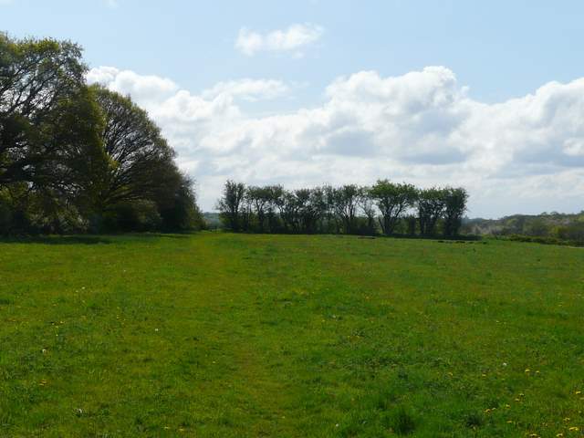
The path continuing through a meadow
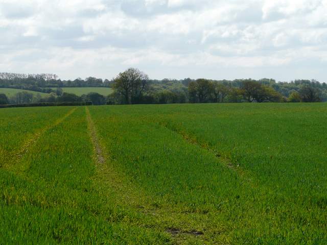
The first large arable field
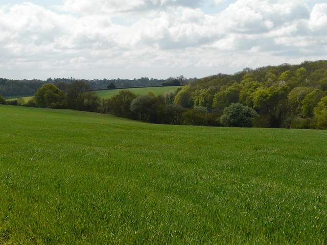
Looking right, over the eastern end of White Hawridge Bottom and Ramscoat Woad
Path continuing through another huge arable field, with the valley to the left of the ridge visible
The path continues along the hedgerow
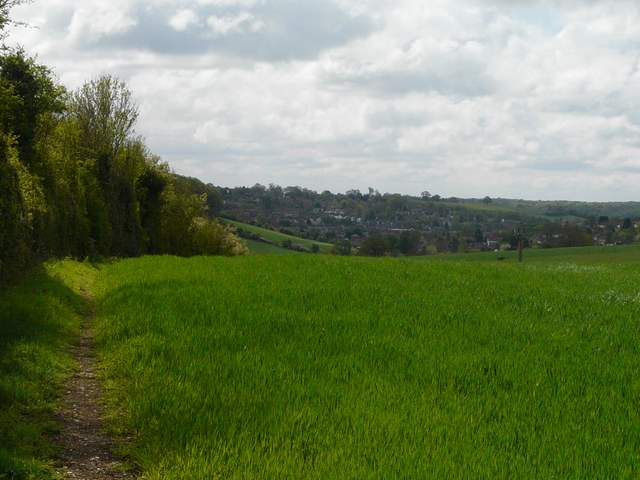
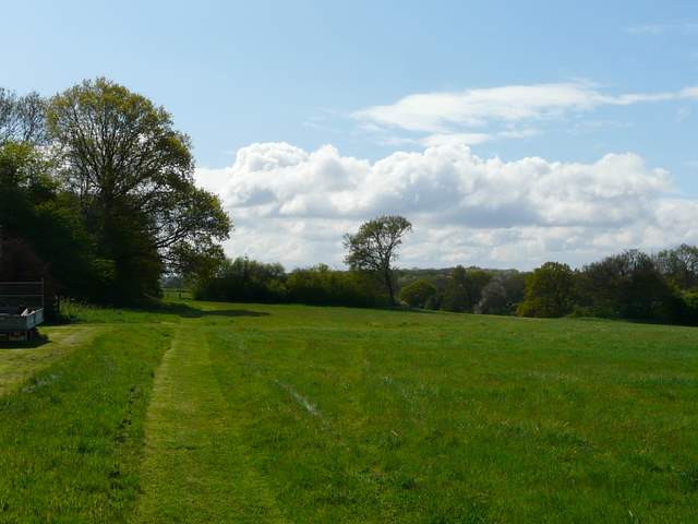
Looking ahead over part of Chesham