Pete's Walks - Chenies and Ley Hill (page 2 of 3)
I went a short way left along the lane, then turned right onto a footpath starting at Mill Farm (just before the lane crosses the river Chess). The footpath continued westwards from Chenies Bottom, briefly running quite close to the river. After a few hundred yards I turned right, heading slightly uphill along a bridleway to reach Bradwin's Wood. The path continued northwards through the wood, and on along a track marked as an 'other route with public access' on the OS map. A quarter of a mile or so from the wood I turned left at a track T-junction to reach the narrow Long Wood, descending through it and on down into the valley of Flaunden Bottom. Here I turned right along a lane for a while, before taking a bridleway on the left at a sharp bend (the lane continues to Flaunden, which I visited on the Chiltern Way).
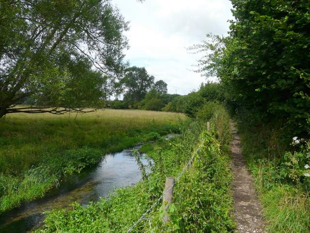
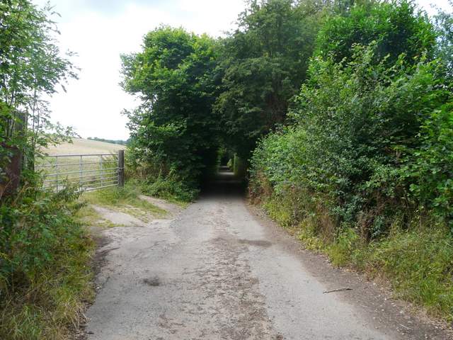
Just west of Chenies Bottom, shortly before I turned right to Baldwin's Wood
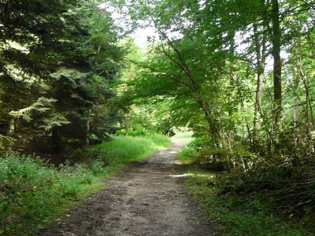
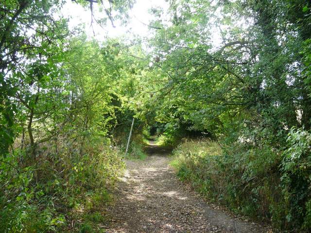
Path through Baldwin's Wood
Public right-of-way just north of Bradwin's Wood
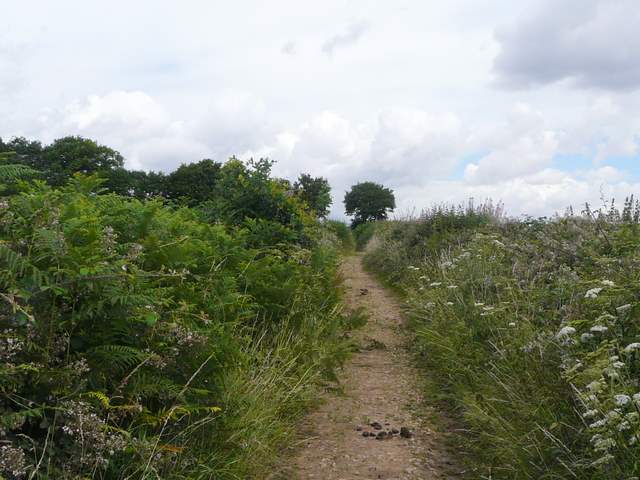
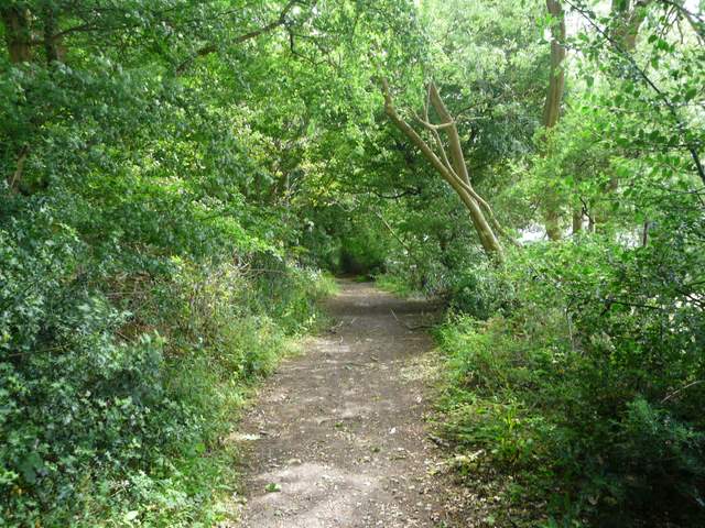
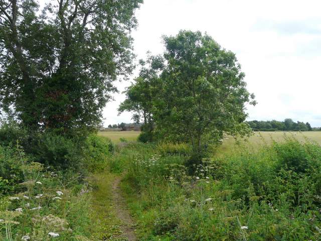
Path down from Long Wood to the valley of Flaunden Bottom
The bridleway soon turned right and led gently uphill between hedgerows. As I walked along it, I spotted a large Orange butterfly. I managed to get a quick photo of it when it settled briefly, and later had it identified on the a wildlife website as a Silver-washed Fritillary - the first I've ever seen. After about a mile the bridleway reached Ley Hill by Flounden End Farm, where I turned right to follow a road into the centre of the village, passing a golf club and a cricket pitch.
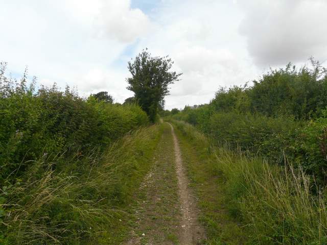
Near the start of the long bridleway from Flaunden Bottom to Ley Hill
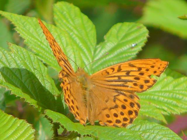
My first ever Silver-washed Fritillary!
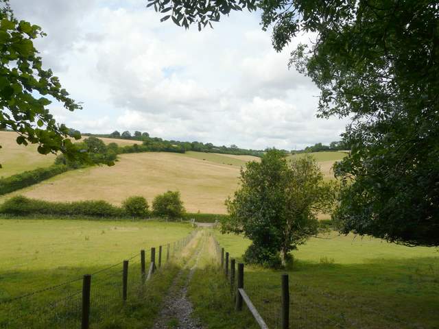
The bridleway approaching Flounden (sic) End Farm at Ley Hill
On reaching a junction where several roads met in Ley Hill, I went a few yards left then turned right along a track in front of some properties and a chapel. I then turned left onto a footpath which went down a long alley between houses and then crossed a couple of paddocks to reach a wood. Just inside the wood I turned right. After a while this path turned left, then a bit further on it curved right (near several large pits). On reaching a path junction near the edge of the wood, I kept right. On leaving the wood I followed the path down through a pasture to Broomstick Lane, a path on the edge of the village of Botley. I followed it to the left, soon reaching a junction where I crossed over and continued down Bottom Lane - this was initially tarmac, but soon reverted to a roughly surfaced track between hedges, living up to its name by following a valley bottom for some distance.
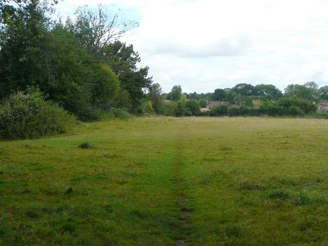
The path from the wood near Ley Hill to Botley
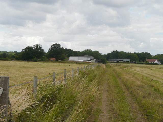
The start of Bottom Lane at Botley
I kept left at a fork (where a footpath also crossed the bridleway) and after about another half mile I turned left, when I came to a bridleway T-junction. I now followed a similar hedge-lined track called Green Lane, running uphill and then passing a wood on my left. There were views here over the Chess Valley on my right, to the woods around Chesham Bois. Green Lane then continued for several hundred yards, eventually reaching a lane at White End Park Farm.
Bottom Lane
Green Lane
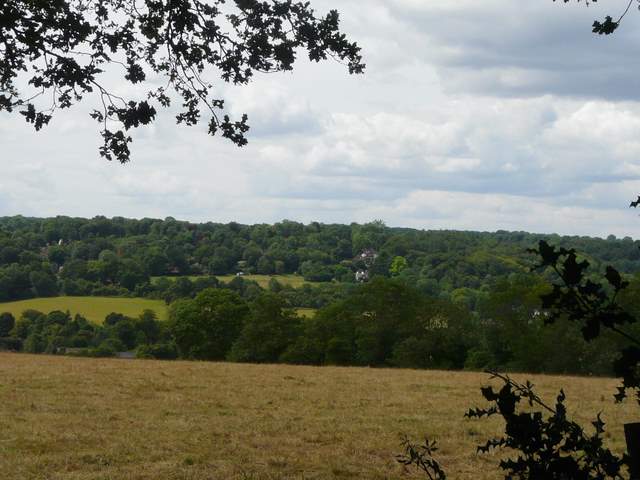
Looking across the Chess Valley towards Chesham Bois from Green Lane
Near the end of Green Lane, approaching White End Park farm