Pete's Walks - Bledlow and Radnage (page 1 of 2)
If you are considering walking this route yourself, please see my disclaimer. You may also like to see these notes about the maps and GPX files.
Google map of the walkDownload GPX file of the walk
I did this 8 mile circular walk on Saturday, 9th October 2010. Almost half of this walk was new to me, largely the section from Bledlow to Radnage - the rest of the route was largely along part of the familiar route of the Chiltern Way, with a nice diversion that took me over Lodge Hill.
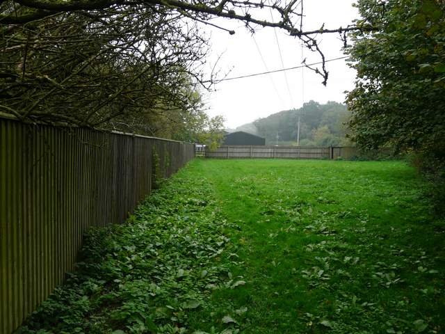
I didn't start this walk until about 10.50am. I only wanted to walk for about 3 hours as I was breaking in some new orthotics (special insoles) so there was no need to start early, and also I'd been running my moth trap (my new toy!) the night before and needed to photograph the moths in it before I could set off to go walking. I parked outside Bledlow Church (grid reference SP 778022) and followed the road through the village to the pub (The Lions of Bledlow), where I turned left along a broad bridleway (Update 14/02/17: when I've repeated this walk I've usually gone straight on along a footpath, which cuts a corner from two bridleways). After a hundred yards or so I turned right, following a bridleway along a good track between hedges towards the tiny hamlet of Hempton Wainhill (I've only just learnt it's name from looking at the map). Over to my right, I heard and then saw a steam train, running on what I've since learnt is the Chinnor and Princes Risborough Railway.

Bledlow

The bridleway from Bledlow to Hempton Wainhill, after I turned right
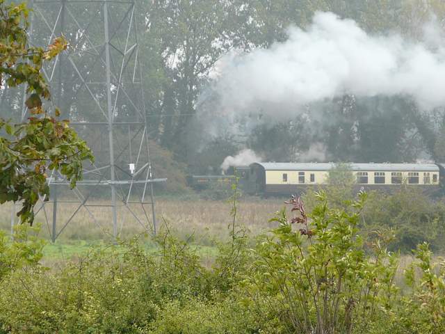
Steam train on the Chinnor and Princes Risborough Railway
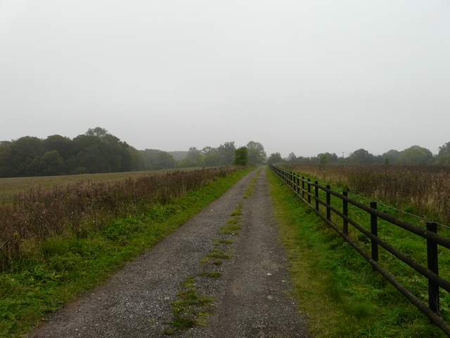
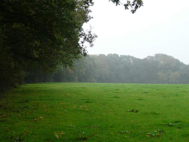
I stepped onto the verge to let a car pass, and as I stepped back onto the track a Red Kite appeared low overhead. I passed between the two or three cottages of Hempton Wainhill (briefly on the Ridgeway path for a few yards), then turned left on a bridleway climbing the wooded slopes of Chinnor Hill. I was now entering new territory. Presumably this is a very old path as it has worn a deep groove in the hillside, there being a steep bank on my right that was above my height. I stuck to the bottom of the groove, but the four or five people I met coming the other way used the drier path along the top of the bank. At the top of Chinnor Hill I passed through a more open area, with a view over Chinnor and part of the Vale of Aylesbury. Unfortunately it was a grey and rather misty day, so the view was very limited. I then reached a car park and the end of a lane that I followed for a few hundred yards to reach a minor road.
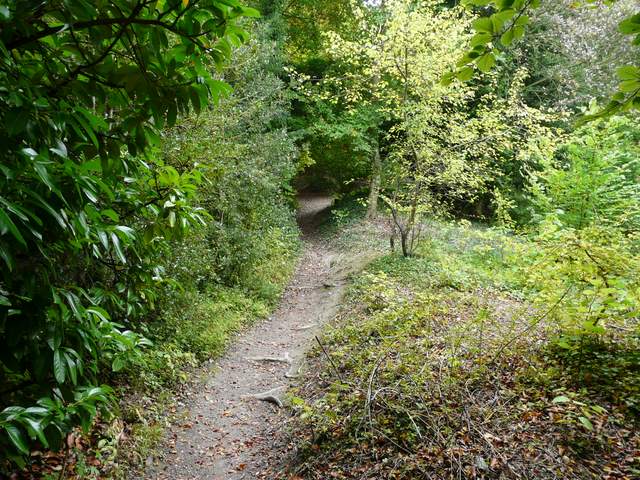
The start of the bridleway from Hempton Wainhill, heading up Chinnor Hill

The bridleway from Hempton Wainhill, heading up Chinnor Hill - not the high bank on the right
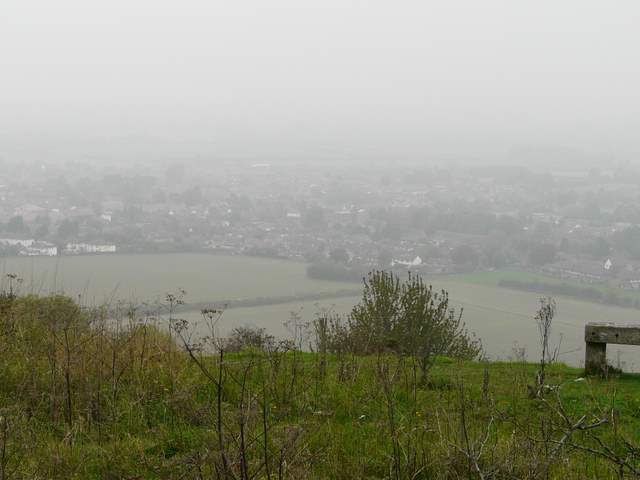
A misty view over Chinnor from Chinnor Hill

The bridleway on top of Chinnor Hill
Near the start of the lane on Chinnor Hill
I turned left along the road for a couple of hundred yards, then took a path on the left by Woodlands Farm. This passed through a couple of small enclosures and through another farmyard before continuing along the farm drive to rejoin the road. I went right for about a hundred yards to a sharp bend, where I took another path on the left. This followed the left edge of a huge cattle pasture, starting to descend downhill. It passed through a small wood, before continuing downhill through another huge cattle pasture - I could see the cows away to my right at the foot of the slope. I couldn't remember the last time I'd had to tread carefully to avoid fresh cowpats, it was certainly many months ago!
Start of the footpath from Woodlands Farm
The path continuing along a farm drive
Start of the path descending towards Radnage
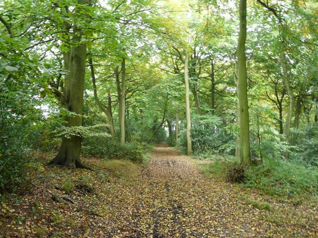
The small wood along the path descending towards Radnage

The path descending towards Radnage
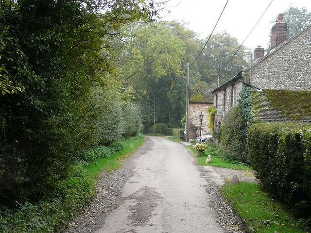
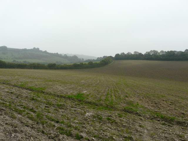
Near the foot of the slope the path crossed a ploughed field, beyond which I turned left along a bridleway running between hedgerows. After half a mile or so this joined a tarmac drive from a farm, before reaching a bend in a lane on the edge of Town End, one of the several sections of the village of Radnage. I went straight on here, but soon turned left onto a footpath that crossed a narrow meadow to reach Radnage church.
The path to Radnage
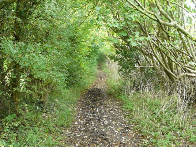
Bridleway heading towards Radnage

Approaching Radnage church