Pete's Walks - West Wycombe, Hughenden, Speen (page 1 of 3)
If you are considering walking this route yourself, please see my disclaimer. You may also like to see these notes about the maps and GPX files.
Google map of the walkDownload GPX file of the walk
I did this roughly 11-mile walk on Saturday, 30th October 2010. It was a repeat of a walk I did in April, but in the opposite (anti-clockwise) direction.
PLEASE NOTE: The very large car park in West Wycombe used to be free. When I came here on 15th January 2022 I found it is now a pay and display car park, only free if you stay less than one hour and costing £4 if you stay more than 2 hours. I think you have to pay by credit card, I don't think the machine takes cash.
I set off from the village car park in West Wycombe (grid reference SU 826947) around 10am, turning right from the car park entrance and then turning left at the end of the road to follow the narrow A40 through the old houses of West Wycombe towards High Wycombe. At a roundabout I crossed over, went a couple of yards left and took a narrow lane, which soon passed under a railway line, and then I took a footpath on the right. This led uphill across a very large meadow (I kept left at an apparent fork in the path) to a corner of Branch Wood. I soon reached a path junction in the wood, where I turned left, then kept left again at another junction. The lengthy path through the wood was quite colourful in places, and I was already enjoying the magnificent autumn colours of the trees. I ignored several paths going off either side, and kept left at an apparent fork Eventually I reached a path T-junction (an unofficial path continued straight on), where I turned right. This path soon ran between a school on my left and garden fences, ending on a street in the village of Downley.

West Wycombe

Looking back to West Wycombe from the edge of Branch Wood
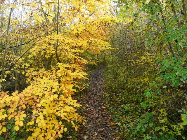
Path through Branch Wood
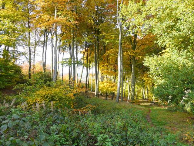
Branch Wood (the path shown here is an alternative route I could have taken from West Wycombe)
I turned left, and then immediately passing the entrance to the school forked left through a metal kissing-gate onto a public footpath. This then went past a pond on the right then followed the edge of a meadow or paddock. A few yards further on it joined a track which I followed a short way to a street. Here I turned left for maybe fifty yards, before turning right down Moor Lane. I next took a bridleway on the right, which soon enter another colourful wood, Common Wood. On the far side, the bridleway continued on between hedges and fences with green pastures either side, heading towards more woodland surrounding Hughenden Manor (once Benjamin Disraeli's home, now a National Trust property). The bridleway led up through the trees, and then I passed close to the grand house itself (on my right) as I followed a drive through its outbuildings. I spotted my first Red Kite of the day as I then took a path going slightly right from the drive, heading downhill through the grounds to reach Hughenden church. Beyond the church I rejoined the drive. I crossed a small stream as I reached the entrance to the estate and a surprisingly busy road.

Moor Lane, Downley
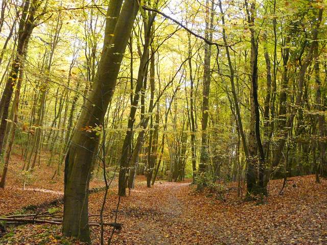
Bridleway through Common Wood, Downley
The bridleway between Common Wood and Hughenden Manor

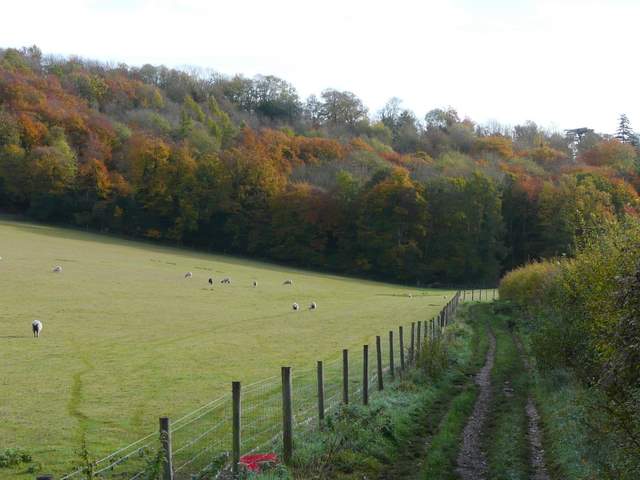
View from the grounds of Hughenden Manor - the path to Cryers Hill follows the hedge at the bottom of the ploughed field, heading left to the woods
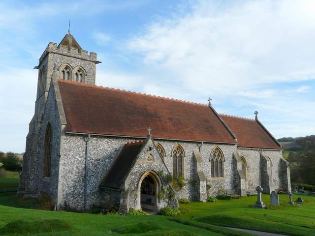
Hughenden church

Stream in the grounds of Hughenden Manor
Across the road a bridleway (named Church Lane on the map) headed towards more woodland, but I soon turned off it, going left on a footpath and following a hedge line with a large field of stubble on my right. The path continued round the distant field corner, then went left again, now enclosed between hedges either side that prevented any views. Further on, there was a fence on my left with large gardens behind it, and more trees on the right. The path then passed a meadow on the left, with views to colourful woodland beyond. A little further on I came back to the road I'd crossed earlier, as it entered the village of Cryers Hill.

This bridleway is called Church Lane on the map - the path to Cryers Hill soon turns off it, going left

The path to Cryers Hills - the path turns right in the field corner, then goes left, between the hedges separating the ploughed field from the green fields to its left

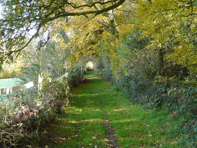
The path to Cryers Hill
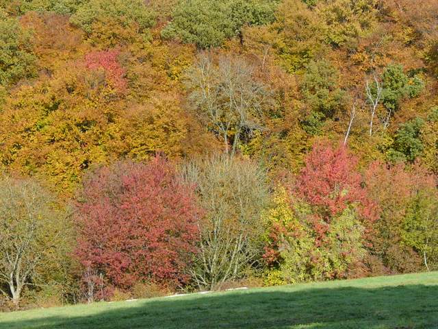
Autumn colours near Cryers Hill
Approaching Cryers Hill