Pete's Walks - Hambleden, Frieth, Stonor (page 2 of 3)
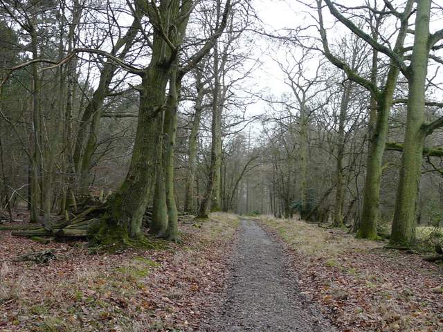
I turned left and walked through Fingest, passing between the Chequers pub on my left and the very impressive Norman church with its massive twin-gabled tower on my right. When the road started to turn slightly left, I continued straight on along a path going slightly uphill past gardens and then into another wood where I turned right at a path junction. After crossing the lane to Ibstone (which I'd driven down earlier), the path now continued through bushes and scrub, skirting round the hill on which Cobstone Mill stands (to my right). Over a stile, the path dropped downhill through a meadow to reach a path junction on the edge of Turville, where I went a few yards left to reach the centre of the village.
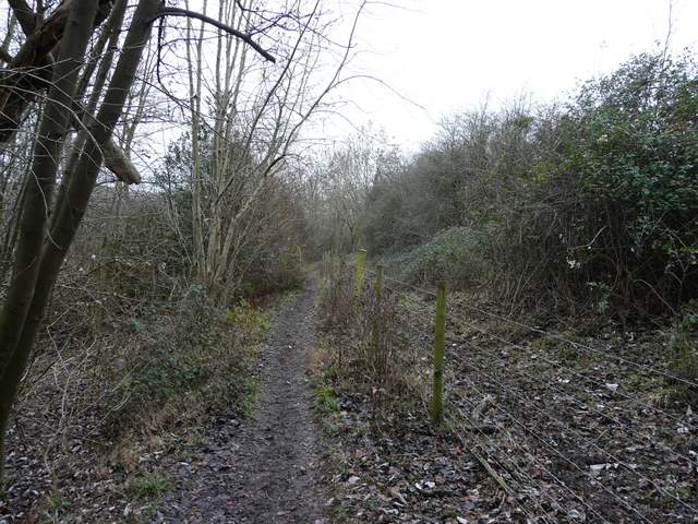
Path between Fingest and Turville
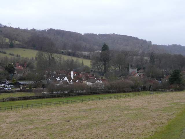
Approaching Turville
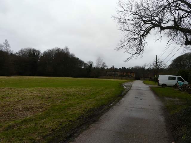
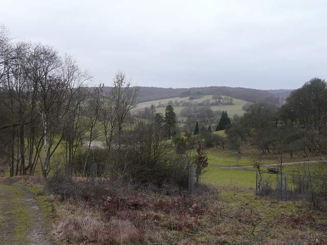
I crossed over the main street in Turville, with the pub to my left and the church to my right and went down the street opposite. From the end of this street a path led southeast, initially between hedges either side and then following a long hedgerow on the right. Across a lane, the path started rising uphill, steeper than I remembered (I'd been following part of the Chiltern Way since just before Fingest Wood, and would follow it as far as Stonor). It continued uphill through a small bit of woodland, then the gradient eased as the path ran between the wooden fences of several paddocks as I approached Southend Farm. A short lane then led into the hamlet of Southend (like Northend, it takes its name from its position within the parish of Turville).
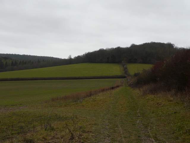
Path from Turville to Southend
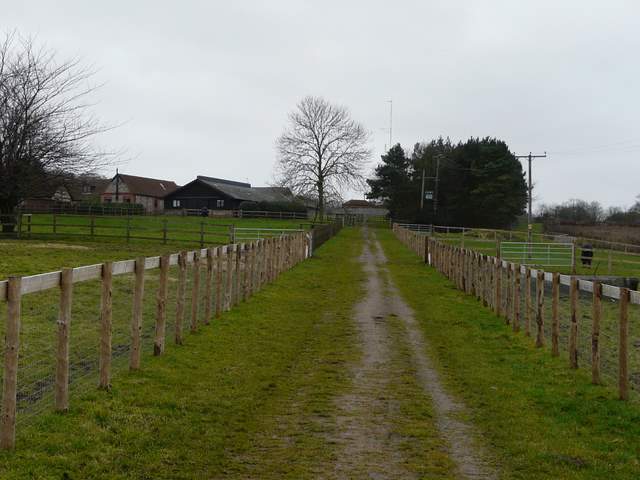
Approaching Southend Farm
Southend
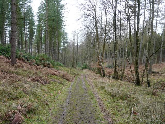
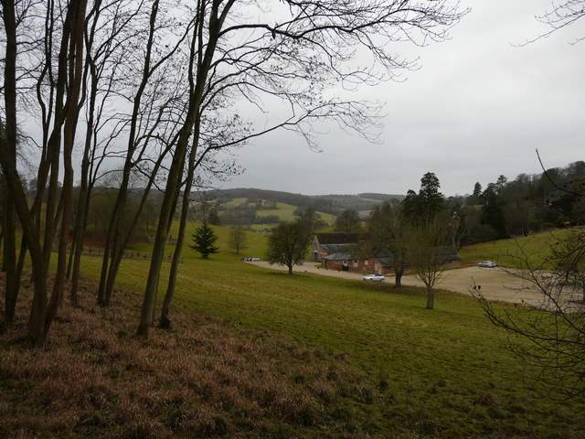
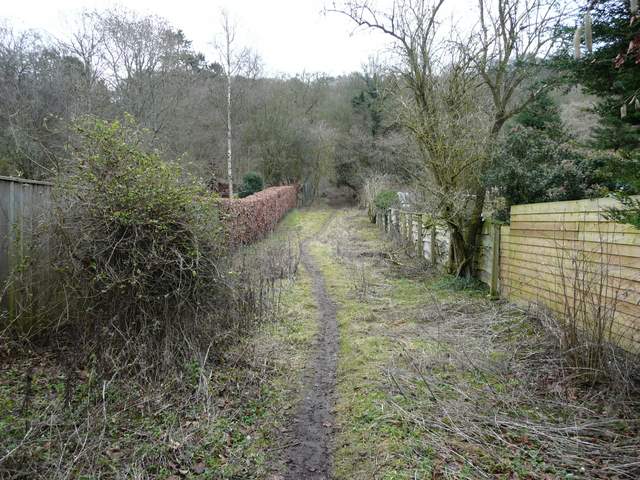
I turned left at the end of the lane, then turned onto a footpath that started beside the last cottage on the right. This footpath led steadily downhill through a large wood to reach Stonor Park, the deer park surrounding Stonor House. As always it was then a delightful section following the lengthy footpath through the park, though again the views (chiefly towards Pishill) were far from their best on this very grey day.
Near the start of the path from Southend to Stonor
Path to Stonor
The path just after entering Stonor Park (the deer park around Stonor House)
Stonor Park
Stonor Park
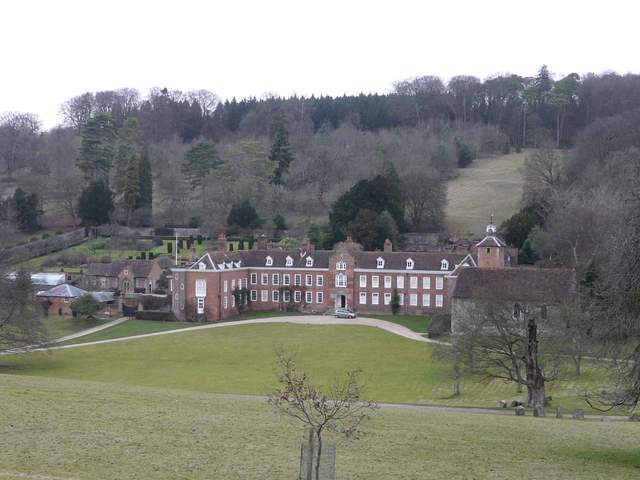
Stonor House (and chapel)
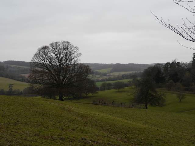
Stonor Park, looking towards Pishill
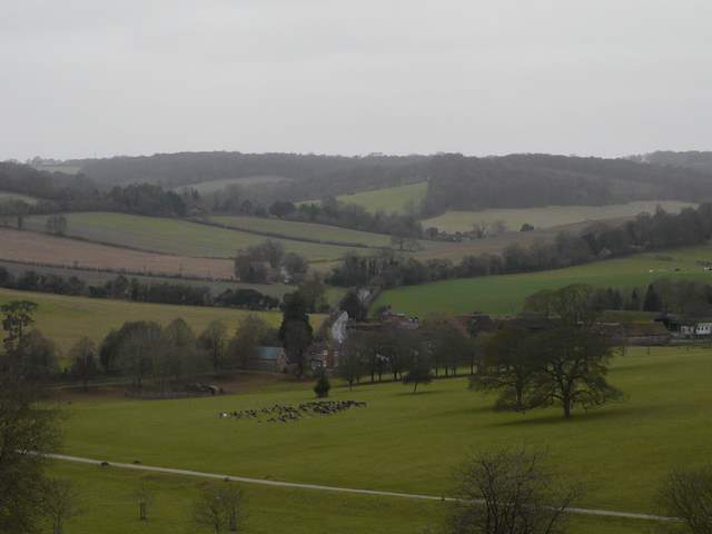
Close up from Stonor Park looking towards Pishill (note the herd of deer)
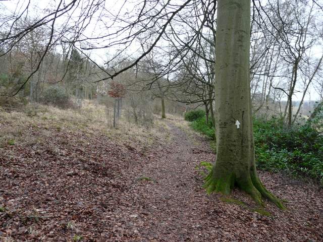
At the end of the path through Stonor Park I turned left and followed the road through Stonor for maybe quarter of a mile. A bridleway then went left, initially between gardens and then following the fence of the deer park on my left. This was a long and steep climb (by Chiltern standards, obviously!), the gradient easing a bit after the path turned half-right. I was really puffing now - I really need to do something about my weight and fitness! I was very relieved to reach the top of the 300ft of uphill, at a bridleway junction just north of Coxlease Farm.
Start of the path from Stonor to Coxlease Farm
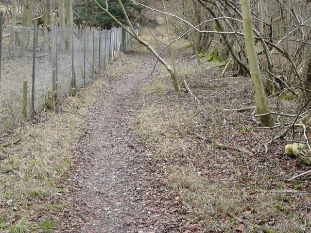
The path to Coxlease Farm, beside the fence around the deer park