Pete's Walks - Coombe Hill and Great Kimble (page 3 of 4)
The path through Ninn Wood levelled out, and this was a pleasant section through mainly beech trees. I then got 'temporarily misplaced' - the map showed the next path junction as a straightforward crossroads, but it was actually quite confusing with a couple of paths seeming to come in from the right. I carried straight on (or at least thought I did!) but realised something was wrong when an unexpected path went off on the right, and the path I was on was marked as a bridleway rather than a footpath. I decided to carry on anyway, but as I approached the next junction about 100 yards further on, I realised where I was (that junction is on my Coombe Hill and the Hampdens walk). So I retraced my steps to the crossroads. In fact I should have gone a few yards left on the crossing bridleway, and then continued ahead on a path marked by a yellow arrow on a tree.
I was now in Sergeant's Wood, which I've visited before but never on this particular path. After about another half mile of woodland walking, I reached an isolated dwelling named Solinger House on the map.
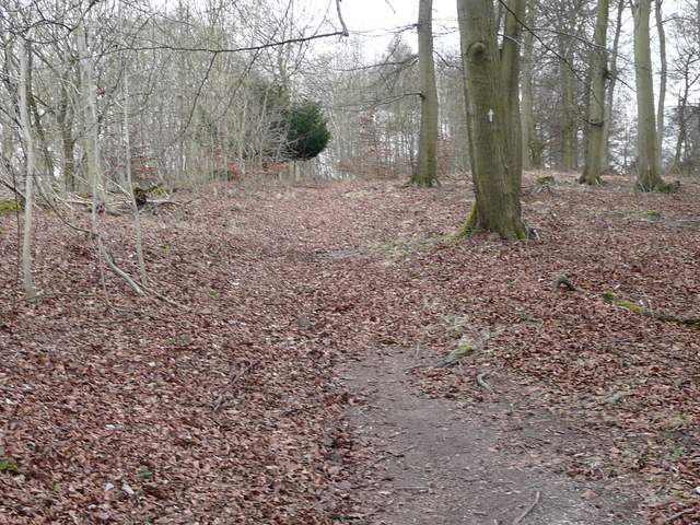
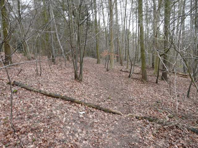
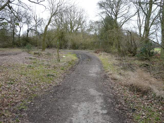
Near the top of the hill in Ninn Wood
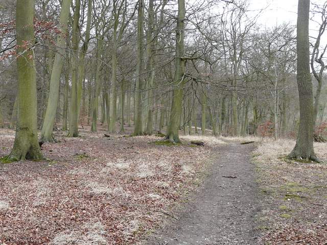
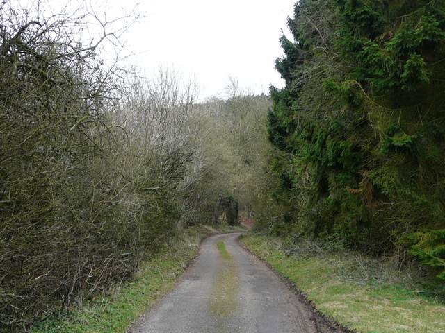
The path in Ninn Wood
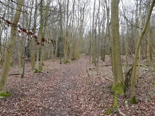
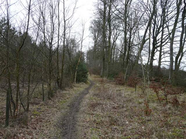
The path in Sergeant's Wood
The path in Sergeant's Wood
The path now followed the tarmac drive from Solinger House. I stayed on the drive where it turned left at a path crossroads, and again where it turned right as another path came in from the left (I used that path once on a walk I did from Pulpit Hill).
The drive from Solinger House
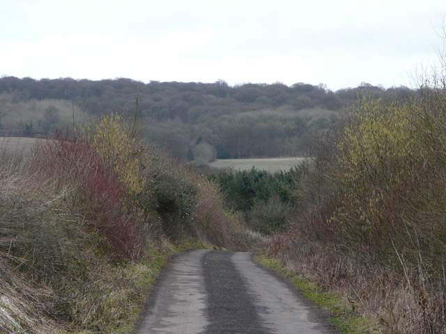
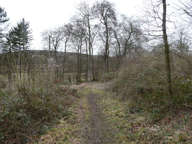
The drive from Solinger House, looking across Hampden Bottom to Hengrove Wood
The drive from Solinger House
The drive ended at the minor road that runs through the valley of Hampden Bottom (it starts at Butler's Cross, a couple of miles to my left). I crossed over and took the drive to Dirtywood Farm. The path has been diverted to go round three sides of the enclosed gardens here, and then continues uphill to reach Widnell Wood. I initially failed to see a yellow arrow on a tree (that was exactly where the map showed the path should be!) but was soon plodding gently uphill through the trees, bearing slightly right. When I came to a path junction, I decided to deviate from my planned route - instead of continuing on to Little Hampden on paths I'd walked once (possibly twice?) before, I turned sharply left on a path that was new to me, which continued northwards through the wood.
The path to Dirtywood Farm and Hengrove Wood
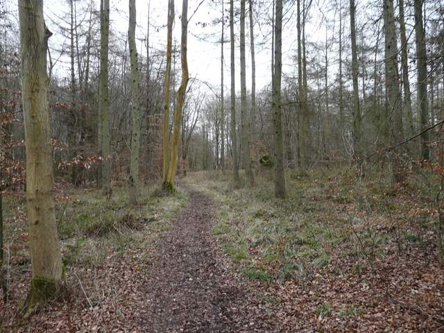
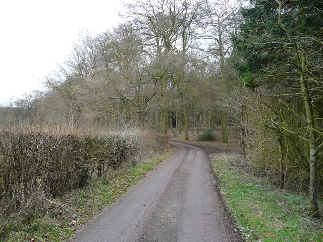
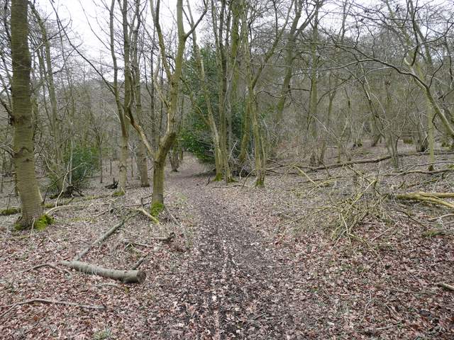
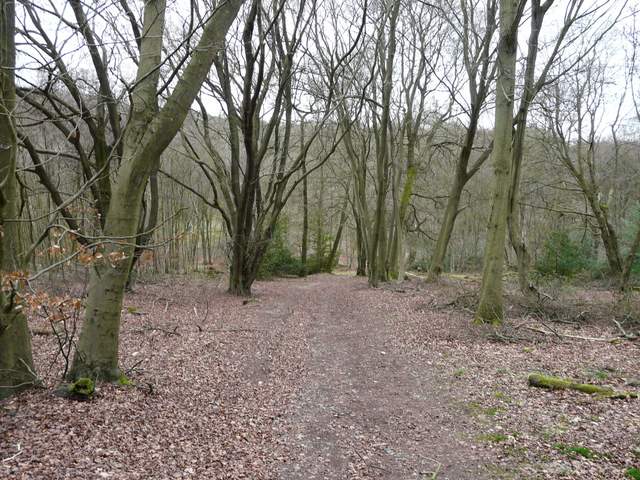
The path to Little Hampden in Hengrove Wood
The path going north through Hengrove Wood
Just after I turned right in Hengrove Wood
The path descended very gradually down the slope I'd just come up, eventually reaching a path T-junction where I turned right (I was now definitely in Hengrove Wood). The path soon turned left then immediately right (a path goes straight on here, not shown on the OS map and not a public right of way). I now had to go back uphill through the wood, soon keeping right at a path junction. It was fairly steep here but only for a short distance. The path emerged by the end of a lane that just peters out here, about half a mile northwest of Little Hampden.
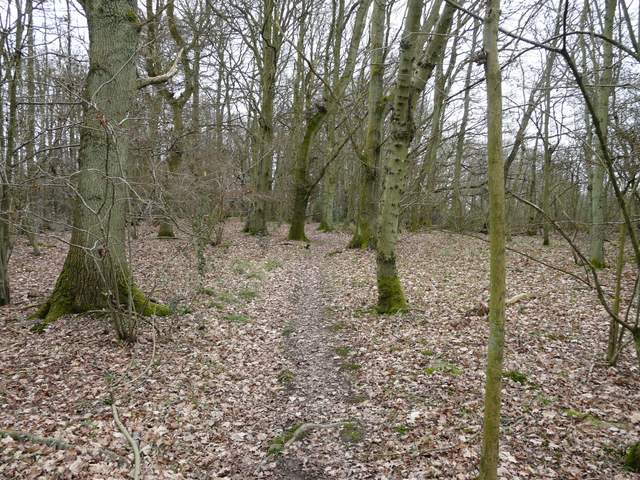
Hengrove Wood
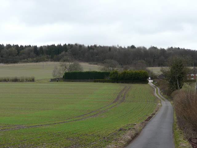
End of the lane near Little Hampden
I turned right for a few yards to a junction at the end of the old lane, where I turned very sharply left, then after a few yards forked right. This path headed just east of north, just inside the eastern edge of Chisley Wood. By the time the field to my right ended and was replaced by yet more woodland, I was in Goodmerhill Wood (the South Bucks Way passes through the other side of this wood).
The path just inside the edge of Chisley Wood
The path in Goodmerhill Wood