Pete's Walks - Bledlow Ridge, Bradenham, West Wycombe (page 1 of 5)
If you are considering walking this route yourself, please see my disclaimer. You may also like to see these notes about the maps and GPX files.
Google map of the walkDownload GPX file of the walk
I did this 13.5 mile circular walk on Sunday, 18th December 2011. It was a repeat of a walk I did in February 2010, but this time I did it in the clockwise direction. As on that previous occasion, there was a little bit of snow on the ground - sometime I'll do this walk on a fine hot summer's day!
I parked at my usual spot in a cul-de-sac in Bledlow Ridge (Grid Reference SU 796978), and started walking at about 10.05am. I walked northwestwards along the road through the village until I reached the point where the route of the Chiltern Way crossed the road (green fingerpost), when I turned right to follow that route northwards out of the village. The path went along a gravel drive, then continued between a fence and a hedge on the right. When I came to a stile I turned right on a path that followed the right edge of a field of rough grass (with a few small enclosures in it) to reach a metal kissing-gate. After going through this, the path dropped steeply downhill through a huge empty sheep pasture (aiming at the right end of some conifers), then at the bottom of the slope the path went over a stile and turned left to follow a fence line to Lodge Hill Farm.
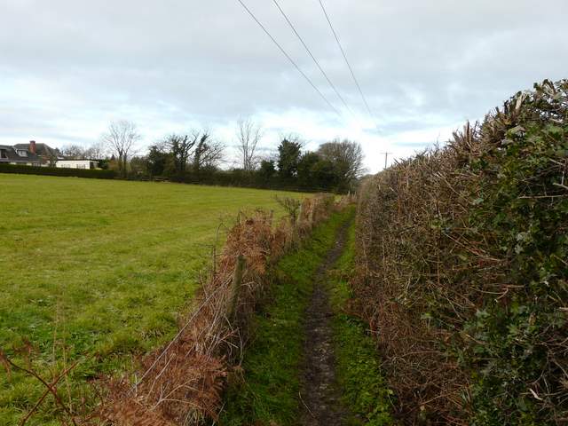
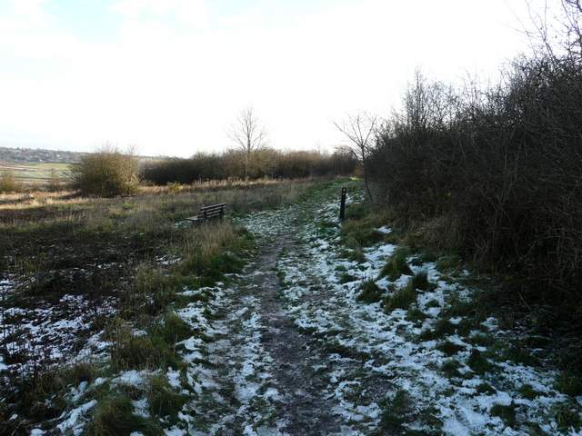
The Chiltern Way route, heading north out of Bledlow Ridge
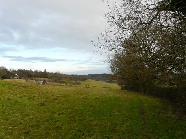
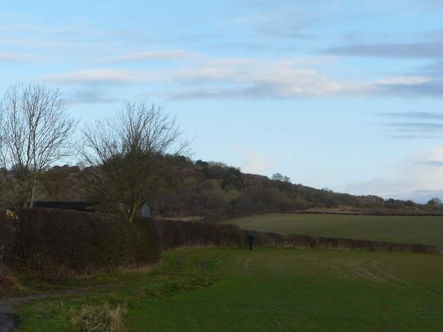
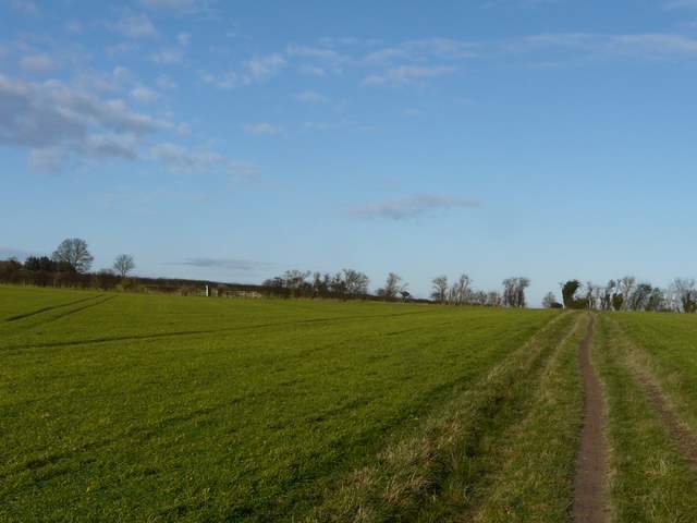
The start of the path down to Lodge Hill Farm
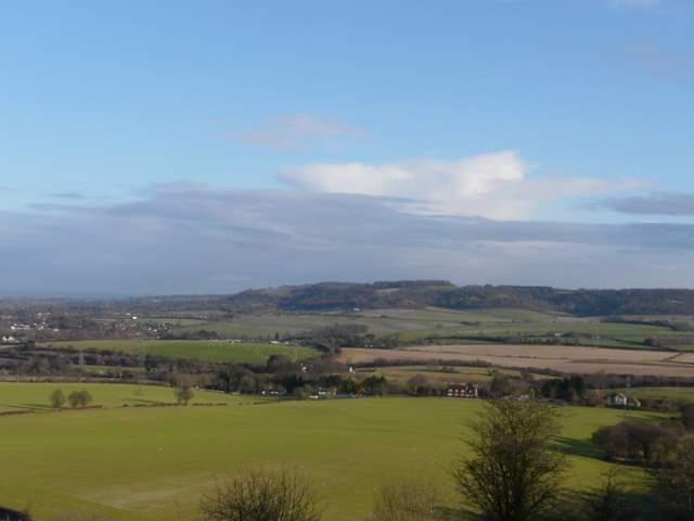
The path down to Lodge Hill Farm, looking across the Saunderton Valley towards Whiteleaf Hill
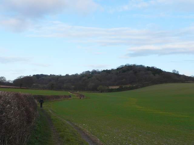
Approaching Lodge Hill Farm, with Lodge Hill behind
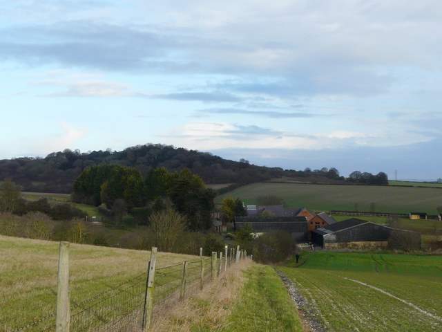
I turned right along the farm drive, then turned left at the end. A bridleway now ran beside a thick hedge on my left. In the field corner I turned right for a few yards, then turned left again at a bridleway junction, this bridleway now running northwest with Lodge Hill on my right. The bridleway continued with tall hedges on either side for some distance, then started across a flat arable field. I turned sharply right where a footpath crossed the bridleway in the middle of this field, this path turning right after leaving the field and continuing to the top of Lodge Hill.
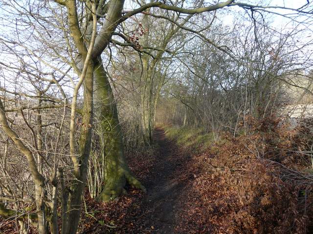
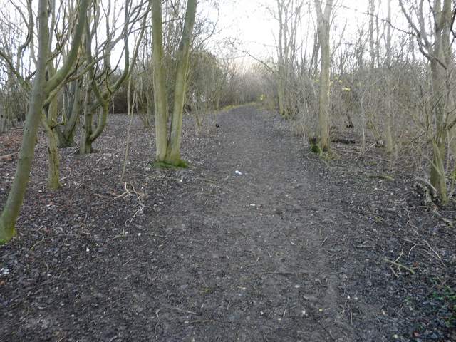
The path going north from Lodge Hill Farm
The path going north from Lodge Hill Farm
The path immediately southwest of Lodge Hill
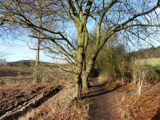
The path immediately southwest of Lodge Hill
The path just before I turned right for Lodge Hill
The path up Lodge Hill
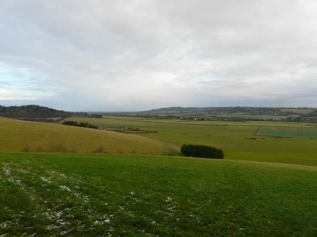
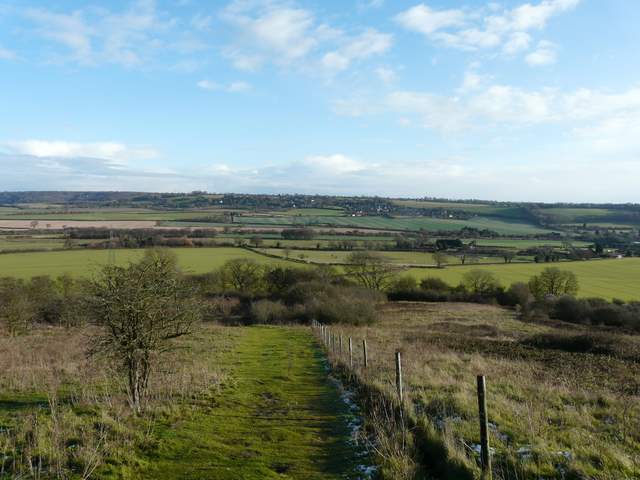
It was very sunny so the views from lodge Hill were very good today. Looking north I could se a large expanse of the Vale of Aylesbury, while nearer at hand was Whiteleaf Hill and also the adjoining villages of Loosley Row and Lacey Green. I followed the path across the top of the hill, meeting yet more dog walkers - I'd now counted six or seven. The path then started to descend down the hill eastwards into the Saunderton Valley, with the windmill at Lacey Green almost directly ahead of me.
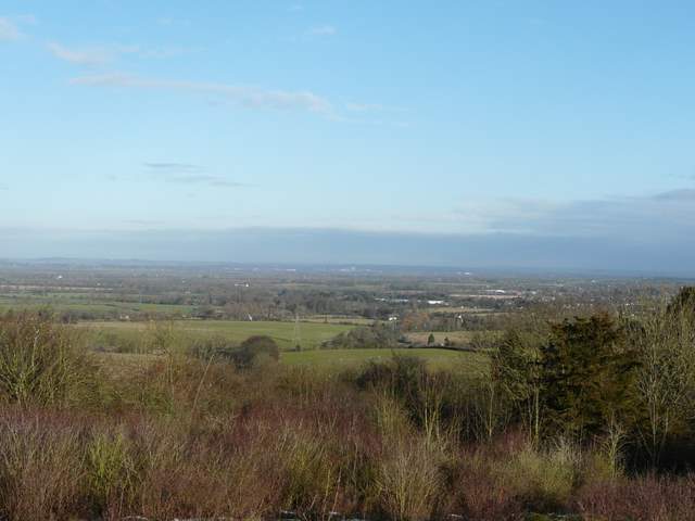
Looking towards Aylesbury from Lodge Hill
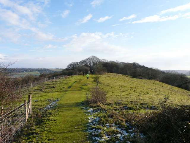
The path along the top of Lodge Hill
Looking across the Saunderton Valley, towards Whiteleaf Hill
The path on the top of Lodge Hill (probably the spot with the most snow on the whole walk)
The path starting to descend Lodge Hill, looking towards Loosley Row and Lacy Green.