Pete's Walks - Hambleden, Frieth, Bovingdon Green (page 3 of 4)
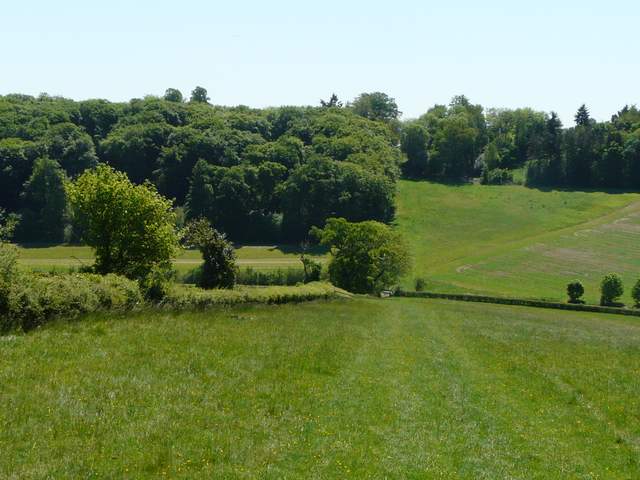
On reaching a path crossroads on the eastern edge of Moor Wood, I chose to deviate from the route I walked last time (I've marked this new bit as Alternative 1 on my Google map). I continued ahead on a path that immediately turned half right and rose steadily up a steep slope, partly grass and partly scrub. At the top of the slope, the path turned further right to continue along through bushes close to the top of the slope. The path turned left for a few yards beside the edge of a wood, before turning right and running along the right edge of a field. Beyond this, I turned right and went downhill along a bridleway through a wood (mainly Yews).
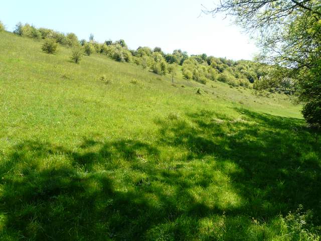
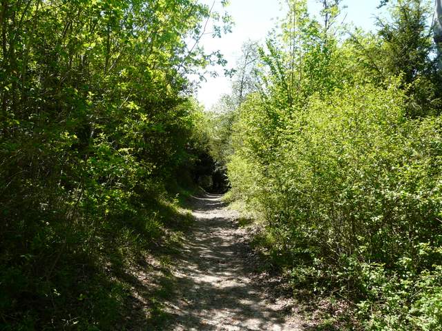
The start of the path up the steep slope beyond Moor Wood (Alternative 1 on my Google map)
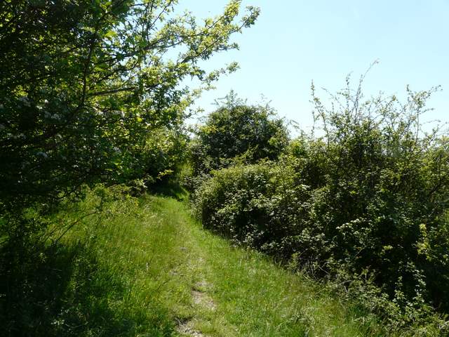
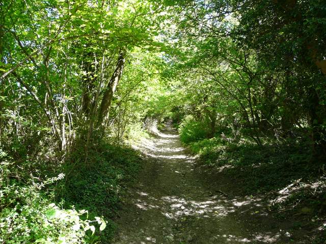
The path along the steep slope east of Moor Wood
The path along the steep slope east of Moor Wood
The path along the steep slope east of Moor Wood
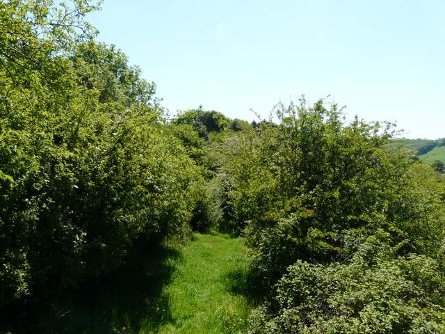
The bridleway that descends towards Bluey's Farm
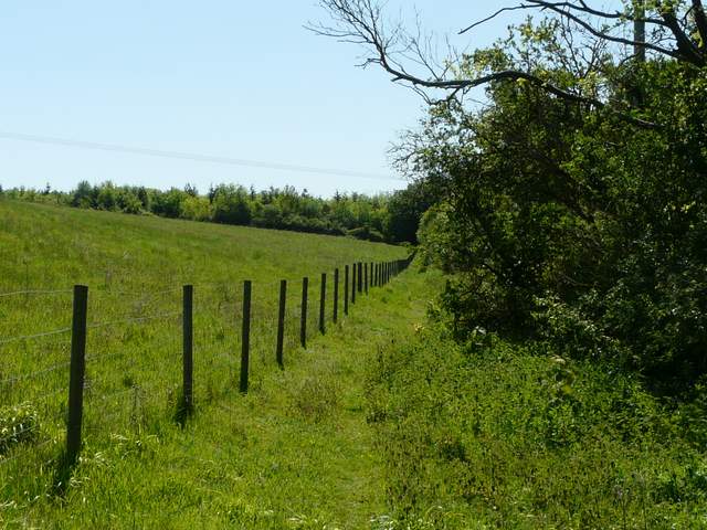
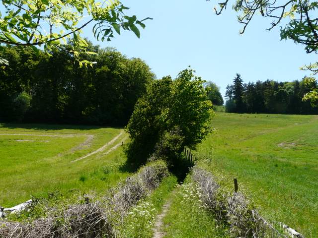
The bridleway took me close to Bluey's Farm, from where a path continued (between a left-hand hedge and a wooden fence) to reach Shillingridge Wood. The path then went on pleasantly through the wood, heading southeast. On leaving the wood, I turned left, on a hedge-lined track that rose quite steeply up another hillside - this soon had me gasping for breath again. The track ended at a lane at the top of the hill, where I turned right and followed the lane to its end at Copy Farm.
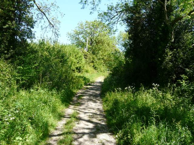
The path from near Bluey's Farm to Shillingridge Wood
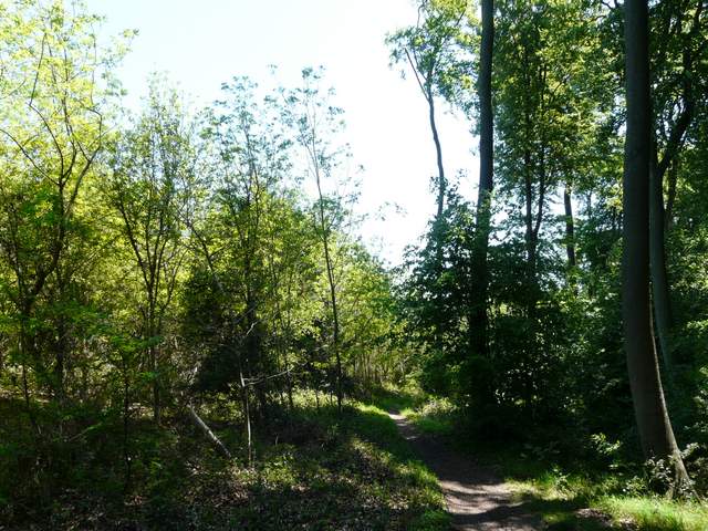
Shillingridge Wood
Shillingridge Wood
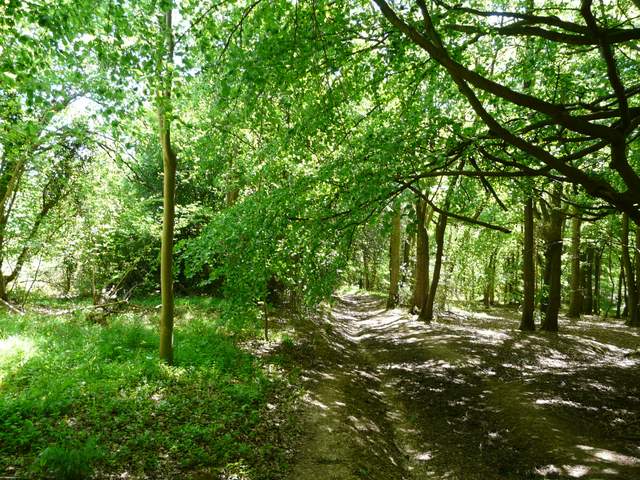
The start of the steep track going northeast from Shillingridge Wood
Near the end of the same track
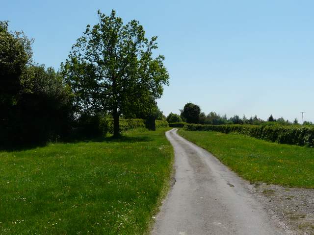
The lane going south to Copy Farm
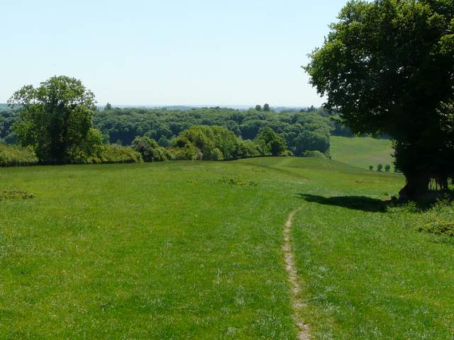
I then took the rightmost of two paths staring at Copy Farm, passing between the farm buildings and going through a gate into a large field that gradually dropped downhill ahead of me. To my right I could soon see across the valley of Mundaydean Bottom, while further on I got glimpses of Marlow and the Thames Valley to my left. At the bottom of the slope I stopped for lunch on a bench by Mundaydean Lane. I then continued in the same direction as before, the path here leading uphill and soon running between tall wooden fences to reach a road in Bovingdon Green. Here I turned left for a while, then turned right into a narrow road with wide expanses of grass either side.
The path just after Copy Farm
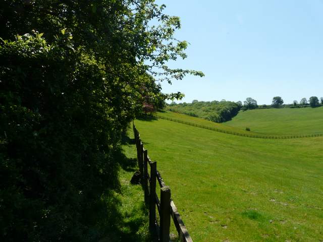
The path from Copy Farm (Bovingdon Green is on top of the opposite slope), Mundaydean Lane runs through the bottom of the valley)
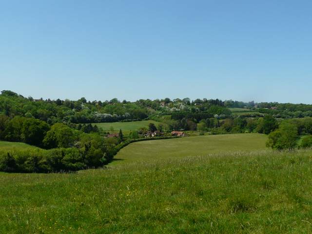
Looking west, over Mundaydean Bottom
Start of the path from Mundaydean Lane up to Bovingdon Green
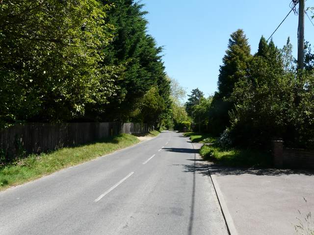
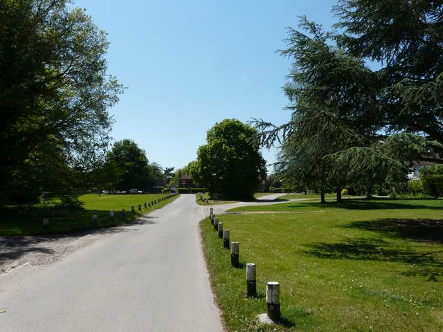
The road in Bovingdon Green
Bovingdon Green