Pete's Walks - Cadmore End, Radnage, Crowell Hill (page 3 of 5)
Just before a pink house on the right, a path went right, continuing uphill through some bushes, then following a hedgerow with a field of green corn on my left. There were good views left over the valley I'd just walked through. At the top of the hill the path left the field and passed a couple of residences on my left, near Andridge Farm. I then crossed a drive and continued on a path going left through a small meadow. Beyond this, the path went through a hedge gap on the left and then descended (initially alongside the hedge on my left) through another field of young green corn . At the bottom of the field I reached a lane called Grangefarm Road opposite some farm buildings
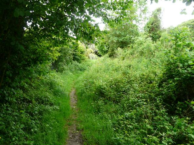
Near the start of the path from Radnage to Andridge Farm
The path from Radnage to Andridge Farm
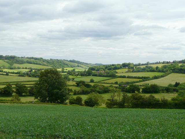
Looking southeast from the path to Andridge Farm, back the way I'd come towards Bledlow Ridge
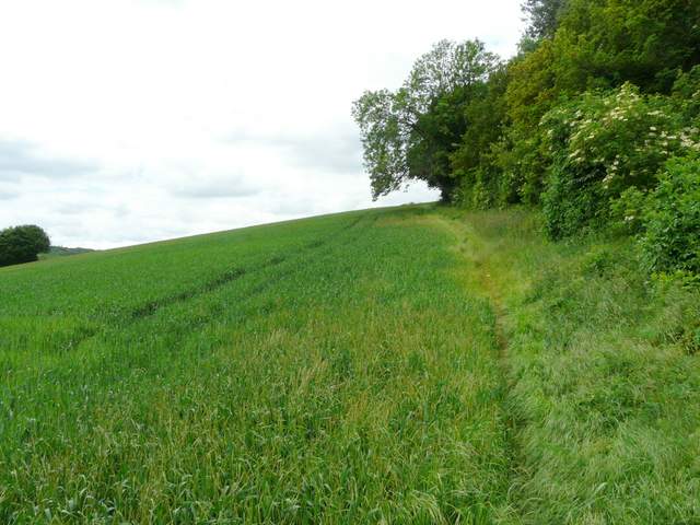
The path descending from Andridge Common to Grange Farm Road
I turned right along the lane. There was a tall hedge on the left that I could not see over, and I was suddenly startled when a Red Kite flew over it, just twenty feet or so ahead of me and only a few feet above me. After a while the surfaced lane became the drive to Grange Farm, while I continued along a muddy bridleway passing left of the farm and running just inside the northern edge of Crowell Wood. As always it was very pleasant to walk through a beech wood like this, though the bridleway was pretty muddy today. After a brief stop to eat my lunch (it was now about 1pm), I continued along the bridleway through the wood, with meadows sloping uphill a few feet to my right.
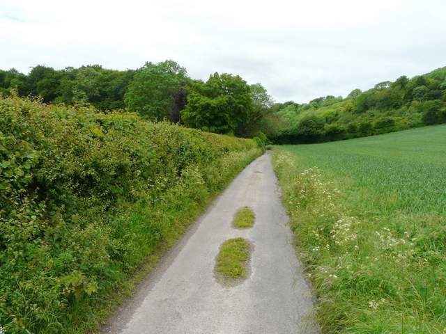
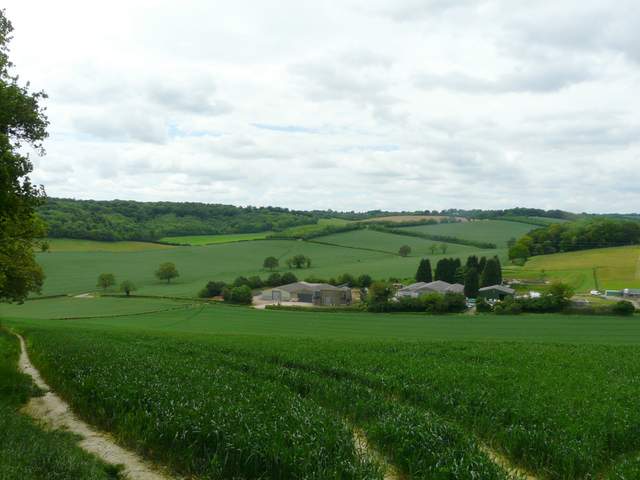
Grange Farm Road, heading towards Crowell Wood
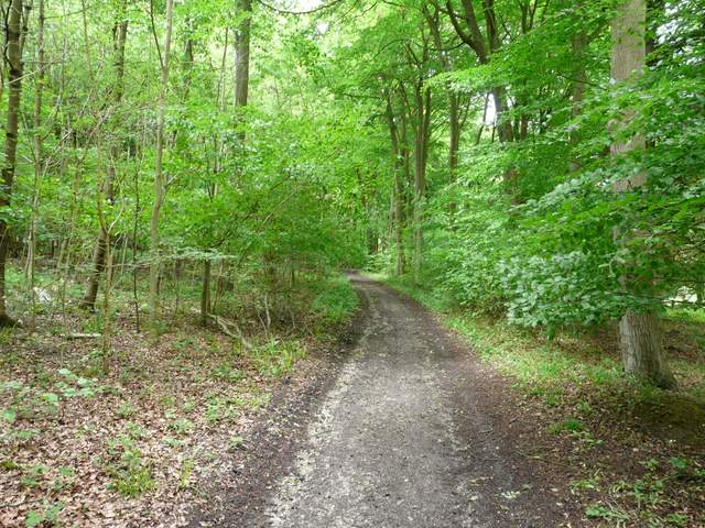
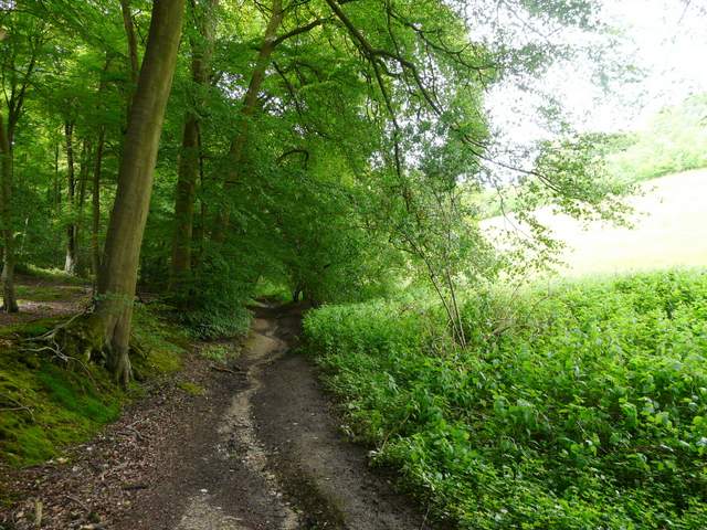
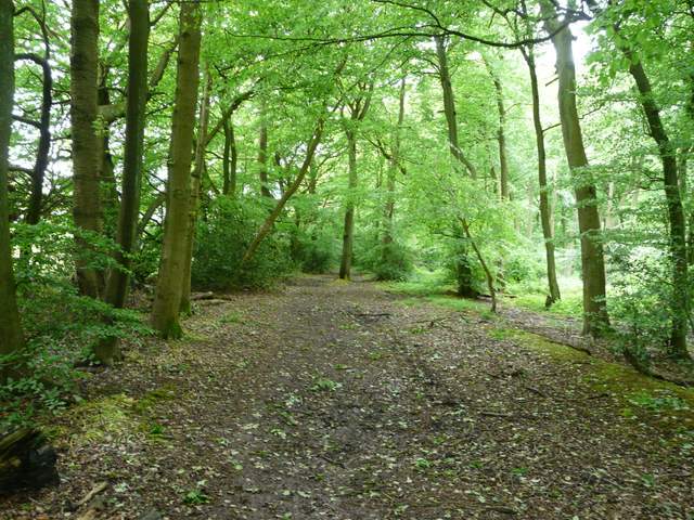
Crowell Wood, near Grange Farm
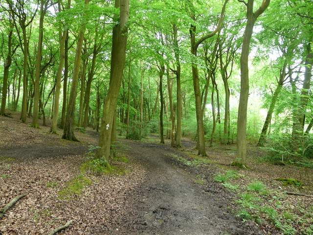
Crowell Wood
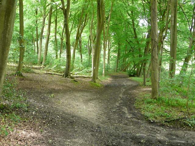
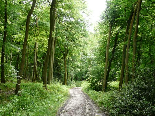
Crowell Wood
Crowell Wood
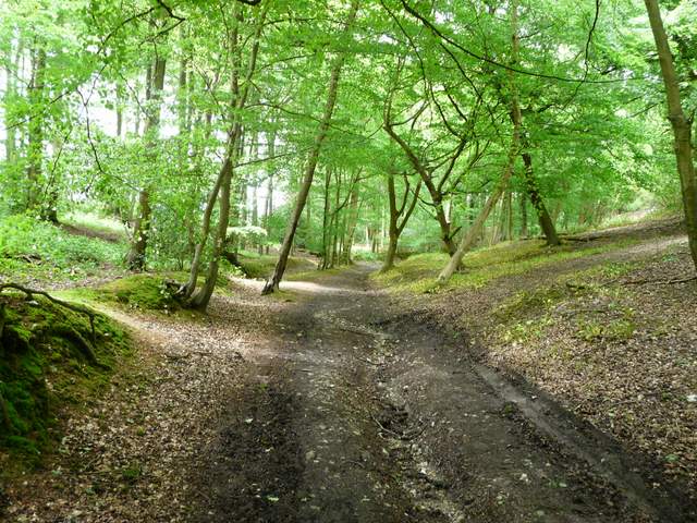
Crowell Wood
At the eastern end of Crowell wood, I turned right along a bridleway that ran uphill - this was an old sunken lane, or 'hollow way', with embankments either side. I was pleased that it seemed less steep than when I'd come the other way, but it was the muddiest section of the entire walk (so bad that I decided I wouldn't want to come this way again in such conditions). As I emerged at Crowellhill Farm, I passed a lady with two children and a pony coming the other way. I turned left, and followed the lane through the hamlet of Crowelhill for about a quarter of a mile, then turned left again back into a wood, this time Crowellhill Wood. The path kept to the left edge of the wood, close to a cow pasture then a corn field, before moving into Kingston Wood and joining a roughly surfaced track (the woods hereabouts take their names from the closely neighbouring villages of Crowell and Kinston Blount, nestling at the foot of the Chiltern escarpment a little to my right here).
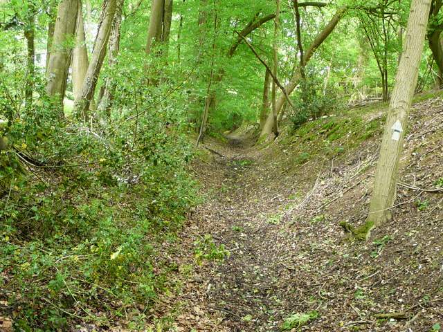
The start of the bridleway from Crowell Wood to Crowell Hill Farm (steeper and muddier than it looks)
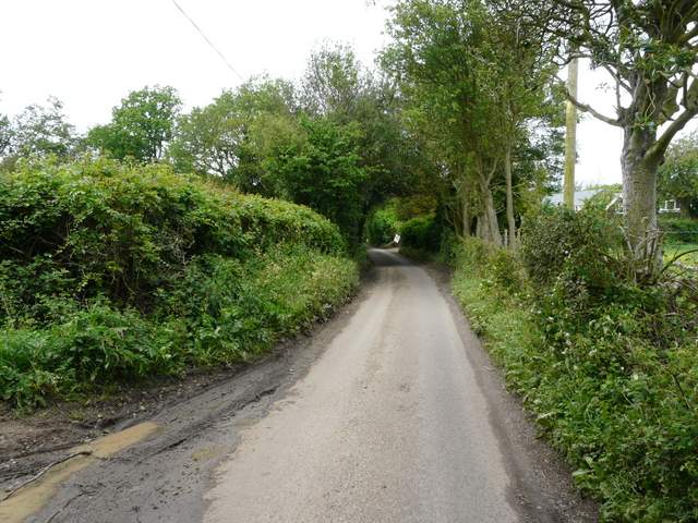
The lane through Crowell Hill
The path along the south-eastern edge of Crowelhill Wood
The path continuing in Kingston Wood
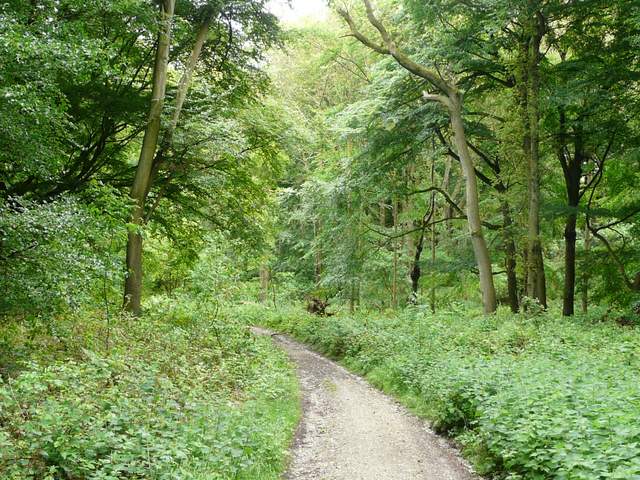
The path continuing in Kingston Wood