Pete's Walks - Stoke Row and Exlade Street (page 1 of 4)
If you are considering walking this route yourself, please see my disclaimer. You may also like to see these notes about the maps and GPX files.
Google map of the walkDownload GPX file of the walk
I did this 10.2 mile circular walk on Sunday, 15th July, 2012. It was the reverse of Walk 19 of my Chiltern Chain Walk, this time I was walking in the clockwise direction.
I parked close to the church in Stoke Row (grid reference SU 678841), and started walking about 10.20am, walking back through the village and soon passing the Maharajah's Well on my left. Just past the Cherry Tree Inn I turned left into Newlands Lane. This twisted right then left, and at the next (left) bend I went straight on into Bush Wood, immediately turning right onto a bridleway. I followed this to a road (the same one going through Stoke Row), and continued along a bridleway on the other side, now in Bear Wood. After about half a mile through the wood I came to a junction, where I went through a gap on my right then immediately turned left onto a footpath, resuming the same south-easterly direction as before. Eventually this path dropped down into a shallow valley to reach a track and a gate next to a roughly surfaced lane.
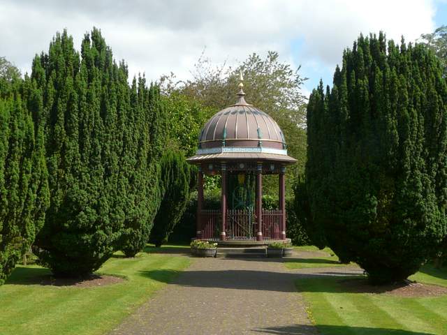
The Maharajah's Well, Stoke Row
In Saxon times, Stoke Rowwas called Stoches Ruh (loosely translated as ‘enclosure in rough outlying place’). It later became Stoke Rewe, from the Norman French ‘Rue’ meaning street. It was only a small hamlet, part of the parish of Ipsden until becoming a separate parish in 1952. Its most noticeable feature is the Maharajah’s Well. This was dug in 1864 as a result of the friendship between the Maharajah of Benares and Mr Edward Anderdon Reade of Ipsden, sometime Governor of the Northwest Provinces. The well is 364 feet deep, and was dug by just two men in a year. The Maharajah also paid for a cottage for the wellkeeper, and a small cherry orchard to provide for the upkeep of the well. The Maharajah had been touched by his friend’s story of a child being beaten for drinking the last water in the house during the time of a drought. Once it had its own water supply, Stoke Row started to grow from a small collection of hovels to a reasonable size village. The well is still functional, but the cherry orchard is now an ornamental garden. As in other parts of the Chilterns, cherry orchards, brick making and chair making (from local beech) all played roles in the village economy. During World War II, about 3 million tent pegs were made here.
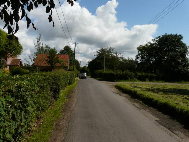
Newlands Lane, Stoke Row
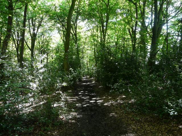
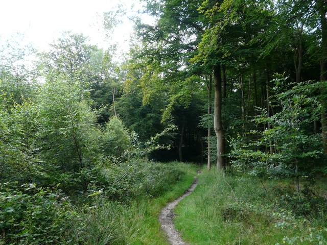
The bridleway through Bush Wood
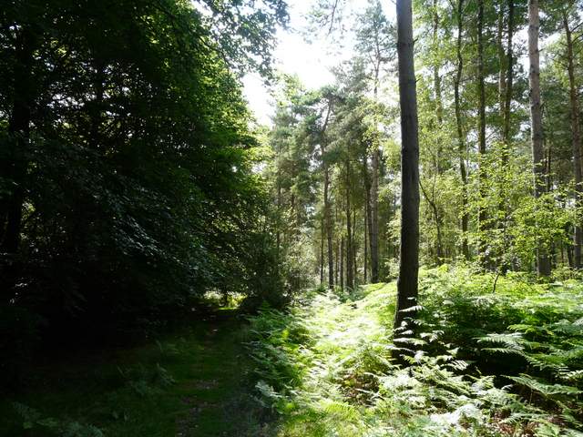
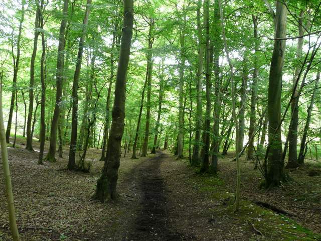
The bridleway through Bear Wood
The bridleway through Bear Wood
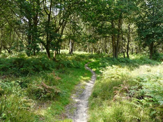
The footpath through Bear Wood
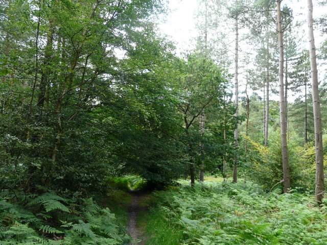
The footpath through Bear Wood
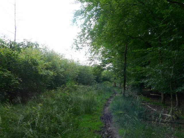
I crossed over the lane and followed a bridleway, now going northeast. The map shows Greyhone Wood to the left, and Greyhone Plantation to the right. I soon spotted a Ringlet here, one of very few butterflies I'd see today other than Meadow Browns. The bridleway initially followed a track, but when this turned left, the bridleway continued ahead as a narrow path through the trees. At the bottom of a wooded valley. I turned right at a T-junction of bridleways. I was now in Oveys Wood, with Greyhone Plantation on my right. After a third of a mile or so, I reached a bridleways crossroads where I turned right again - I would now be following this bridleway south-westwards for several miles. I think I was now in Coldmoor Wood (all these woods join on to one another, and it's not always clear from the map where the boundaries are). After a while I re-crossed the lane I'd crossed earlier, and entered Kingswood Common (basically another wood!).
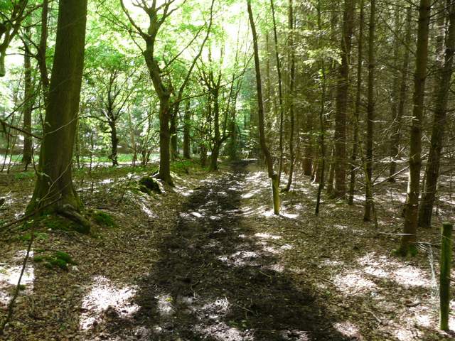
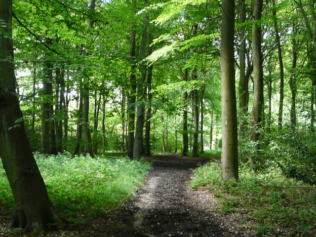
The bridleway through Oveys Wood
The bridleway through Oveys Wood
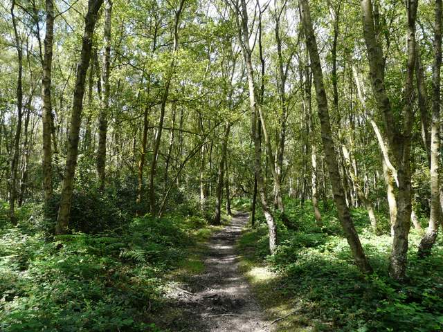
The bridleway through Coldmoor Wood
The bridleway through Coldmoor Wood
The bridleway through Coldmoor Wood, approaching the lane crossing
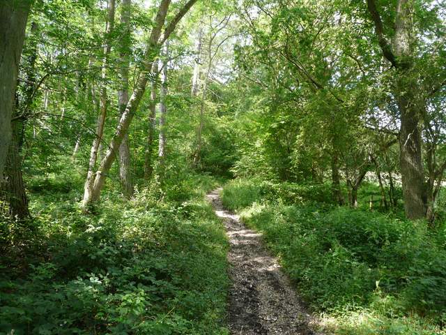
There was an unmarked fork almost immediately, but I correctly took the right fork and soon passed through an open glade that I remembered, so I knew I was on the right path. The trees here were younger and smaller, and there was more undergrowth, so it was a nice variation from some of the other woods so far. On the far side of the wood, I crossed a lane by a cottage to my left, and continued between bushes and trees for a short distance to a road. Across this, the bridleway continued along a drive by another cottage before entering woods once more and reaching the drive to Wyfold Court (a grand Victorian mansion, now converted into apartments, I believe).
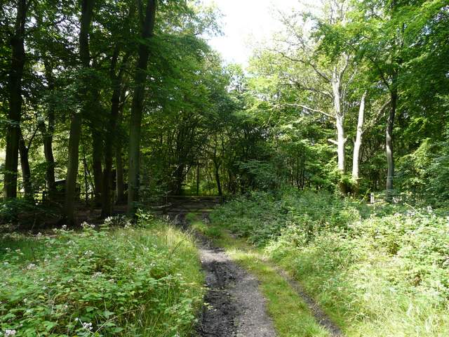
The bridleway through Kingswood Common
The bridleway through Kingswood Common