Pete's Walks - Ashridge and Ivinghoe Beacon (page 3 of 4)
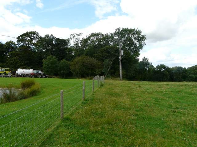
Across Beacon road a drive led on to some cottages and a small reservoir. A path continued to the right of the reservoir, then turned left behind it. The path continued through a meadow, following the edge of Ringshall Coppice on my right. It continued between a new hedge on my left and the coppice, before going through a gate into an empty sheep pasture. The path now gradually left the edge of the coppice and then continued across three further sheep pastures to reach Ward's Hurst Farm.
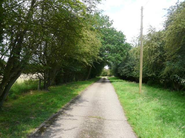
The drive to the reservoir, from Beacon road
The path going west from the reservoir
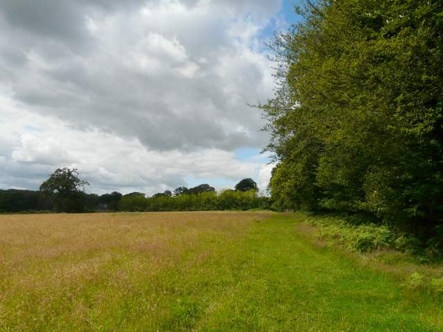
The sheep pastures on the way to Ward's Hurst Farm
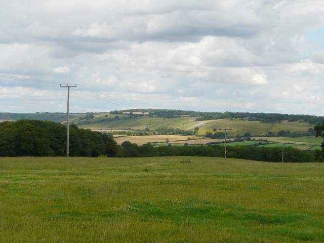
View towards Dunstable Downs and Whipsnade Downs, from Ward's Hurst Farm
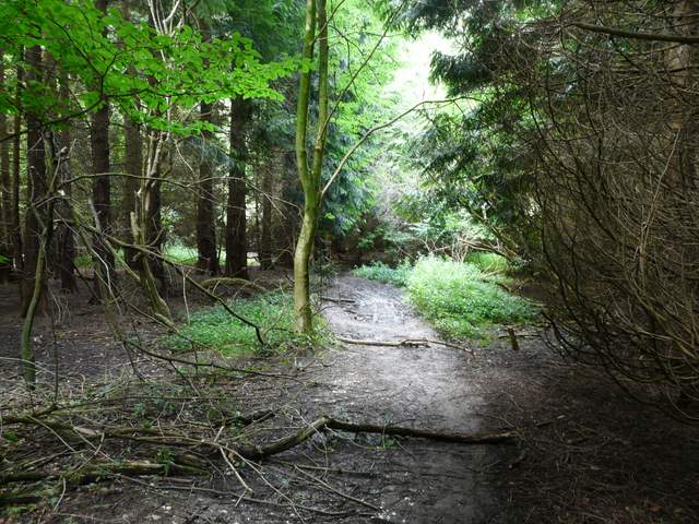
The recently re-routed path now went straight on between two farm outbuildings, then along the edge of another empty pasture for a hundred yards or so before entering another wood. The path was soon dropping steeply downhill, where steps and a wooden railing had been put in (the railing was a bit dodgy in places). At the bottom of the slope the path ran for a few yards close to the edge of the wood before going half-left and weaving its way through an area of dense and dark conifers (the 'spooky' bit of the wood, I always think). Beyond this there was a long section of more usual deciduous woodland.
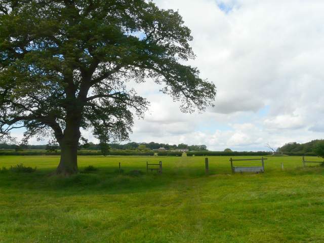
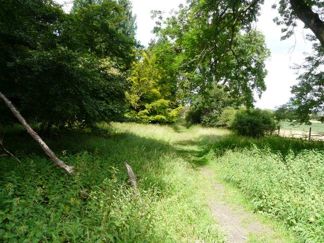
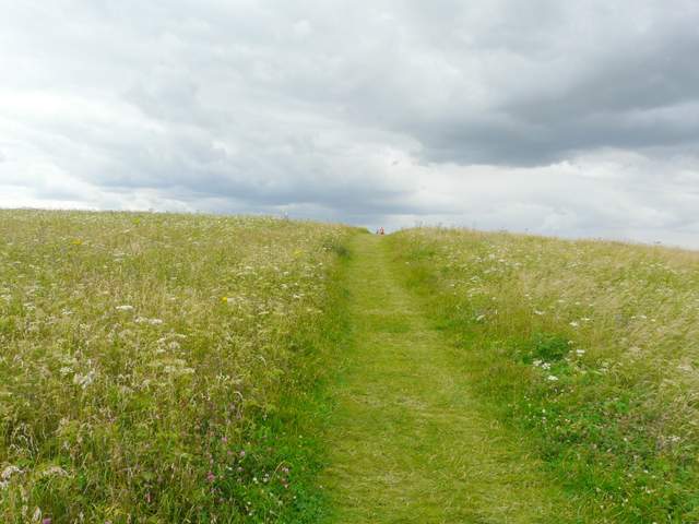
Start of the path from Ward's Hurst Farm
The path descending into the woods north of Ward's Hurst Farm
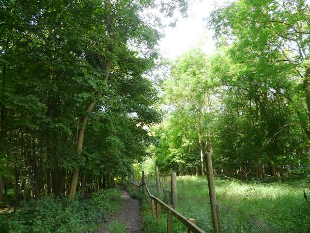
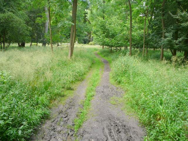
The path through the woods north of Ward's Hurst Farm
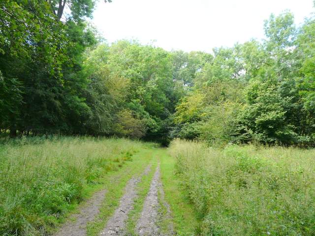
The path through the woods north of Ward's Hurst Farm
The path through the woods north of Ward's Hurst Farm
The path through the woods north of Ward's Hurst Farm
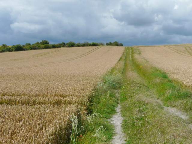
At the end of the wood I continued through open grassland for a couple of hundred yards (the car park for Ivinghoe Beacon was at the top of the steep slope on my left), then turned right. Through a kissing-gate, the path continued beside trees for a short distance before forming a headland between two large corn fields. Ivinghoe Beacon and the grassy ridge connecting it to Gallows Hill were now to my left. Beyond these fields the path continued with a tall hedge on the right, with more corn on my left. At the end of this field I turned left, and followed a chalky track steadily uphill to reach the prominent grassy tumulus (or burial mound) at the end of Gallows Hill.
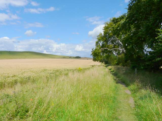
The path going northeast, parallel to Gallows Hill on the left
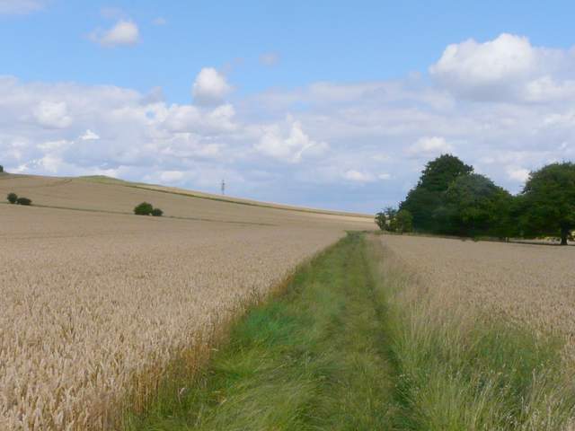
The path going northeast, parallel to Gallows Hill on the left
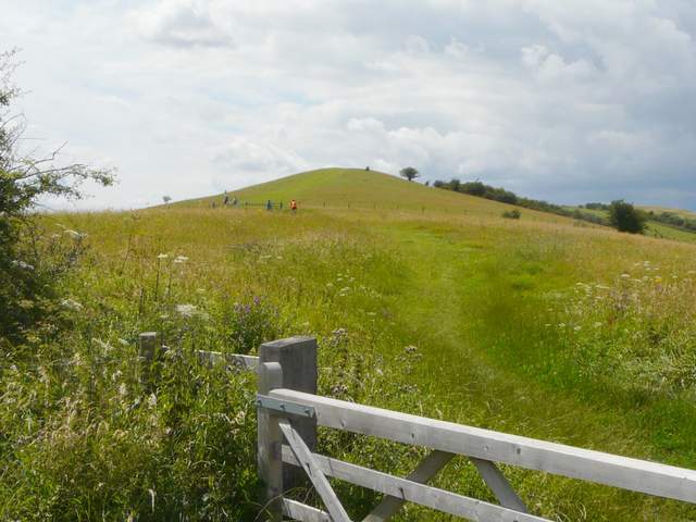
The path to the tumulus at the end of Gallows Hill
By the tumulus I turned left again, and continued slowly but gently uphill along Gallows Hill and the ridge to Ivinghoe Beacon. As always, there were good views out over the Vale of Aylesbury, and looking back towards the line of Dunstable Downs and Whipsnade Downs, with the white lion chalk-carving advertising Whipsnade Zoo prominent.
The path going up the eastern end of Gallows Hill towards Ivinghoe Beacon, from close to the tumulus
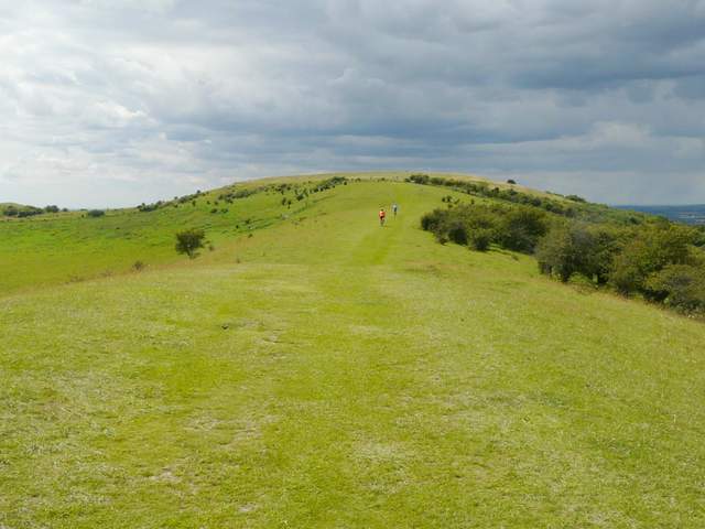
The path from Gallows Hill to Ivinghoe Beacon
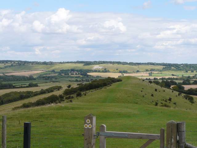
Looking back over Gallows Hill to the Whipsnade Downs (the white lion is at Whipsnade Zoo)
Approaching the top of Ivinghoe Beacon