Pete's Walks - Watlington Hill and Park Corner (page 2 of 5)
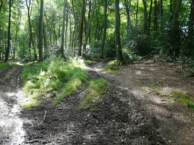
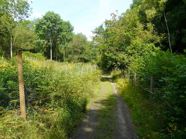
At the end of the lane, just a short way past the church, a bridleway went half-left (a path goes half-right from here to Russell's Water Common). The bridleway followed a hedgerow on my left through a couple of meadows, and dropped down into a valley. It then continued quite steeply up the opposite slope, which was part of Pishillbury Wood. As I puffed and panted my way uphill, I saw a couple of Fallow Deer, the second time that this has happened here. At the top of the slope I stayed on the bridleway as it continued through the wood to reach a lane on the edge of Maidensgrove.
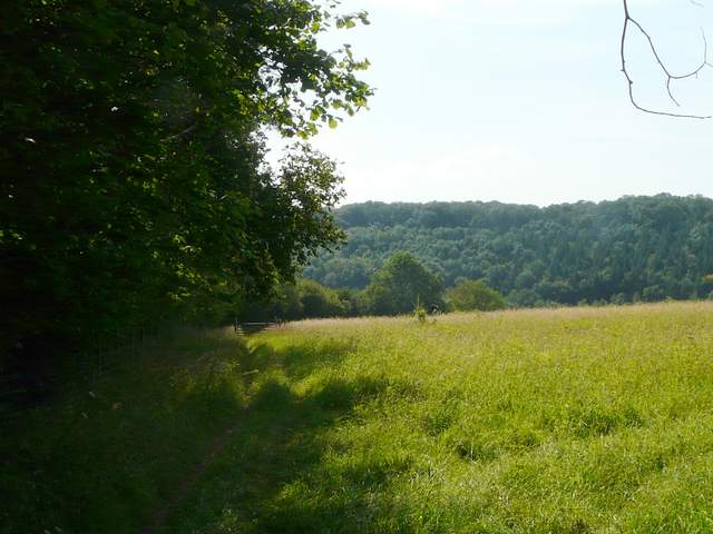
The bridleway leaving Pishill to head to Maidensgrove
The bridleway from Pishill to Maidensgrove
The bridleway from Pishill to Maidensgrove, starting uphill through Pishillbury Wood
Pishillbury Wood
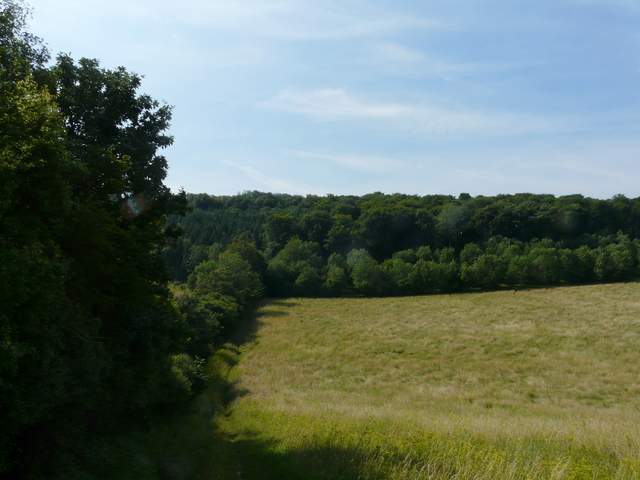
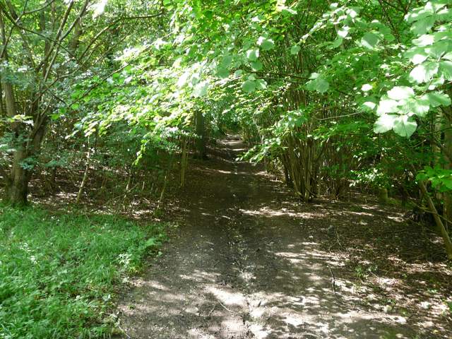
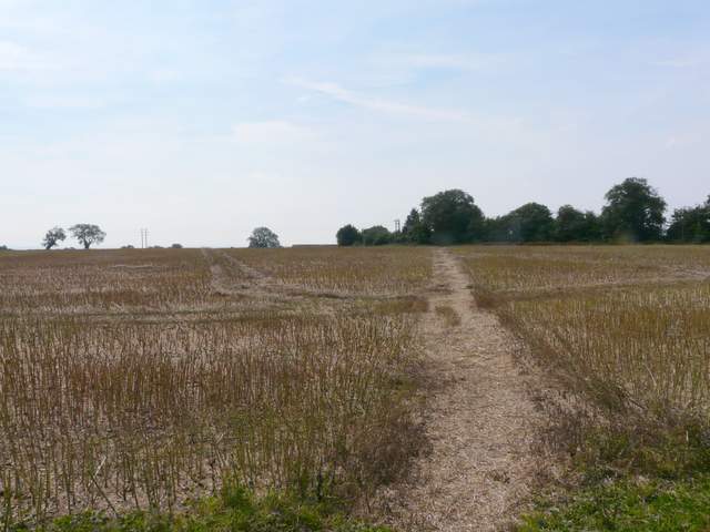
Across the lane a bridleway continued through Park Wood for a short while, then crossed a large stubble field. On the far side it turned left to reach a field corner and a few yards further on the end of a lane by Lodge Farm, Maidensgrove. Here I went a few yards to the right, then went a few yards left along a track before turning right onto a footpath. This led through more woodland, soon dropping downhill steeply, alongside the boundary fence of the Warburg Nature Reserve (I spotted another Fallow Deer here). At the bottom of the slope I turned right, following a bridleway through the reserve.
The bridleway continuing (right of centre) beyond Park Lane, on the edge of Maidensgrove
The bridleway continuing towards Lodge Farm, Maidensgrove
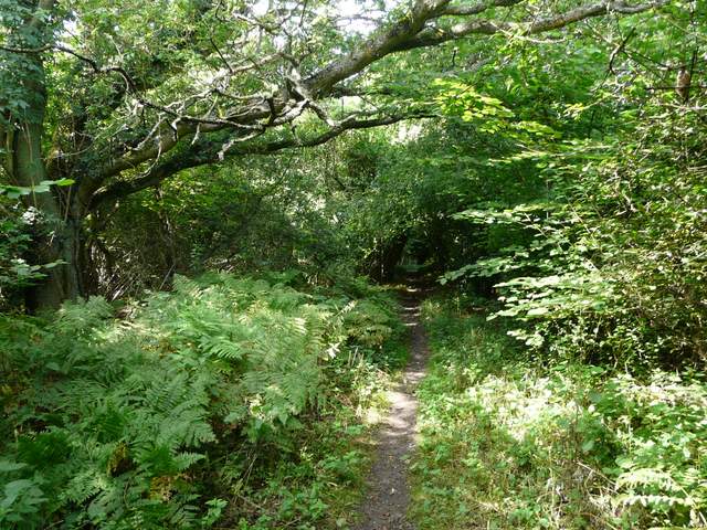
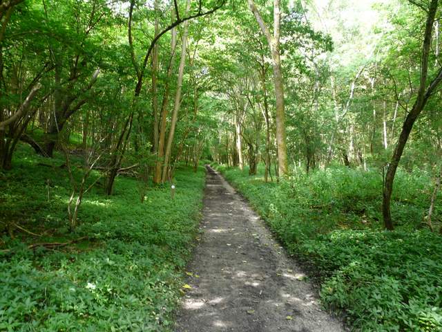
Near the start of the footpath down through the Warburg Nature Reserve, from near Lodge Farm
The footpath down through the Warburg Nature Reserve
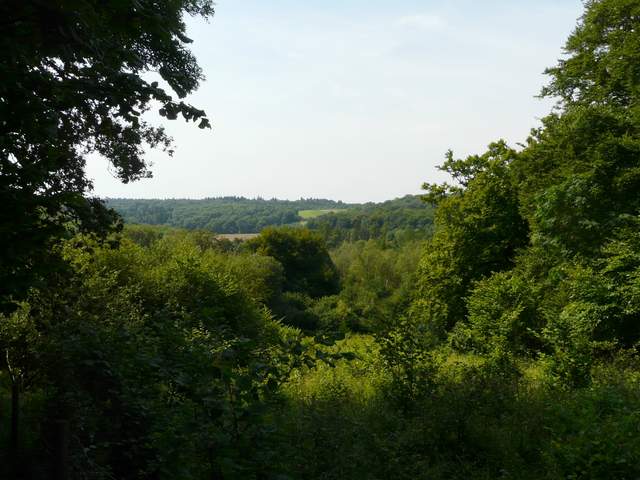
View from the footpath down through the Warburg Nature Reserve
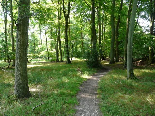
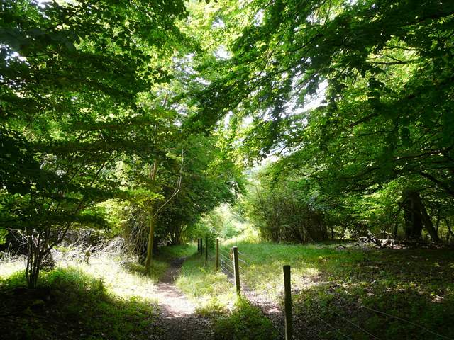
The bridleway, initially very muddy in places, ran along a valley bottom with the woods of the Nature Reserve sloping up on either side. This went on for about three quarters of a mile, the bridleway then continuing along the valley with fields sloping up behind the hedges on both sides. At a five-way junction of paths in Upper Bix Bottom (where the southern extension breaks off from the original route of the Chiltern Way), I turned left along a public byway. I soon spotted my first Small Copper butterfly of the year in the middle of the track in front of me.
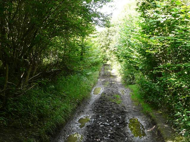
The bridleway through the bottom of Warburg Nature Reserve
The bridleway through the bottom of Warburg Nature Reserve
The bridleway through the bottom of Warburg Nature Reserve
The bridleway through the bottom of Warburg Nature Reserve

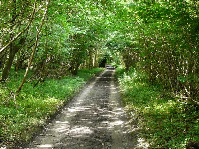
The bridleway continuing from Warburg Nature Reserve towards Upper Bix Bottom
