Pete's Walks - Wigginton and Wendover Woods (page 2 of 4)
Beyond Baldwin's Wood the path finally emerged into the corner of a corn field, where it went right for a few yards to enter another tree belt. Here it turned left to continue southwest-wards once more, through the tree belt to reach another wood (it's not named on the OS map, but I've just seen that on my Google Map it's named Mercer's Wood - I must admit I've always thought it was part of Barn Wood). The path here was one of the muddiest I came across today (generally the paths were dry, a great improvement over the muddy conditions of most of this summer). The path soon curved left, finally leaving Grim's Ditch, and as it did so I spotted a Muntjac deer running across a short way in front of me. When the path ended at a path T-junction, I turned right to enter Barn Wood - initially there was another very muddy section. The path followed a broad track through the wood, but after some distance it turned right from the track and dropped down through the trees a short distance to join a section of the Ridgeway National Trail.
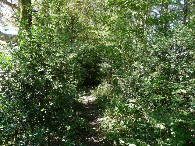
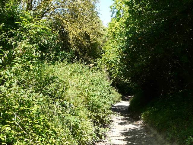
The narrow tree belt leading to Mercer's Wood

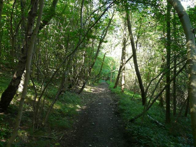
Rather muddy path through Mercer's Wood
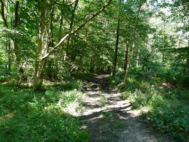
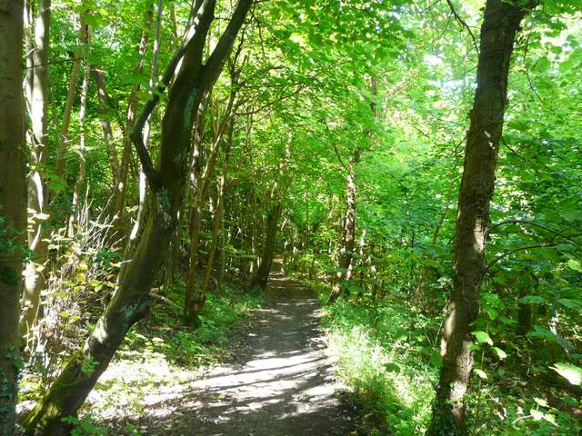
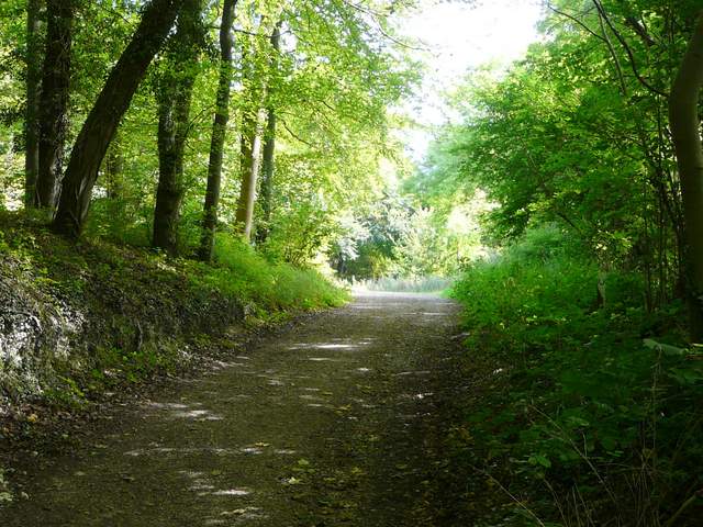
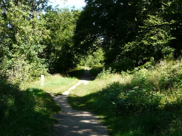
The footpath through Barn Wood
The footpath through Barn Wood
The footpath through Barn Wood, dropping down to meet the Ridgeway
I turned left, and followed the Ridgeway as it gradually descended through the trees of Barn Wood. It turned left at the bottom of the slope, to reach a bridleway junction a hundred yards further on. Here I turned right, on to a track called Hogtrough Lane, soon passing Boswells Farm on my right. I followed Hogtrough Lane for over half a mile, as it gently descended between hedgerows to eventually end on the edge of Wendover.
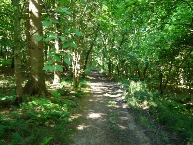
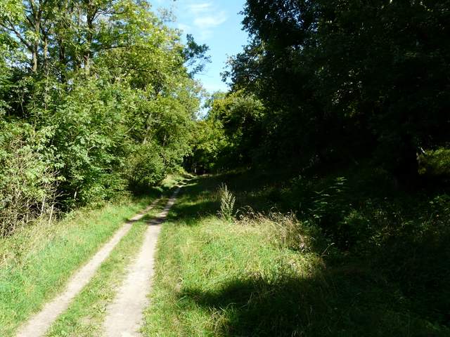
The Ridgeway National Trail through Barn Wood
The Ridgeway National Trail through Barn Wood
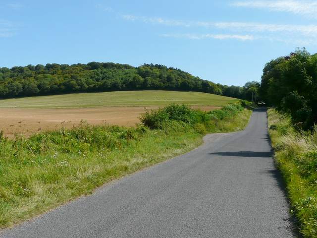
Hogtrough Lane
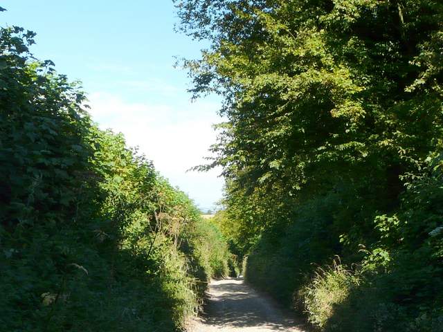
Hogtrough Lane
Hogtrough Lane
I followed a residential street on the edge of the village right for a little way, then turned right again, heading back into the countryside along Hale Lane, with the wooded slopes of Boddington Hill ahead on the left. Shortly after the lane reached the woods on my left, a track started off left at a barrier, soon merging with another track where I continued straight on. There was now a number of Buddleia bushes by a sunny parking bay beside the track, and they had attracted numerous butterflies - I watched them for about five minutes, spotting Red Admirals, Commas, many Peacocks and a few Brimstones. Finally I definitely saw my first Silver-washed Fritillary of the summer! I made my way along the track, soon coming to a junction where I turned left onto another track (shown on the OS map, though not marked as a public right of way - however all of Wendover Woods are an open access area). This Track climbed gently round Boddington hill, gradually curving right. As I reached the top of the hill, there was an embankment in the trees on my right, presumably the Iron Age Hill-fort shown on the map. The track continued along the top of a steep wooded slope on my left, heading northeast and then north, towards the visitor centre in the middle of Wendover Woods.
Wendover Woods, named after the nearby Buckinghamshire village, cover about 800 acres in the Chiltern Hills. They consist of a mixture of coniferous and deciduous trees, and are owned by the Forestry Commission. They are a very popular local amenity, with walks, bridleways, picnic and barbeque areas, and a café by the large (but sometimes full!) car park. The woods cover several hills, including Boddington Hill, which is surmounted by the remains of an Iron Age hill fort, and Haddington Hill which is the highest point in the Chilterns at 876 feet (Pavis Wood on the flank of this hill contains the highest point in Hertfordshire at 844 feet, so the hill is the highest point in two counties).
Hale Lane, Boddington Hill on the left
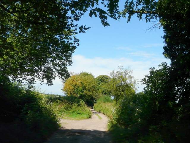
The track into Wendover Woods at the foot of Boddington Hill

The path up Boddington Hill (this is shown on the OS Map, but not marked as a public right of way)

The path up Boddington Hill
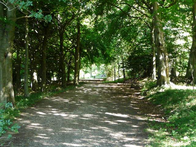
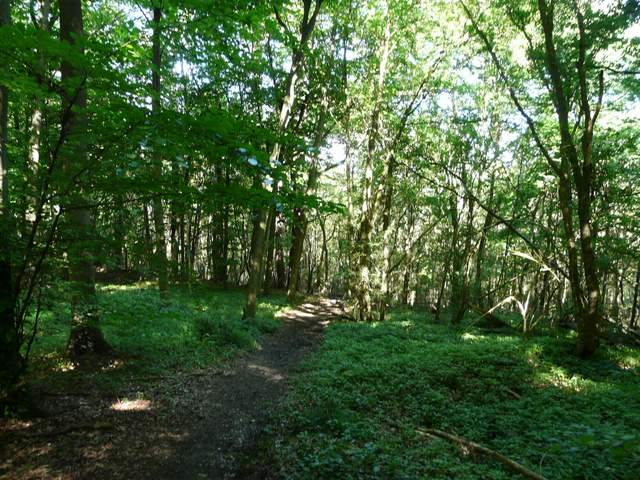
The path continuing from Boddington Hill to the visitor centre at Wendover Woods
The path continuing from Boddington Hill to the visitor centre at Wendover Woods
The path continuing from Boddington Hill to the visitor centre at Wendover Woods