Pete's Walks- Old Amersham and Little Kingshill (page 2 of 4)
Shortly after passing the last house on the left, a footpath went half-left across a paddock. It crossed a track and continued, now going gently uphill, through a field showing the first shoots of a crop of peas or beans. Through a hedge, it continued uphill through a much larger field with a similar crop. There were nice views over the valleys left and right, as well as looking back to Little Missenden. My enjoyment was slightly marred by the sound of shooting coming from the woods across the Misbourne valley on my right. The path led eventually to a street in Little Kingshill, where I again turned left and had another half mile walk through this less attractive village.
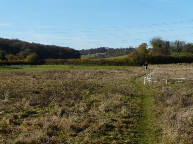
The start of the path from Little Missenden to Little Kingshill
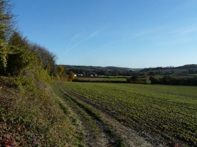
Looking back to Little Missenden and the Misbourne Valley
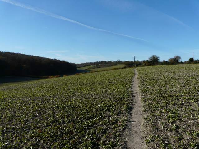
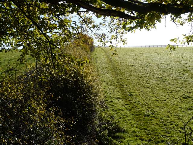
The path to Little Kingshill
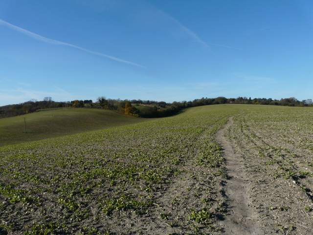
The path to Little Kingshill
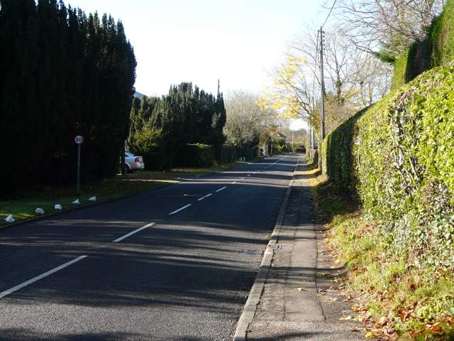
The road through Little Kingshill
Little Kingshill lies in the parish of Little Missenden, though it is larger than its parent village. The ‘King’ in the name is thought to be King John.
Just beyond a recreation ground on the right, a footpath went left, passing a Baptist chapel and continuing between fences and hedges (I struggled to get a photo here as I was looking straight into the sun). After a while I had a wood called Grubbing Plantation on my left, and at the foot of a small valley I turned left on a path through the wood. After a short while, the path turned right, heading uphill to the edge of the wood and a corner of a large pasture.
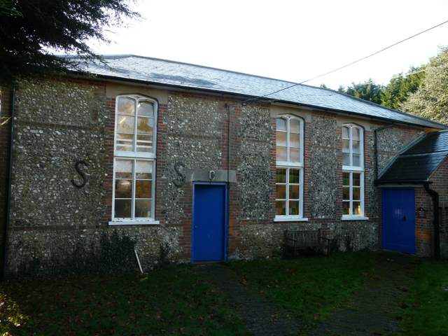
Baptist chapel, Little Kingshill
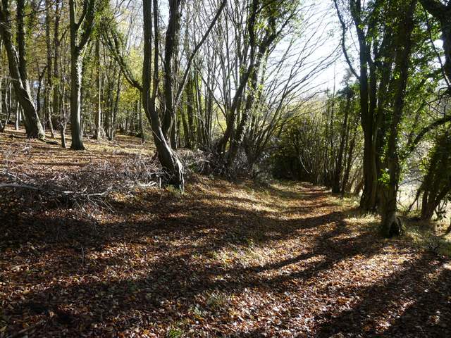
The path from Little Kingshill south to Grubbing plantation
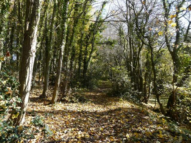
Path through Grubbing Plantation
Path through Grubbing Plantation
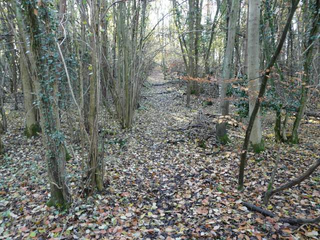
Path through Grubbing Plantation (now going south)
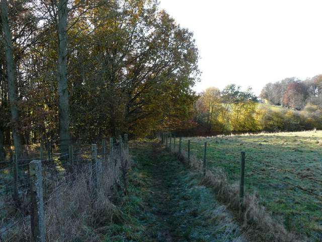
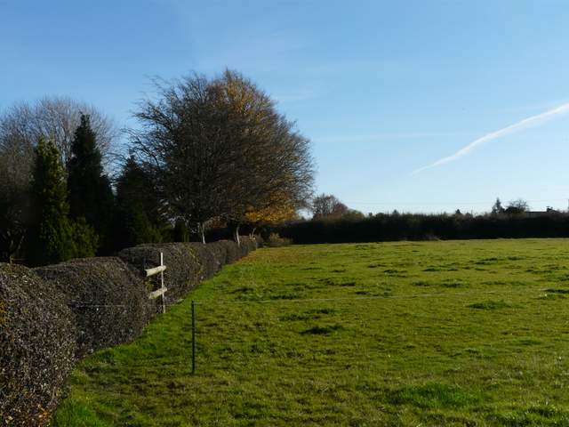
I followed the path along the hedge on the right, turning left at the field corner (actually I had to cut the corner slightly, so as not to disturb the four resident bullocks who all stood up and eyed me cautiously) and following that side of the field to the next corner. Over a stile I went a few yards half-right to another stile, then followed the left hedge of a large paddock uphill. A sequence of gates and/or stiles then led me on to pass close to a cottage, beyond which I followed the left side of a paddock to reach a road. A short distance to the right I reached a roundabout where I took the road on the left and followed it through the large village of Holmer Green.
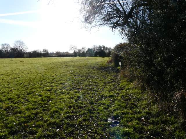
The large pasture south of Grubbing Plantation, heading south
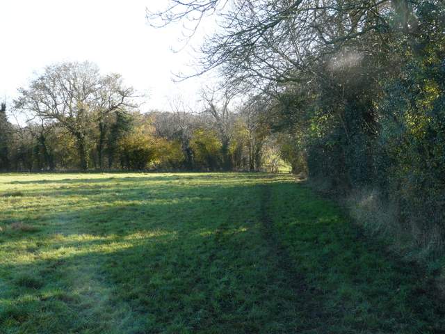
The large pasture south of Grubbing Plantation, now heading east
The footpath continuing towards Holmer Green
The footpath approaching the road into Holmer Green
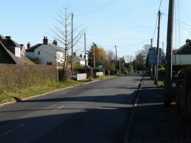
The road through Holmer Green
Holmer Green was originally a hamlet in the parish of Little Missenden but is now a village in its own right. The ‘Holmer’ part of the name was first recorded in the 13th century as ‘Holeme’, while the ‘Green’ refers to the large and ancient green that was here from the 13th century onwards – it had been reduced to a mere 4 acres by 1854, however. The oldest houses here date to the 16th century, when the hamlet thrived on sheep farming. In the 19th century, the poet Christina Rossetti and her poet/ painter brother Dante Gabriel Rossetti visited their grandfather in Holmer Green – it is said that Christina drew poetic inspiration from the surrounding countryside. From about 1850 to 1950 the village was famed locally for its cherry orchards. The entire nature of the village was changed by a wave of building here in the 1960’s and 1970’s, and the population now totals 4000.
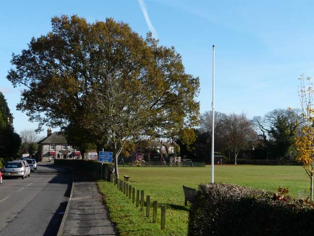
The road through Holmer Green, by the sports ground