Pete's Walks- Cowleaze Wood and Ibstone (page 2 of 5)
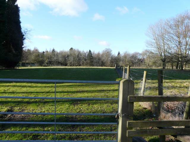
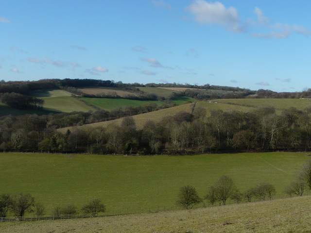
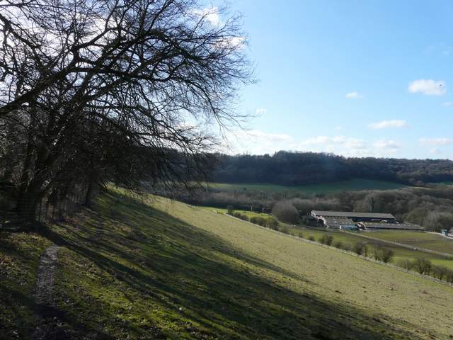
At the top of the hill I turned right at a bridleway crossroads, leaving the wood and following the edge of Ibstone Common southwards, the common stretching out to my left to the road that runs through the village. I was heading into the sun once more, which made photography difficult. After some way the bridleway became a track with garden boundaries on the right, and this soon brought me to a lane close to the intriguingly named Hellcorner Farm. Two paths started almost opposite, and I kept to the rightmost one which dropped steeply downhill into a wooded valley. In the valley bottom the path turned right, soon starting to very gradually climb up the far side of the valley. When the path reached the edge of the wood it forked, and I took the left fork which ran between garden fences to reach the road through Ibstone.
The bridleway along the western edge of Ibstone Common
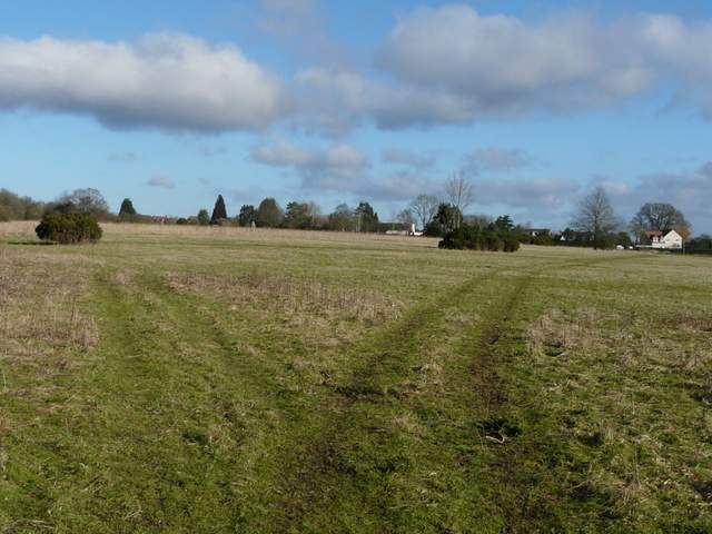
Looking back over Ibstone Common
The path descending from near Hellcorner Farm
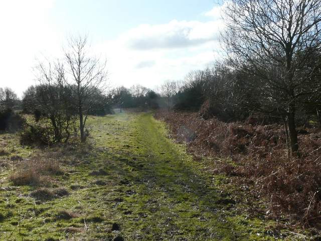
The path through the wooded valley, Ibstone
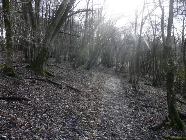
The path through the wooded valley, Ibstone
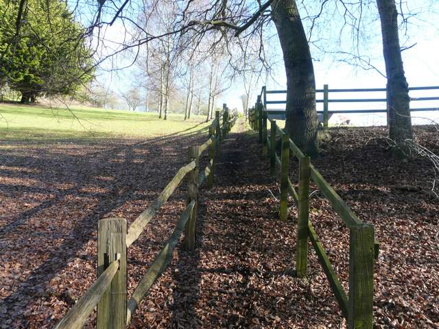
The start of the path to the road in Ibstone
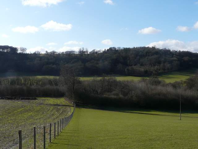
I turned right along the road, admiring the view left over Twigside Bottom towards Hanger Wood. Just past the village school on the left I came to a junction where Church Lane came in on the right. Here I took a footpath just before the lane, which crossed an empty paddock to return to the wood I'd been in earlier. A few yards into the wood I turned left at a path junction, rejoining the path through the wood I'd been on earlier (if I'd not been following the route of the Chiltern Chain Walk, I could have stayed on this path by forking right at the junction by the edge of the wood). The path stayed close to the top edge of the wood, and I soon reached Ibstone Church on my left - I took a detour into the churchyard to take a photograph, and saw my first Winter Aconites of the year.
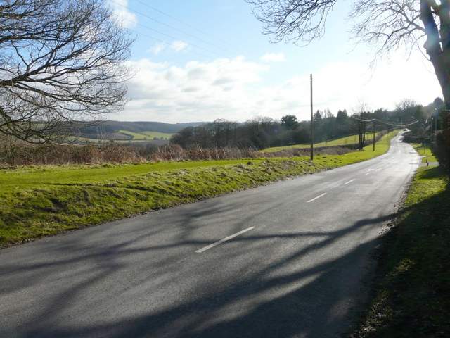
The road in Ibstone, heading to the school (right)
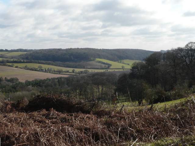
Close-up shot of the view from the road in Ibstone
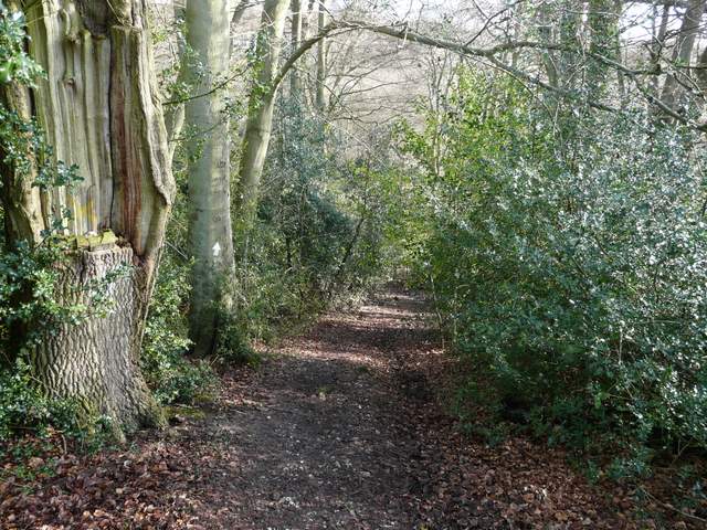
The start of the path from the end of Church Lane
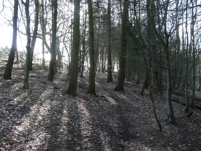
Back on the path through the wooded valley
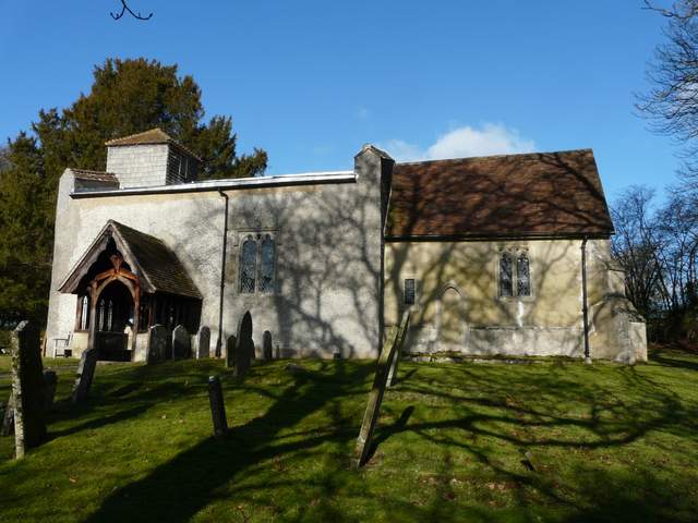
Ibstone Church
I returned to the path through the wood, which now turned right and dropped downhill through the wood, here called Churchfield Copse (according to Google Maps), leaving it at a stile. There were pleasant views here over wooded hills and valleys, as the path turned left along the top of an empty pasture or paddock that sloped down to my right. After a while the path started to descend beside a fence, with a view left along a valley towards Turville. The path entered another empty pasture and continued downhill to reach Turville Wood.
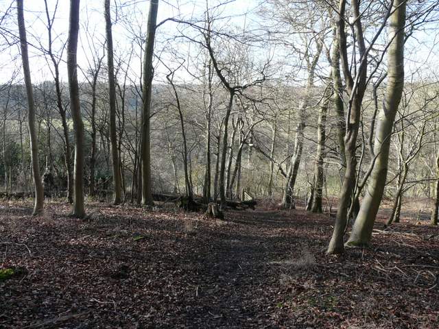
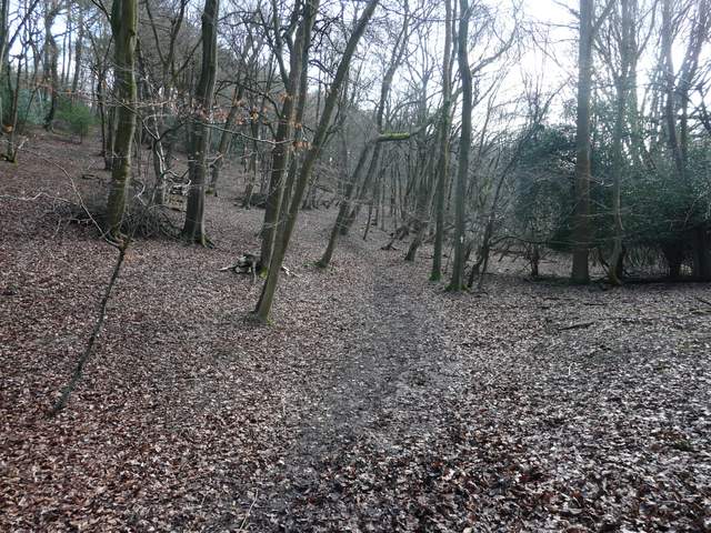
The path continuing from Ibstone church, descending through Churchfield Copse (not named on OS map)
The view from where the path leaves the wood
The path continuing from Churchfield Copse
The path descending towards Turville Wood
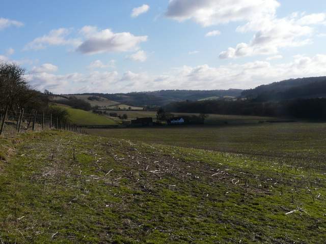
Looking left along the valley towards Turville