Pete's Walks- Cadmore End, Turville and Ibstone (page 1 of 3)
If you are considering walking this route yourself, please see my disclaimer. You may also like to see these notes about the maps and GPX files.
Google map of the walkDownload GPX file of the walk
I did this roughly 8.6 mile circular walk on Saturday, 14th December 2013. It was a new route for me, but almost entirely on paths I'd used before.
I started walking shortly after 11.10am. Yet again I deliberately started late, as I'm still not fully fit and only wanted to walk for about 3 hours with a short lunch stop in the middle. I started at the car park in Cadmore End (Grid Reference SU 783927), and continued down the short lane or track passing the village church on my left. I then turned right and followed a farm track for maybe a third of a mile to Hanger Wood. On reaching the wood, I forked slightly right on a footpath through the trees. At a waymark sign I forked right again (I think I may have inadvertently trespassed at this point on previous occasions, I don't remember seeing this waymark before and the path had clearly only recently been cut through the undergrowth). This path soon crossed a track, then a little further on joined the track and continued downhill to the edge of the wood.
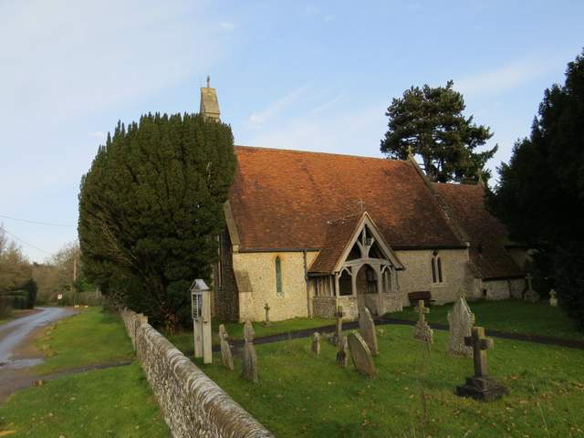
Cadmore End church
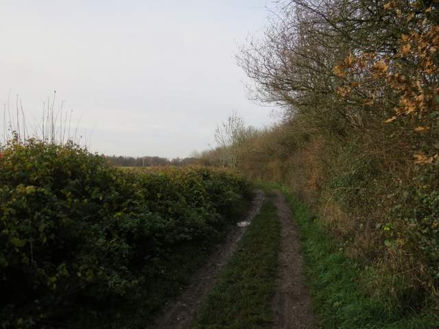
The track from Cadmore End to Hanger Wood
The entrance to Hanger Wood, where I took the path forking slightly right

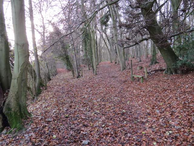
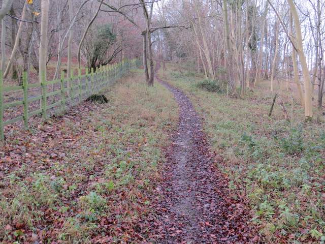
The path through Hanger's Wood
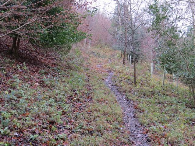
The start of the next path, forking right in Hanger Wood
The path through Hanger Wood
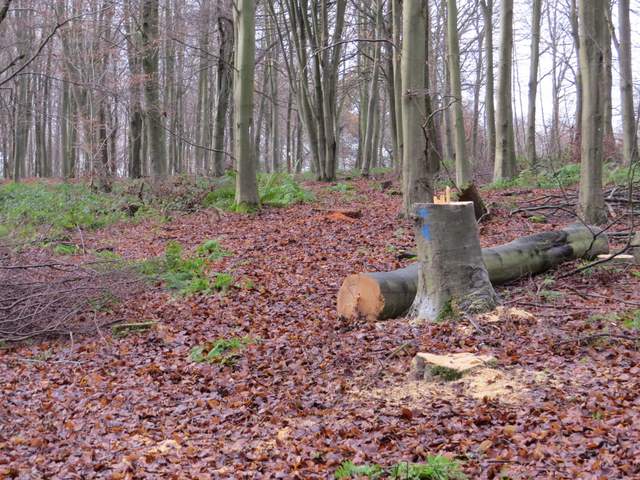
The path descending through Hanger Wood
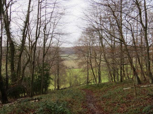
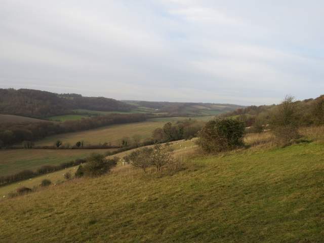
There were now nice views to my left towards Fingest and along the valley to my right. The path continued to drop steeply downhill along a fence separating two large sheep pastures. In the valley bottom I turned right along a lane for about a hundred yards, then turned left on to a bridleway. Almost immediately I forked left onto a footpath, and followed it as it climbed steadily uphill through a wood to emerge at another lane, opposite Cobstone Mill (the windmill used in the Chitty Chitty Bang Bang film).
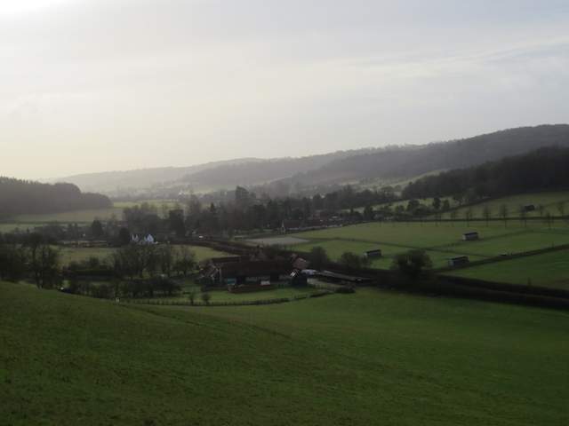
Looking towards Fingest, from just outside Hanger Wood
The path continuing from Hanger Wood - Cobstone Mill is hidden behind the trees at the highest point on the opposite hillside
The path up to Cobstone Mill
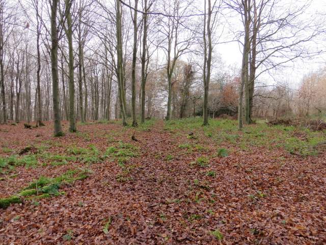
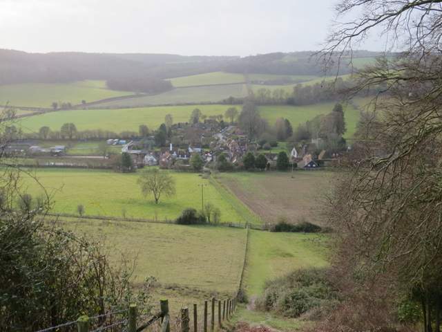
Another path started across the lane, soon descending a very steep path (one of the steepest I know in the Chilterns) alongside a fence to reach the village of Turville (used as the setting for The Vicar of Dibley and in countless other TV shows and films). I turned right, passing the church on my left, and followed a lane out of the village. I then turned left at a bridleway sign and followed the bridleway alongside a hedgerow to reach Churchfield Wood. The bridleway continued along the bottom of the wood, but I took a footpath that went left and gradually climbed uphill through the wood. Initially the wood was mainly small trees and bushes, but became a typical Chiltern Beech wood as I reached the top of the slope.
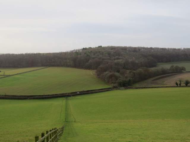
Looking right, from the path down from Cobstone Mill to Turville
The path descending to Turville

Turville church
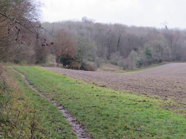
The path to Churchfield Wood
The path rising up through Churchfield Wood