Pete's Walks- Ashridge and Aldbury (page 2 of 3)
For about another hundred yards I was back on a familiar path, but beyond a junction (where a path went left to cross over the railway line and reach Cow Roast) I was again entering what was new territory for me. The path continued past some paddocks by the farm (no Alpacas here today), then followed a line of small trees along a broad headland between two arable fields. After some distance, the path went a few yards right and then continued in the same direction as before, now alongside a hedgerow on the right.
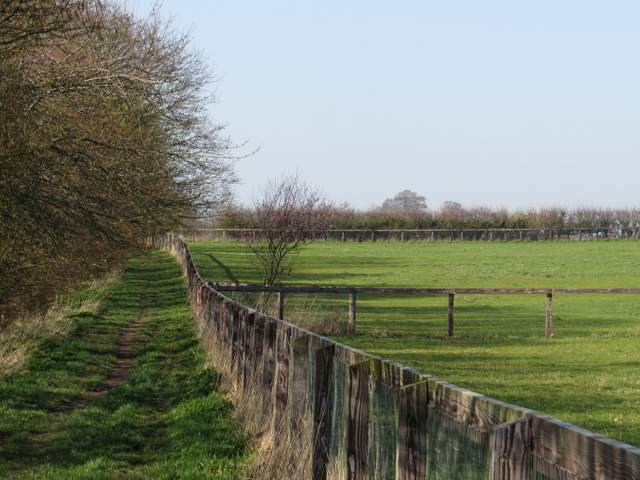
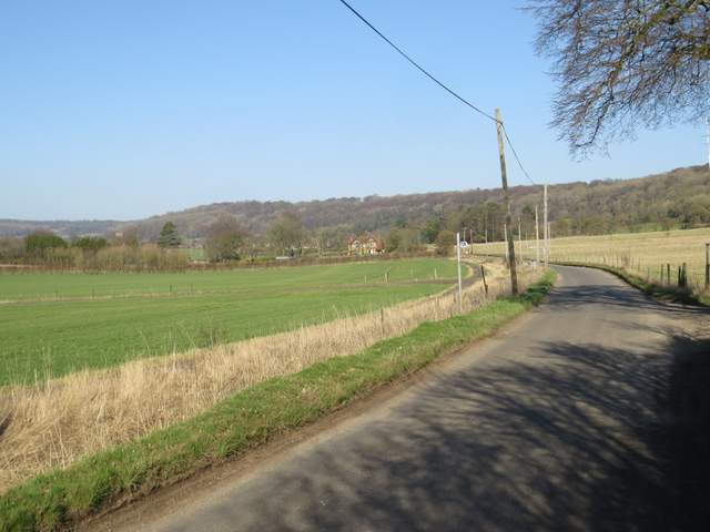
Having turned left, this is now a 'Restricted Byway', running besides paddocks at Norcott Court Hall (sadly no Alpacas here today)
The restricted byway continuing northwest from Norcott Court Farm
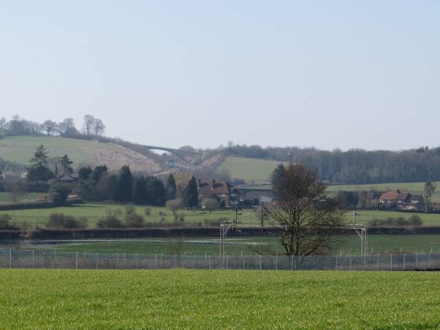
Zoomed-in shot from the restricted byway, looking towards the footbridge taking the Ridgeway across the A41
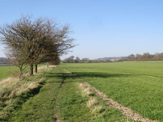
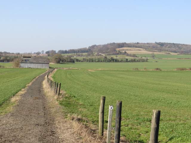
The restricted byway continuing northwest from Norcott Court Farm
The Restricted Byway ended at a lane, Newground Road, where I turned right, heading in the direction of Aldbury. After about a quarter of a mile I turned left onto another 'Restricted Byway'. Initially this had an artificial surface, one of a number of all-weather horse gallops in this area, but beyond a large barn it became a normal field path between arable fields. Rather curiously I passed the end of a hedge (on my left), which presumably had once been connected to other field boundaries but now just ended in the middle of a large arable field. Behind this hedge was a large area of water - I wasn't sure if it was just flood water after the very wet winter we've had or a recently made pond (it wasn't shown on the map). Anyway I was surprised to see three pairs of Mandarin ducks there (I've seen them on the Wendover Arm of the Grand Union Canal, just a few miles from here). A short way further on, the restricted byway ended at a crossing hedgerow, but a footpath continued right from this point.
Newground Road, heading to Aldbury. I turned left along the pathway just visible in the green field.
This is actually another 'Restricted Byway' (they used to be called RUPPs, Roads Used as Public Paths). Its an all-weather gallop for horses.
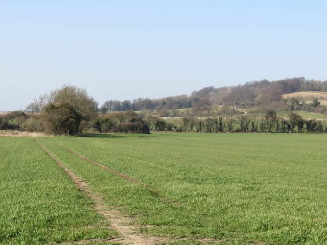
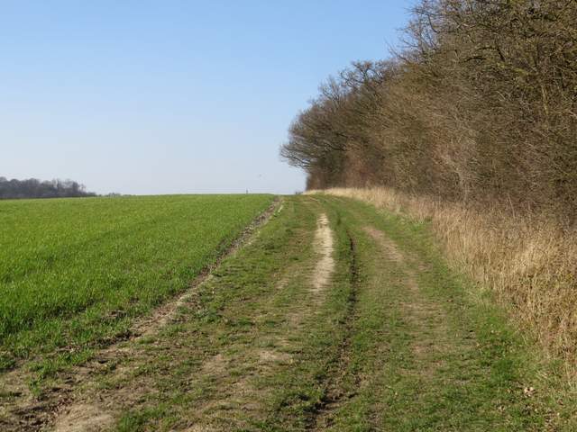
Further along the same Restricted Byway, Aldbury Nowers top right (I still don't know if that's the name of the hill or the wood)
Having turned right, the Restricted Byway becomes an ordinary Public Footpath (the signpost ahead is at the road corner I passed)
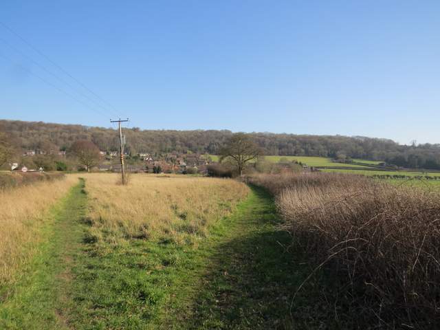
In the next field corner I passed a 90-degree bend in a road on my left, the path then running to the right of a hedgerow that bordered the road - again this section of path was on an artificial gallop for horses, and I saw two horses being ridden here. The path followed the road as it curved right, but shortly after this the hedge and path veered away from the road. The path then switched to the left of the hedge and followed it through a meadow of long grass (where I saw my first Comma butterfly of the year), before crossing another arable field to reach Aldbury (almost opposite the Valiant Trooper pub)..
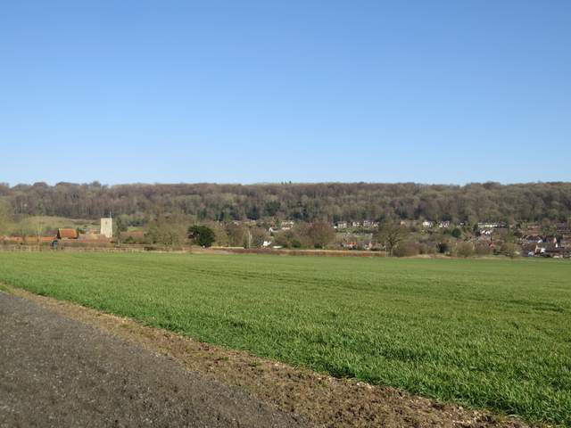
View from the path running the other side of the hedgerow to the road (from Tring Station to Aldbury), looking to Aldbury church and Aldbury, with the wooded slopes of Ashridge beyond. The path here is another all-weather gallop for horses (there are stables at Aldbury).
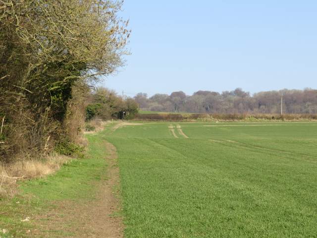
Having left the All-weather gallop (and the road) the path follows this side of the hedge on the right
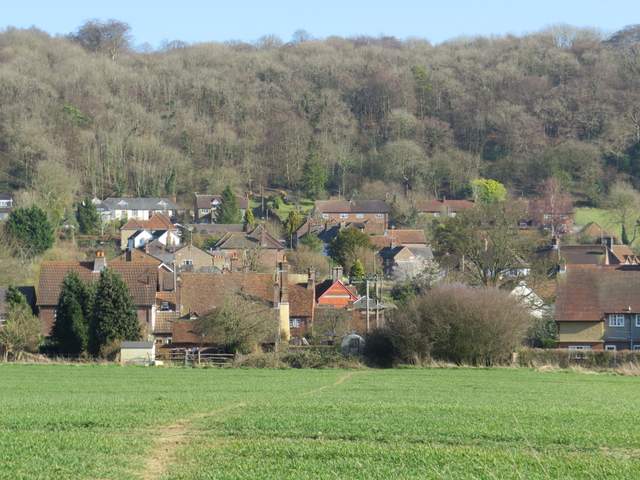
The same path approaching the southern end of Aldbury
I turned left and followed the road through the village. I soon came to the village centre, with its stocks and pond. I continued straight on, passing the pond on my left.
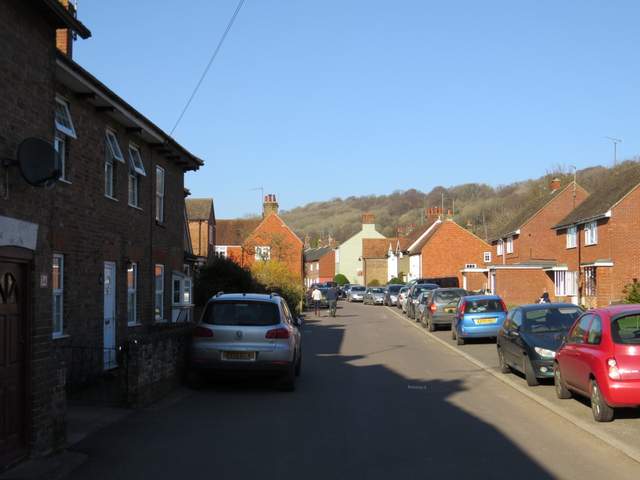
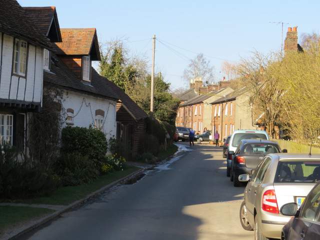
Going north through Aldbury, from the Valiant Trooper pub to the village centre
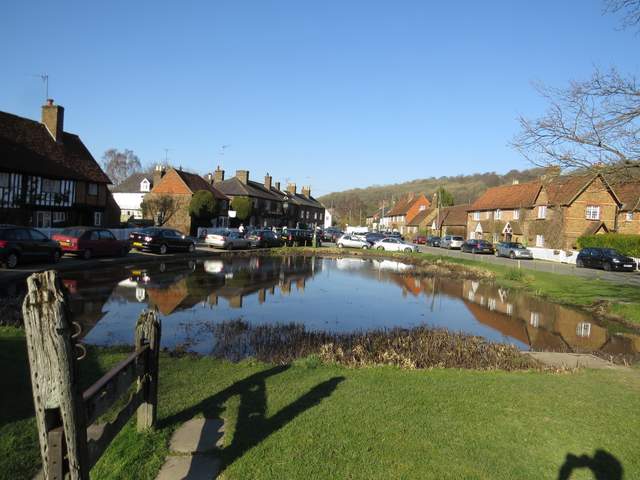
Stocks and pond in the centre of Aldbury
The road continuing north through Aldbury