Pete's Walks- Coombe Hill and Redland End (page 1 of 5)
If you are considering walking this route yourself, please see my disclaimer. You may also like to see these notes about the maps and GPX files.
Google map of the walk Download GPX file of the walk
I did this circular walk of about 10.8 miles on Sunday, 8th February 2015. This was a new route for me, one which as usual I'd just picked out from the map. My aims for the route were to start at Coombe Hill, to walk about 10 miles and to include three or four paths that I'd not walked before - this route fitted the bill perfectly, and turned out to be a very good walk indeed.
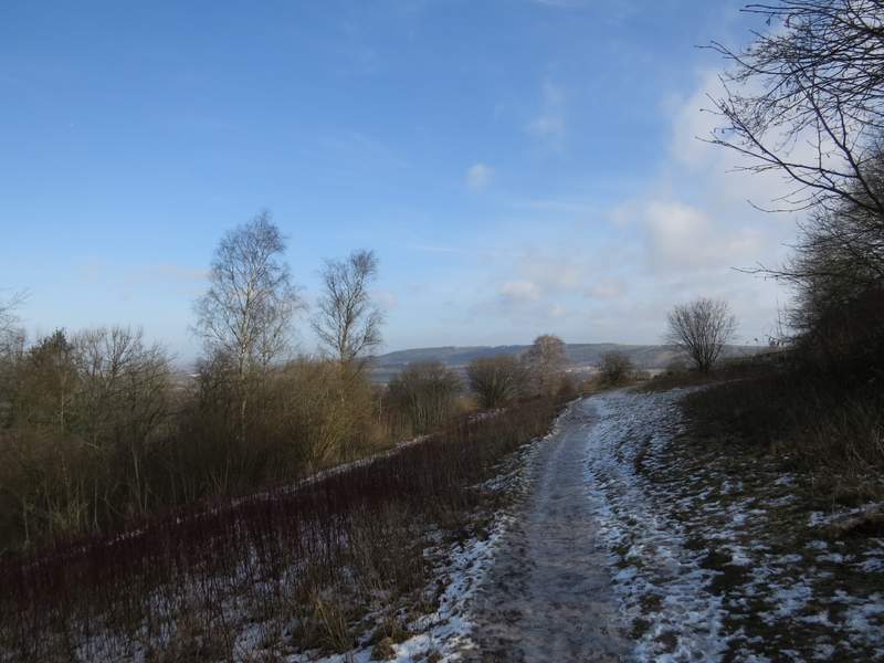
I parked in the car park at Coombe Hill (near Wendover, Bucks) - it was very busy, I was lucky enough to get one of the last two or three spaces, and by the time I'd put my walking boots on people were waiting for other cars to leave before they could park. I started walking about 11.25am, and immediately noticed that the car park was both muddy and icy, which would be the predominant conditions for the whole walk From the gate at the entrance to the car park, I took the middle of three paths, heading across a flat and grassy area dotted with a few trees and bushes. There was a lot of ice on the ground, where recent snow had been compacted down. The path went through a narrow section of trees and then turned right, along a broad swathe of grass (and more ice) that led to Monument on Coombe Hill that commemorates the men of Buckinghamshire who died in the Boer War. The views out over the Vale of Aylesbury were rather restricted by haze or mist.
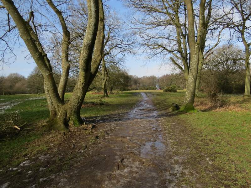
The start of the footpath from the Coombe Hill car park - note the ice on the path
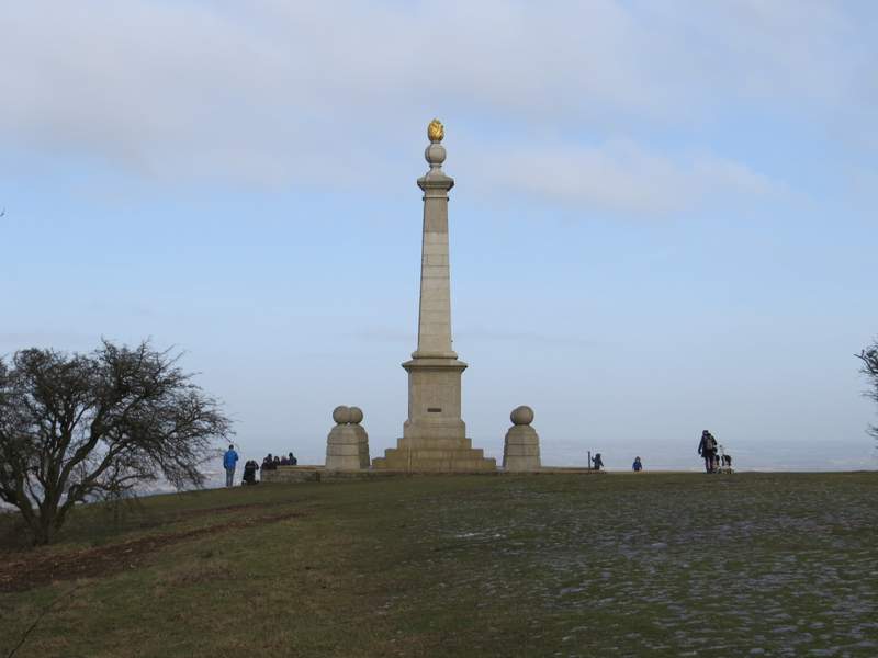
Approaching the monument on Coombe Hill - again, note the patches of ice on the ground
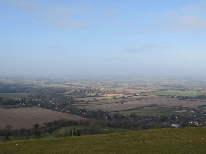
The view from Coombe Hill over the Vale of Aylesbury was a little hazy and so not as extensive as usual
I turned right and took the left-most of two-paths (this one was marked by white acorn symbols, indicating that it was part of the Ridgeway National Trail). The going was now much icier with even a little bit of snow in places. After crossing a bridleway, with gates either side, it got worse - the path was obviously shaded by the trees either side and so it was almost entirely iced over. I had to go very slowly and carefully, my walking boots didn't seem to get much grip at all. A walker I met coming the other way commented that it was like the Cresta Run! I kept right at a couple of forks in the path as I passed from Coombe Hill to Bacombe Hill, parting company with the Ridgeway at one such fork. The path was less icy when I reached a grassy open space on Bacombe Hill, with views ahead towards Wendover and left to the Vale of Aylesbury. The path continued through a small area of scrub, descending slightly, and then reached a small grassy area topped by a tumulus (ancient burial mound).
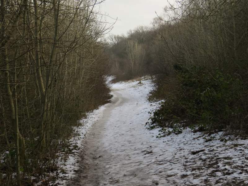
The Ridgeway running from Coombe Hill to Bacombe Hill - this was the iciest section of the whole walk
The path continuing on Bacombe Hill
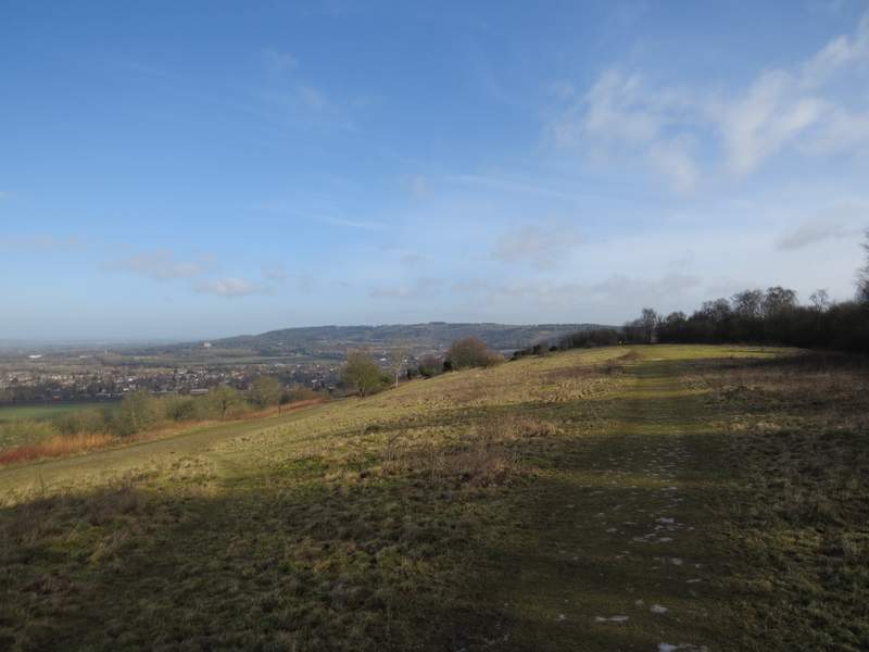
Bacombe Hill, looking ahead towards Wendover
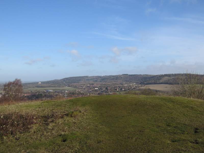
Looking over the tumulus on Bacombe Hill to Wendover and Wendover Woods
I turned right from the tumulus, following a path that dropped quite steeply through trees to reach a bridleway rising up that side of Bacombe Hill. Across the bridleway I went over a stile and continued downhill across a large paddock containing three horses. This brought me to Bacombe Lane, where I turned left. After three or four hundred yards I turned right on to a bridleway. This started down a driveway, continuing between garden boundaries and then between the wooden fences of paddocks either side. It then turned right, continuing between fences and with a small bit of woodland on my right. It was soon heading fairly steadily uphill, and seemed quite a lengthy climb by Chiltern standards. But I'd only walked this bit of the bridleway a couple of times before, and was enjoying it even though I was puffing for breath. The bridleway levelled out as it reached a larger area of woodland, and continued on until it ended at a junction with another bridleway (going from Coombe Hill to Dunsmore, a little distance to my left).
The short and steep path down from the tumulus to the bridleway up Bacombe Hill
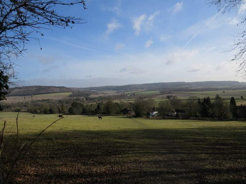
The path continuing the other side of the bridleway, crossing a paddock to reach Bacombe Lane - the valley in the background is The Hale
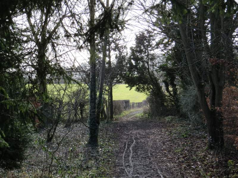
Near the start of the bridleway from Bacombe Lane
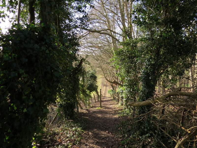
The bridleway now heading southwest, after turning right beyond a paddock
The bridleway continuing southwest
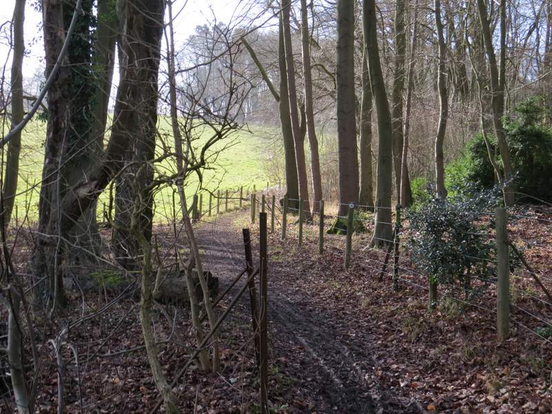
The bridleway continuing southwest
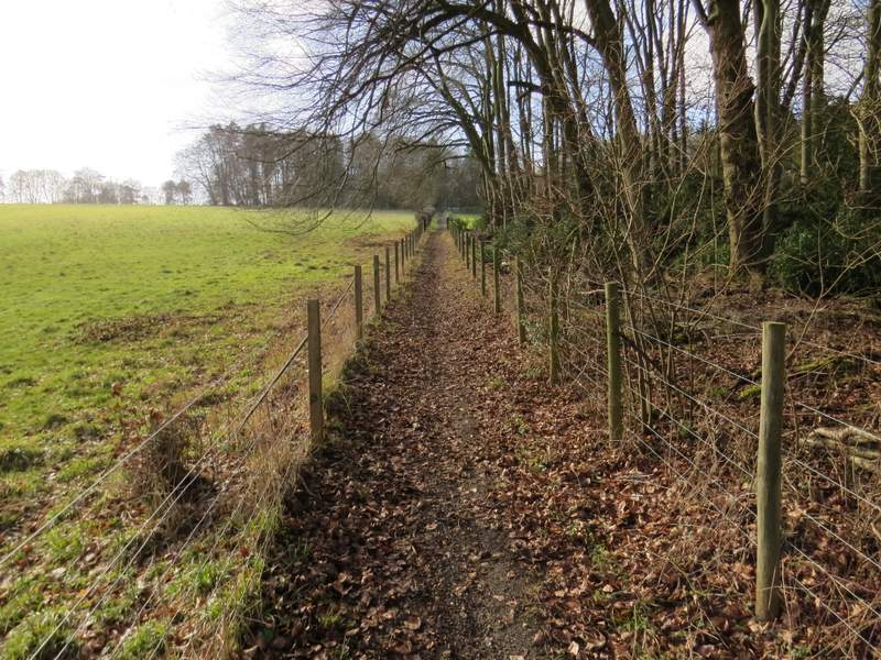
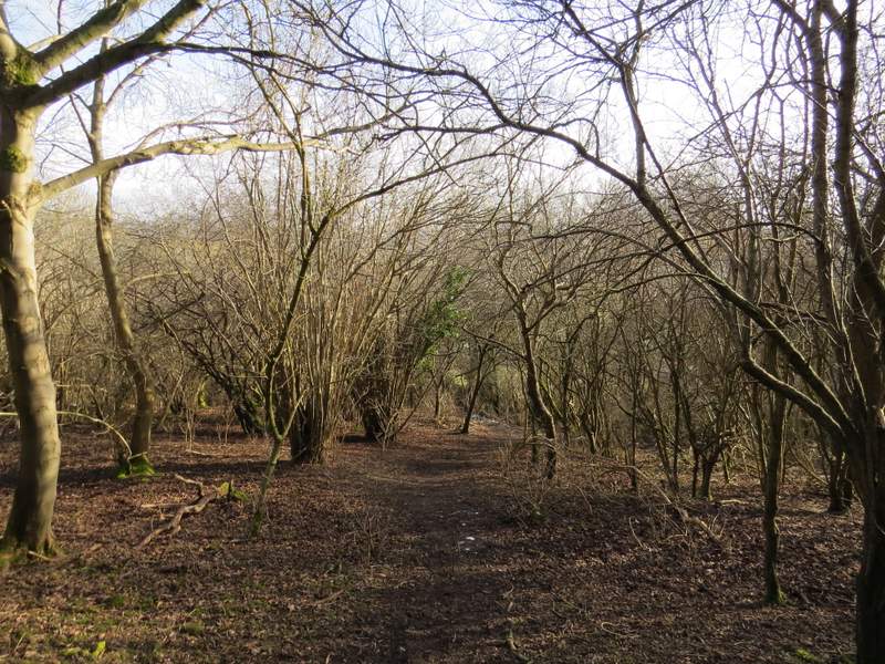
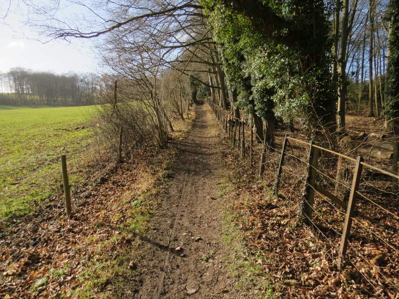
The bridleway continuing southwest towards High Scrubs wood
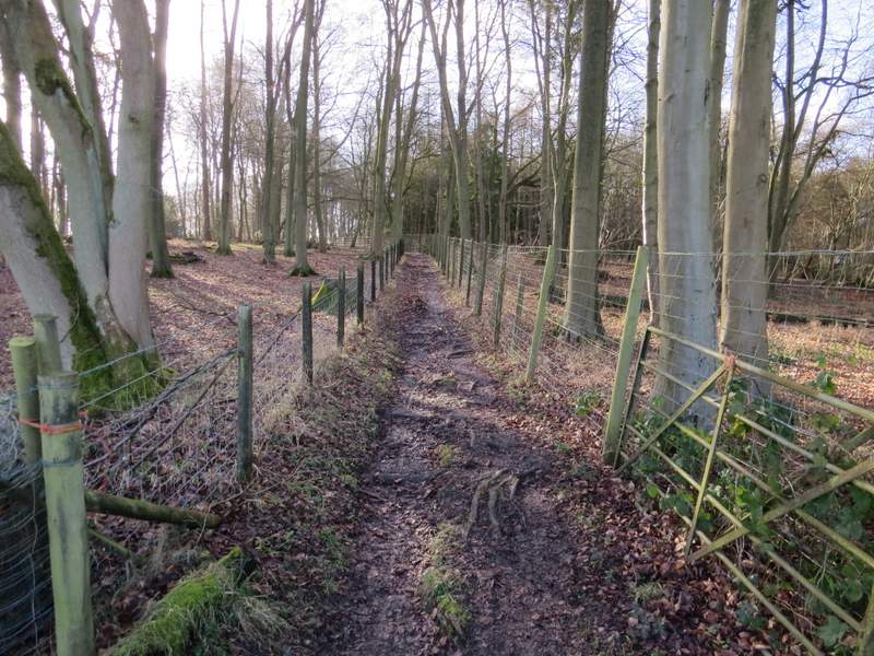
The bridleway continuing southwest towards High Scrubs wood
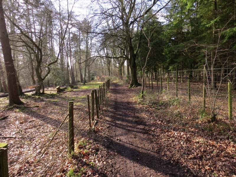
The bridleway continuing southwest towards High Scrubs wood