Pete's Walks- Hawridge, Chartridge End, Great Hivings (page 1 of 4)
If you are considering walking this route yourself, please see my disclaimer. You may also like to see these notes about the maps and GPX files.
Google map of the walkDownload GPX file of the walk
I did this circular walk of about 8.7 miles on Saturday, 16th May 2015. It was a new route for me - about half of the walk was on paths I'd not walked before and about another third was on paths I'd only walked once before. As usual, I took more photos along the sections that were new to me than on the sections I'd walked before. I'd actually planned to do a walk today from Goring that would include a look at the orchids at Hartslock, but just before setting off I thought to check on the web to see if the three orchid species I wanted to see were all in flower. Apparently they won't be at their best for another week, so I postponed my planned walk until next weekend and hastily worked out this alternative walk on the map. It included some paths that I've been meaning to try for some years now but hadn't got round to.
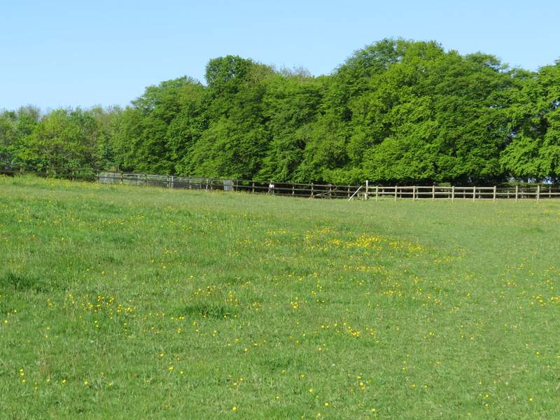
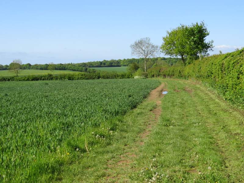
I'd intended starting at Buckland Common, but the tiny parking area by the phone box was full, so instead I parked on the edge of Hawridge Common, almost opposite the Full Moon pub. I started walking about 8.55am, heading a few yards back up the road towards Cholesbury, before turning left down a minor road and soon passing Hawridge windmill (also known as Cholesbury windmill) on my left. At the bottom of a valley, I took a footpath on the right. This followed the valley through three or four pastures, and then a couple of corn fields, with Cholesbury and then Buckland Common on top of the hillside on my right. After going straight on where a path crossed (part of the Chiltern Heritage Trail), the path continued between hedges, then went half-left across a buttercup-filled paddock. On entering a second paddock it turned further right, then turned left in the following meadow to emerge on a minor road almost opposite the start of the drive to Dundridge Manor.
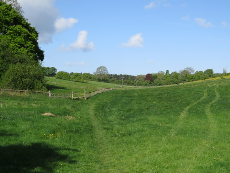
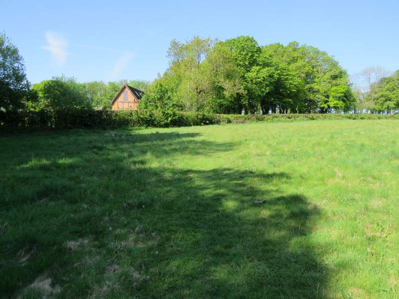
The footpath along the valley immediately south of Cholesbury
The footpath along the valley immediately south of Cholesbury and Buckland Common
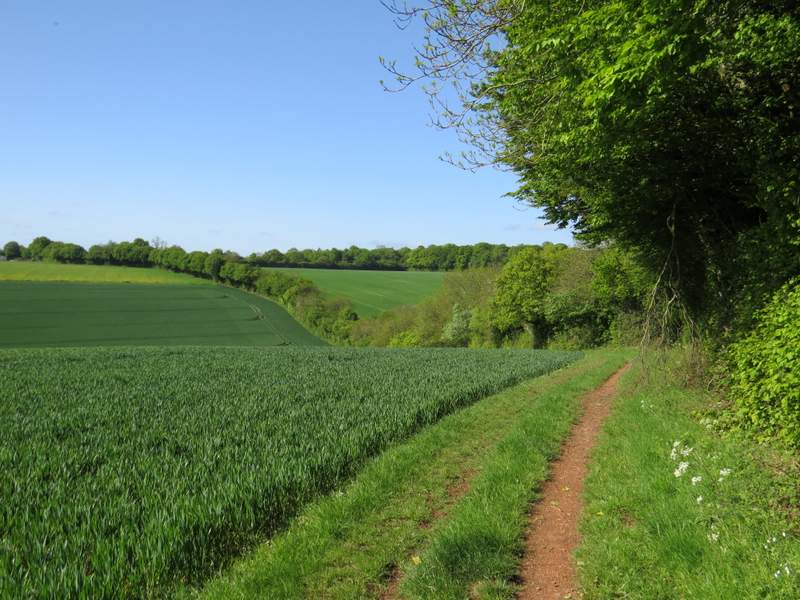
The footpath continuing near Buckland Common
The footpath continuing across an empty paddock
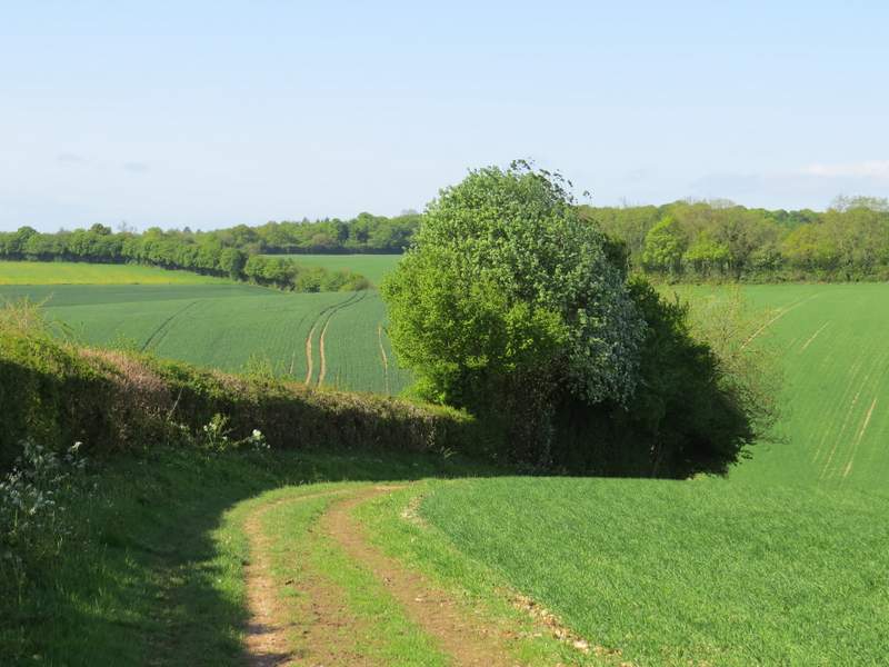
The footpath approaching the minor road near the start of the drive to Dundridge MAnor
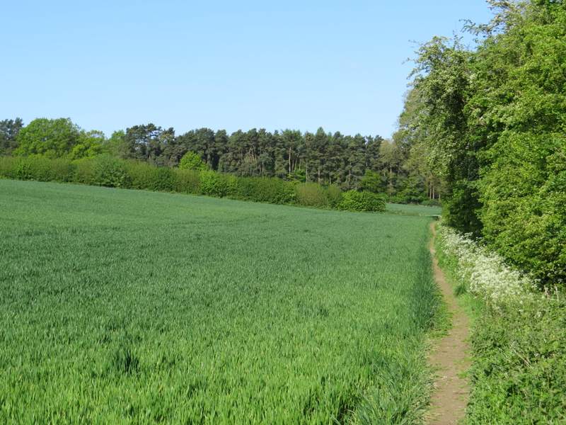
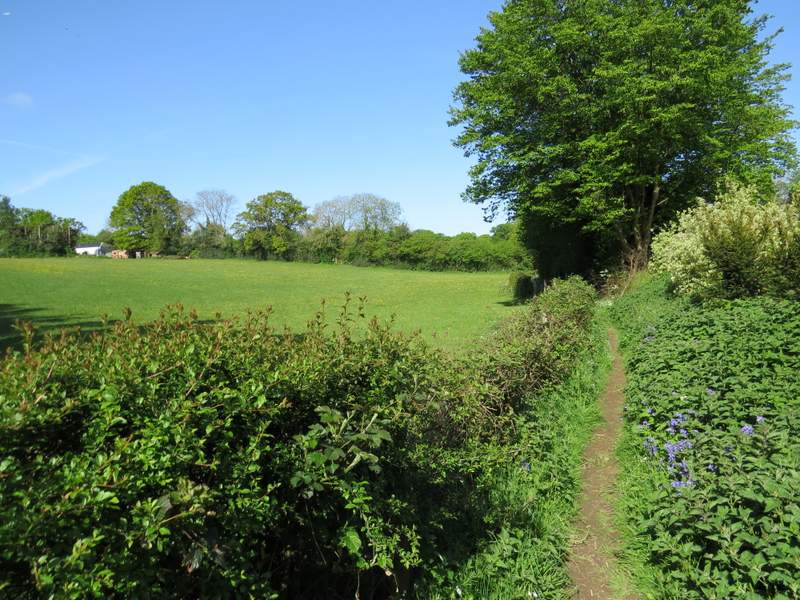
I went a few yards down the drive, then took a footpath starting on the left. I went straight on when another path went right, now starting a section of paths I'd not walked before. The path continued on to a wood called Widow Croft, and carried on through the wood where there was initially much Holly. On the other side of the wood the path stayed heading southwest, now running along a broad strip of mown grass between young plantations either side (young enough not to be shown on my OS map). The path then crossed a corn field, before continuing on through Newsets Wood. There were plenty of Bluebells here, as there were in many other woods and hedgerows on this walk (for me, one of the great joys of walking at this time of year is seeing Bluebells together with the white Greater Stitchwort and the occasional Yellow Archangel).
The start of the path from the drive to Dundridge Manor
The path continuing through Widow Croft
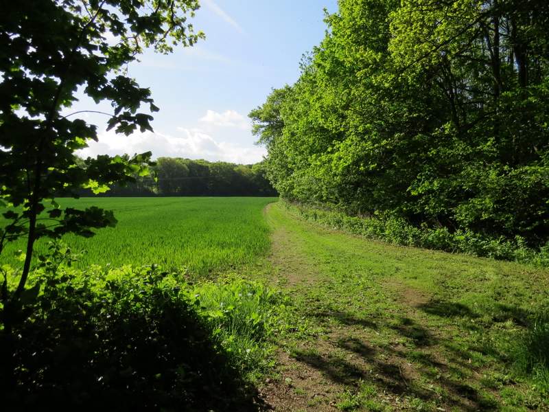
The same path continuing southeast beyond Widow Croft

The footpath continuing towards Newsets Wood

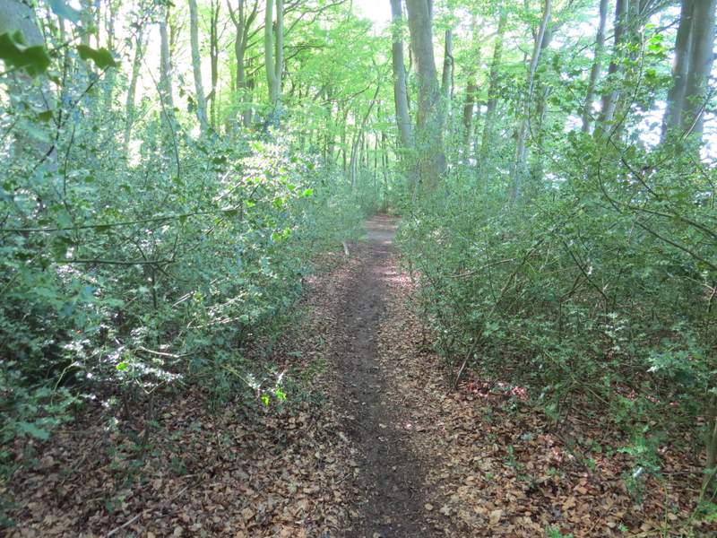
The footpath continuing through Newsets Wood
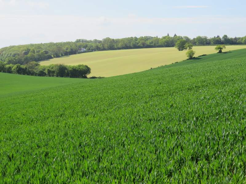
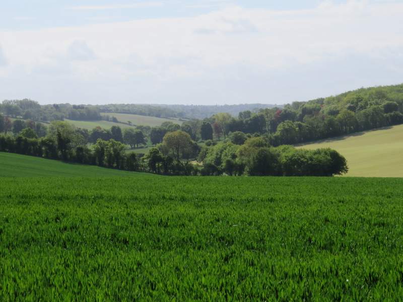
On the far side of Newsets Wood I turned right along a bridleway. This was initially alongside a hedge on my right, before switching to the other side of the hedge in the next field. The bridleway dropped down into a valley and then switched back to the left of the hedgerow as it started up the opposite hillside. There was a nice view left as I reached the top of the slope - a short distance away the valley I'd just crossed merged with the next valley that I was about to cross, and the merged valley extended for some distance towards Captain's Wood, which I'd reach later on the walk. The bridleway dropped down again into the next valley where it ended when it met Arrewig Lane. I followed the lane up the opposite hillside, until it reached a minor road on the edge of Chartridge.
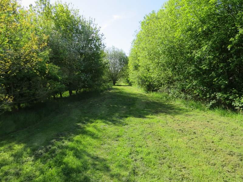
The bridleway going southwest from Newsets Wood
The bridleway going southwest from Newsets Wood
Looking left from the first valley bopttom along the bridleway going southwest from Newsets Wood - I would pass the white house later, on my way back across the valley
Looking left again, from the top of the next hill
The bridleway continuing (it ends in the valley, where Arrewig Lane continues up the opposite hillside)

Arrewig Lane (the name comes from the Saxon for 'way to the fields', apparrently)