Pete's Walks- Bison Hill and Totternhoe (page 3 of 4)
If you are considering walking this route yourself, please see my disclaimer. You may also like to see these notes about the maps and GPX files.
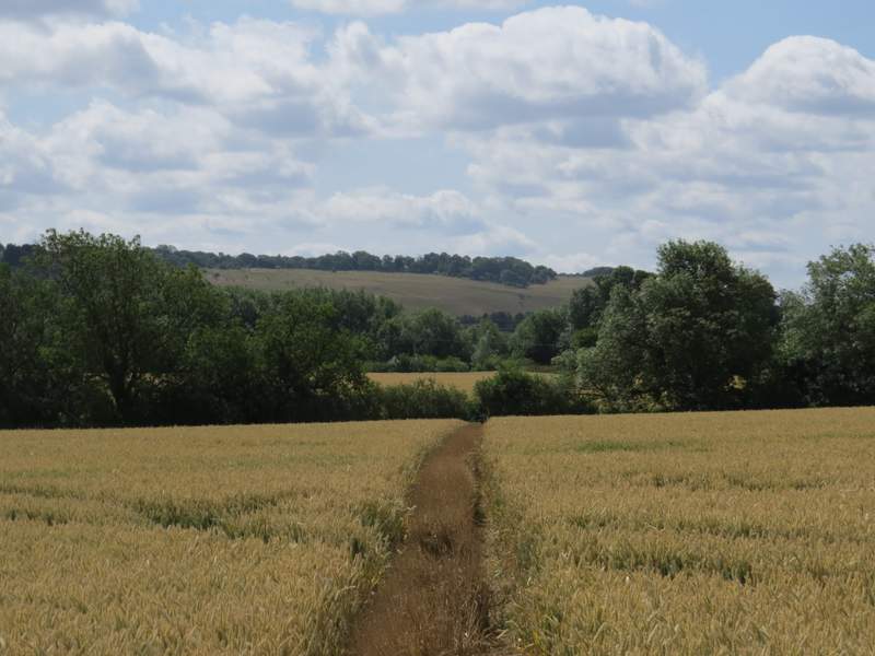
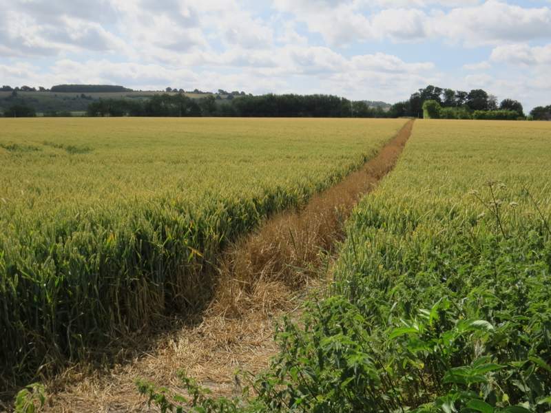
I turned right along the road for a couple of hundred yards or so, then took a footpath going half-left. It crossed the corner of a large empty paddock, then crossed a golden corn field. I then went over another footbridge, before the path took me through another corn field to reach a corner of Doolittle Lane.
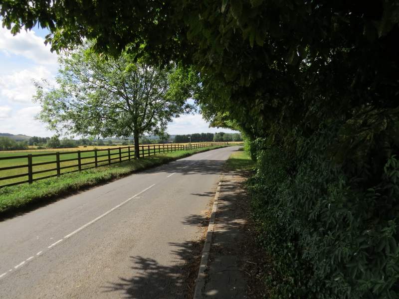
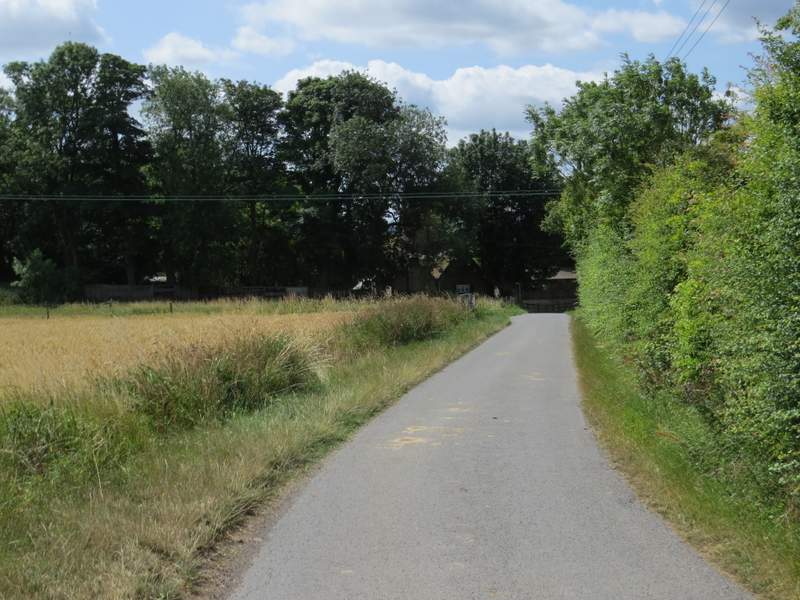
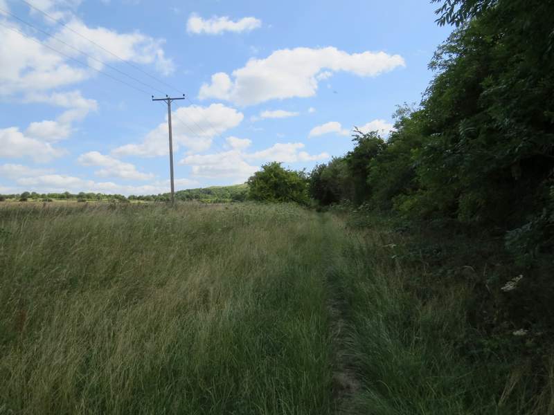
Church Road heading out of Totternhoe - I only went as far as the footpath sign on the left
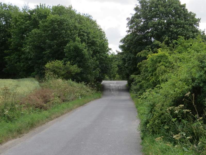
The start of the path from Church Road to Doolittle Lane
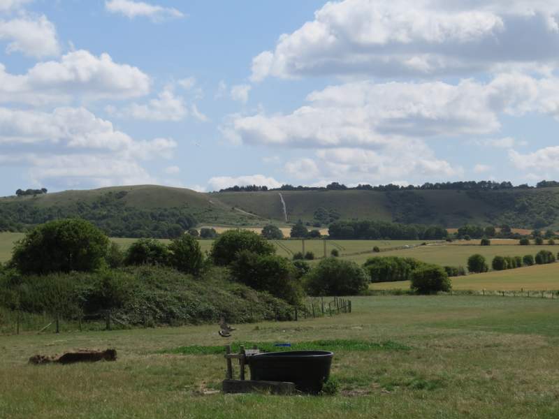
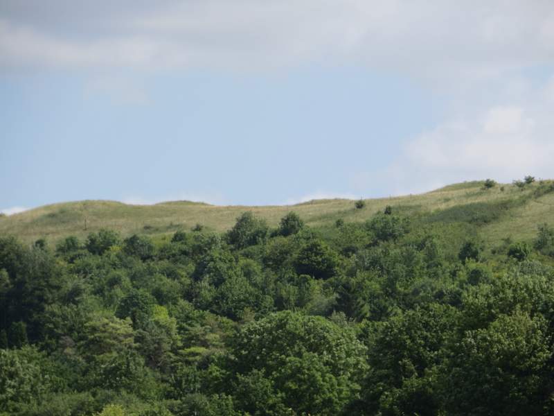
Close-up shot of Dunstable Downs from the same spot, Orange Hill on the left
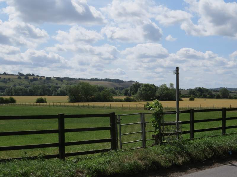
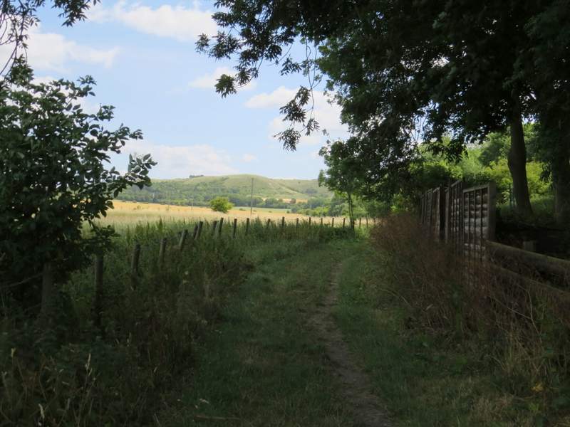
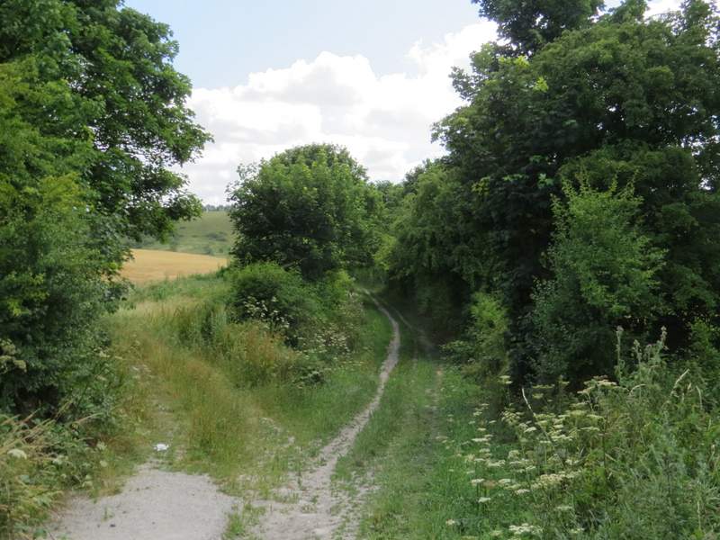
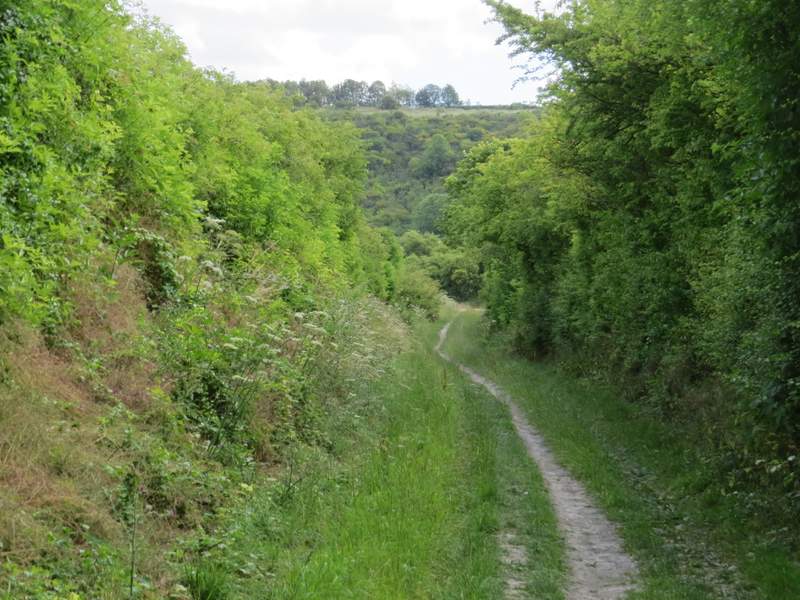
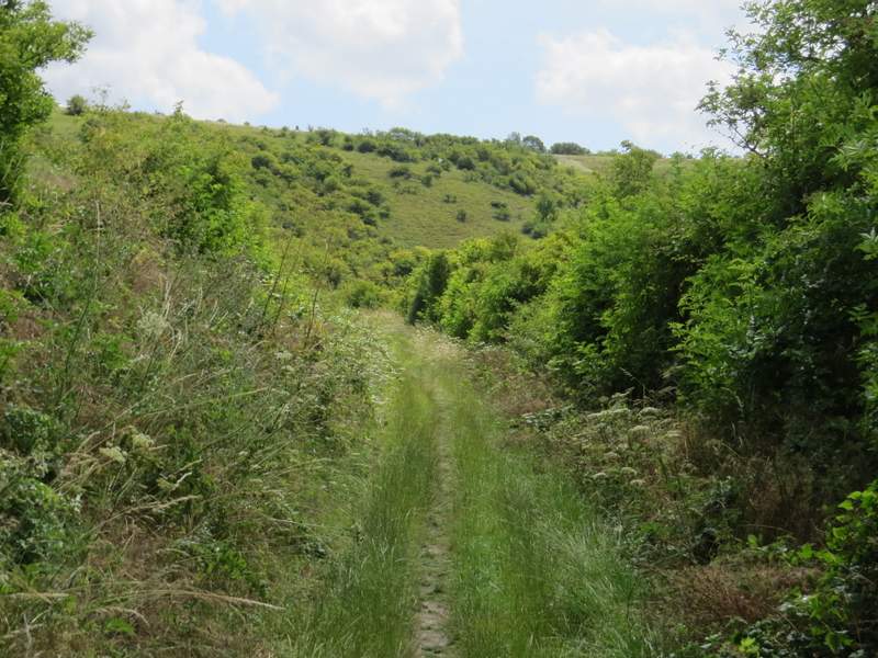
The path from Church Road to Doolittle Lane
The path from Church Road to Doolittle Lane
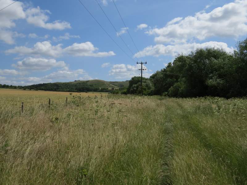
I was now back on vaguely familiar territory, having walked the next section to Wellhead Road once before in the opposite direction. I went almost straight on along the lane, and soon reached the buildings around Doolittle Mill, where I turned left onto a bridleway. After a while I went through a gate and the bridleway continued through a long narrow field of very tall grass, between a fence on my left and trees on my right. There were numerous butterflies here, including several Small Tortoiseshells at one point. Ahead of me I could see Orange Hill with the Five Knolls burial mounds prominent on the skyline to its left.
Doolittle Lane approaching Doolittle Mill
The start of the bridleway from Doolittle Mill to Wellhead Road
The bridleway from Doolittle Mill to Wellhead Road

The bridleway from Doolittle Mill to Wellhead Road - Orange Hill is in the centre of the shot, with most of the Five Knolls visible on the skyline to the left
Close-up shot of the Five Knolls
The bridleway from Doolittle Mill to Wellhead Road
Eventually I reached Wellhead Road, where I turned right and soon reached a junction with the main road running along the foot of the Downs. I carefully crossed over and continued down a hedge-lined footpath, with the London Gliding Club on the other side of the hedge of my right. After several hundred yards I reached a gate close to the foot of Dunstable Downs. I went through it and turned right.
Wellhead Road
The start of the path alongside the Gliding Club
The path alongside the Gliding Club
The path alongside the Gliding Club
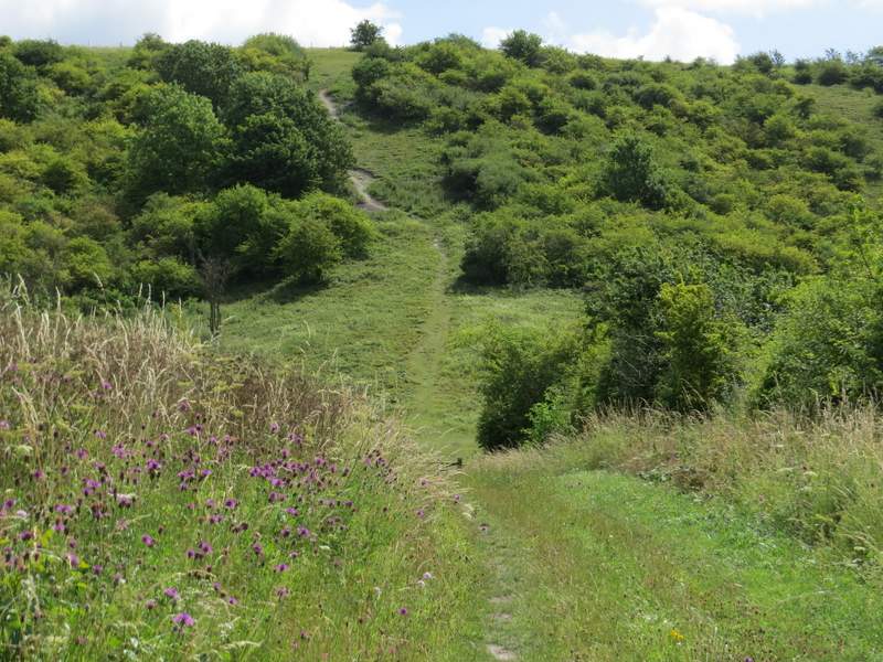
The path alongside the Gliding Club approaching Dunstable Downs (you can just see the top of the gate, where I turned right)