Pete's Walks- Redland End and Bryant's Bottom (page 2 of 3)
If you are considering walking this route yourself, please see my disclaimer. You may also like to see these notes about the maps and GPX files.
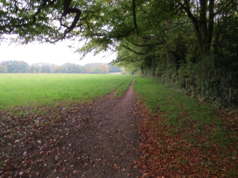
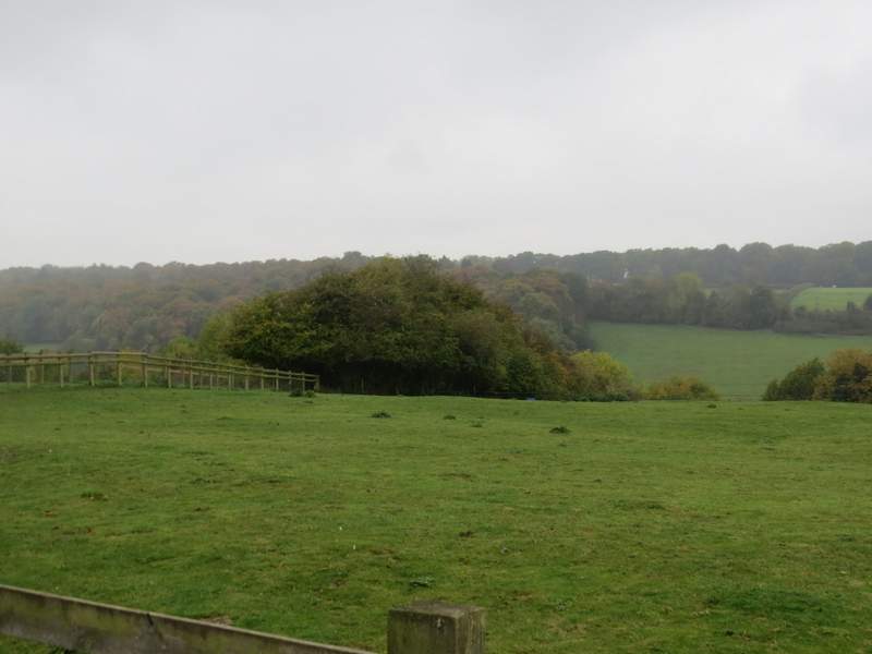
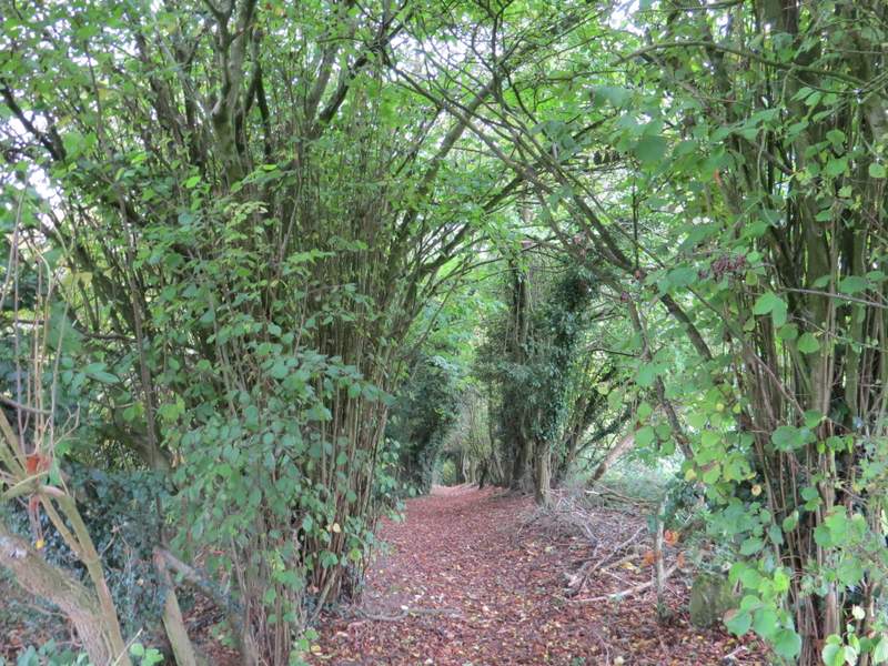
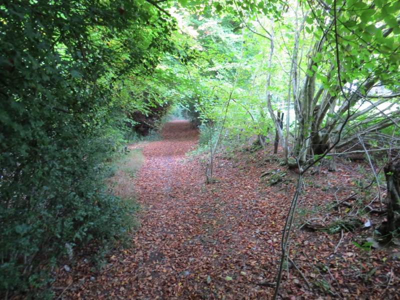
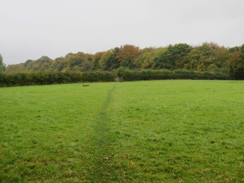
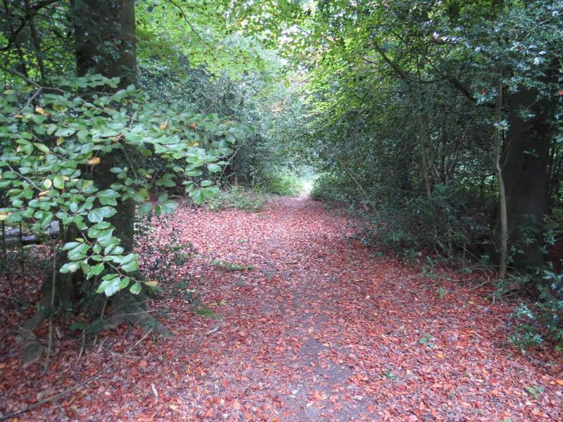
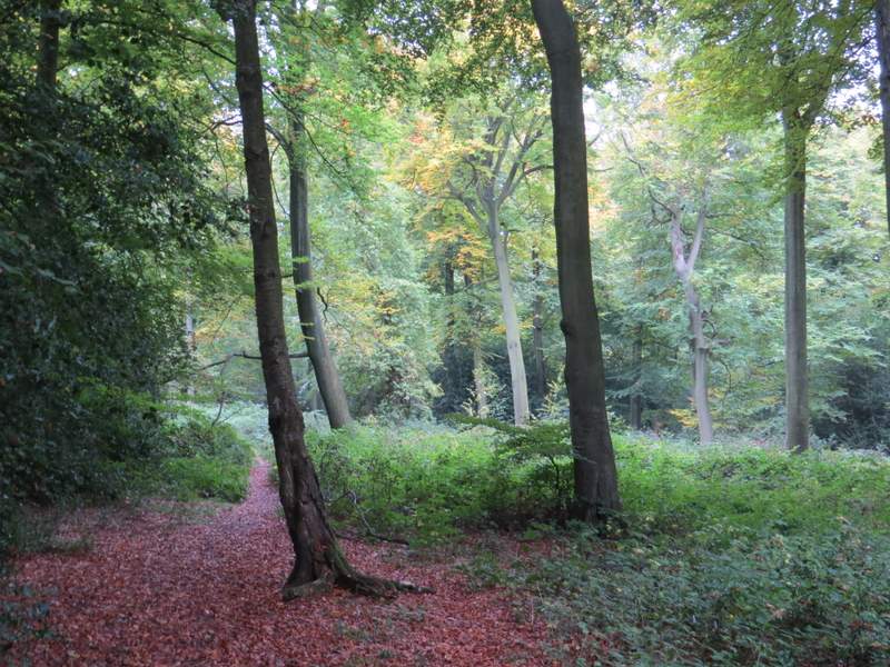
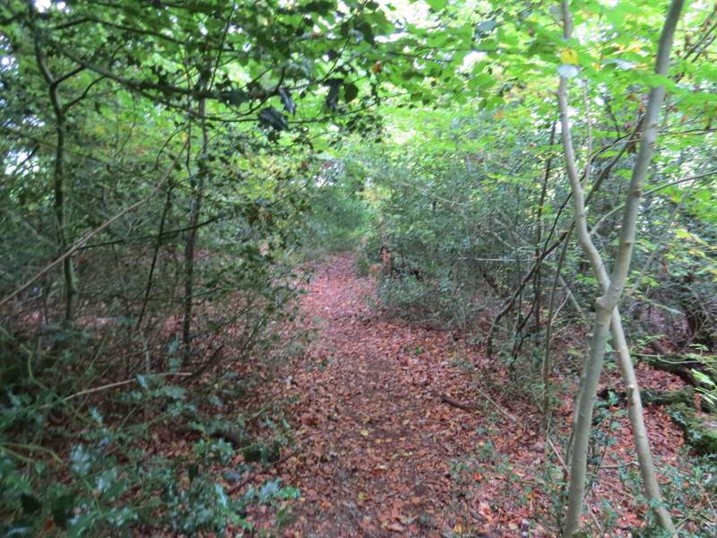
Across the lane junction, a footpath went half-left and uphill, across part of a very large empty pasture, to reach Nanfan Wood. It continued through a small corner of the wood, then turned right alongside the wood. The path went over the top of the hill, staying beside the wood as it dropped into a shallow valley. At the bottom of the valley, I turned right through a kissing-gate to enter Nanfan Wood again. There was immediately a path junction here, where I took the path going half-right. It was quite a long section through the wood, and just before I reached the far side I stopped on a log to eat my sandwiches - this was good timing, as there was quite a heavy shower now, from which the trees sheltered me.
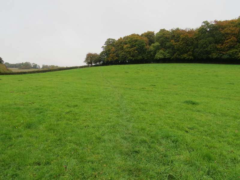
The path to Nanfan Wood
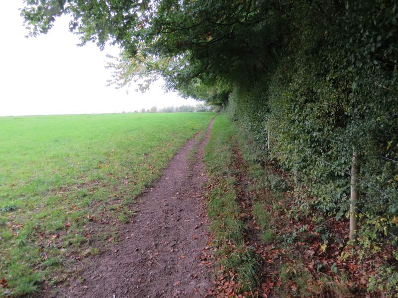
The path continuing beside Nanfan Wood
The path continuing beside Nanfan Wood
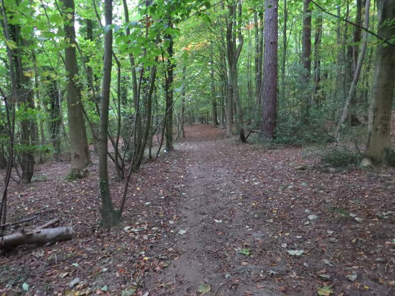
The footpath through Nanfan Wood
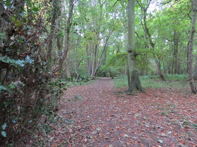
The footpath through Nanfan Wood
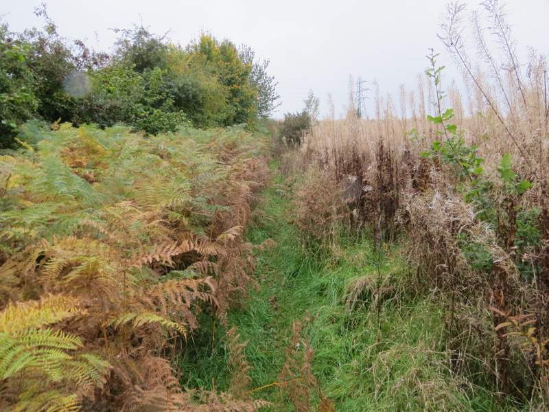
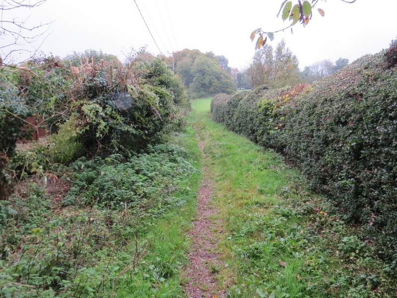
Beyond Nanfan Wood the path dropped very steeply downhill back to the lane I'd crossed at the T-junction earlier (I could see where I'd walked across this valley before, over to my right). Across the lane, a path climbed up Denner Hill on the other side of the valley, staying close to a hedgerow on my left and passing through bracken and dead Rosebay Willowherb. At the top of the slope, the path continued along a track between hedgerows and then passed Dennerhill Farm on my left. Where this track, now a drive, met another one, I turned very sharply left, with a paddock on my right. I then took a path on the right, initially between paddock fences and then with overgrown hedges either side, dropping very steeply (again) to reach the road through Bryant's Bottom (the name of both the valley and the settlement here).
The path continuing from Nanfan Wood - the path is so steep it drops out of view, you can't see all of it going down to the metal kissing-gate. The route continues straight up the other side of the valley, just right of the hedgerow
The path up Denner Hill, the other side of the valley
The path continuing towards Dennerhill Farm
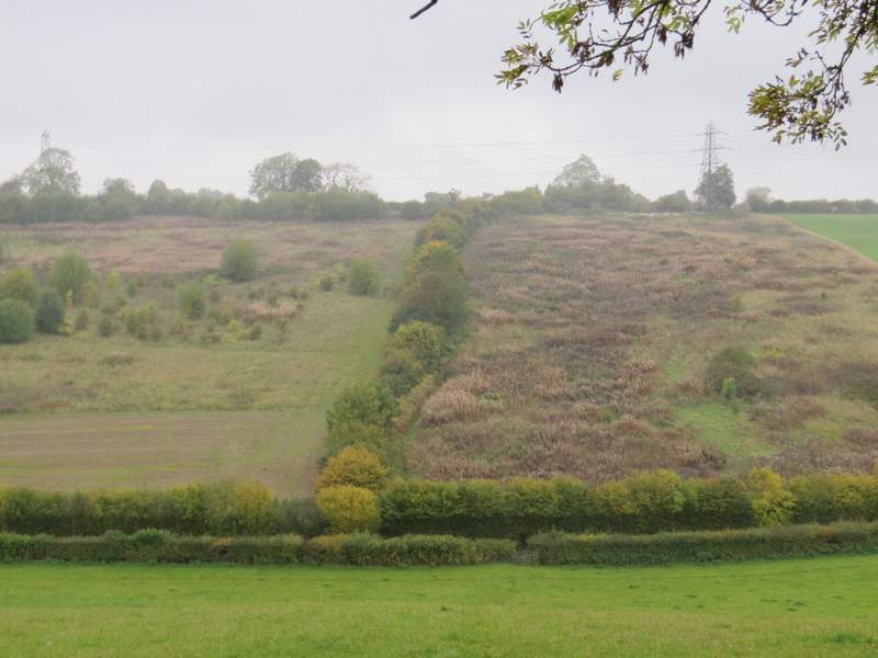
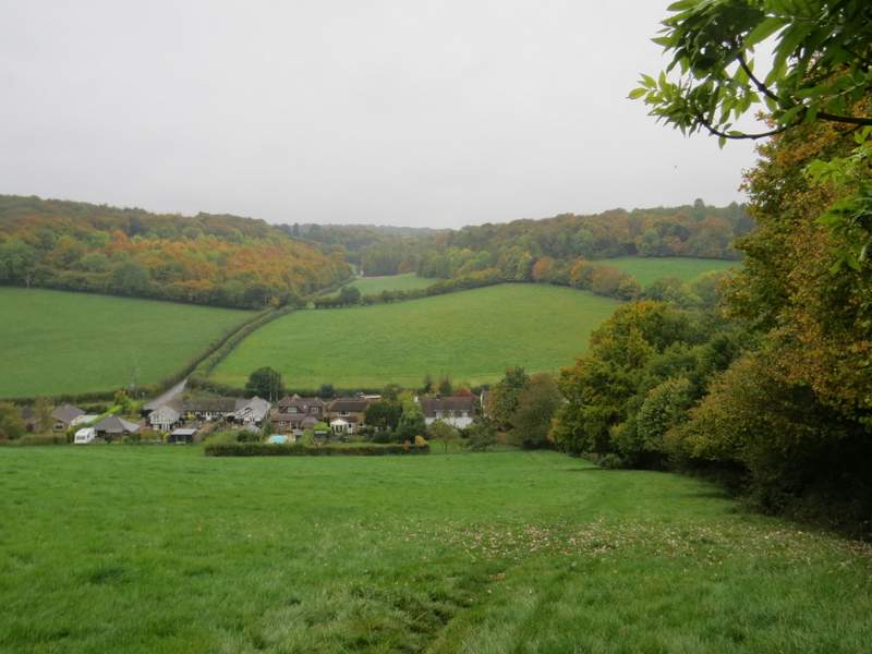
View from near Dennerhill Farm - the route continues downhill between the paddock fences and then trees To Bryant's Bottom, then up the other side to Piggott's Wood
The path from Dennerhill Farm down to Bryant's Bottom
I went a short distance left (shorter than I remembered from my walk in April) then turned right along a path between hedges and uphill to Piggott's Wood. It was quite steep up through the wood for a while, but then the path levelled out as it turned left. When I came to a drive along the edge of the wood, I crossed over and continued along a path that went half-left across two paddocks (separated by a tall hedge) to reach Hill Wood. A few yards into the wood I reached a path junction where I turned left. I stayed on this path, ignoring paths off to the right (one of which I came up when I did this walk in April - so I was now on the Alternative 1 shown on the Google map), so that the northern edge of the wood was always close by on my left. On nearing a wooden building of some sort, I turned right, the new path dropping downhill, now with the eastern edge of the wood on my left. On leaving the wood at a stile. The path dropped downhill along the edge of a large empty pasture, to reach the road through the village of Upper North Dean.
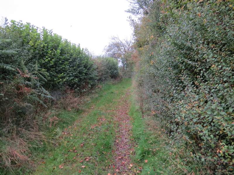
The start of the path from Bryant's Bottom to Piggott's Wood
The path continuing through Piggott's Wood, after it turns left and levels out
The path from Piggott's Wood, crossing the first paddock
The path through Hill's Wood, along the northern edge of the wood
The path through Hill's Wood, along the northern edge of the wood
The path through Hill's Wood, going down the eastern side of the wood
The path from Hill's Wood down to Upper North Dean