Pete's Walks- Bradenham and Studley Green (page 2 of 4)
If you are considering walking this route yourself, please see my disclaimer. You may also like to see these notes about the maps and GPX files.
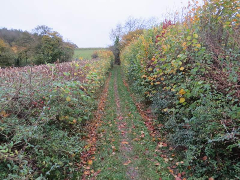
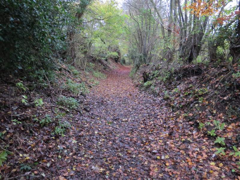
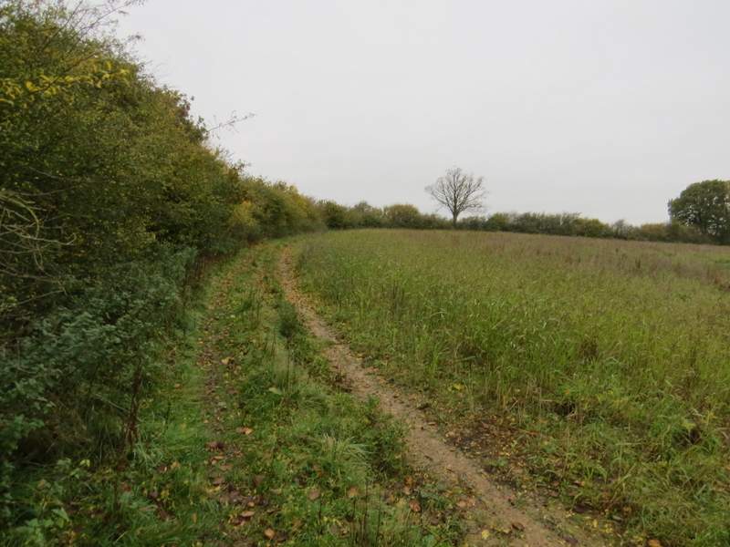
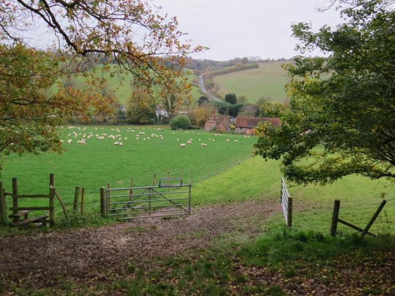
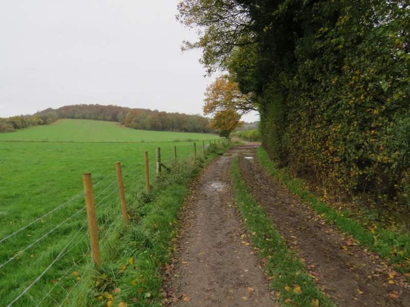
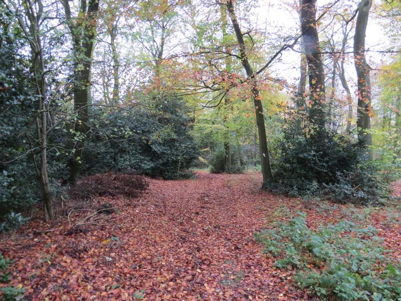
Just a few yards to my left a bridleway started on the other side of the lane - I was now entering what was new territory for me. The bridleway went past the grounds of a very attractive old house, then continued gently uphill between hedgerows (which were currently being trimmed). The bridleway steepened as it approached the end of Chawley Wood (the spelling Chorley or Chawley seems to be used somewhat randomly round here), and continued as a 'sunken lane' or 'hollow way' as it rose through the southern end of the wood. On reaching the far side of the wood the bridleway turned left, but I followed a footpath through a hedge gap ahead of me, then turned left and followed the hedge on my left. This path eventually went left through the hedge, then turned right for a few yards to a field corner, before crossing a fence and turning left.
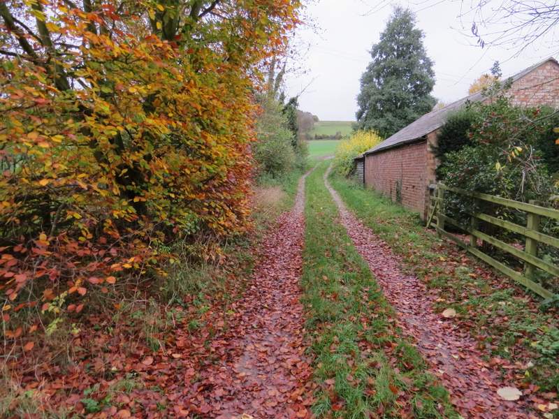
The start of the bridleway from Chorley
The bridleway from Chorley
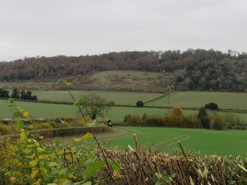
Looking back the way I'd come - the path through the nature reserve is just visible left of the top of the pylon. You can see the tractors that were trimming the hedges either side of the bridleway.
The bridleway from Chorley, now running along the edge of Chawley Wood
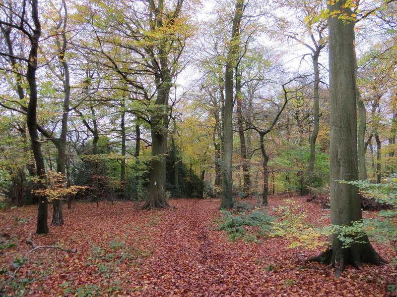
The footpath that started from the corner of Chawley Wood
The path now followed the wire fence on my left through a huge cattle pasture (complete with a mixed assortment of cows, one or two hundred yards to my right). I went straight on at a path crossroads (I'd used the crossing path on that West Wycombe, Green End, Bradenham, Downley walk I did in May, going right towards Green End Farm and Green End), still following the wire fence on my left. The path went through a gate and then over a stile, before descending steeply through an empty pasture, following a hedgerow on my left - I had a view to the village of Piddington at one point. The path then went over a stile and followed a fence on the right through a sheep pasture to reach a farmyard and then a track, where I turned right.
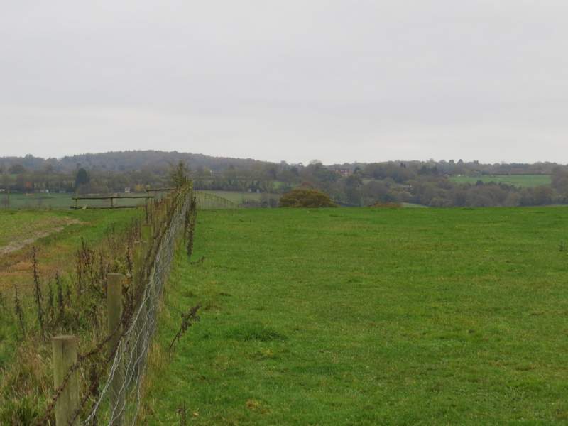
The path following the fence of a huge cattle pasture
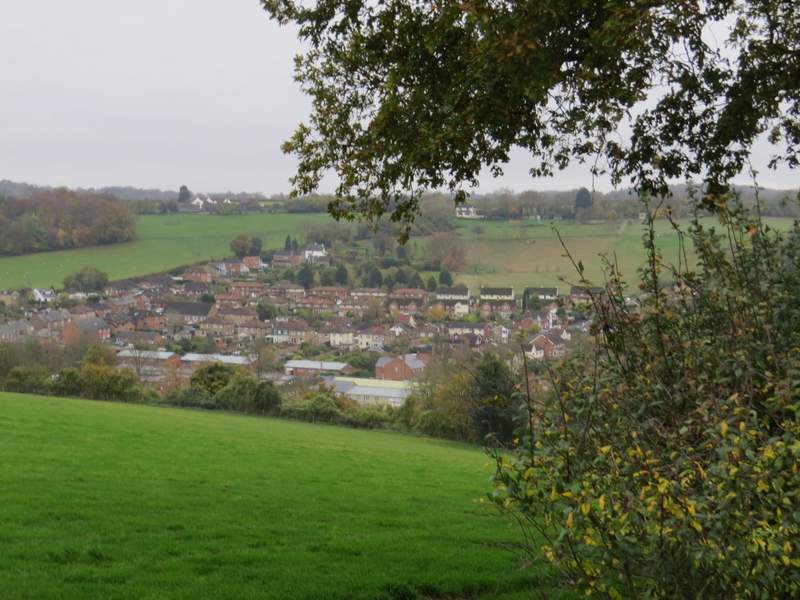
View over Piddington
The path descending through an empty pasture
The path goes over the stile and follows the fence down to the farmyard
I turned right along the track, which was heading to Bottom Wood, a nature reserve managed by the Chiltern Society. I had walked this track a couple of times, but was soon back in unknown territory when I took a path that forked left from the track (where the track passed through a hedge gap). This path soon entered a wood (not named on either the Google or OS maps, possibly it's all part of Bottom Wood). When I planned the walk I just tacked this path on as I'd not walked it before and as I remembered the bridleway through Bottom Wood being muddy and a bit monotonous. I was soon glad that I had, as I found the path to be rather intriguing. It was immediately apparent that it was another sunken lane or 'hollow way', a route that had worn a groove in the hillside over centuries of use. But as it turned left and continued quite gently uphill through the wood, the banks on either side got bigger - I can't remember walking a sunken lane that had worn such a deep groove. The bank on my right was about 12 feet high, the one on my left possibly reaching 18 foot high (I'm estimating by comparing my own height of just over six foot). The path itself was quite wide, so I could well imagine that it had once been used by carts and carriages. As it ended on Old Oxford Road, which was clearly once part of the Oxford-London road before a slight change to what is now the A40, I could only think that this must be an even older part of that route. However, my theory is weakened by the fact that this is a footpath - surely it would be a public bridleway if it was formerly part of the Oxford-London route?
The track to Bottom Wood
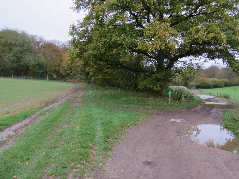
The fork where I left the track (I went straight on, the track goes slightly right)
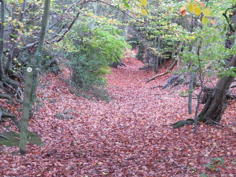
The path through the unnamed wood, heading to Old Oxford Road
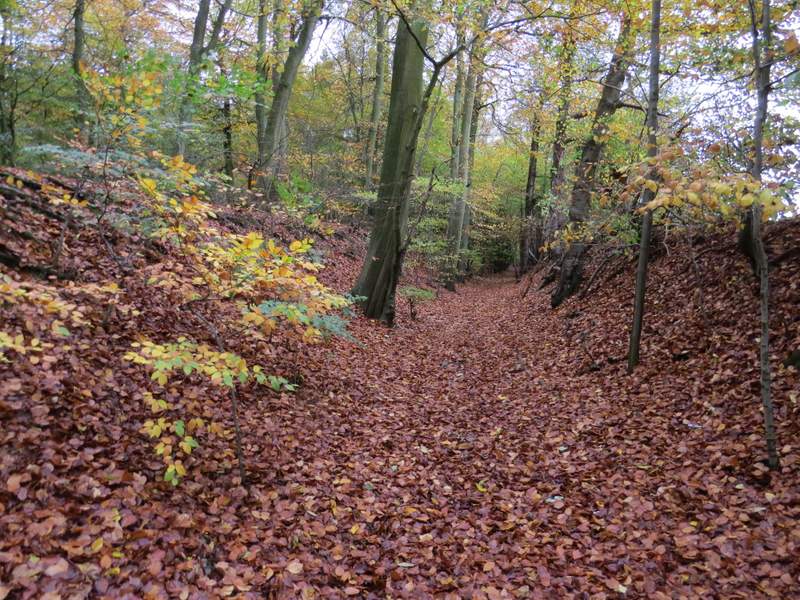
The path through the unnamed wood, heading to Old Oxford Road - note the steep banks either side
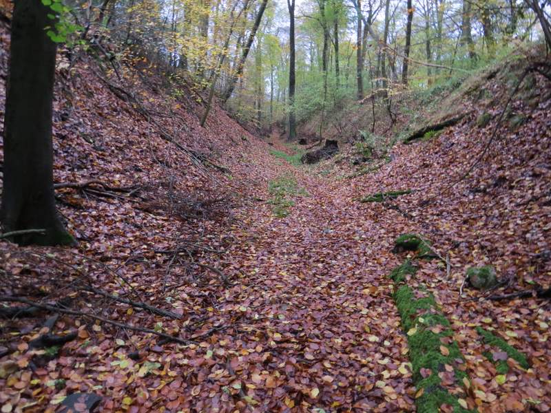
The path through the unnamed wood, heading to Old Oxford Road - see how high the banks are on either side now
The path through the unnamed wood, heading to Old Oxford Road
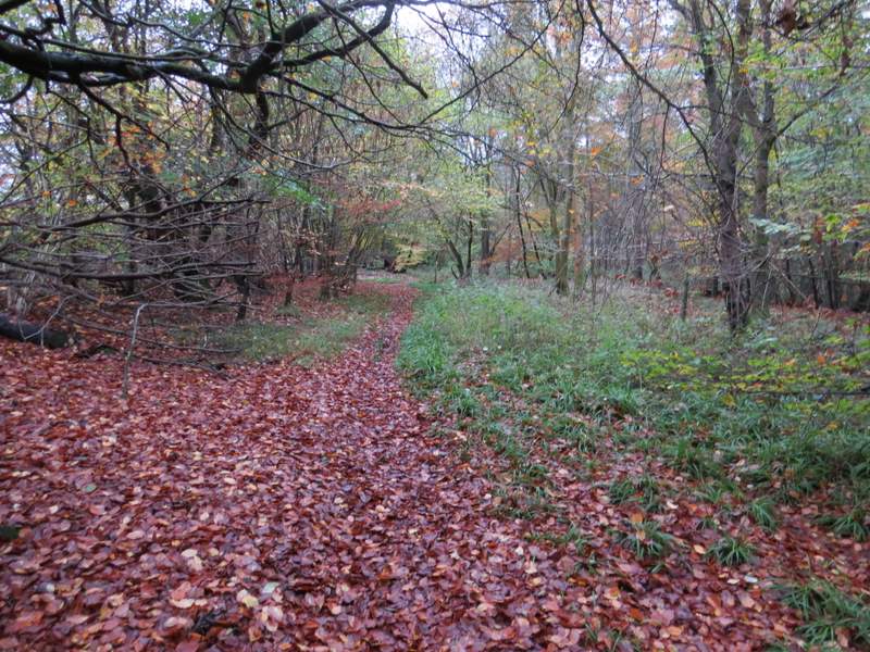
At the top of the hill the banks disappeared, and the path soon turned left and reached Old London Road (on the Google map it's named Old Dashwood Hill). I turned right and soon reached part of Studley Green. When I reached a bridleway sign on the right, I stopped to eat my packed lunch (it was now about 12:40pm) on a convenient bench (a memorial to a Frederick Cavender). I then followed the bridleway quite steeply downhill through the same unnamed wood to return to the track I'd been on before, where I turned left to progress through Bottom Wood.
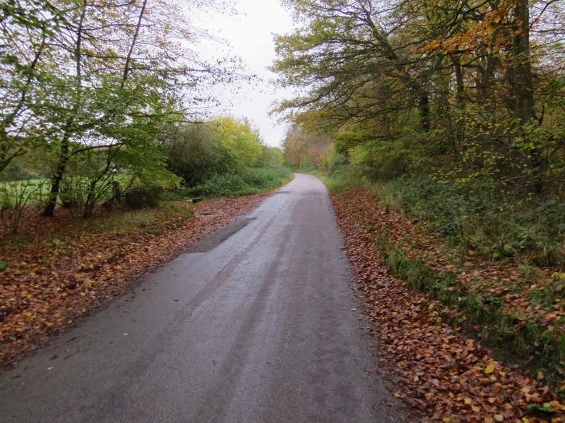
Old Oxford Road
The bridleway going back down to Bottom Wood
The bridleway going back down to Bottom Wood