Pete's Walks- Barton and Deacon Hill (page 3 of 3)
If you are considering walking this route yourself, please see my disclaimer. You may also like to see these notes about the maps and GPX files.
I turned left, leaving the track, but almost immediately turned right along the edge of a field. Beyond the field, the path soon dropped down a slope of rough grass, part of Telegraph Hill. At the bottom I went a few yards right, then turned left back on to the Icknield Way track I'd followed earlier. This continued through a belt of trees for a while, then followed a hedgerow on my left - I wasn't taking many photos now because of the rain, but I needed to stop here to change the battery in my camera. The track ended at a bend in a road (the car park and picnic area that the OS map shows here has been closed for several years and is overgrown, though possibly a couple of small cars could park at the very end of the track by the bend), where I went straight on, following a good verge on the right. When the road turned left, the track re-appeared and I continued down it - it's usually a very pleasant track to follow, but I now just had my head down against the rain and hurried on as fast as my doddery old legs allowed.
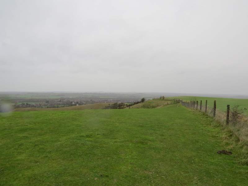
The footpath from near the top of the Pegsdon Hills
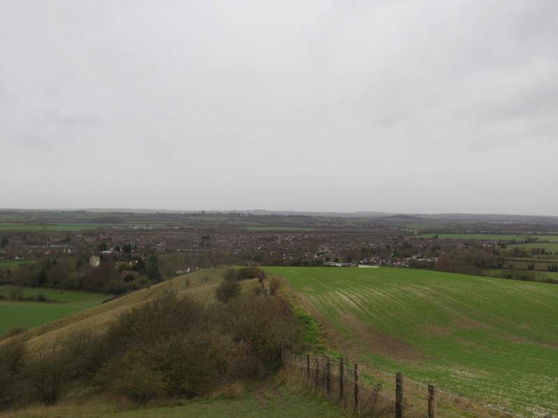
The path descending Telegraph Hill

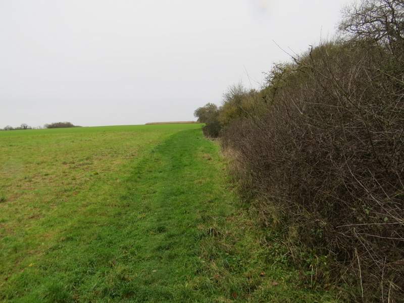
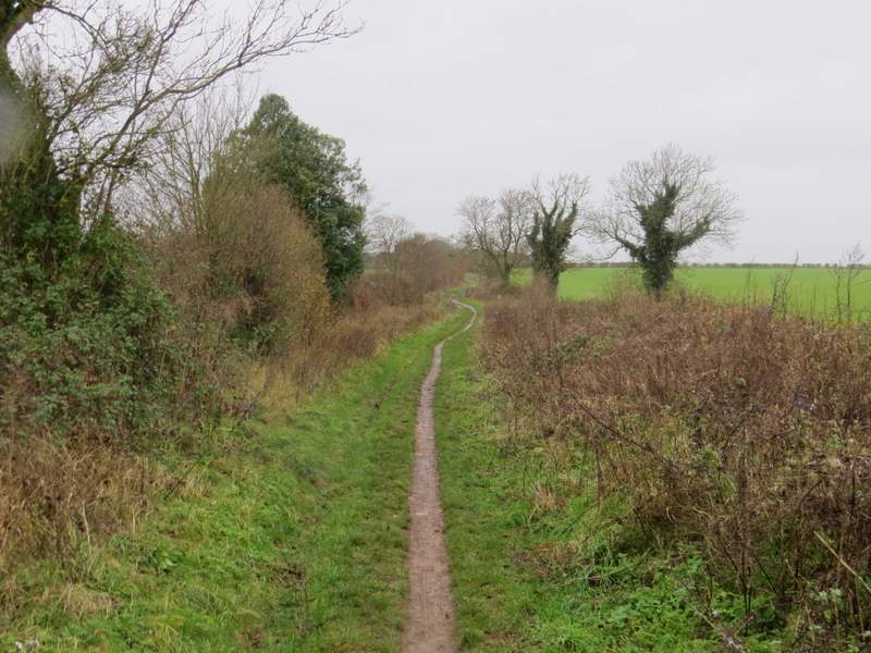
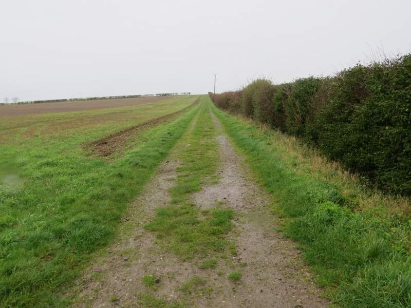
Back on the Icknield Way
The Icknield Way, not far from the road
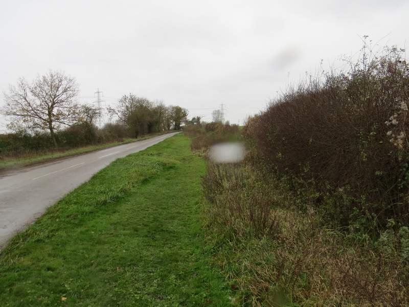
The short road section
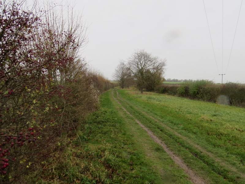
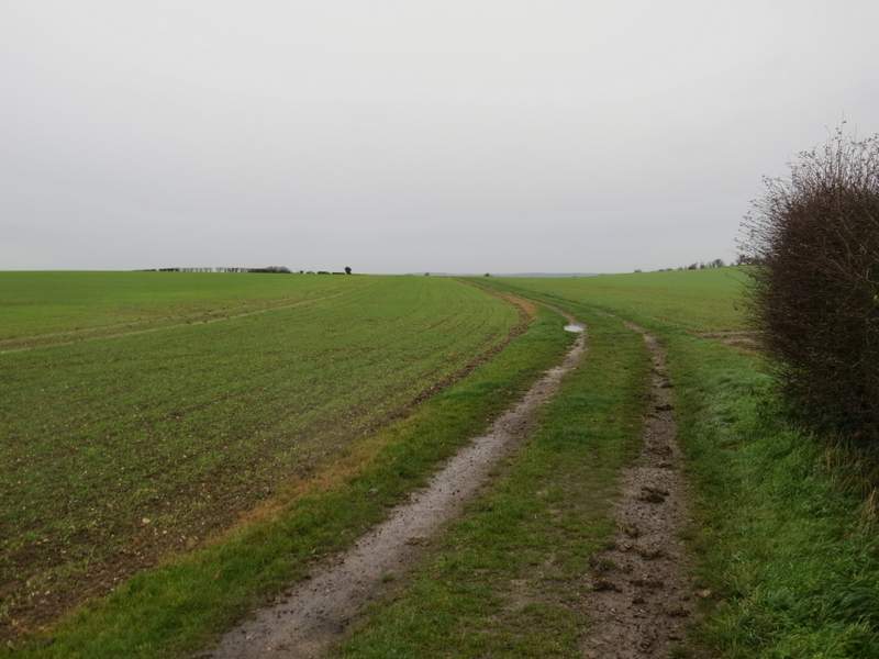
The Icknield Way again, after the short road section
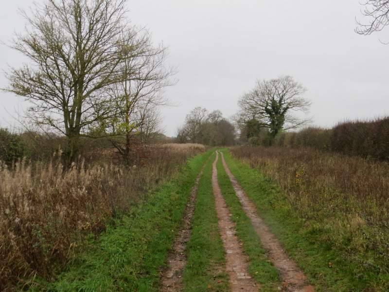
The Icknield Way again, after the short road section
After getting on for three quarters of a mile I came to track crossroads where I turned right, following a hedgerow on my right. After just over half a mile I reached a minor road, where I went left for about a hundred yards, then took a bridleway starting on the other side. Again there was a hedge on the right at first, the bridleway then bearing slightly left when the hedge ended. At the next field boundary I went on a few yards then went right through a kissing gate, turning right almost immediately to reach another gate.
The start of the bridleway going north from the Icknield Way (part of the John Bunyan Trail)
The bridleway going north from the Icknield Way
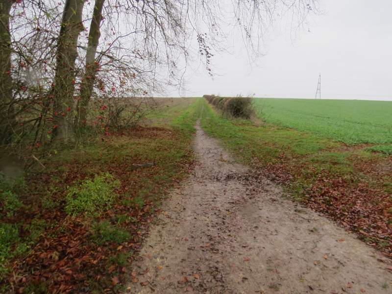
The start of the next bridleway, beyond another short road section
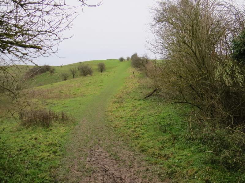
The bridleway continuing toward the Barton Hill nature reserve
I then went straight on along the southern edge of the Barton Hills nature reserve, with the hills and valley stretching away on my left. In the next corner I turned left along the eastern side of the nature reserve, following a fence on my right. The path here was quite muddy and slippery in places, and it was very windy here (40mph gusts were forecast, but again for 4pm). There were views ahead over Barton and the flat lands beyond, but obviously there were somewhat limited in today's conditions. I had to take care descending the hillside at the end of the path, which was very muddy and slippery (even where it was on 'steps'). At the foot of the slope, I went through a kissing-gate and turned right, following a path round the end of a field and past a paddock on my left, to reach the end of Church Road in Barton. I followed it as far as the church, where I turned left to retrace my steps down the alley and across the recreation ground back to my parked car.
I don't know what it is with me and the Barton Hills - I don't get caught out in bad weather very often (despite the best efforts of the people behind the BBC Weather web site!), but this is certainly the third and very possibly the fourth time I've had rain and wind here. I always remember getting soaked here while struggling to get my waterproofs on in a very strong wind when I first walked the Chiltern Way in 2005. To be fair, it is another delightful spot, and I know I have had some really good weather here too on other visits.
The path along the southern edge of the Barton Hills nature reserve
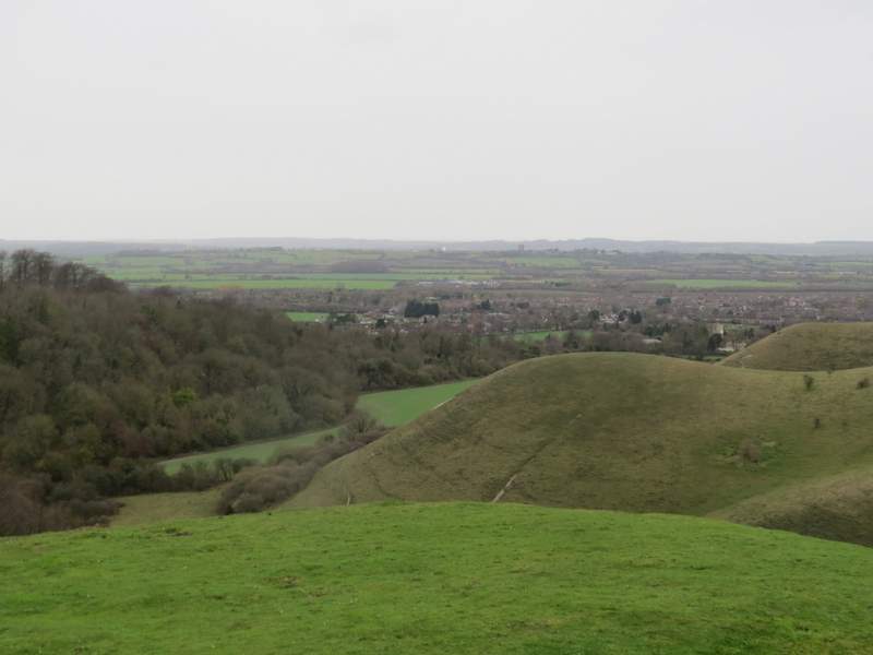
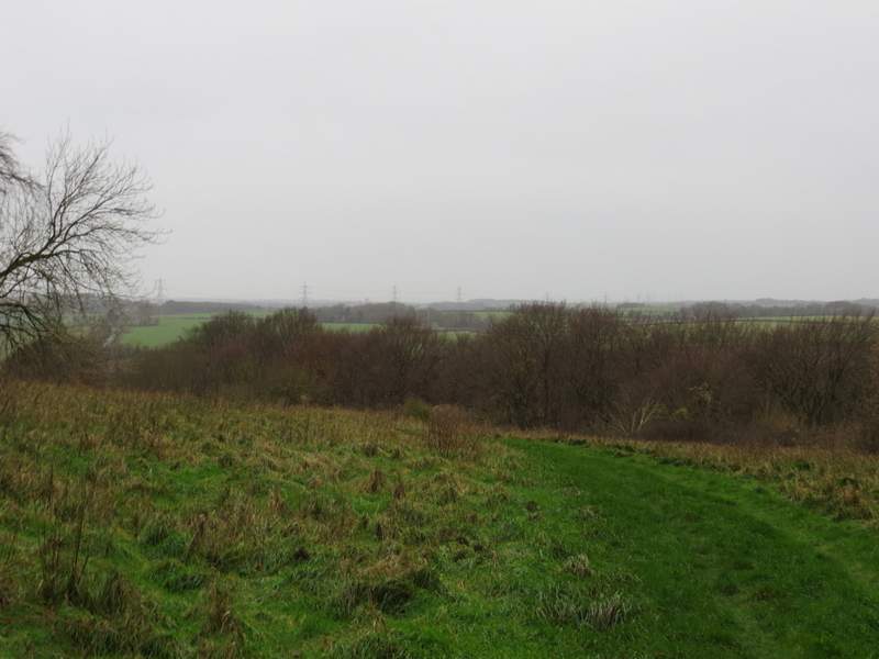
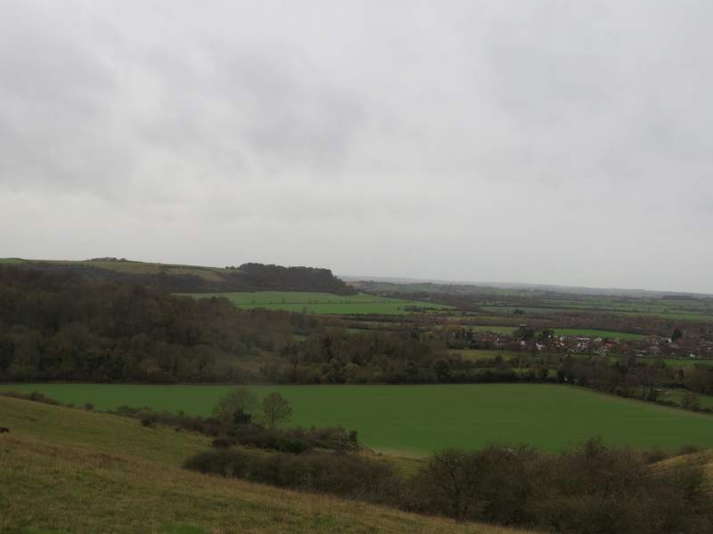
Barton Hills and Barton
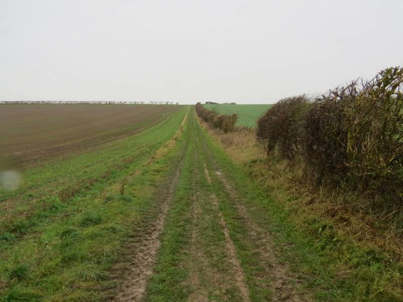
The path along the eastern edge of the Barton Hills nature reserve

The path along the eastern edge of the Barton Hills nature reserve
The path along the eastern edge of the Barton Hills nature reserve
Looking west towards Sharpenhoe Clappers
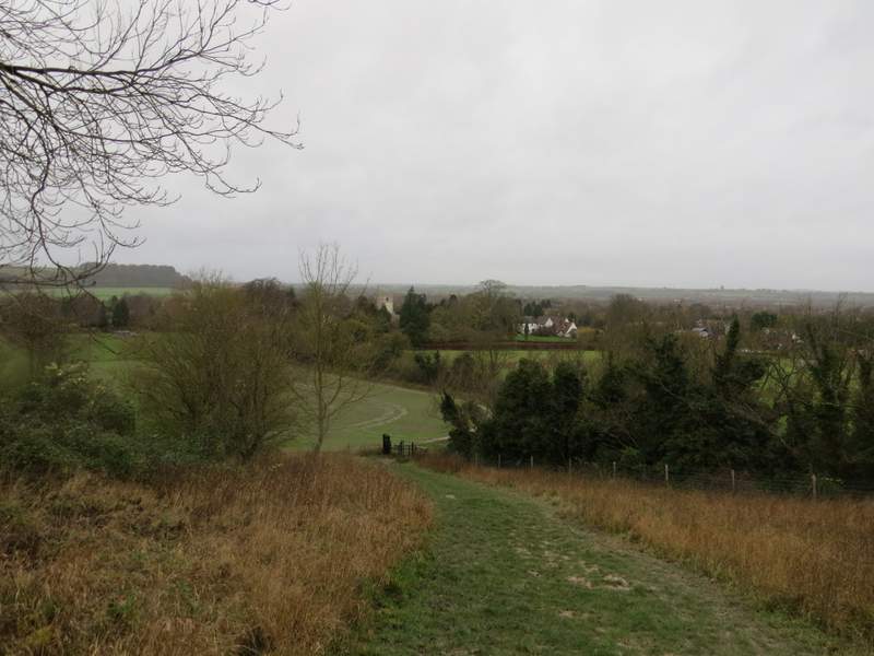
The path descending back to Barton (you can just see the church tower in the centre of the photo)
I rather regret doing this walk now, and wish I'd saved it for a nicer day. At least I saw some blue sky at the start of the walk, which was more than could be said of my two previous walks, and the rain had the decency to hold off until I'd finished the best section of the walk, over the Pegsdon Hills and along to the top of Deacon Hill. Despite the rain and wind and generally very grey conditions, I still enjoyed the walk, and I still think this is one of the best places to walk in all of the Chilterns. I'm bound to be back here on a nice sunny day next year!