Pete's Walks- Kensworth and Dunstable Downs (page 2 of 2)
If you are considering walking this route yourself, please see my disclaimer. You may also like to see these notes about the maps and GPX files.
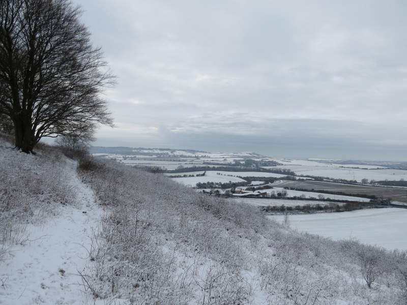
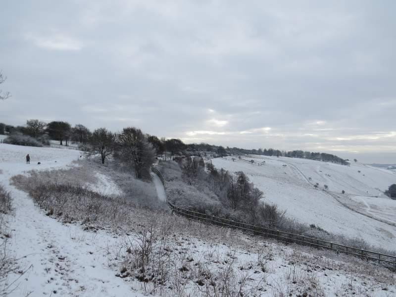
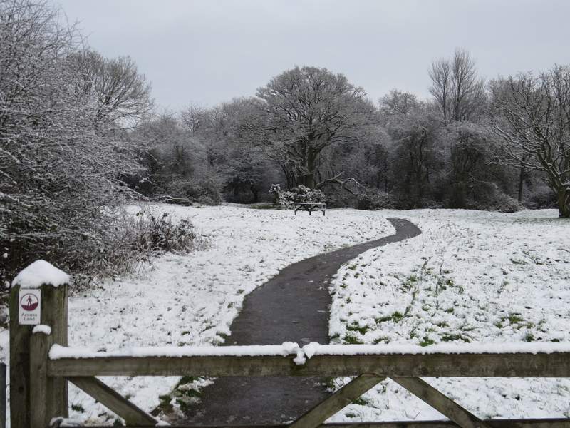
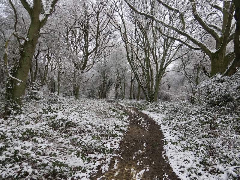
It was very pleasant following the path steadily downhill. Near the bottom of the slope there was a good view back along the Downs. The path then levelled out for a short distance, before curving left and starting up Bison Hill, again in a Drovers Way that had worn a groove in the hillside. Towards the top of the hill I crossed another such Drovers Way (looking right, the slopes either side framed a view of Ivinghoe Beacon). There was then a steep section but it was very brief, and then the path more or less levelled out, turning to the right and contouring round the top of Bison Hill. It rose slightly again as it turned left, then led straight on towards the car park.
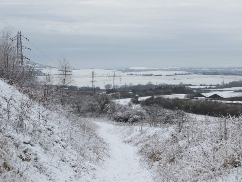
The path descending the Downs
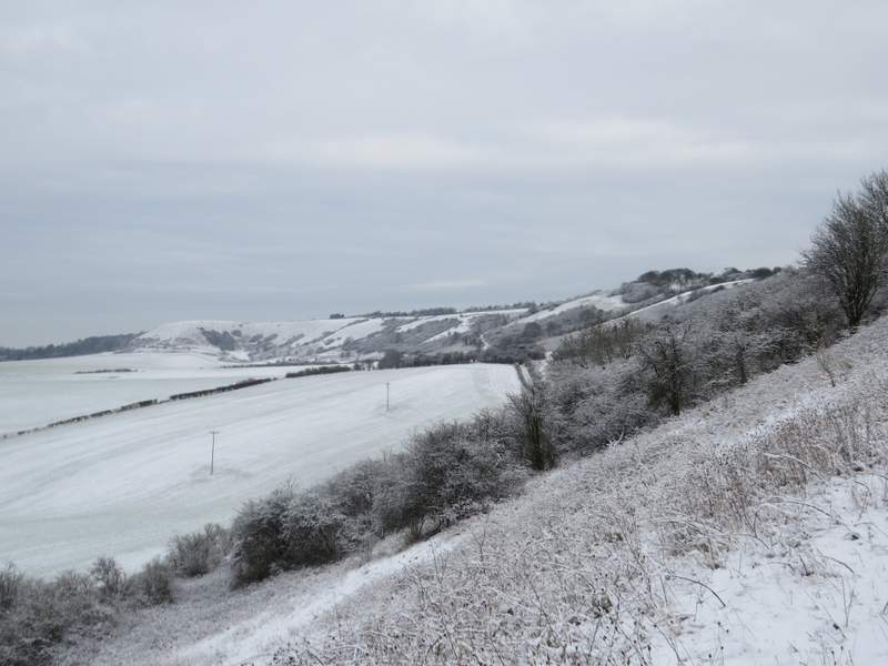
Looking back along the Downs, from further along the same path
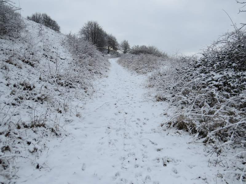
The path continuing up Bison Hill
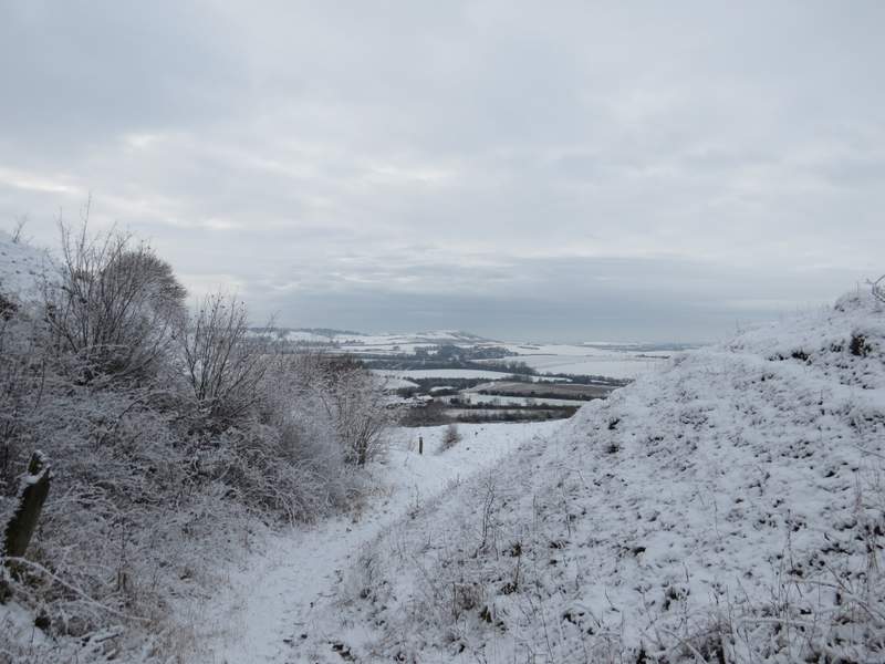
Looking right, towards Ivinghoe Beacon
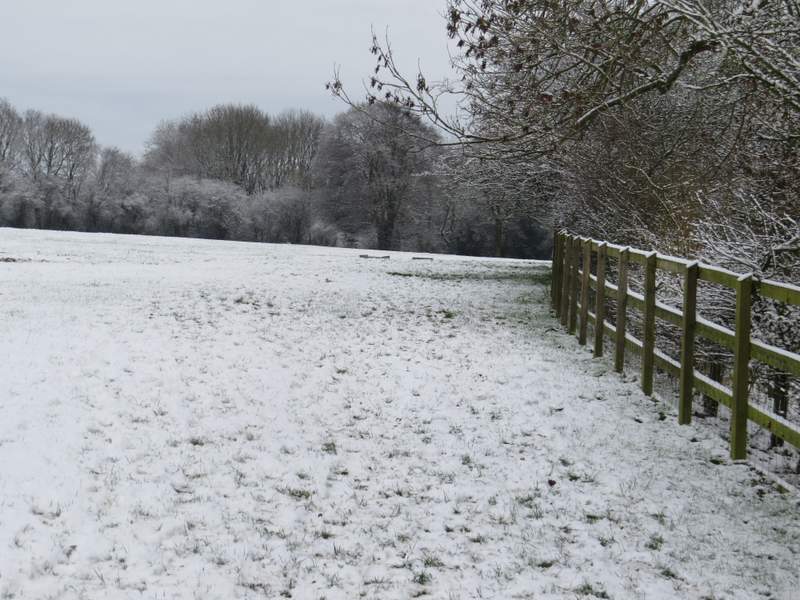
The path contouring round the top of Bison Hill
The path continuing towards the car park on Bison Hill
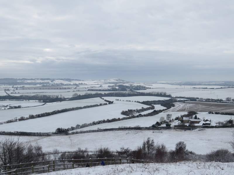
Looking towards Ivinghoe Beacon from Bison Hill
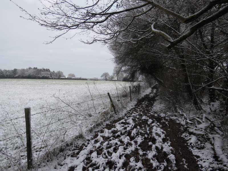
I went through a kissing-gate and went on a few yards, then turned left at a path crossroads shortly before the car park. Soon I was following a very muddy bridleway between hedgerows. I ignored the first footpath on the left, but took the second one, which started immediately after the first house I reached. The path followed the right-hand fence of a large field containing a number of Jacob's Sheep, plus a couple of small black cows. I then continued through Whipsnade Tree cathedral, staying close to a hedgerow on my right. From its entrance and car park I followed a short drive to reach the road through Whipsnade.
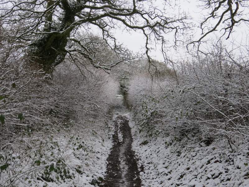
The bridleway from Bison Hill to Whipsnade
The path to Whipsnade Tree Cathedral
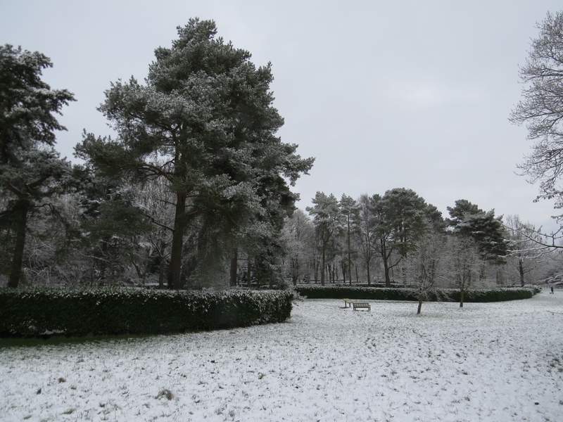
Whipsnade Tree Cathedral
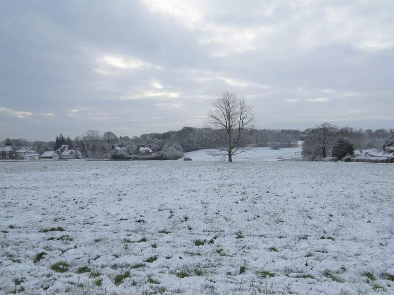
Whipsnade
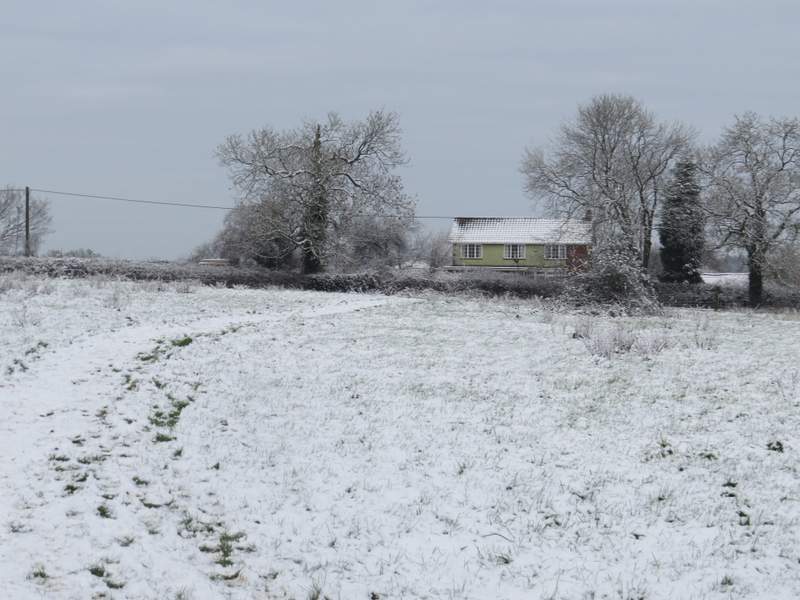
I crossed the road and made my way across part of the green towards the village church. I then continued along a faint path through more of the green to return to the road almost opposite the Hunter's Lodge restaurant (a prominent building on its own at the foot of the hill). I went a few yards along the road, then went half-right (by a gate that can close the road, though it's never used nowadays) down a short track that is the old continuation of a lane. At its end I went a few yards left to a roundabout (I could have got here by just following the road) and made my way to the small car park on Whipsnade Heath. I followed the path from the car park straight on through the small wooded heath, and then continued along it between a hedge and a fence. Finally the path crossed a meadow to reach Common Road, Kensworth, where I turned right to return home.
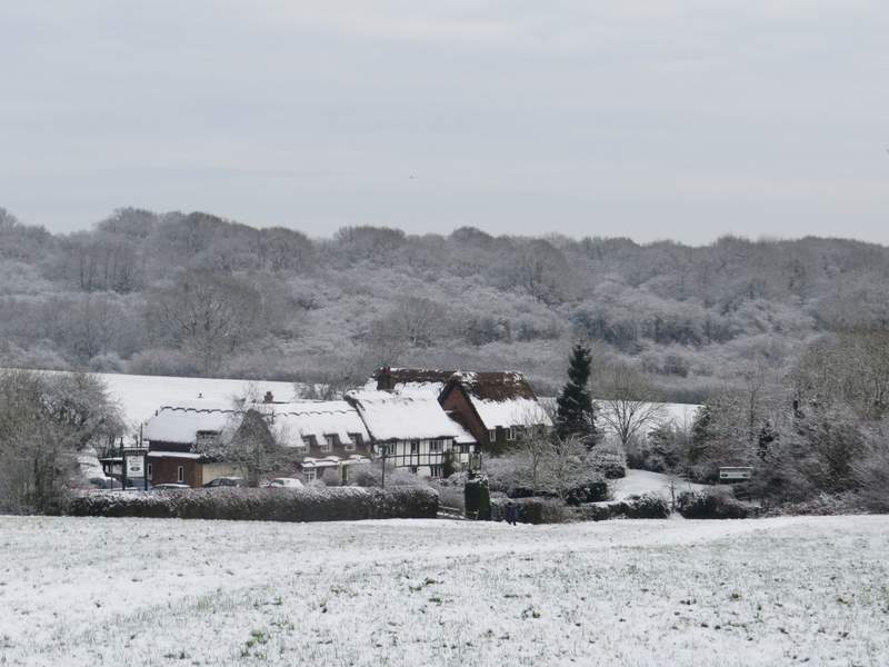
Looking towards Whipsnade Heath, from near Whipsnade church. The building is the Hunter's Lodge bar and restaurant.
The path through Whipsnade Heath
The path through Whipsnade Heath
The path continuing from Whipsnade Heath to Kensworth
The path continuing from Whipsnade Heath to Kensworth
Conditions weren't perfect for a walk in the snow - there was only an inch or so of snow, the skies were grey and the snow was slowly thawing. Nevertheless I enjoyed this short local walk, everything looks so different when shrouded in white. I had intended to walk a bit further, going on to Studham Common, but had to shorten the walk as one of my boots was proving to be far from waterproof (I ended up with a large and nasty blister after my previous walk).