Pete's Walks- Ibstone, Wheeler End and Skirmett (page 1 of 5)
If you are considering walking this route yourself, please see my disclaimer. You may also like to see these notes about the maps and GPX files.
Google map of the walkDownload GPX file of the walk
I did this circular walk of about 13.4 miles on Saturday, January 23rd, 2016. I had walked the route once before in the opposite direction, back in December 2011. Some of the paths that I'd walked for the first time then I have since included in other walks, but there a couple of paths today that I was walking for the first time in this direction.
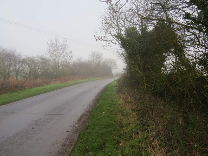
I parked along the road through Ibstone, just past The Fox public house, Grid Reference SU 752938 (the spaces where you used to be able to park on the other side of the road next to the wooded part of the common had been blocked up with large logs). It was just after 10.10am that I started walking, going down the road with the common on my right. I was disappointed because it was very foggy, and I was initially annoyed (yet again!) with the BBC Weather web site which had said there wouldn't be any fog - but then I realised it was my mistake, I'd looked at the forecast for Chinnor and, fair enough, it was bright and sunny in Chinnor when I'd driven through it, the fog was only on top of the Chilterns! I've hopefully learnt my mistake and will look at the forecast for Stokenchurch from now on.
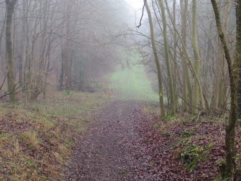
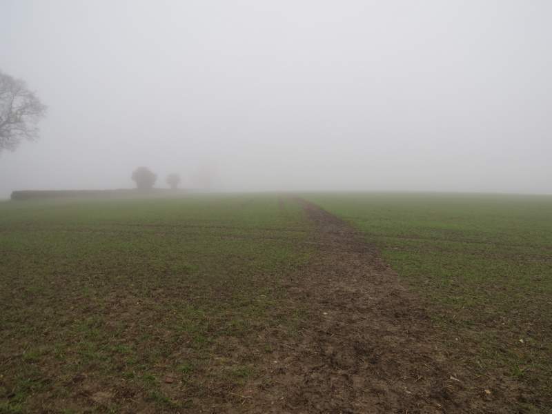
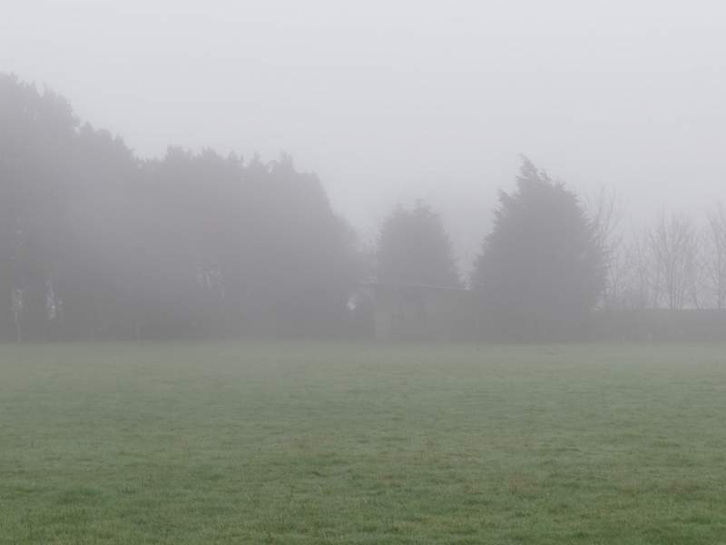
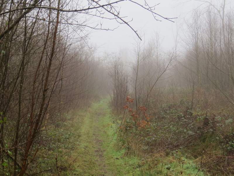
Two or three hundred yards after I passed the end of the common, I took a footpath on the left (just after a barn conversion). This was soon running between hedgerows, and dropping down into a valley called Twigside Bottom. Somewhere along the path I heard and saw a Raven. I followed the path all the way down to the wooded valley bottom - the OS map shows a path crossroads here, but in fact I had to turn left for about a hundred yards along a very muddy track and then turn right, in order to follow a footpath up the other side of the valley. The climb up through the wood was quite steep, and the path was muddy after recent rain, so despite being careful where I placed my steps I slipped a couple of times. I emerged from the wood near the top of the slope, where I went a few yards right to a field corner where I turned left alongside a hedgerow. When I reached the next corner, the path went straight on across a couple of fields of winter wheat. The fog was thick enough that I couldn't see the hedgerow ahead of me as I crossed these fields.
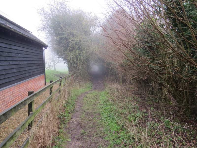
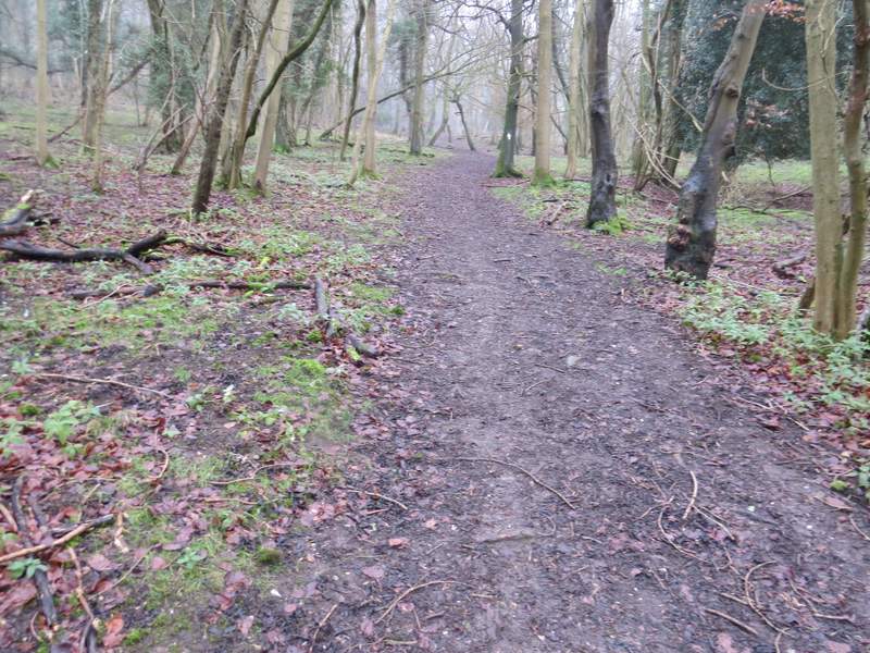
Near the start of the path from Ibstone to Twigside Bottom
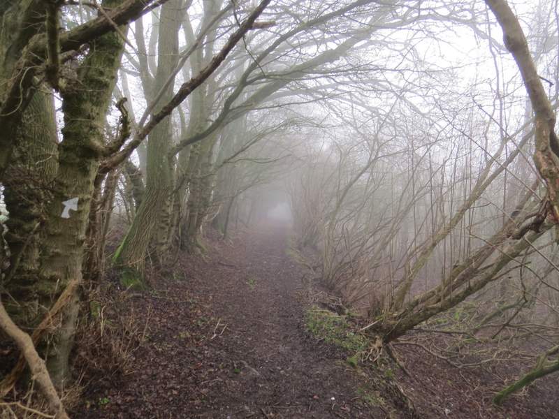
The path from Ibstone to Twigside Bottom
The path from Ibstone to Twigside Bottom
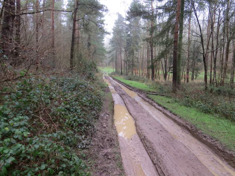
The very muddy track in Twigside Bottom
The path going up the other side of Twigside Bottom
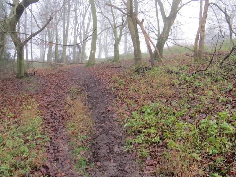
The same path just before it leaves the wood
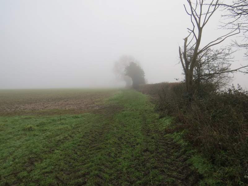
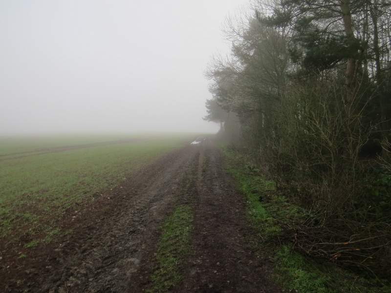
The path continuing towards Chequers Lane
The path continuing towards Chequers Lane
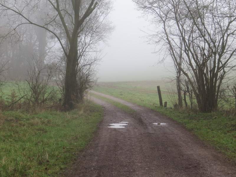
The path ended when it met Chequers Lane, where I turned left and soon came to a junction with a minor road. I went a few yards right, then crossed over and went down Bigmore Lane, which almost immediately crossed over the M40. I followed the lane for almost half a mile, then took a footpath on the right (by the start of a drive to Bigmore Farm) which went diagonally across a paddock or pasture (I've seen sheep here sometimes) to the far right corner. Here I went over two stiles in quick succession, then turned left along a farm track. After a while this curved left by a copse, then curved right (there was no sign of the second copse shown on the OS map). When the track reached Pound Wood, the footpath forked slightly right to enter the wood and as I followed the path through the wood I spotted a Muntjac.
Bigmore Lane
The path going right from Bigmore Lane
The same path continuing along a farm track
The same path, now in Pound Wood
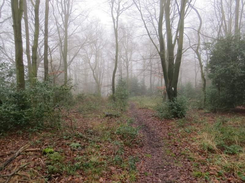
After a while the path turned left and I soon came to a fork where I kept left (the other fork would have taken me towards Cadmore End). After a few hundred yards the path ended when it met a forestry track, where I turned left. This soon left Pound Wood, but within a few yards entered Leygrove's Wood. I had to follow the track a bit further through this wood than I remembered, but after a quarter of a mile or so I saw white markings on a tree to the right of the track, indicating a path crossroads, where I turned right
The path after the left fork
The forestry track, approaching the gap between Pound Wood and Leygrove's Wood
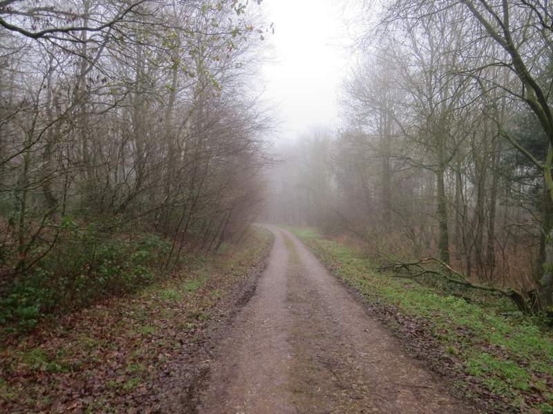
The forestry track in Leygrove's Wood