Pete's Walks- Cowleaze Wood, Chinnor, Ibstone (page 3 of 7)
If you are considering walking this route yourself, please see my disclaimer. You may also like to see these notes about the maps and GPX files.
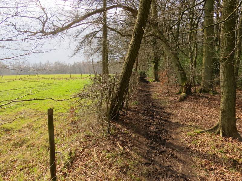
I turned right, and followed the lane (which I'd walked along several times before before) to its junction with the road from Chinnor to Bledlow Church which I'd crossed a little earlier. I turned left, towards Bledlow Ridge, and carefully followed the road for about quarter of a mile before taking a bridleway on the right (which I'd not walked before). This ran through a narrow bit of wood, with paddocks on my left. Further on it entered Sunley Wood and descended very steeply into a valley. I went straight on at a bridleway junction in the valley bottom, climbing the opposite slope of the valley with a green field over a fence on my right and Venus Wood on my left.
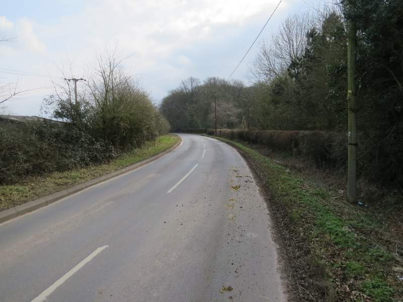
The minor road near Chinnor Hill (the one to Bledlow Ridge)
A rare bit of sunlight! Near the start of the bridleway going southwest from the road
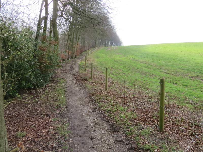
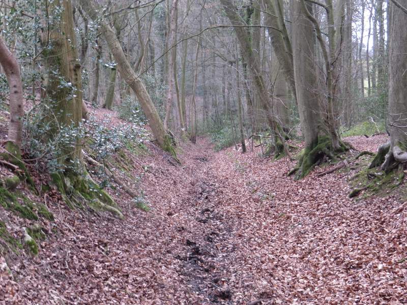
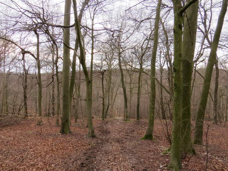
The bridleway going southwest from the road, in Sunley Wood
The bridleway now descending steeply in Sunley Wood
The bridleway continuing up the opposite slope
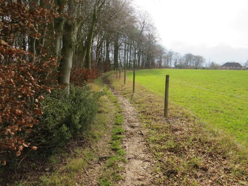
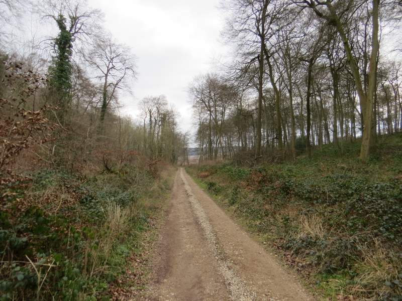
The bridleway now approaching Sprig's Alley
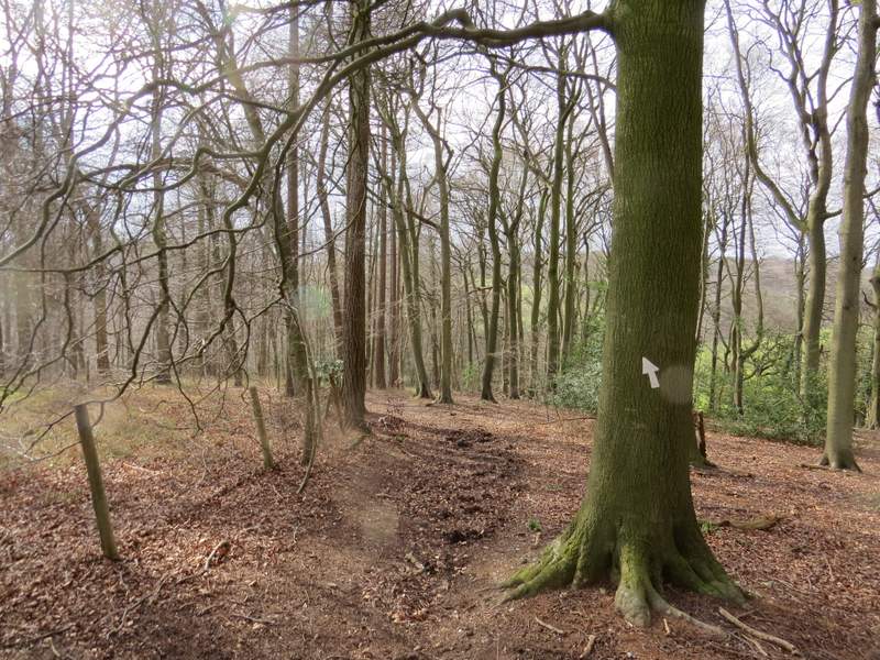
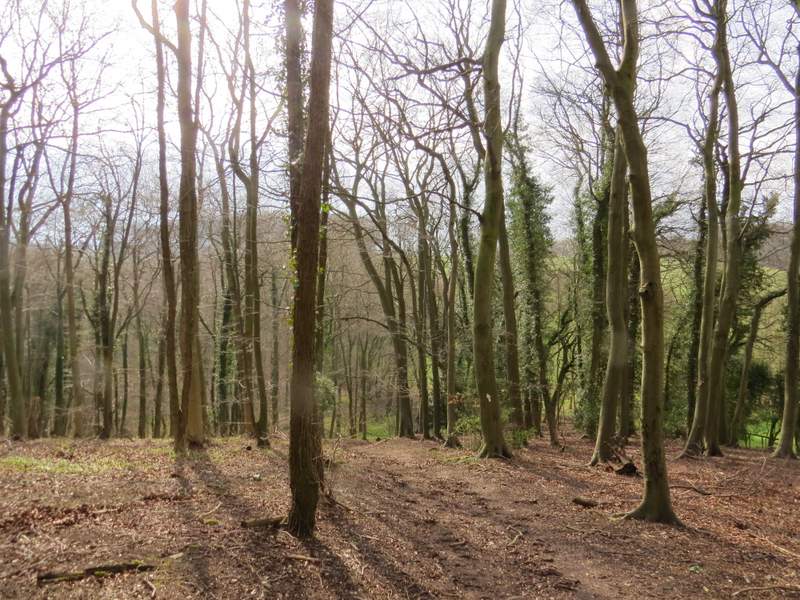
The bridleway ended when it reached a lane in Sprig's Alley, where I turned right. After almost quarter of a mile I turned left along a bridleway that started near Crowellhill Farm. This was very muddy as it descended a wooded hillside, probably the muddiest bit of the whole walk. I'd used this bridleway a couple of times before, but when I forked right at a bridleway junction at the foot of the slope I was again entering what was new territory for me. The bridleway continued through Crowell Wood, with an edge of the wood close by on my right. After a third of a mile or so, I had High Wood to my right, and the bridleway dropped pretty steeply into another wooded valley.
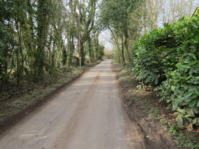
The lane in Sprig's Alley
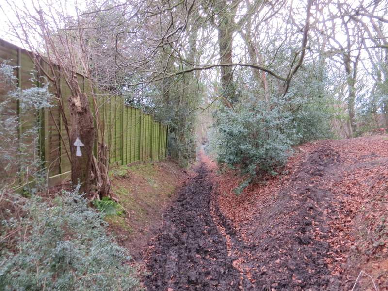
Near the start of the (very muddy) bridleway going south from Crowellhill Farm
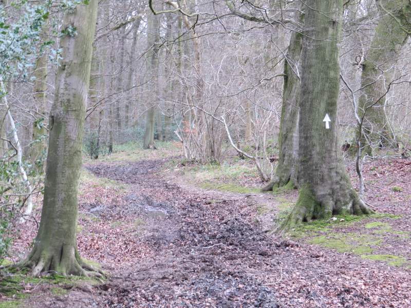
The same bridleway, approaching the fork where I went right (more or les straight on)
The bridleway after I forked right
The bridleway after I forked right
The bridleway continuing through Crowell Wood
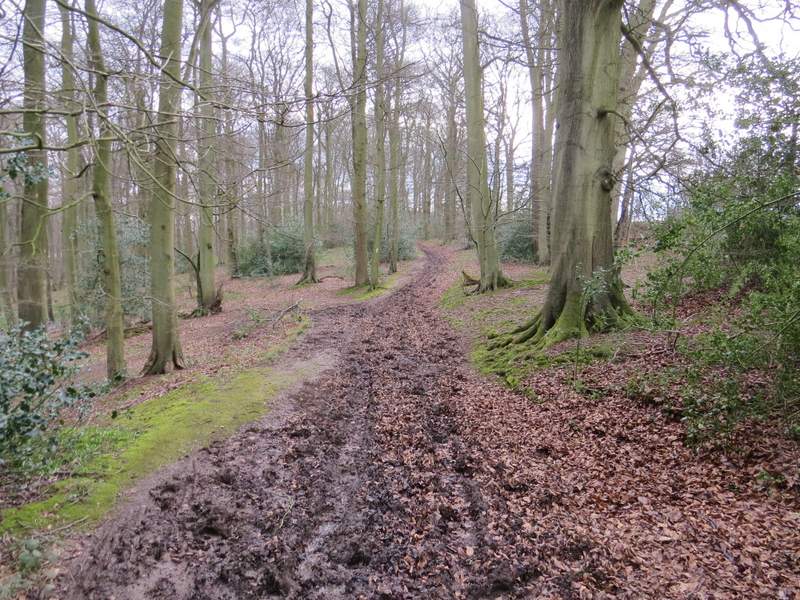
The bridleway now descending steeply through Crowell Wood
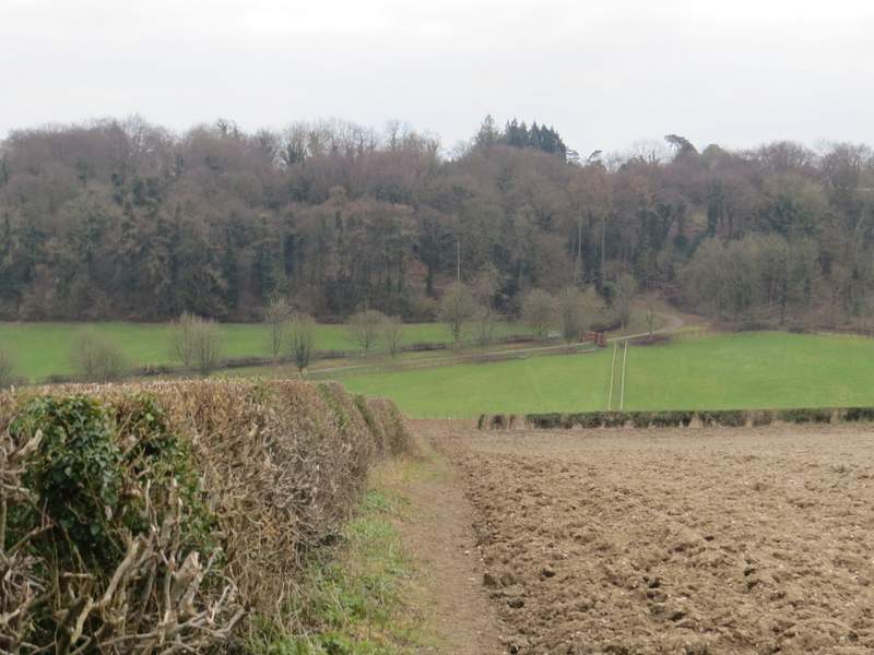
I turned left along a track in the bottom of the valley but only for two or three hundred yards. Just before Lott Wood on my right came to an end, I turned right and followed a path that rose gently uphill just inside the edge of the wood. Beyond the wood, the path continued beside a hedgerow on my left - looking over the hedge, I had a fine view along a valley towards Radnage and Bledlow Ridge. The path then crossed a ploughed field as it dropped downhill, then ran between wooden fences between paddocks to reach the drive from Hallbottom Farm.
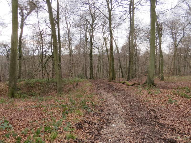
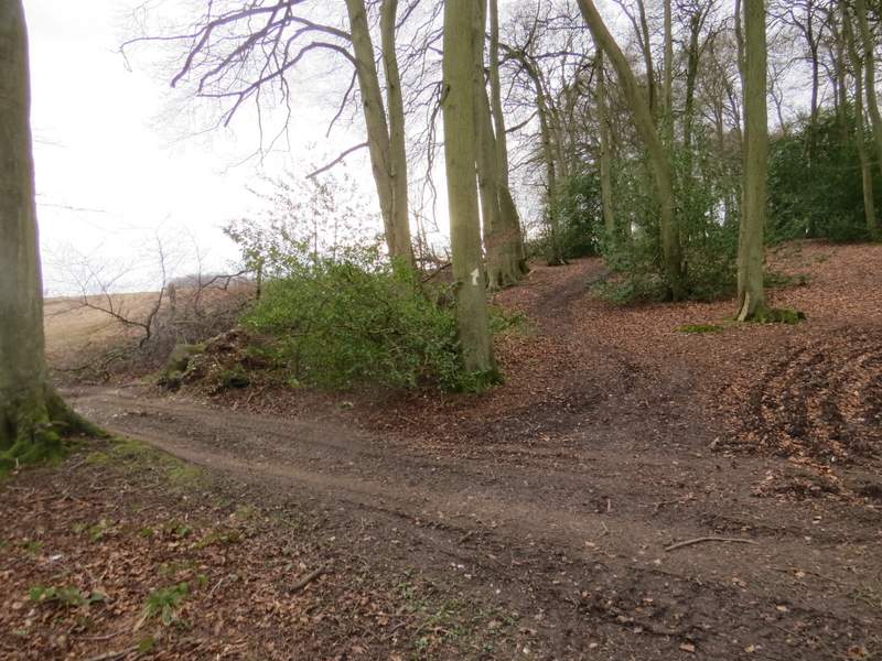
Between Crowell Wood (left) and Lott Wood (right), after I turned left when I had reached a bridleway T-junction
The start of the path through Lott Wood (after turning right from the bridleway)
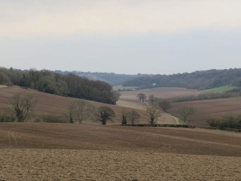
View left from the path after it left Lott Wood - the track in the valley is Collier's Lane, heading towards Radnage and Bledlow Ridge (the wooded slope that appears to be at the end of the valley)
The path continuing from Lott Wood - it continues across a ploughed field and then between the railings between paddocks to reach the drive from Hallbottom Farm