Pete's Walks- Stoke Row, Woodhouse Farm, Checkendon (page 3 of 6)
If you are considering walking this route yourself, please see my disclaimer. You may also like to see these notes about the maps and GPX files.
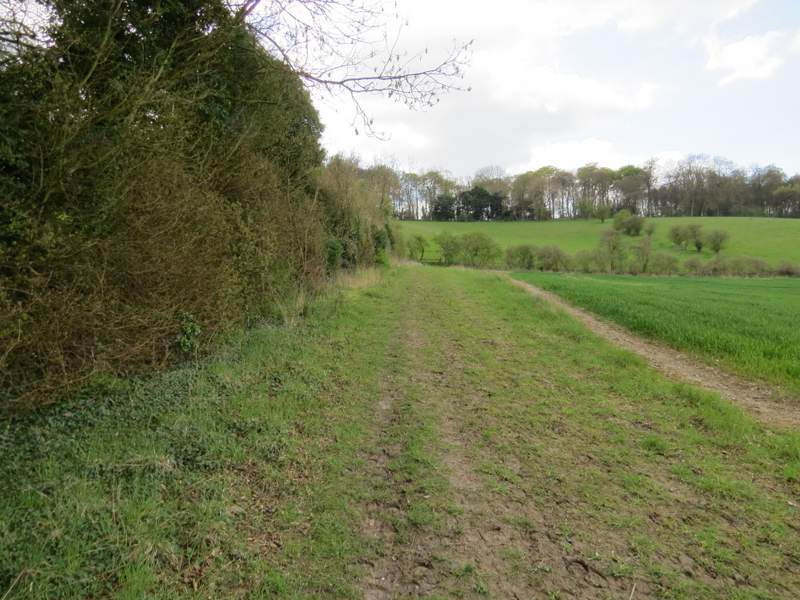
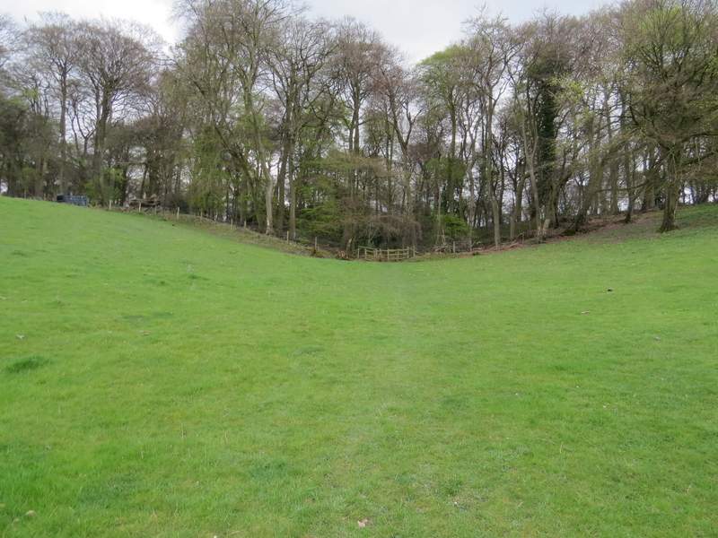
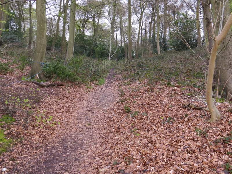
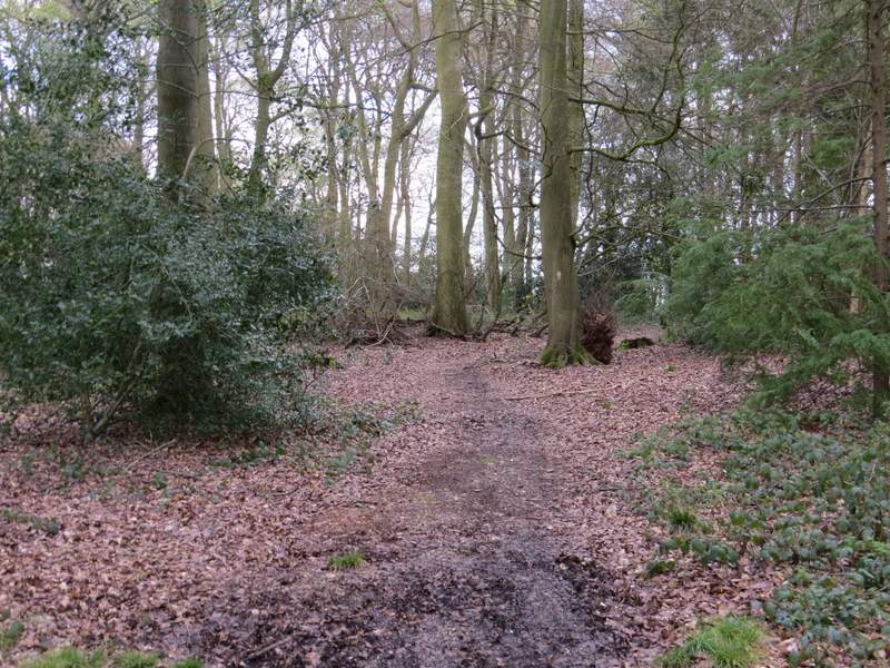
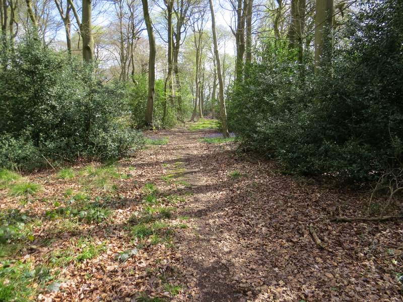
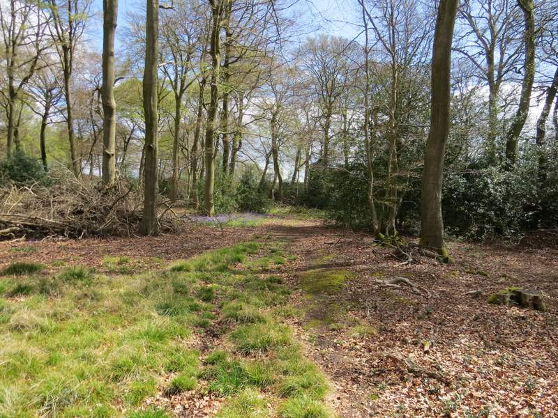
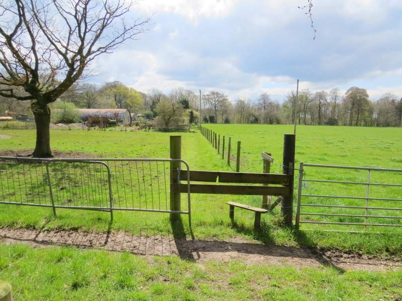
I then crossed a lane and went a few yards down a track before going through a gap on the right and continuing along the hedgerow that was now on my left. In the field corner I went through a wooden kissing-gate, and followed the path as it went half-left and uphill across the next field to reach a wood. The path continued uphill for a while before levelling out - at an apparent fork I had to keep left, guided by a white arrow a short way down that path. When I came to a path junction I decided to go left as I'd not been that way before (the path going right was part of the Chiltern Way, which I'd been following on and off since Woodhouse Farm). The path continued through the wood, which was mainly beech and holly, then followed a fence through a small enclosure. Over a very dodgy stile, the path then ran between the edge of a farmyard and the fence to reach Garson's Lane.
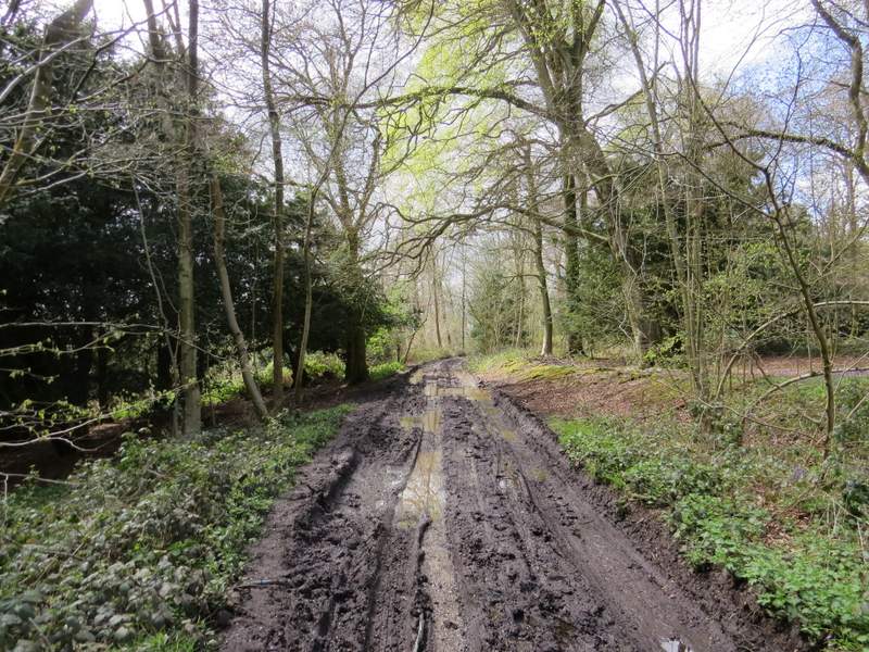
The path to Garsons Lane
The path to Garsons Lane
The path to Garsons Lane
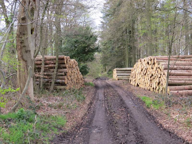
The path to Garsons Lane (this is just after the 'left fork')
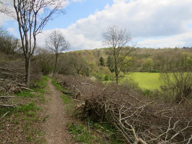
The path to Garsons Lane, after I turned left at a path junction
The path to Garsons Lane
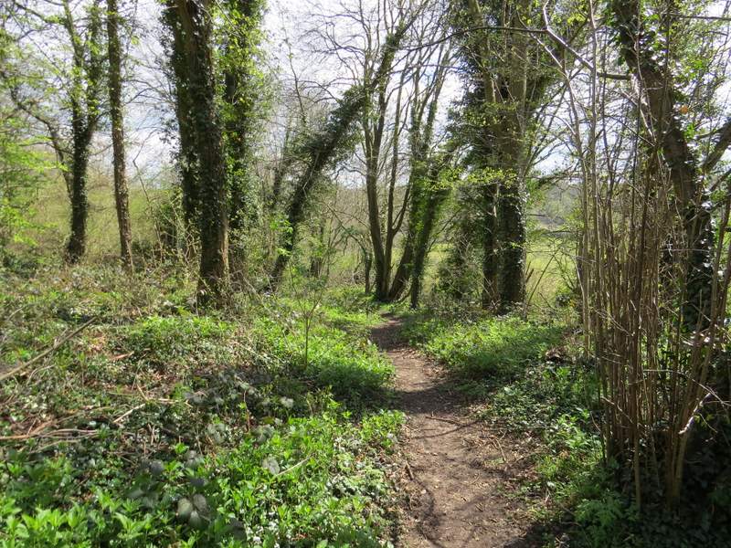
The path to Garsons Lane (which runs along the far side of the field on the right, by the trees)
I turned right along the lane for about a quarter of a mile, then turned left along a byway called Braziers Lane that ran through a wood. This was pretty muddy in places, as with so many other paths I took today. After another quarter of a mile or so, I took a path going left that dropped slightly downhill, close to the edge of the wood on my right. After a short distance I came to another path junction, where the path going right went down some steps to a gate on the edge of the wood. I went down it as far as the gate, just to take a photo looking over Bottom Farm in the valley beyond, then returned up the steps to the path junction and continued along the path I'd been on before.
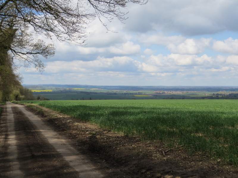
Looking out to the Oxfordshire Plain from Garsons Lane, just before I turned left down Braziers Lane
The start of the byway called Braziers Lane
Braziers Lane
The start of the path after I turned left from Braziers Lane
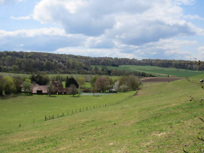
View over Bottom Farm, Ipsden
Further along the path