Pete's Walks- Cholesbury, Great Hivings, Chartridge End (page 1 of 4)
If you are considering walking this route yourself, please see my disclaimer. You may also like to see these notes about the maps and GPX files.
Google map of the walkDownload GPX file of the walk
I did this circular walk of about 8.7 miles on Sunday, May 15th, 2016. It was basically a repeat of a walk I did on the corresponding weekend last year (2015), but in the opposite direction - the only slight change was that I parked by the cricket ground in Cholesbury, about a quarter of a mile along the road from where I parked on the edge of Hawridge last time (I only did this because there was room to park there, and I could see cars parked ahead where I parked last time so I wasn't sure if there'd be a space there).
I had an appallingly slow drive to get to Cholesbury - there was a cycle race on, and I seemed to join their route when I reached Dagnall. I followed the cyclists to Ringshall and through Ashridge, and then when they turned right to Tom's Hill and Aldbury, and then when they turned left along the narrow lane to the A41, and then on across the A41 to Wigginton and then when they went left in Wigginton, and when they turned right towards Cholesbury - and when they finally turned off my route about a mile before Cholesbury, I was immediately stuck behind a tractor and trailer that had been holding the cyclists up for the previous half-mile or so!
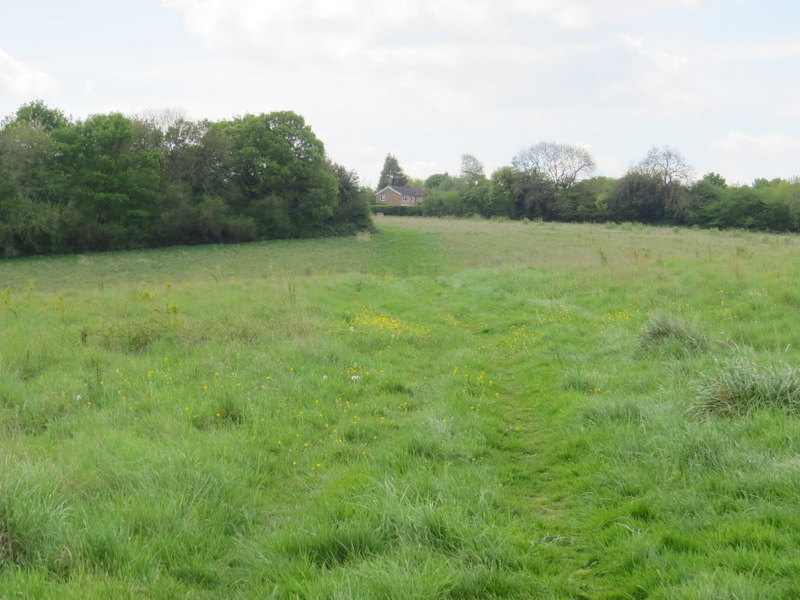
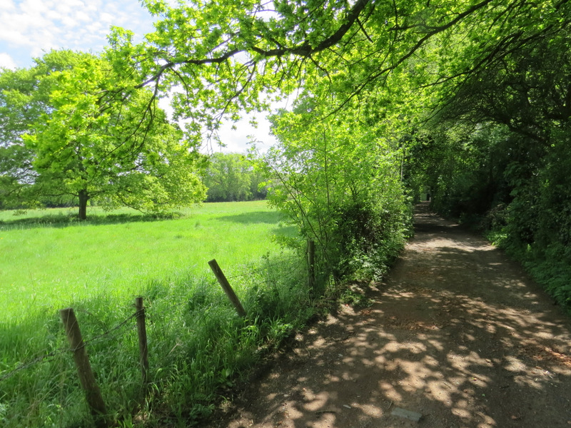
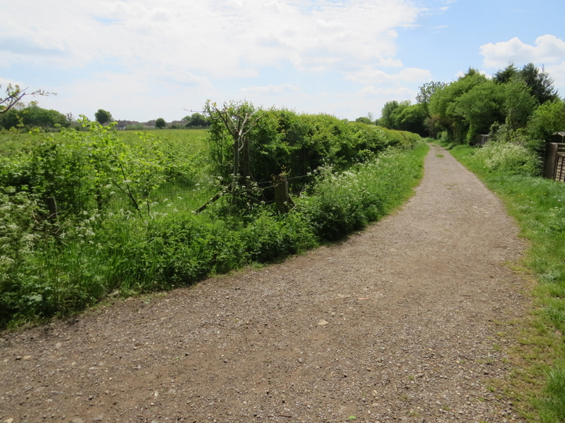
I finally started walking about 11:05am, walking along the edge of the common beside the road on my right. I kept going until a few yards before a lane came in from the left, where I crossed the road and took a footpath on the other side of the road that headed south between fences and hedges. It dropped downhill into a valley, where it crossed another footpath (the long one that runs through White Hawridge Bottom) and continued up the other side of the valley through a wood. Beyond the wood, it followed a hedge on my right for a hundred yards or so to reach a path junction in a field corner. Here I went slightly right, following a path between a hedge on my left and what the OS map describes as 'Works' on my right (it looked like a builders merchants).
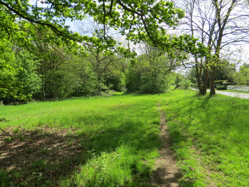
The path beside the road through Hawridge
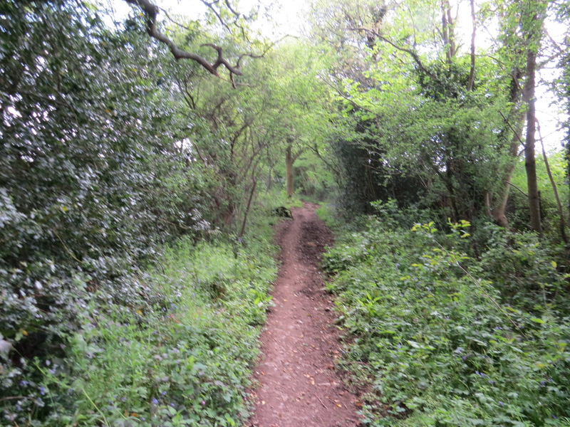
Near the start of the path going south from Hawridge
The path going south from Hawridge
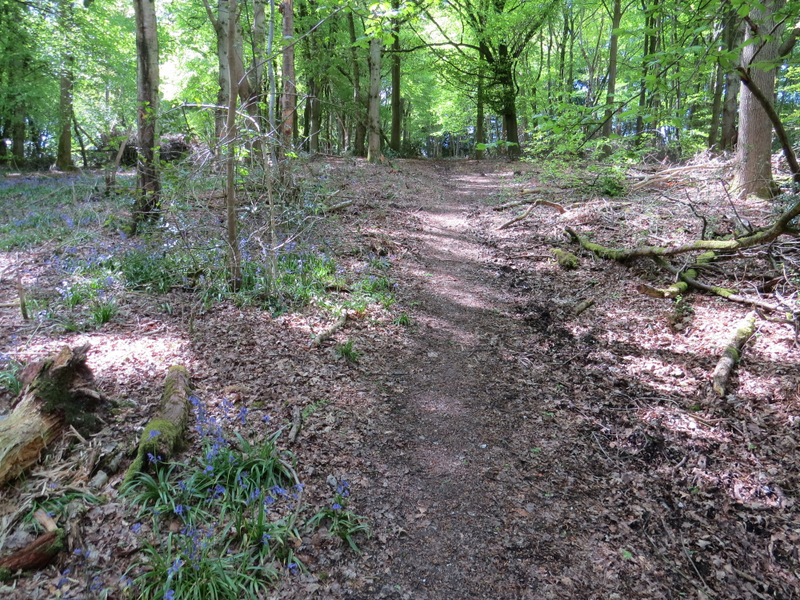
The path going south from Hawridge, starting up through the wood on the other side of the valley
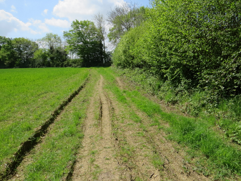
The path going south from Hawridge, just beyond the wood
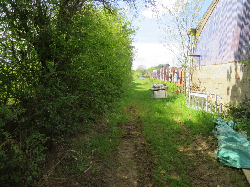
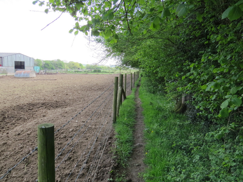
The path continuing beside the 'Works'
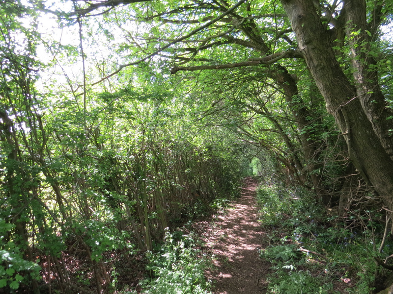
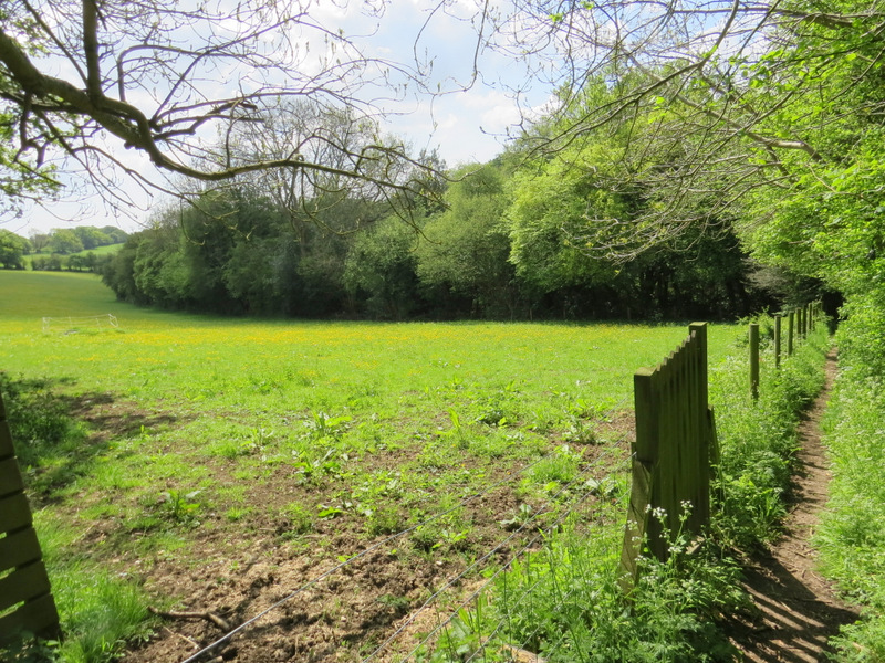
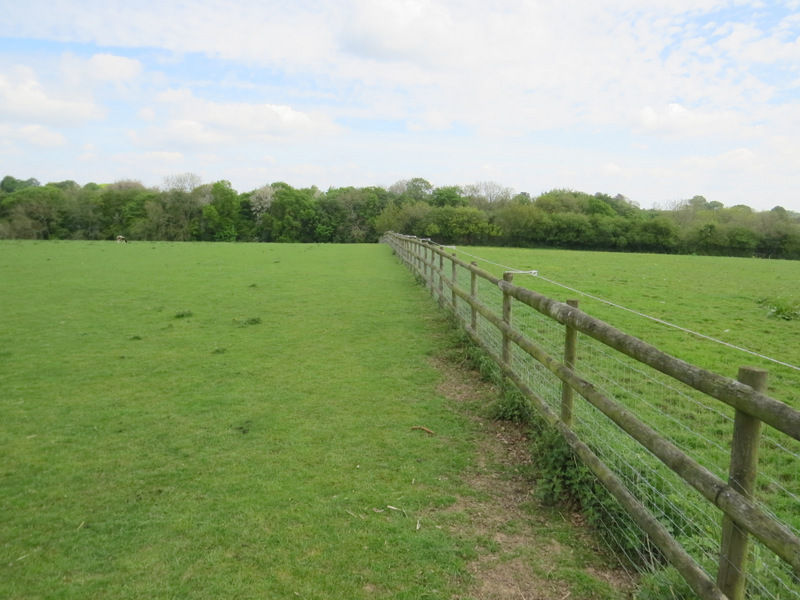
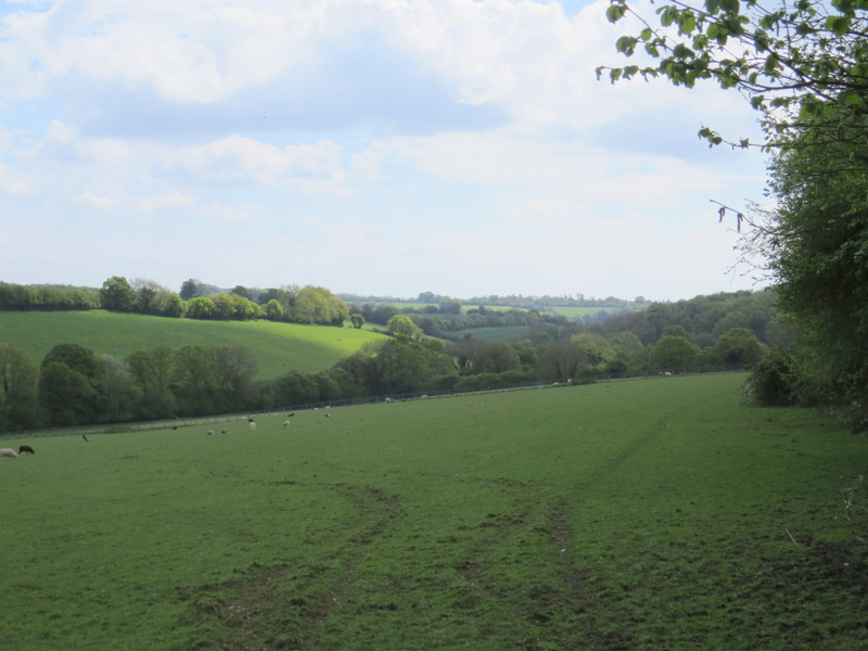
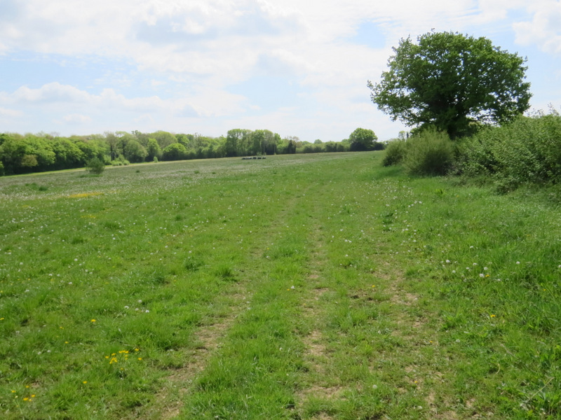
Where a brick building looked as if it would block the path, I turned left along a path following the edge of a field on my left. At the end of the path I turned right along a track past a house on the corner (a Great Dane barked at me as I went past, but it was securely fenced up - barking dogs would be a feature of this walk, I heard at least six of them today!), but just after the house I turned left along a bridleway. This ran between tall hedgerows for about a quarter of a mile to reach a track called Hawridge Lane. Across this a footpath continued, beside some enclosures on my left containing various types of pig (I heard my first Cuckoo of the year along here). The path then continued through a large pasture containing a variety of animals (sheep, alpacas, a small cow - I didn't notice any this time, but there were goats here too last time). In the field corner I turned left alongside the fence, and when this ended I turned right, now with a hedge on my right. I soon entered another pasture, sloping down to my left, which contained only sheep - there was a pleasant view along the valley here. On reaching the corner of this field, I went half-right across a very large and irregularly shaped meadow to reach the edge of Bellingdon.
The path going southeast after I turned left from the 'Works'
The bridleway to Hawridge Lane
The bridleway to Hawridge Lane
The path continuing past the pig enclosure
The footpath after I turned left in the field with the variety of animals in it
The same path, after it turned right
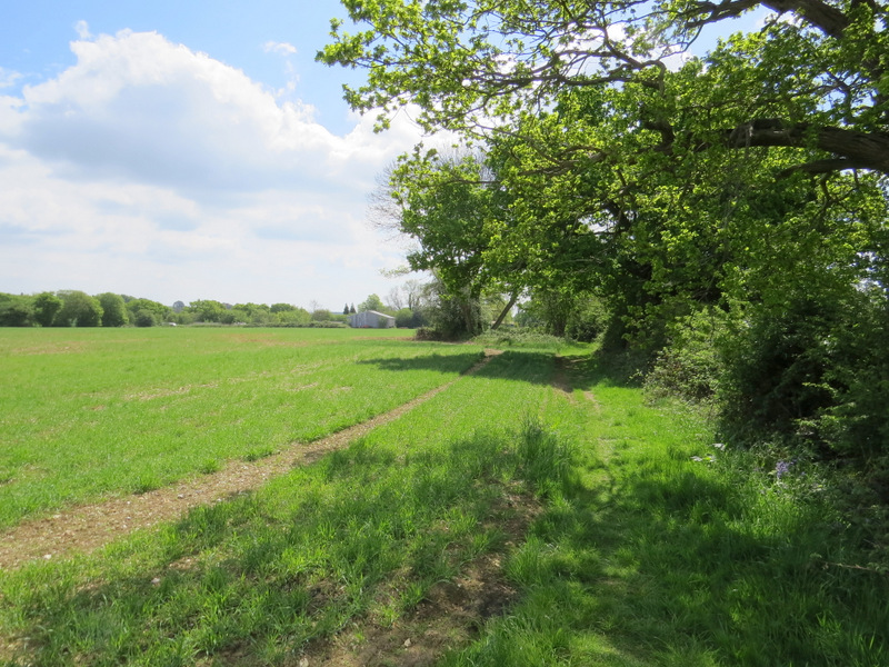
The path continuing to Bellingdon
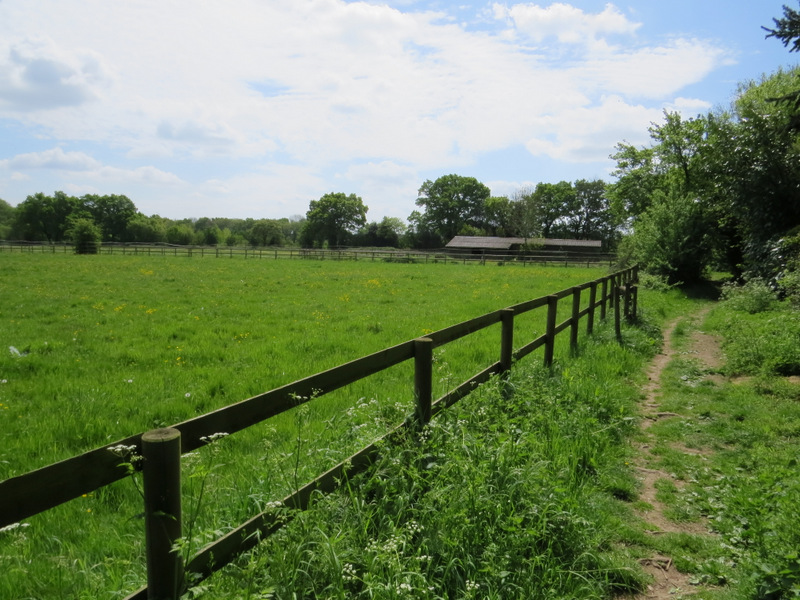
I turned half-left along a drive - when it turned left, I continued straight on along a narrow footpath with a wall on my left. This soon emerged into another large meadow where I continued straight on, following a hedge on my right and with Ramscoat Wood on the other side of the meadow. At the end of the meadow I carried on along a track, with garden fences on my right and various small enclosures to my left - after about a third of a mile this brought me to a road on the edge of Great Hivings (part of Chesham).
The drive I followed at Bellingdon
The path through the large meadow near Ramscoat Wood
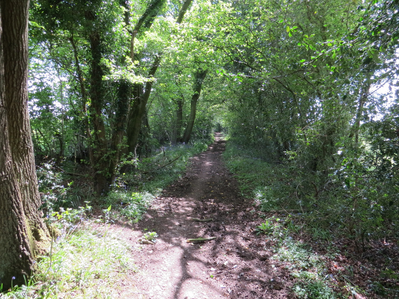
The path continuing towards Great Hivings
The path continuing towards Great Hivings