Pete's Walks- Alternative Ashridge walk (page 2 of 6)
If you are considering walking this route yourself, please see my disclaimer. You may also like to see these notes about the maps and GPX files.
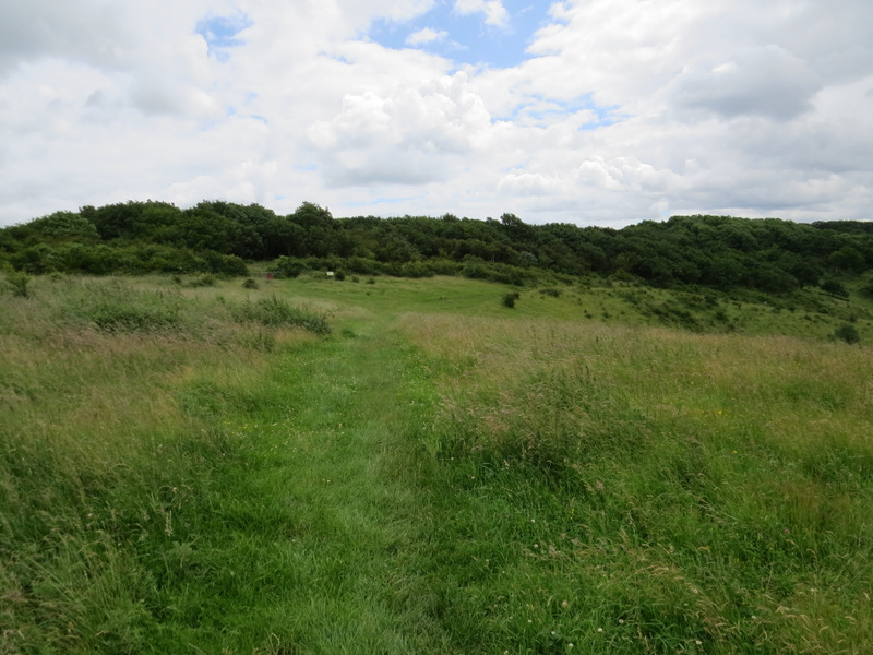
I walked most of the way through the car park, keeping to the right and eventually turning right through some bushes to reach a path by a fence where I turned left, now getting my first clear view towards Ivinghoe Beacon. I followed the path, with the fence to my right, as it headed slightly downhill and gradually curved slightly right. Where the bushes on the left came to an end, I turned left on a path that took me close to a hairpin bend in the road (I'd be back here in a little while) and the start of a path up the first and much larger of the two 'hillocks' here. There were numerous orchids and other wild flowers amongst the grass here, though the Fragrant Orchids were a little past their best. At the top of the hillock (where there was a tumulus or ancient burial mound) I turned right and followed a path that led back to the main chalky path to the Beacon. I went over the tiny second 'hillock' and then came the steep but fairly short climb to the top of Ivinghoe Beacon. It's usually windy here and today was no exception, which made it feel quite chilly (for July, this was a relatively cool day) so I just took a couple of photos and turned round, going back down the Beacon and following paths that kept left of the hillocks but brought me back to the hairpin bend in the road.
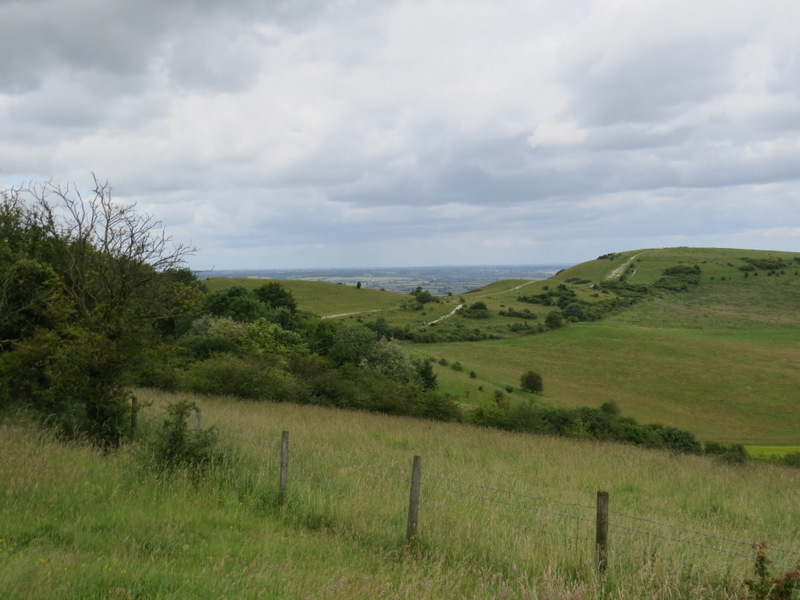
Looking towards Ivinghoe Beacon from next to the car park
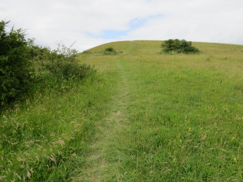
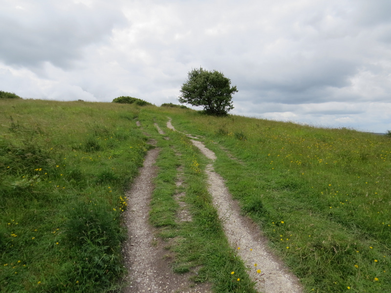
The path up the first 'hillock', next to the road
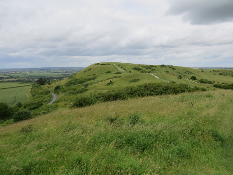
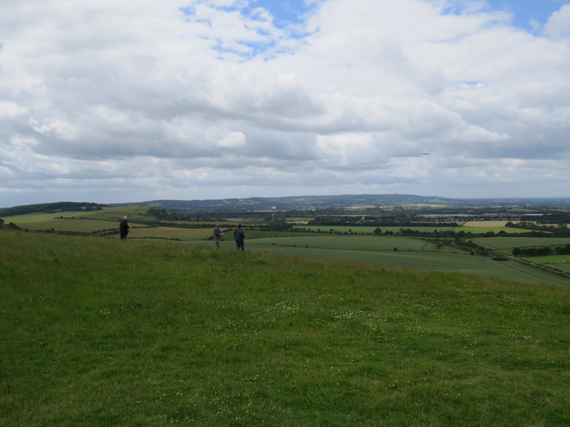
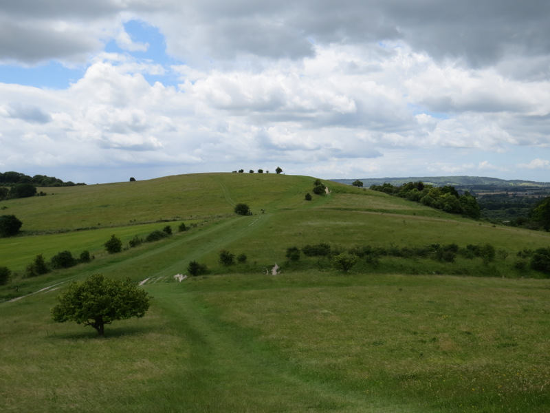
Looking from the top of the hillock to Ivinghoe Beacon
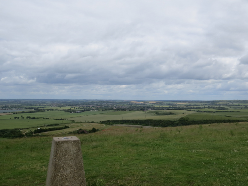
Looking northeast from Ivinghoe Beacon
Looking west from Ivinghoe Beacon
I carefully crossed the road and took a path on the other side. After a few yards I turned right behind a bush, following the route of the Ridgeway national trail as it climbed part of the scrub-covered slopes of Steps Hill before levelling out and then descending slightly to a gate. Beyond the gate the Ridgeway turned left, but I preferred to go straight on, along a path through more of the scrub. After a while it turned slightly left and soon reached the more grassy top of Steps Hill. The path then merged with the one the Ridgeway followed, and soon passed the end of the steep-sided valley of Incombe Hole on my right.
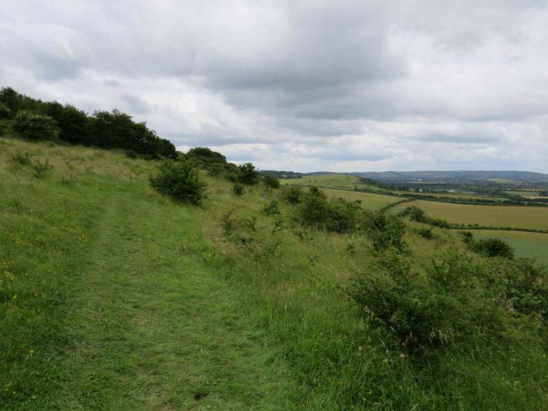
Near the start of the path on Steps Hill
The path on Steps Hill, looking towards Pitstone Hill (just left of centre)
Further along the path on Steps Hill, again looking towards Pitstone Hill
Approaching the top of Steps Hill
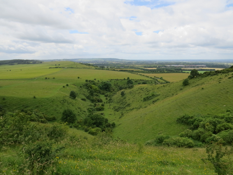
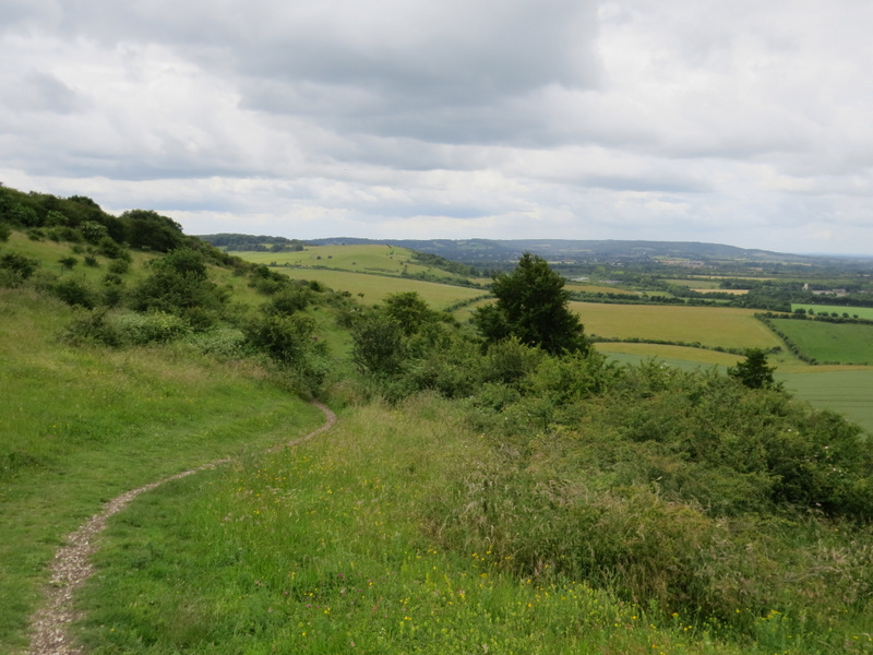
Incombe Hole (you can see the path continuing to Pitstone Hill on the left)
The Ridgeway then started to drop downhill, soon turning right along the far side of Incombe Hole. After awhile it went straight on at a path crossroads, following a fence on the left for another third of a mile to reach a lane. I crossed the lane and walked through the small car park for Pitstone Hill (I've sometimes used this as an alternative starting point for this walk) and continued straight on up the hillock beyond it. I dropped down the other side of the hillock, and rejoined the Ridgeway as it made its way steadily to the top of Pitstone Hill.
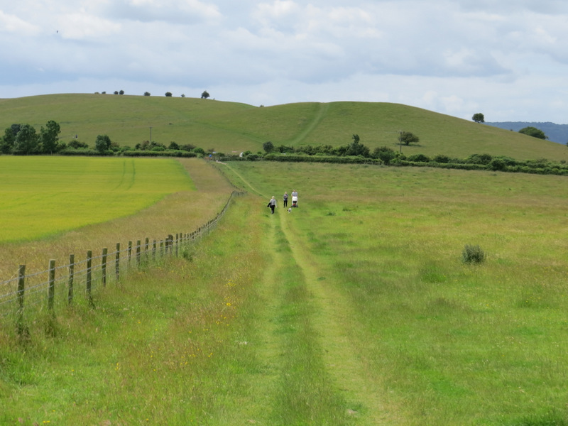
Approaching the car park for Pitstone Hill
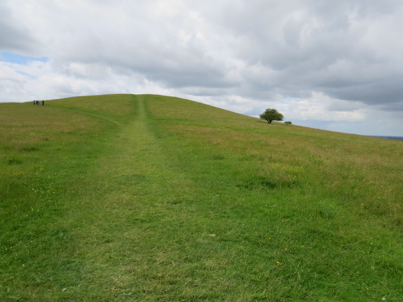
The path up the 'hillock' behind the car park
The path from the top of the hillock to Pitstone Hill (the path goes to the right of the small trees in the centre, where you can see the white chalk)