Pete's Walks- Wigginton and Drayton Wood (page 2 of 3)
If you are considering walking this route yourself, please see my disclaimer. You may also like to see these notes about the maps and GPX files.
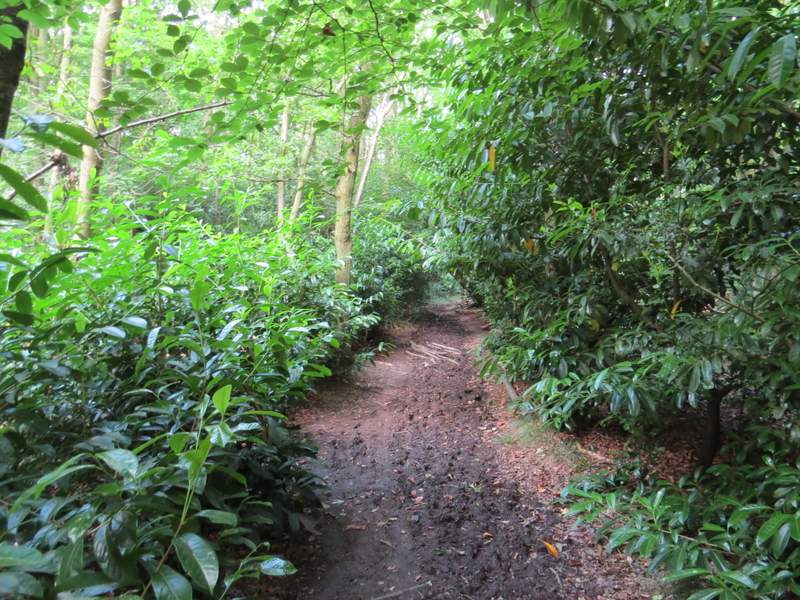
I went straight on at a path crossroads (I could have gone left to reach the impressive earthworks around Cholesbury Camp, an iron-age hill fort). From bitter experience I know that the paths just here don't seem to always match the OS map, but I simply followed the path as it turned right just inside the edge of the wood. I had to follow the edge of the wood for several hundred yards until it ended at a bridleway, where I went left. I now had a field over a hedge on my left, but with more of Drayton Wood to my right.
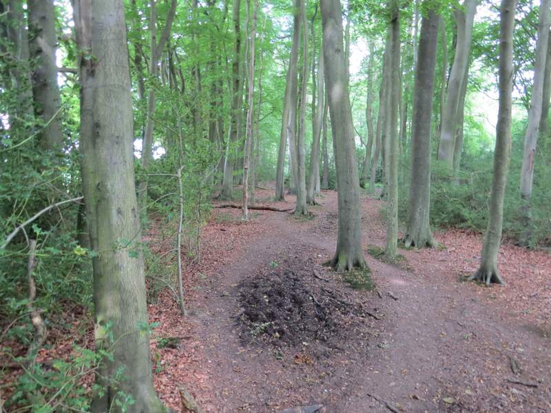
The path along the southwest edge of Drayton Wood
The path along the southwest edge of Drayton Wood
The path along the southwest edge of Drayton Wood
The bridleway going southwest beside Drayton Wood
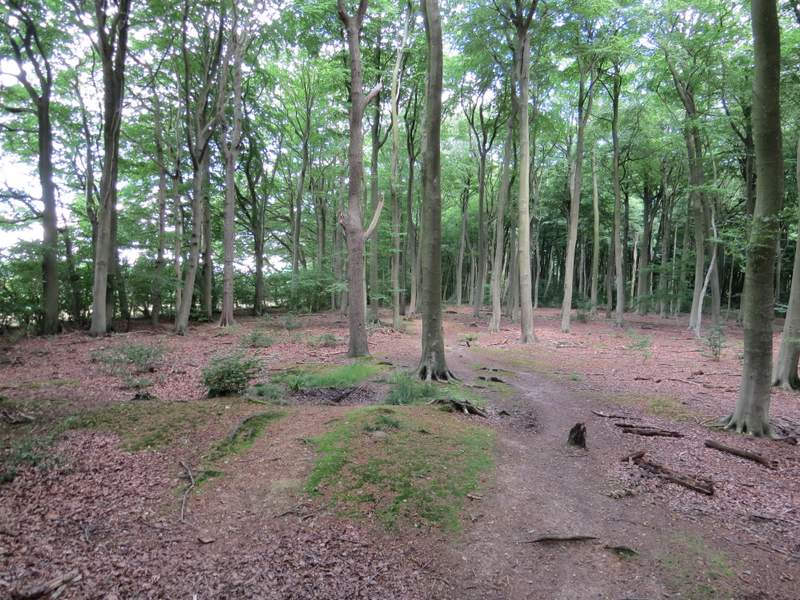
After a fairly short distance I reached fingerpost and a gate or stile, where a path started off into the wood on my right. I followed this path straight on through the wood for a few hundred yards, ignoring a couple of other paths coming in on the left at different points, then carried on between fences with paddocks either side to return to Shire Lane.
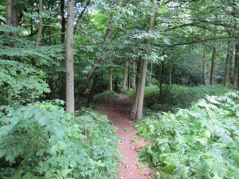
Near the start of the path going northwest through Drayton Wood
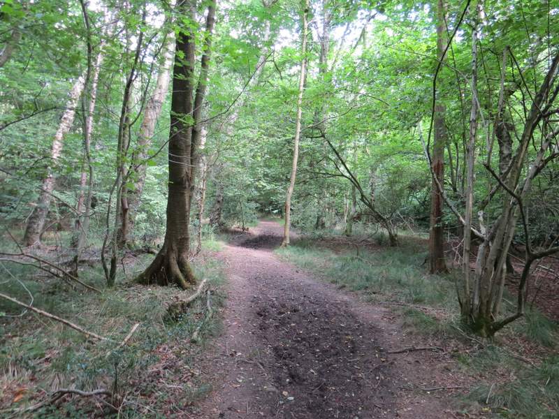
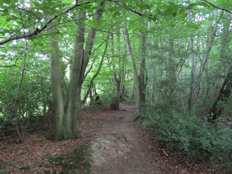
The path continuing northwest through Drayton Wood
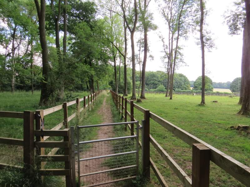
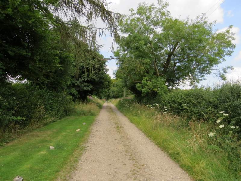
The path continuing from Drayton Wood to Shire Lane
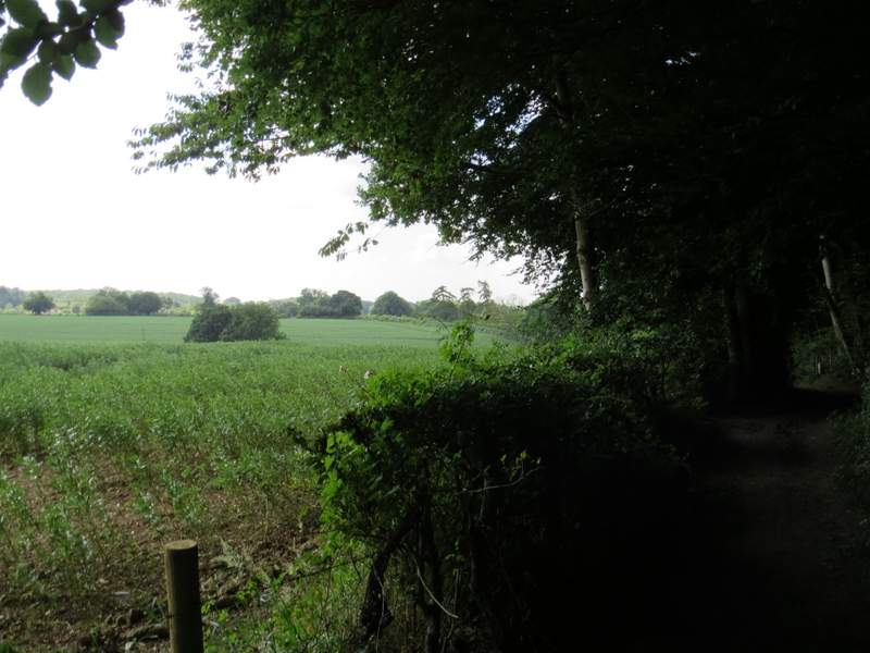
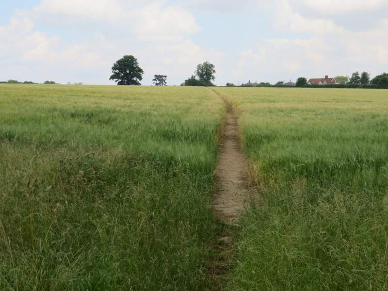
Across the lane a path continued through a small wood, then went across a corner of a corn field. I went past the end of a line of trees (along part of the Grim's Ditch ancient earthwork), then took a path crossing another corn field to reach a track called Browns Lane, where I turned left into the hamlet of Hastoe.
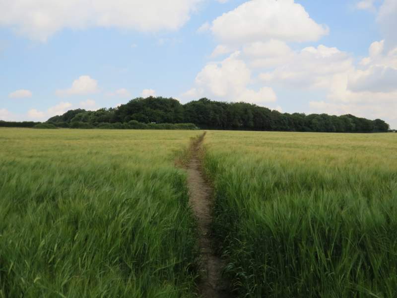
The path the other side of Shire Lane, beyond the small wood (the line of trees are along part of an ancient earthwork called Grim's ditch)
The footpath just after Grim's Ditch, heading towards Hastoe
Brown Lane, Hastoe
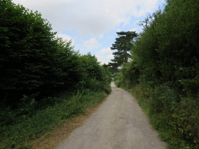
The track ended at a lane junction, where I went a few yards left and then took a track (actually a byway) on the other side. After a few hundred yards, byways forked either side of a cottage - I took the right fork, only to immediately turn right onto a path into Grove Wood and then almost as quickly fork left at another path junction.
The byway going northwest from Hastoe
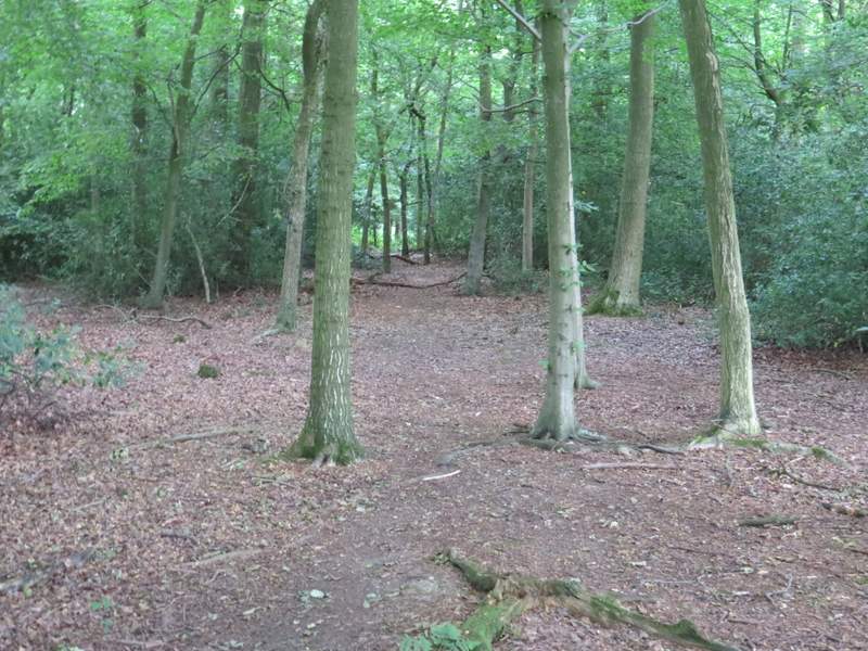
The footpath in Grove Wood, after I forked left
The footpath in Grove Wood