Pete's Walks- Pitstone Hill, Cow Roast, Aldbury (page 1 of 4)
If you are considering walking this route yourself, please see my disclaimer. You may also like to see these notes about the maps and GPX files.
Google map of the walkDownload GPX file of the walk
I did this walk of about 8.9 miles on Sunday, 4th September, 2016. I'd had a few ideas about where to walk today but in the end decided I didn't want to go too far and started out to repeat the Pitstone Hill and Grand Union Canal walk that I've done a couple of times, but doing it the other way round (anti-clockwise). When I was on the path to Tom's Hill, I changed my plans and decided to take a short path I'd not used before. I then took some paths I'd only used twice before that took me to Aldbury. From there I took a short bridleway I'd not used before, then rejoined my planned route which took me close to the Bridgewater Monument at Ashridge and on to Clipper Down, then back to the Pitstone Hill car park.
I started walking about 10.35am, from the Pitstone Hill car park (Grid Reference SP 954148). I went straight up the hillock next to the car park and down the other side, where I joined the Ridgeway national trail as it made its way gently up to the top of Pitstone Hill. I continued along the Ridgeway as it then descended the other side of the hill, bearing left and following part of an ancient earthwork called Grim's Ditch. It then continued through the woods of Aldbury Nowers for over half a mile.
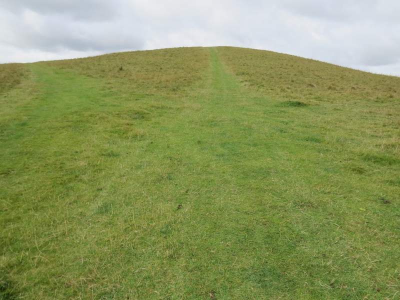
The hillock by the Pitstone Hill car park
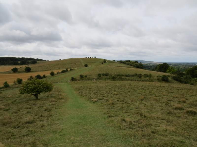
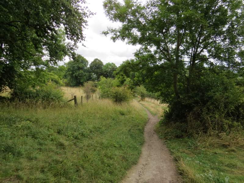
The path from the hillock to Pitstone Hill - you can see it's a grey and gloomy day, and it stayed that way throughout the walk
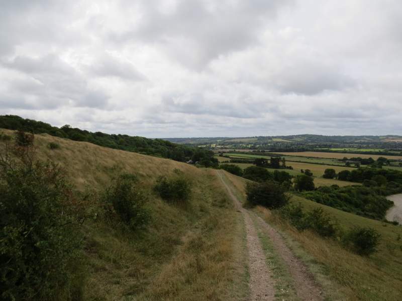
The Ridgeway national trail, descending Pitstone Hill
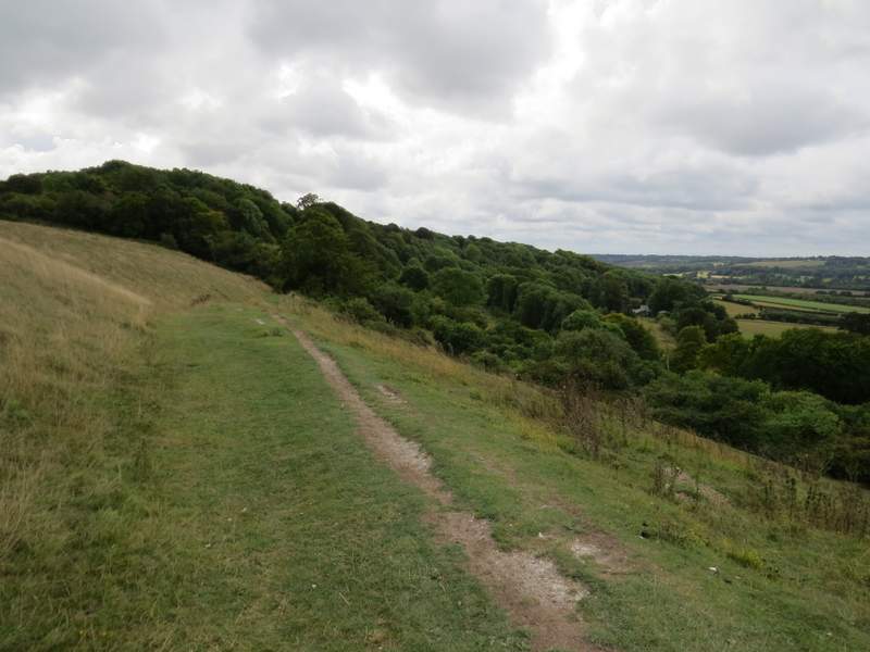
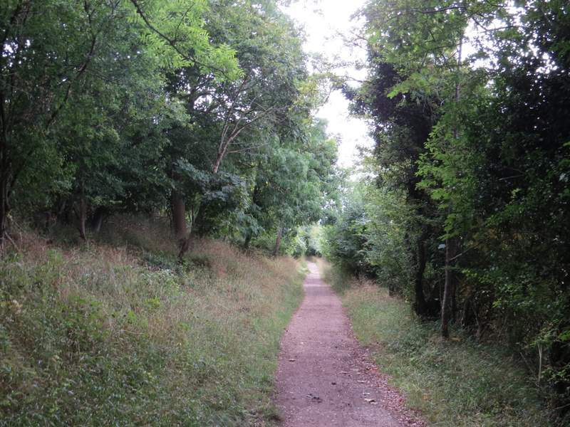
The Ridgeway national trail, approaching Aldbury Nowers
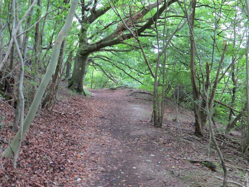
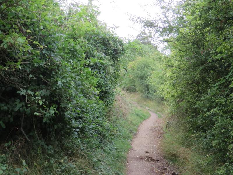
Aldbury Nowers
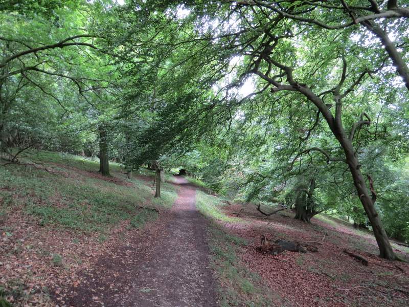
Aldbury Nowers
Aldbury Nowers
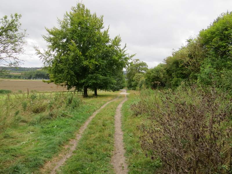
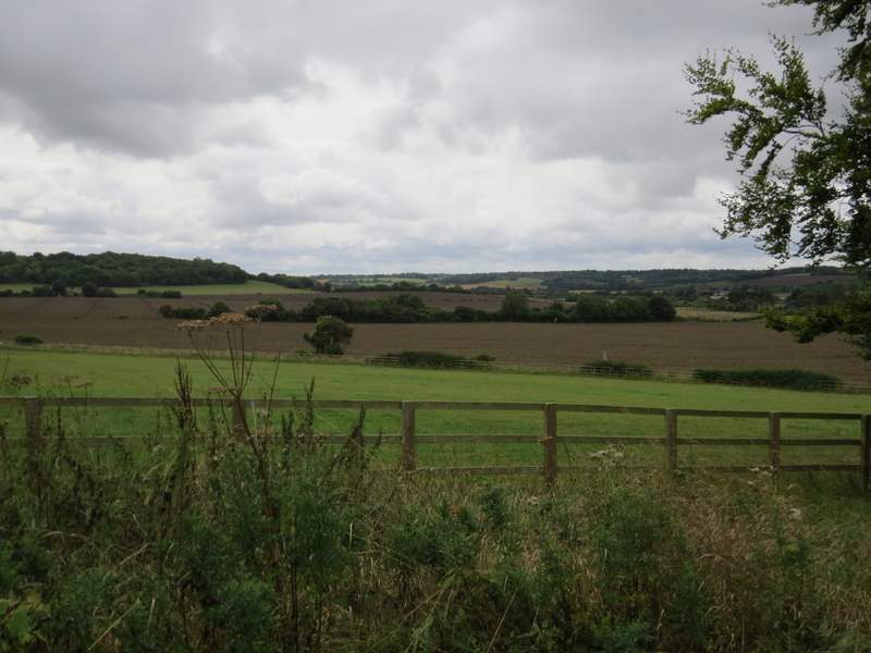
The path continuing beside the Aldbury Nowers nature reserve
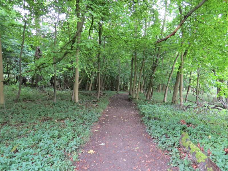
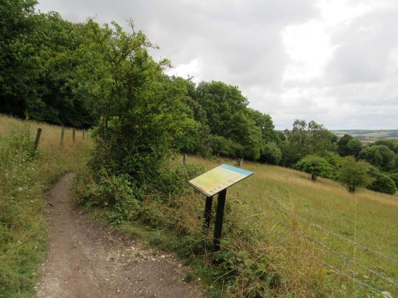
When I eventually reached a path T-junction, I stayed on the Ridgeway as it turned right through part of the Aldbury Nowers nature reserve. It then turned left along a bridleway with hedges either side. After almost another half a mile I came to a bridleway crossroads, where I stayed on the Ridgeway as it turned right, following a short track then a surfaced drive to reach a minor road. I turned right here and followed the road into the village of Tring Station.
After turning right at a path T-junction, the Ridgeway passes through the Aldbury Nowers nature reserve
Further along the Ridgeway
Further along the Ridgeway
After turning right at a bridleway crossroads, the Ridgeway follows this track and then drive to reach a minor road
Looking left from the track
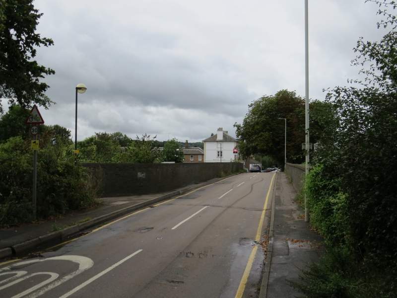
Approaching Tring Station