Pete's Walks- Coombe Hill and Kingsash (page 1 of 5)
If you are considering walking this route yourself, please see my disclaimer. You may also like to see these notes about the maps and GPX files.
I did this walk of about 11.2 miles on Sunday, 18th September, 2016. It was a repeat of a walk I did about two years ago, but in the opposite (clockwise) direction - I had first walked this route in November 2013, but starting at the now closed Cobblers Hill car park (doing it clockwise).
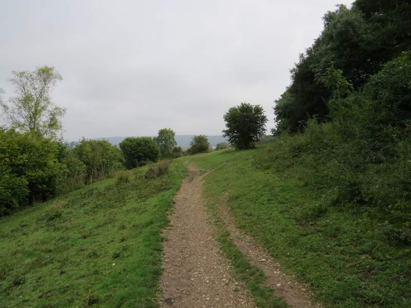
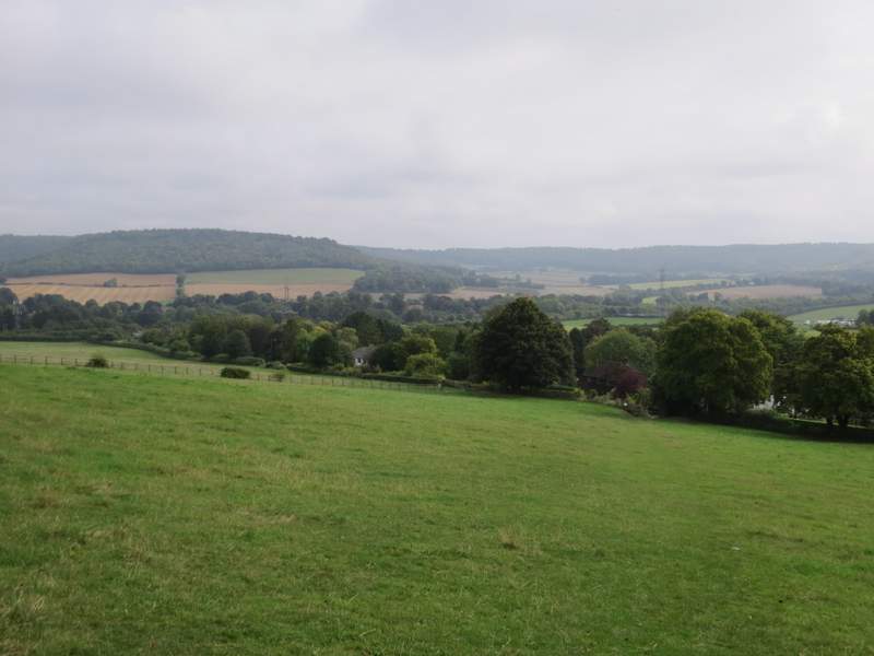
I parked at the Coombe Hill car park (Grid Reference SP 852063) and started walking just before 11am. I went through the gate by the entrance to the car park, and took the middle of three paths, crossing an area of rough grass and bushes to reach a belt of trees. Beyond these trees I went right, along a broad expanse of grass with bushes or trees either side to reach the Monument on Coombe Hill. From here, I turned right to follow part of the Ridgeway National Trail (white acorn symbols). I soon crossed a bridleway in a sunken lane or 'hollow way', going through gates either side of it, and continued on with small trees and bushes either side. I kept right whenever I came to any forks in the path, leaving the Ridgeway at one such fork, and continued on along the top of Bacombe Hill until I reached a small tumulus or ancient burial mound (just a 'ring doughnut' shape in the ground), where the ground started to drop away more steeply in front of me.
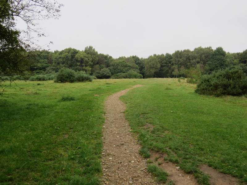
The start of the path from the Coombe Hill car park to the Monument
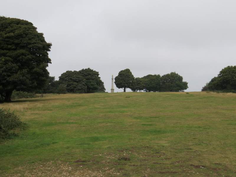
Approaching the Monument on Coombe Hill
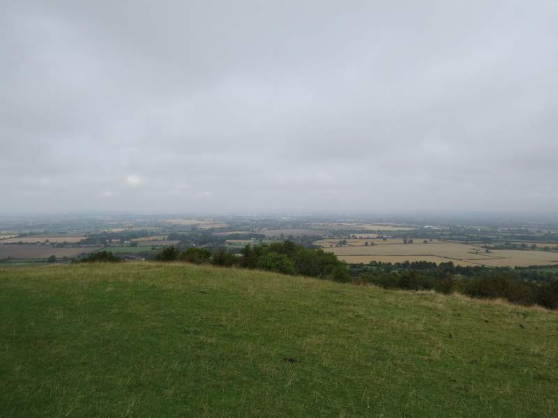
The view from Coombe Hill - not as clear as when I was here a week ago!
The Ridgeway, heading right from the Monument

The Ridgeway continuing towards Bacombe Hill
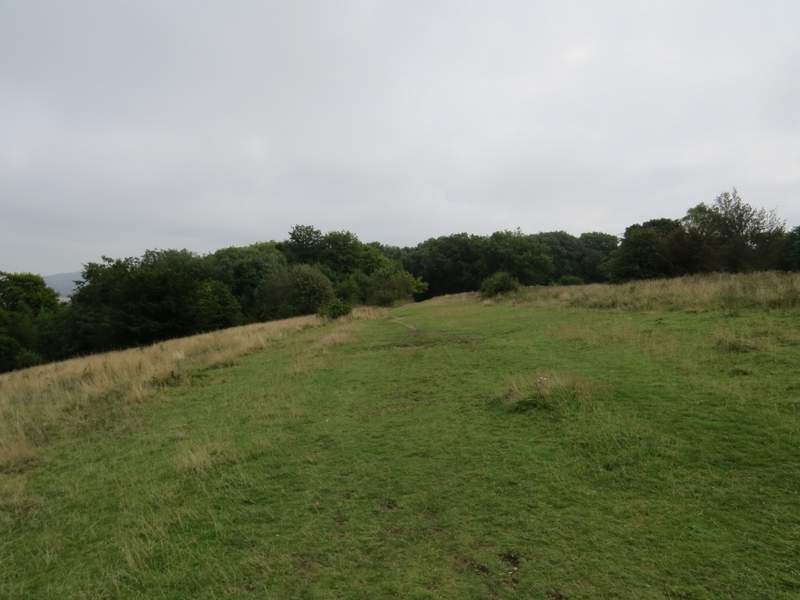
Bacombe Hill
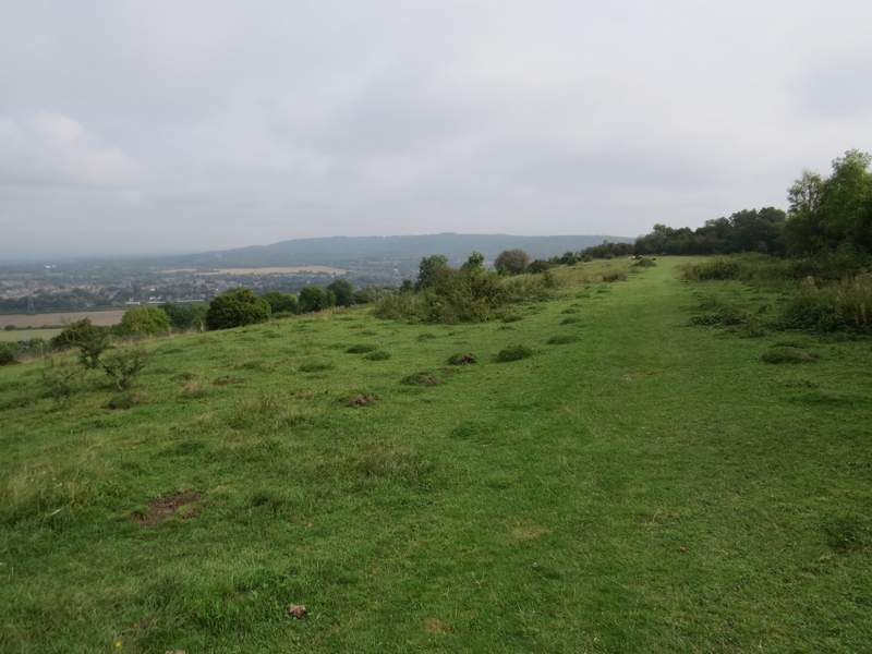
Bacombe Hill
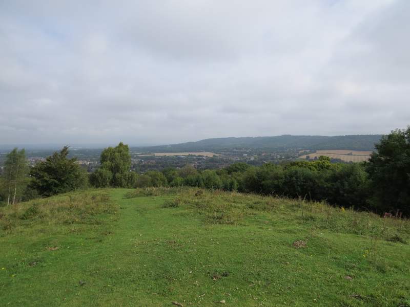
The view from the tumulus on Bacombe Hill, looking towards Wendover and Wendover Woods
After admiring the view ahead of me, over Wendover to Wendover Woods, I turned right from the tumulus on a path that dropped quite steeply downhill through bushes and small trees to reach a bridleway. Here I went straight on over a stile, and went slightly left as I continued downhill through an empty paddock to reach the hamlet of Bacombe. Here I turned left, and followed the lane all the way to its end on a street on the edge of Wendover.
The path going right from the tumulus
The path down to Bacombe
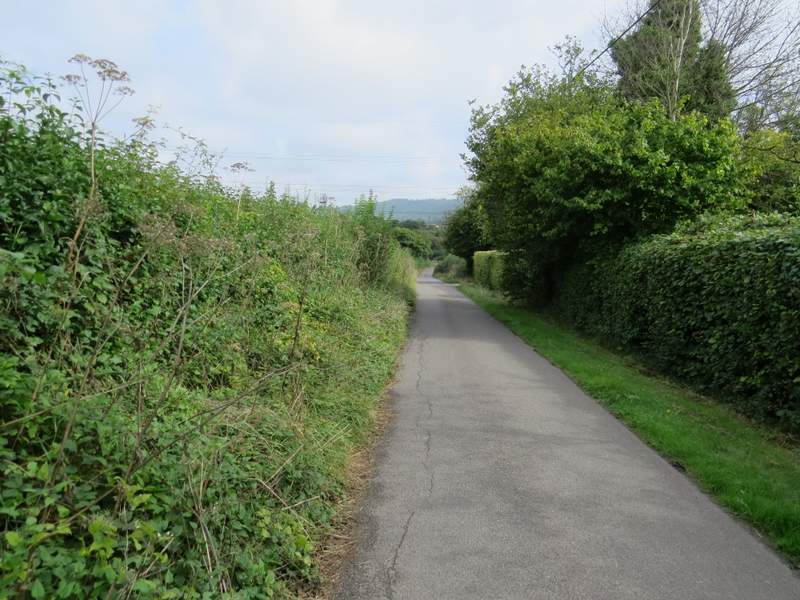
Bacombe Lane
I turned right for a short distance, then turned left down Chapel Lane. I went slightly wrong here - I turned right immediately after a playground on the right, then had to turn left at the next path junction to reach a footbridge over a stream. I meant to go further down Chapel Lane then take a path on the right that followed the stream to the footbridge. Once over the footbridge, a path led on between garden fences to reach a street on the edge of the village. Here I went right for about a hundred yards before turning left into Hale Lane.
Chapel Lane, Wendover
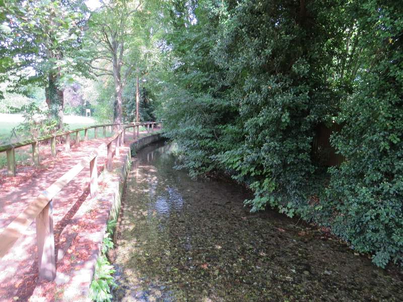
The stream in Wendover, from the footbridge
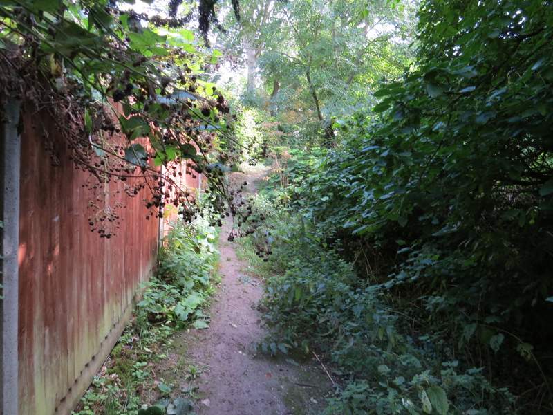
The path continuing from the footbridge
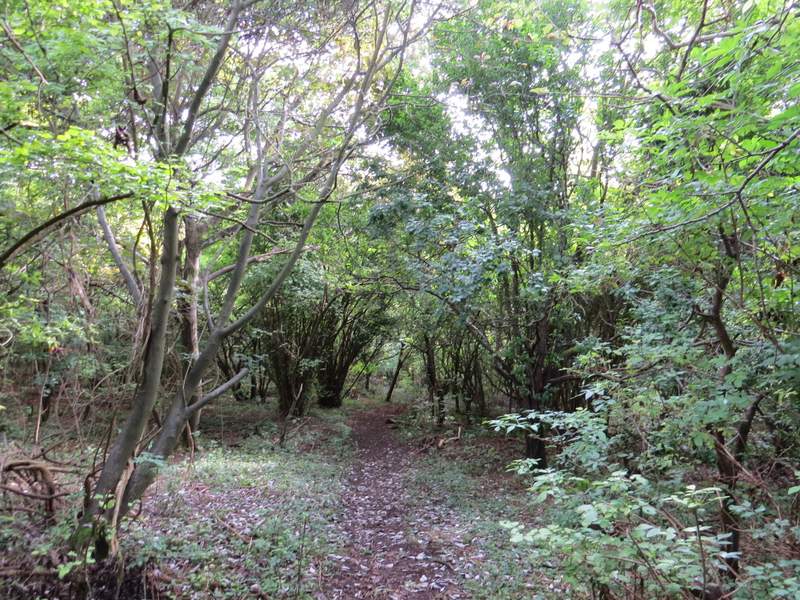
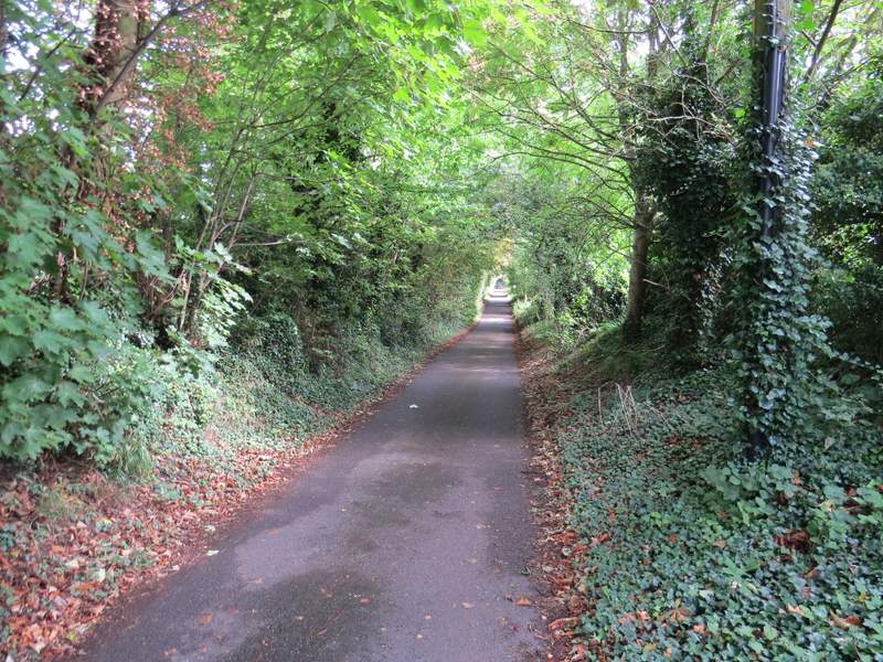
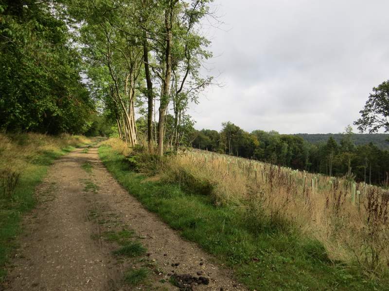
I followed Hale Lane steadily uphill, Soon after a wood started on my left, I took a track forking left that headed uphill through the wood (part of Wendover Woods, and on the eastern side of Boddington Hill). I went straight on where another track went left, and soon had an open area on my right where trees had been felled and saplings planted.
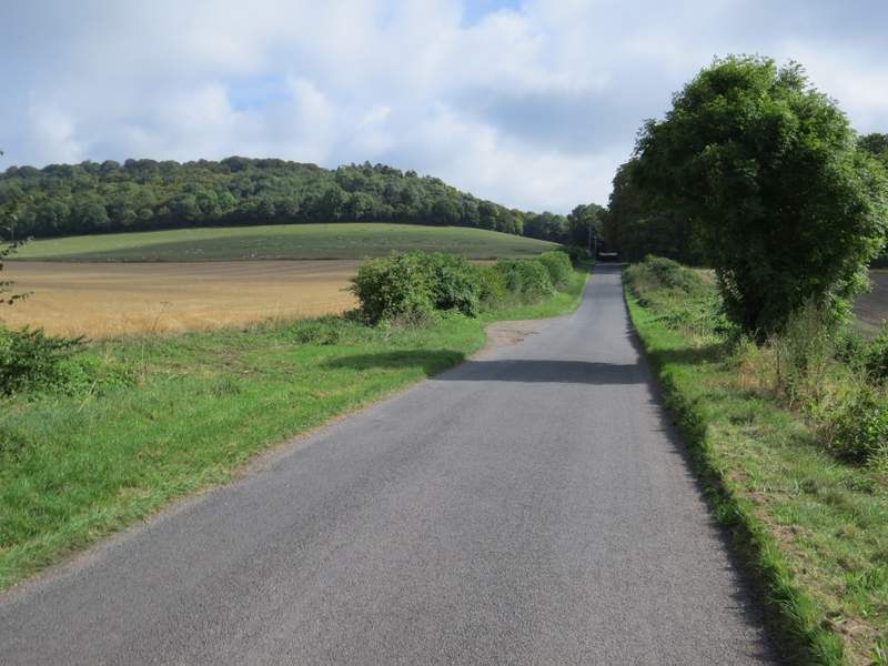
Hale Lane, with the wooded Boddington Hill on the left
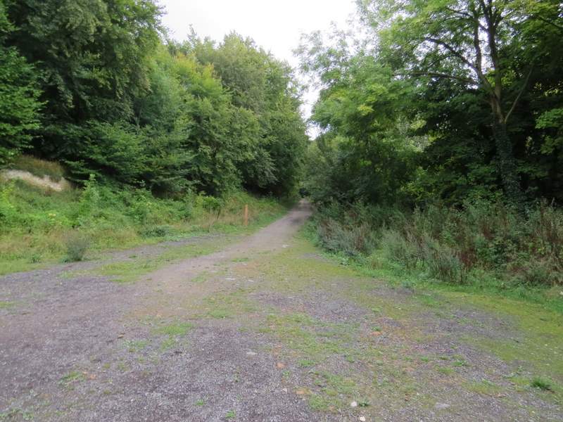
Near the start of the track up Boddington Hill
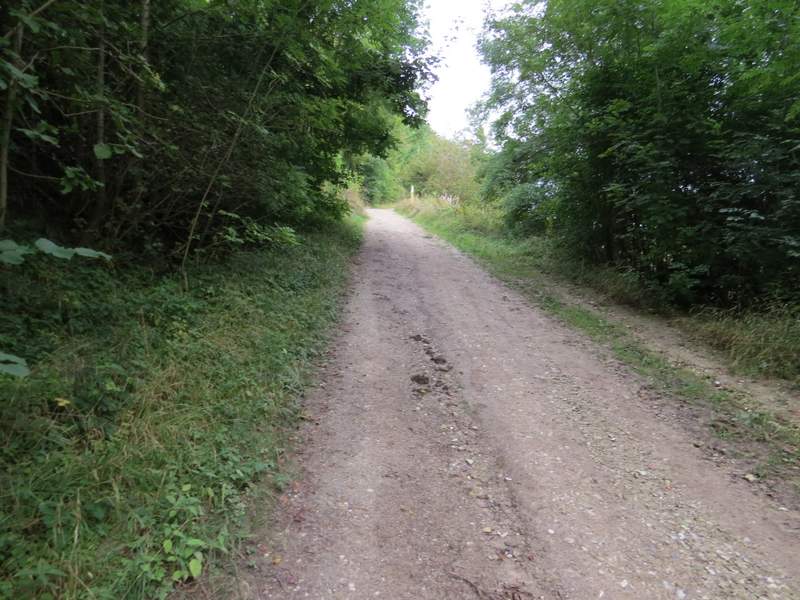
The track up Boddington Hill - the post is where another track goes left (I went straight on)
The track on Boddington Hill